Stubb's Wood
Wood, Forest in Kent Canterbury
England
Stubb's Wood

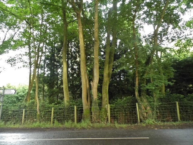
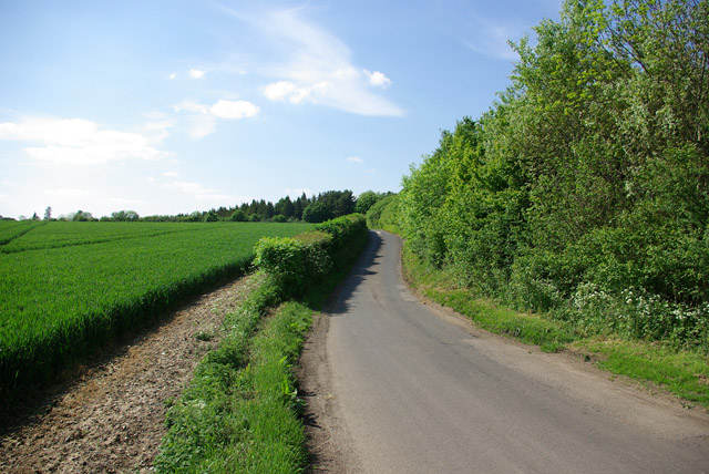
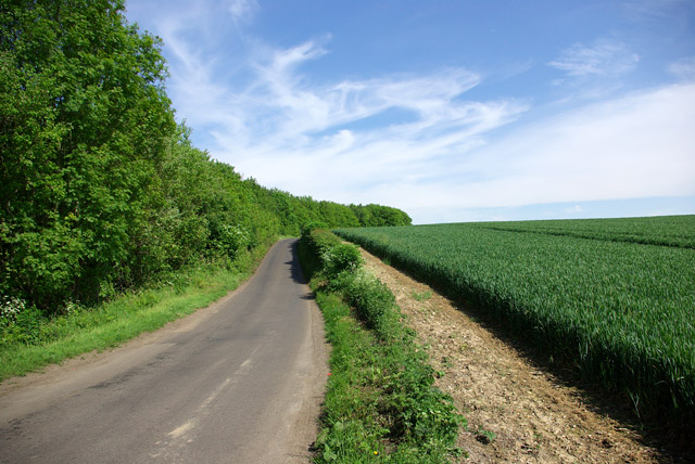
Stubb's Wood, located in the county of Kent, England, is a beautiful and diverse forest that covers an area of approximately 250 acres. The wood is situated near the village of Stubb's Cross, providing a tranquil escape from the hustle and bustle of nearby urban areas.
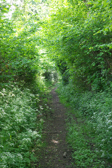
This ancient woodland is characterized by its rich biodiversity, with a variety of flora and fauna thriving within its boundaries. The forest is predominantly made up of broadleaf trees, such as oak, beech, and birch, which create a dense canopy overhead, allowing only dappled sunlight to filter through to the forest floor.
Walking through Stubb's Wood, visitors can expect to encounter a wide range of wildlife. The wood provides a habitat for numerous bird species, including woodpeckers, tits, and thrushes. Mammals such as deer, foxes, and badgers also call the forest home, adding to the enchanting atmosphere of the woodland.
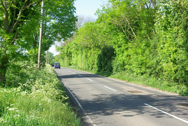
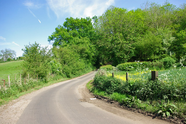
The wood is crisscrossed by a network of well-maintained footpaths, enabling visitors to explore its natural beauty at their leisure. These pathways lead to several viewpoints, offering stunning vistas of the surrounding countryside and the opportunity to observe the wildlife in their natural habitat.
Stubb's Wood is not only a haven for nature enthusiasts but also a popular destination for recreational activities. The forest provides ample space for picnicking, nature photography, and peaceful walks, making it an ideal spot for families and individuals seeking a peaceful retreat in the heart of nature.
Overall, Stubb's Wood in Kent is a picturesque forest that offers a serene escape, abundant wildlife, and various recreational opportunities for visitors to enjoy.
If you have any feedback on the listing, please let us know in the comments section below.
Stubb's Wood Images
Images are sourced within 2km of 51.203237/1.0446145 or Grid Reference TR1249. Thanks to Geograph Open Source API. All images are credited.


Stubb's Wood is located at Grid Ref: TR1249 (Lat: 51.203237, Lng: 1.0446145)
Administrative County: Kent
District: Canterbury
Police Authority: Kent
What 3 Words
///masking.profiled.anyone. Near Chartham, Kent
Nearby Locations
Related Wikis

Yockletts Bank
Yockletts Bank is a 25.4-hectare (63-acre) biological Site of Special Scientific Interest west of Stelling Minnis in Kent. It is managed by KWT and is...

Waltham, Kent
Waltham is a village and civil parish 7 miles (11 km) southwest of Canterbury in Kent, England. == History == The village was once associated with the...

Anvil Green
Anvil Green is a small settlement located near Waltham in Kent, England, about nine miles (14.4 km) north east of Ashford. == External links == Media...

Petham
Petham is a rural village and civil parish in the North Downs, five miles south of Canterbury in Kent, South East England. The village church is All Saints...

Bossingham
Bossingham is a large hamlet in the parish of Upper Hardres and the district of the City of Canterbury, Kent, England. It is located about five miles...

Upper Hardres
Upper Hardres is a village and civil parish in the City of Canterbury, in the district of Kent, England. The name of the Hardres family is perpetuated...

Stelling Minnis
Stelling Minnis is a village and civil parish in the Folkestone and Hythe district in Kent, England. The village lies 13 kilometres (8 mi) to the south...

Denge Wood
Denge Wood is a wood located 8 miles southwest of Canterbury in Kent, England. The wood is owned by the Forestry Commission and the Woodland Trust. Part...
Nearby Amenities
Located within 500m of 51.203237,1.0446145Have you been to Stubb's Wood?
Leave your review of Stubb's Wood below (or comments, questions and feedback).