Anslow Common
Settlement in Staffordshire East Staffordshire
England
Anslow Common

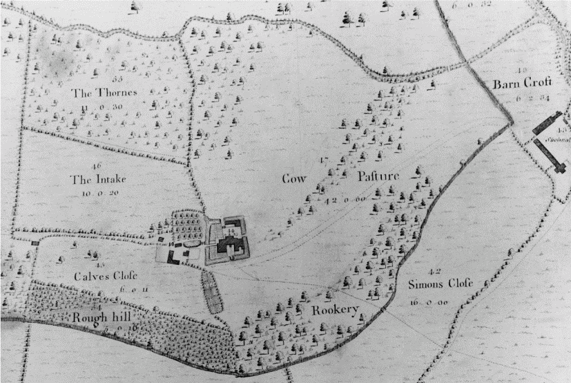
Anslow Common is a rural area located in the county of Staffordshire, England. Situated approximately four miles west of Burton upon Trent, it covers an expanse of approximately 70 acres. The common is predominantly made up of open grassland, interspersed with patches of woodland and small ponds.
The common has a rich history, dating back several centuries. It was historically used as common grazing land for local farmers, who would bring their livestock to graze on the open grassland. Over the years, the common has also served as an important site for local communities, hosting various events such as fairs and gatherings.
Today, Anslow Common is a popular destination for nature enthusiasts and walkers. The open grassland provides a habitat for a variety of flora and fauna, including a diverse range of wildflowers and bird species. Visitors can enjoy leisurely walks along the well-maintained footpaths that crisscross the common, taking in the picturesque views of the surrounding countryside.
The common is also home to a number of ancient oak trees, adding to its scenic beauty and providing a habitat for various wildlife species. The tranquil atmosphere and natural surroundings make it an ideal spot for relaxation and picnics.
Anslow Common offers a peaceful escape from the hustle and bustle of nearby urban areas, allowing visitors to immerse themselves in the beauty of nature and explore the rich history of the region.
If you have any feedback on the listing, please let us know in the comments section below.
Anslow Common Images
Images are sourced within 2km of 52.816761/-1.6967057 or Grid Reference SK2024. Thanks to Geograph Open Source API. All images are credited.


Anslow Common is located at Grid Ref: SK2024 (Lat: 52.816761, Lng: -1.6967057)
Administrative County: Staffordshire
District: East Staffordshire
Police Authority: Staffordshire
What 3 Words
///crimson.ooze.mavericks. Near Burton upon Trent, Staffordshire
Nearby Locations
Related Wikis

Anslow
Anslow is a village and civil parish in the East Staffordshire district of Staffordshire, England, about three miles [4.8 km] north-west of Burton upon...

Anslow Gate
Anslow Gate is a village in Staffordshire, England, situated to the west of Anslow on the road to Hanbury. According to the 2001 census, the parish of...
Sinai Park House
Sinai Park House is a grade II* listed building in Burton upon Trent, Staffordshire, England. Consisting of a central range with two wings the building...

Tatenhill
Tatenhill is an ancient village and a civil parish located in a deep valley, between two hills, which gradually descend from the eastern border of Needwood...
Queen's Hospital, Burton upon Trent
Queen's Hospital is a health facility on Belvedere Road in Burton upon Trent, Staffordshire. It is managed by University Hospitals of Derby and Burton...
Outwoods, East Staffordshire
Outwoods is a civil parish in the English county of Staffordshire. Once a village it is now a suburb on the flanks of the town of Burton upon Trent separated...

Shobnall
Shobnall is a settlement and civil parish located in Staffordshire, England. It covers an area located in the west of Burton upon Trent. The population...
Ind Coope Ground
The Ind Coope Ground was a cricket ground in Burton, England where Derbyshire CCC played between 1938 and 1980. In most years, the ground would host at...
Related Videos

A walk to the local pub on a sunny bank holiday
We are often asked if there is a nice walk directly off site, well there is and it leads to our local pub The Bell Inn. Fantastic for a ...

Romantic UK getaway
Located in the very centre of England Peake's Retreats is the perfect couples getaway. Just outside of the small, quiet village of ...

Weekly vlog 6th October 2019
We escaped Staffordshire this week for a visit to Cornwall to do some wedding dress shopping, crabbing and running on the ...

Weekly Vlog 8th September 2019
Here's a quick look at what our week looked like last week. From the arrival of a new kitten, yoga and yoga trapeze-ing, quick ...
Nearby Amenities
Located within 500m of 52.816761,-1.6967057Have you been to Anslow Common?
Leave your review of Anslow Common below (or comments, questions and feedback).