Hasman Rocks
Island in Kincardineshire
Scotland
Hasman Rocks

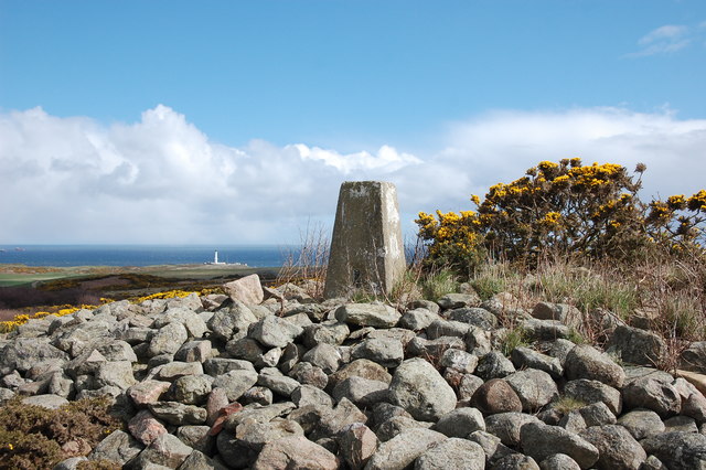
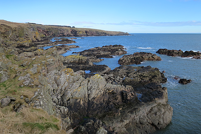
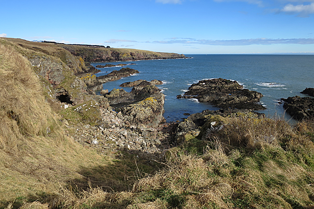
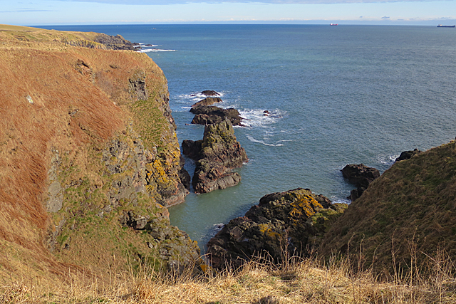
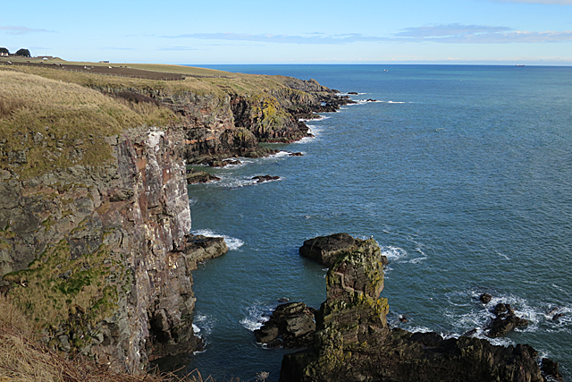
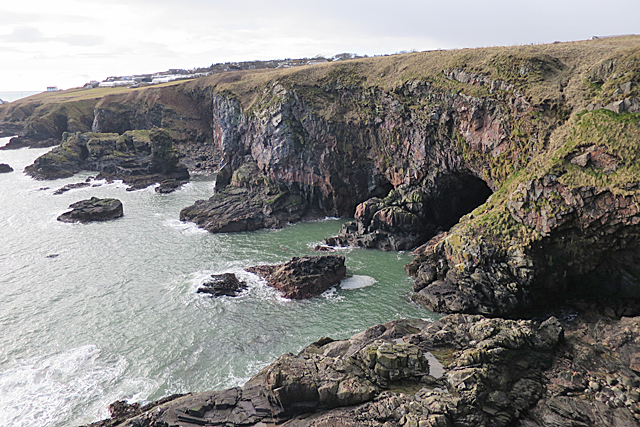
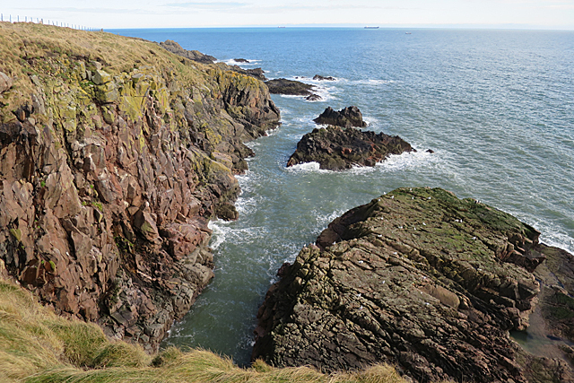
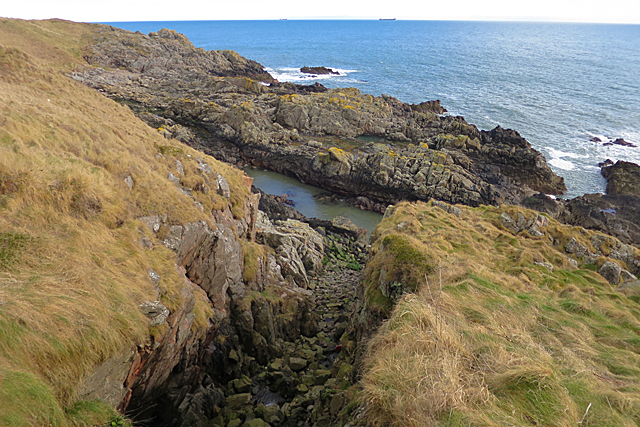
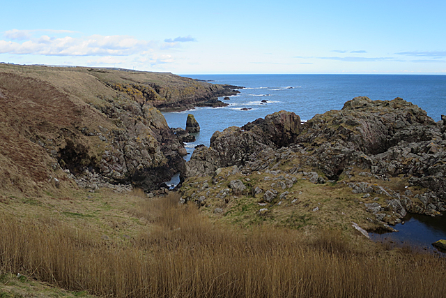
Hasman Rocks is a small uninhabited island located off the coast of Kincardineshire, Scotland. Situated in the North Sea, it is part of a group of islands known as the Fowlsheugh Nature Reserve. The island is roughly 250 meters in length and 100 meters wide, with an elevation of approximately 20 meters at its highest point.
The island is primarily composed of rugged and rocky terrain, with cliffs and steep slopes dominating its landscape. It is a haven for seabirds, particularly during the breeding season. Thousands of seabirds, including guillemots, razorbills, kittiwakes, and fulmars, nest on the cliffs and rock ledges of Hasman Rocks, creating a vibrant and bustling colony.
Access to the island is restricted due to its importance as a nature reserve and breeding site for seabirds. The surrounding waters are also home to a diverse range of marine life, including seals, dolphins, and various species of fish.
Hasman Rocks holds significant ecological value due to its role in supporting a thriving seabird population. It is recognized as a Site of Special Scientific Interest (SSSI) and is protected by various conservation measures. The island provides a valuable nesting habitat and feeding ground for numerous species, contributing to the overall biodiversity of the region.
While Hasman Rocks may be relatively small in size, its ecological significance and the abundance of wildlife make it an important and cherished location within the Fowlsheugh Nature Reserve and the wider Kincardineshire area.
If you have any feedback on the listing, please let us know in the comments section below.
Hasman Rocks Images
Images are sourced within 2km of 57.112629/-2.0579359 or Grid Reference NJ9602. Thanks to Geograph Open Source API. All images are credited.


Hasman Rocks is located at Grid Ref: NJ9602 (Lat: 57.112629, Lng: -2.0579359)
Unitary Authority: City of Aberdeen
Police Authority: North East
What 3 Words
///assist.tiny.voter. Near Cove, Aberdeen
Nearby Locations
Related Wikis

Doonies Farm
Doonies Rare Breeds Farm was a farm in Aberdeen, Scotland. Doonies Farm had one of Scotland's largest collections of rare and endangered farm animal breeds...

Altens
Altens is a district in Aberdeen, on the north-east coast of Scotland.Altens is home to a large industrial estate, alongside a similar estate in neighbouring...
St Mary's Church, Cove Bay
St Mary the Virgin (Cove Bay) is an Episcopal Church in Cove Bay, Aberdeen, Scotland. It is part of the Diocese of Aberdeen and Orkney in the Scottish...
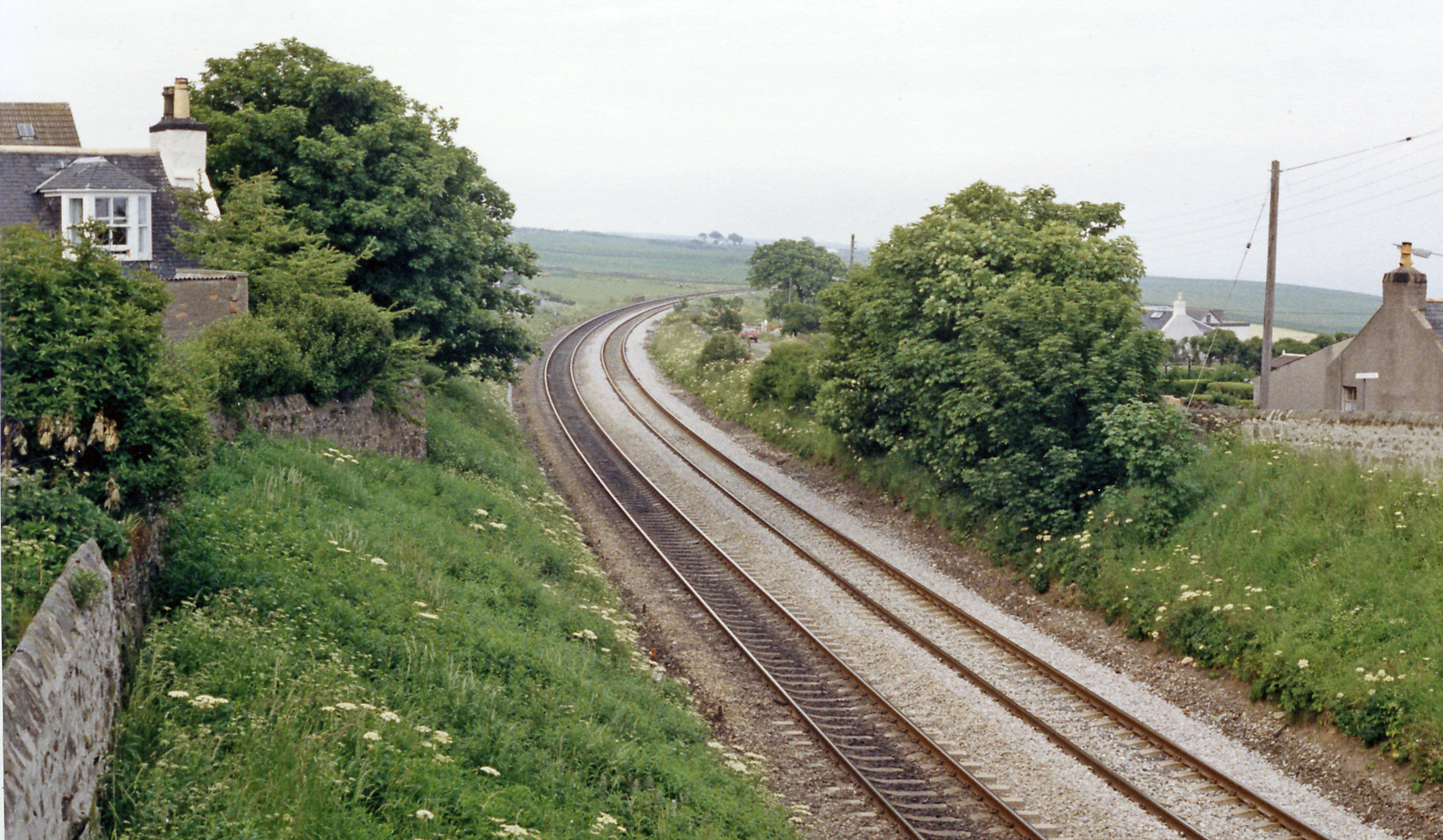
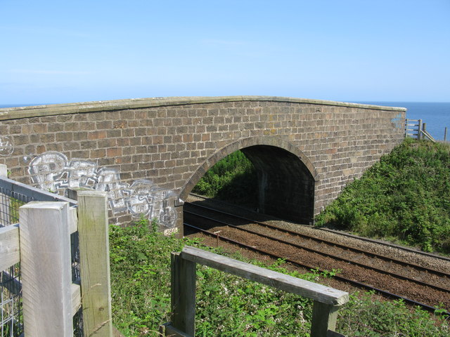
Cove Bay railway station
Cove Bay railway station served the suburb of Cove Bay, Aberdeen, Scotland from 1850 to 1956 on the Aberdeen Railway. == History == The station opened...
Nearby Amenities
Located within 500m of 57.112629,-2.0579359Have you been to Hasman Rocks?
Leave your review of Hasman Rocks below (or comments, questions and feedback).