Burnbanks Haven
Sea, Estuary, Creek in Kincardineshire
Scotland
Burnbanks Haven

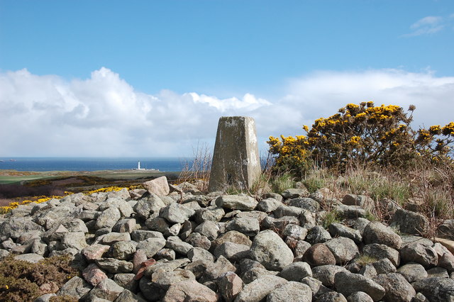
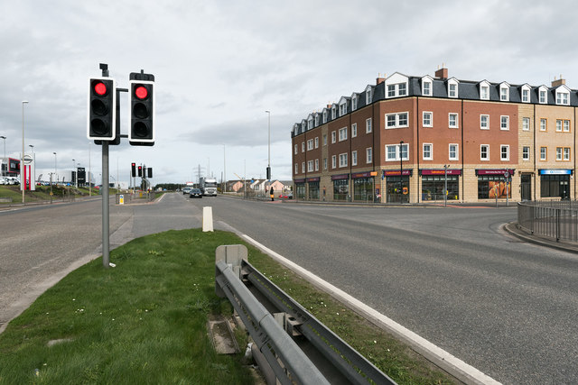
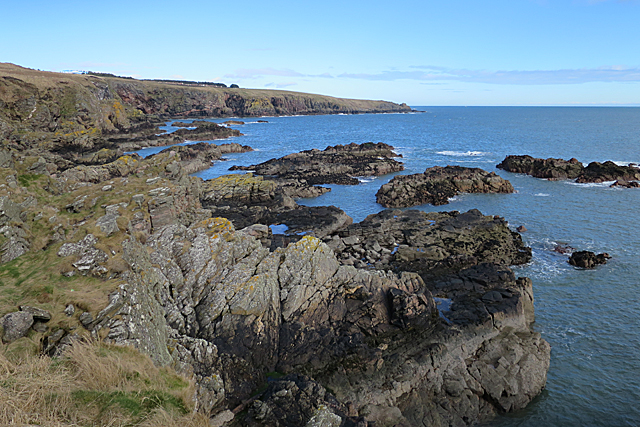
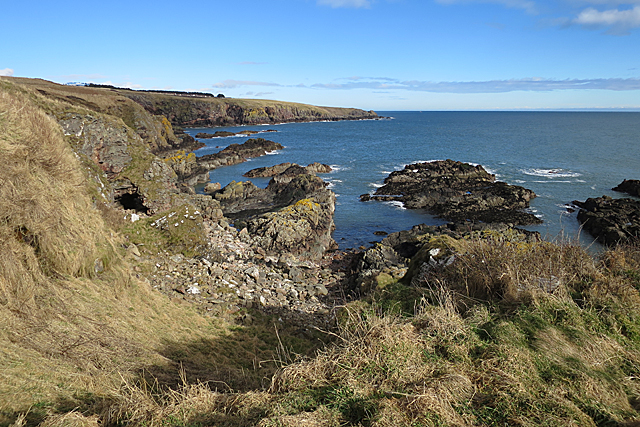
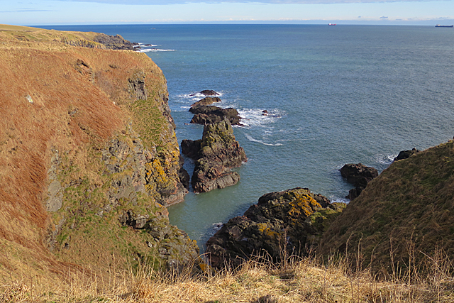
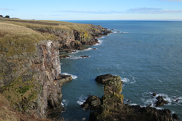
Burnbanks Haven is a picturesque coastal area located in Kincardineshire, Scotland. Situated along the North Sea, this haven consists of a sea, estuary, and creek, providing a diverse and unique marine ecosystem.
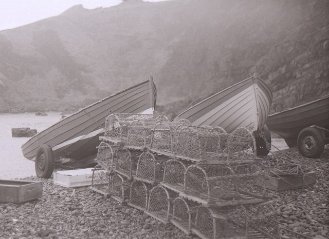
The sea at Burnbanks Haven is characterized by its pristine blue waters and sandy beaches. It offers a scenic view of the vast ocean, inviting visitors to relax and enjoy the tranquility of the surroundings. The sea is home to various marine species, making it a popular spot for fishing enthusiasts and wildlife enthusiasts alike.
Adjacent to the sea is an estuary, which serves as the meeting point between the freshwater rivers and the sea. This estuary is a vital habitat for numerous bird species that thrive in its marshy and muddy areas. Birdwatchers can catch glimpses of waders, gulls, and other coastal birds as they feed and nest along the estuary.
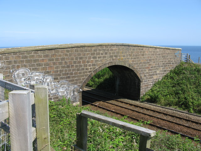
Further inland, a creek meanders through the landscape, providing a haven for small boats and kayaks. The creek is surrounded by lush vegetation and offers a peaceful environment for recreational activities such as paddleboarding or canoeing.
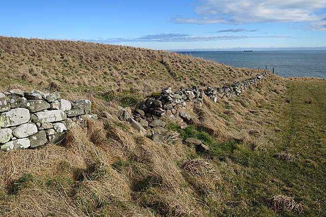
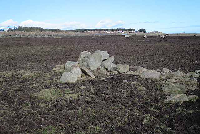
Burnbanks Haven not only offers natural beauty but also historical significance. The area is dotted with remnants of old fishing huts and boatyards, reflecting its rich maritime heritage.
Overall, Burnbanks Haven is a captivating coastal location that combines stunning sea views, an estuary teeming with birdlife, and a peaceful creek. Its natural beauty and historical charm make it a must-visit destination for nature lovers and those seeking a serene coastal getaway.
If you have any feedback on the listing, please let us know in the comments section below.
Burnbanks Haven Images
Images are sourced within 2km of 57.109428/-2.0643861 or Grid Reference NJ9602. Thanks to Geograph Open Source API. All images are credited.


Burnbanks Haven is located at Grid Ref: NJ9602 (Lat: 57.109428, Lng: -2.0643861)
Unitary Authority: City of Aberdeen
Police Authority: North East
What 3 Words
///noises.tinsel.mini. Near Cove, Aberdeen
Nearby Locations
Related Wikis

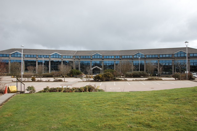
Altens
Altens is a district in Aberdeen, on the north-east coast of Scotland.Altens is home to a large industrial estate, alongside a similar estate in neighbouring...
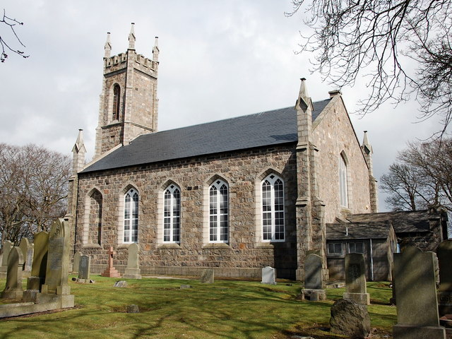
St Mary's Church, Cove Bay
St Mary the Virgin (Cove Bay) is an Episcopal Church in Cove Bay, Aberdeen, Scotland. It is part of the Diocese of Aberdeen and Orkney in the Scottish...
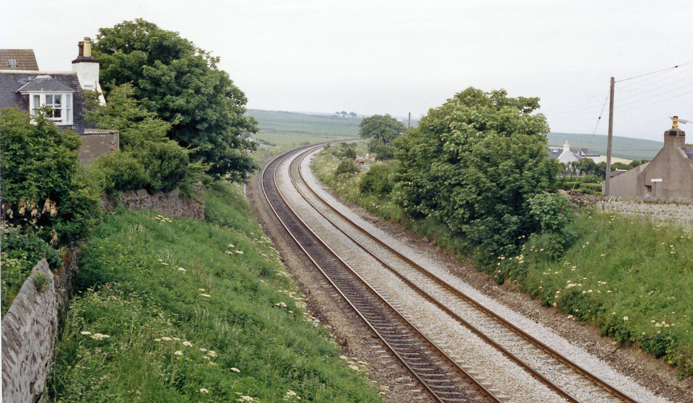
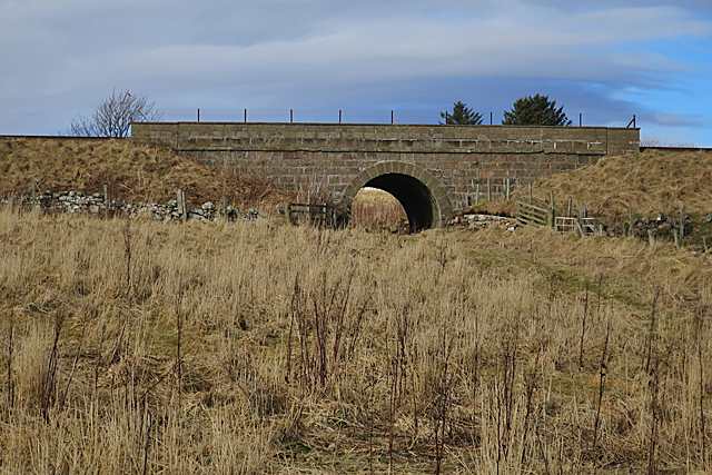
Cove Bay railway station
Cove Bay railway station served the suburb of Cove Bay, Aberdeen, Scotland from 1850 to 1956 on the Aberdeen Railway. == History == The station opened...

Doonies Farm
Doonies Rare Breeds Farm was a farm in Aberdeen, Scotland. Doonies Farm had one of Scotland's largest collections of rare and endangered farm animal breeds...
Nearby Amenities
Located within 500m of 57.109428,-2.0643861Have you been to Burnbanks Haven?
Leave your review of Burnbanks Haven below (or comments, questions and feedback).