Bunstane Cove
Sea, Estuary, Creek in Kincardineshire
Scotland
Bunstane Cove
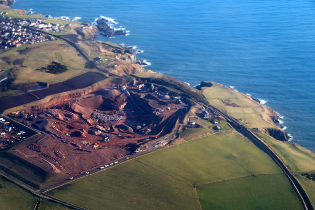
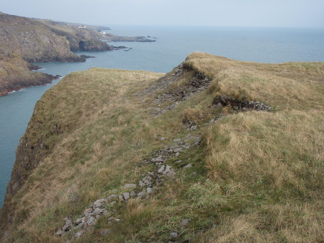
Bunstane Cove is a picturesque coastal area located in Kincardineshire, Scotland. Situated on the east coast of Scotland, it is renowned for its natural beauty and diverse marine life. The cove is nestled between towering cliffs, offering stunning views of the North Sea.
The area is characterized by its rugged coastline, with jagged rocks and pebble beaches. At low tide, a small estuary and creek are revealed, creating a unique and dynamic environment. The creek flows into the sea, providing a habitat for various marine species and attracting birdwatchers and nature enthusiasts alike.
Bunstane Cove is a haven for wildlife, with seals often spotted basking on the rocks and an array of seabirds soaring above the cliffs. The cove is also known for its rich marine biodiversity, with numerous species of fish, crustaceans, and mollusks inhabiting its waters.
The surrounding area offers several walking trails and coastal paths, allowing visitors to explore the stunning scenery and enjoy the tranquility of the cove. Along the cliffs, there are also opportunities for rock climbing and birdwatching, making it a popular destination for outdoor enthusiasts.
Despite its natural beauty, Bunstane Cove remains relatively untouched by tourism, providing visitors with a peaceful and unspoiled coastal experience. Its remote location and rugged charm make it a hidden gem along the Scottish coast, offering a unique and memorable experience for those who venture to discover its beauty.
If you have any feedback on the listing, please let us know in the comments section below.
Bunstane Cove Images
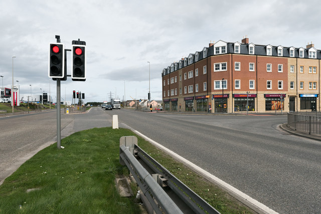
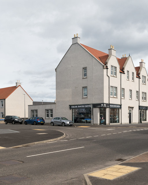
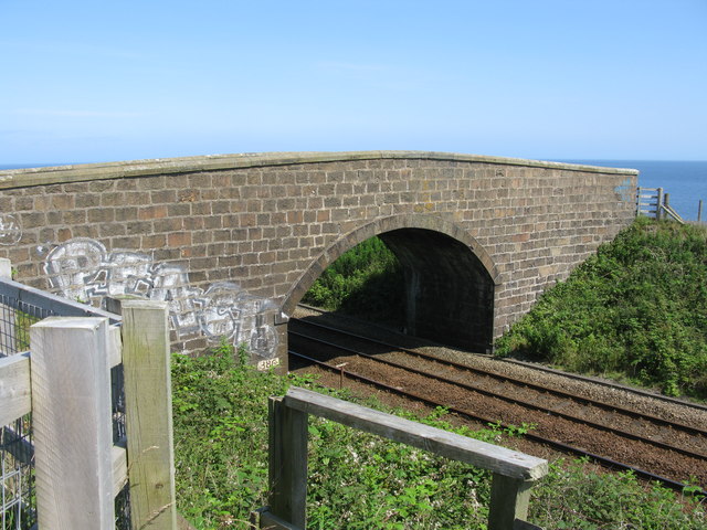
Images are sourced within 2km of 57.105122/-2.0690998 or Grid Reference NJ9501. Thanks to Geograph Open Source API. All images are credited.


Bunstane Cove is located at Grid Ref: NJ9501 (Lat: 57.105122, Lng: -2.0690998)
Unitary Authority: City of Aberdeen
Police Authority: North East
What 3 Words
///broken.shave.order. Near Cove, Aberdeen
Nearby Locations
Related Wikis
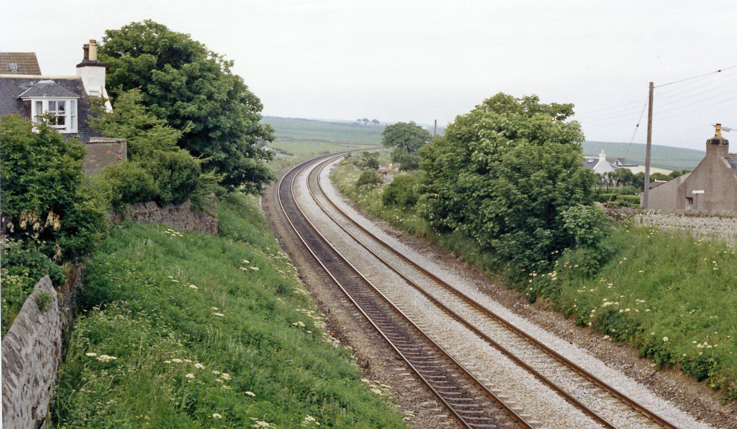
Cove Bay railway station
Cove Bay railway station served the suburb of Cove Bay, Aberdeen, Scotland from 1850 to 1956 on the Aberdeen Railway. == History == The station opened...

St Mary's Church, Cove Bay
St Mary the Virgin (Cove Bay) is an Episcopal Church in Cove Bay, Aberdeen, Scotland. It is part of the Diocese of Aberdeen and Orkney in the Scottish...

Cove Bay
Cove Bay, known locally as Cove, is a suburb on the south-east edge of Aberdeen, Scotland. Today Cove is home to around 8,000 people. It is a popular residential...
Altens
Altens is a district in Aberdeen, on the north-east coast of Scotland.Altens is home to a large industrial estate, alongside a similar estate in neighbouring...
Nearby Amenities
Located within 500m of 57.105122,-2.0690998Have you been to Bunstane Cove?
Leave your review of Bunstane Cove below (or comments, questions and feedback).