Bun Stane
Coastal Feature, Headland, Point in Kincardineshire
Scotland
Bun Stane
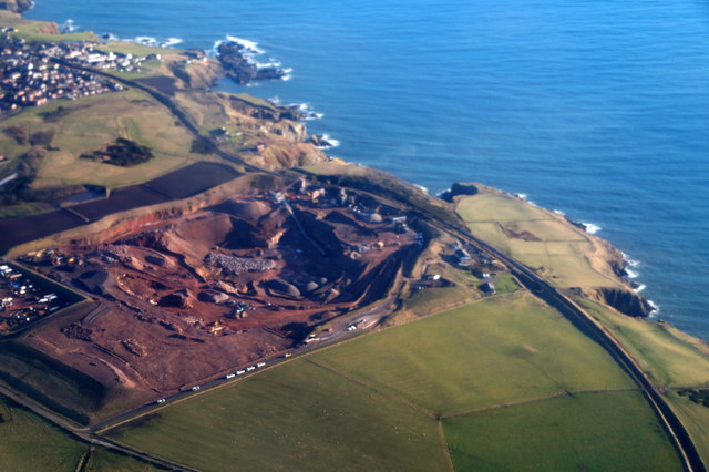
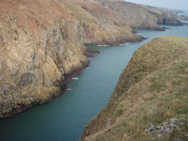
Bun Stane is a prominent coastal feature located in Kincardineshire, Scotland. It is a picturesque headland that juts out into the North Sea, forming a distinctive point along the coastline. This natural formation is known for its rugged beauty and stunning views, attracting both locals and tourists alike.
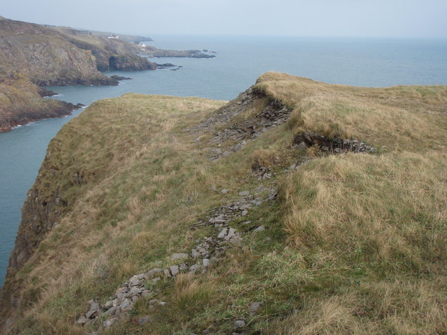
The headland is characterized by towering cliffs that offer a dramatic backdrop to the crashing waves below. These cliffs are composed of layered sedimentary rock, which has been shaped over time by the relentless forces of erosion and weathering. The exposed rock formations showcase a range of colors, from deep reds and browns to lighter shades of sand and gray.
At the tip of the headland stands a large, solitary stone known as the Bun Stane. This impressive boulder is believed to be a glacial erratic, deposited by the retreat of glaciers during the last Ice Age. The Bun Stane is a prominent landmark and has become a symbol of the area.
Bun Stane is not only a visually striking feature, but it also serves as a habitat for a diverse range of coastal wildlife. The cliffs provide nesting sites for various seabirds, such as gulls, fulmars, and kittiwakes. Additionally, the surrounding waters are home to a variety of marine life, including seals, dolphins, and even occasional sightings of whales.
Access to Bun Stane is relatively easy, with a well-maintained footpath leading visitors to the headland. There are also designated viewing areas that allow visitors to appreciate the breathtaking panoramic views of the North Sea and the surrounding coastline.
Overall, Bun Stane is a captivating coastal feature that offers a unique blend of natural beauty, geological significance, and wildlife habitat. It is a must-visit destination for those seeking to explore the stunning coastline of Kincardineshire.
If you have any feedback on the listing, please let us know in the comments section below.
Bun Stane Images
Images are sourced within 2km of 57.104889/-2.0691654 or Grid Reference NJ9501. Thanks to Geograph Open Source API. All images are credited.


Bun Stane is located at Grid Ref: NJ9501 (Lat: 57.104889, Lng: -2.0691654)
Unitary Authority: City of Aberdeen
Police Authority: North East
What 3 Words
///match.pardon.park. Near Cove, Aberdeen
Nearby Locations
Related Wikis
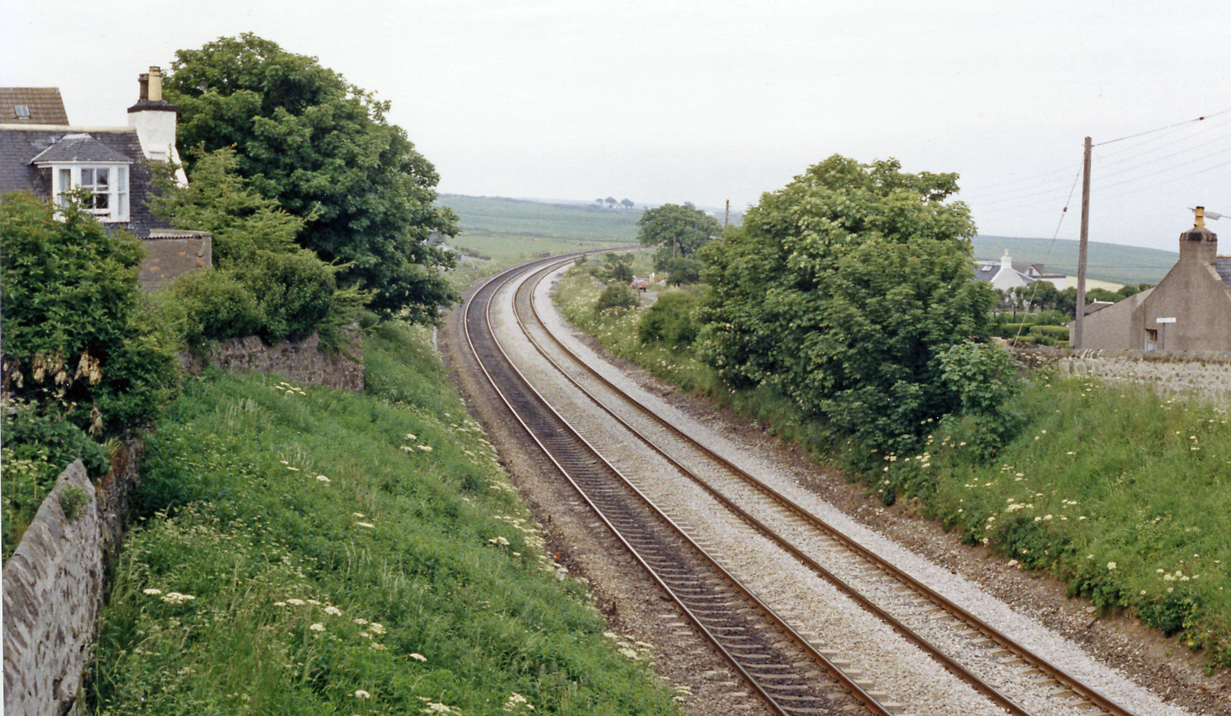
Cove Bay railway station
Cove Bay railway station served the suburb of Cove Bay, Aberdeen, Scotland from 1850 to 1956 on the Aberdeen Railway. == History == The station opened...

St Mary's Church, Cove Bay
St Mary the Virgin (Cove Bay) is an Episcopal Church in Cove Bay, Aberdeen, Scotland. It is part of the Diocese of Aberdeen and Orkney in the Scottish...

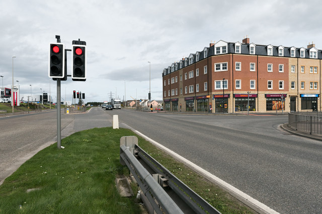
Cove Bay
Cove Bay, known locally as Cove, is a suburb on the south-east edge of Aberdeen, Scotland. Today Cove is home to around 8,000 people. It is a popular residential...
Altens
Altens is a district in Aberdeen, on the north-east coast of Scotland.Altens is home to a large industrial estate, alongside a similar estate in neighbouring...
Hare Ness
Hare Ness is a headland landform along the North Sea coastline a few miles south of Aberdeen, Scotland. == History == Hare Ness is situated several kilometres...
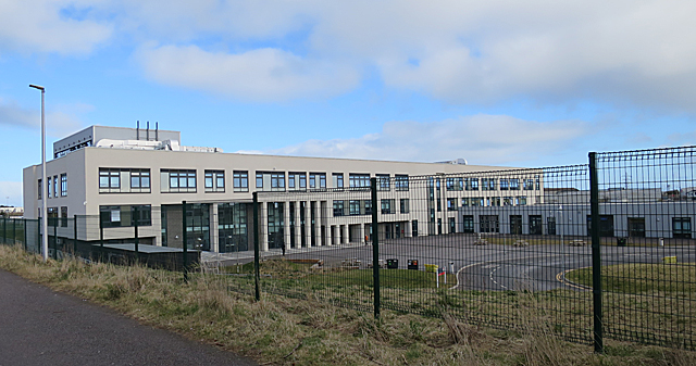
Lochside Academy
Lochside Academy is a co-educational secondary school in Altens, Aberdeen, run by Aberdeen City Council. Its feeder primary schools are Abbotswell School...

Doonies Farm
Doonies Rare Breeds Farm was a farm in Aberdeen, Scotland. Doonies Farm had one of Scotland's largest collections of rare and endangered farm animal breeds...

Tullos
Tullos is an area of Aberdeen, Scotland. The area takes its name from the Vale of Tullos, which lies between Tullos Hill and Torry Hill. Tullos derived...
Nearby Amenities
Located within 500m of 57.104889,-2.0691654Have you been to Bun Stane?
Leave your review of Bun Stane below (or comments, questions and feedback).