Seals Hole
Sea, Estuary, Creek in Kincardineshire
Scotland
Seals Hole

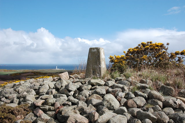
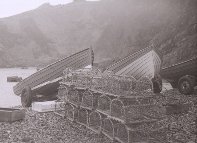
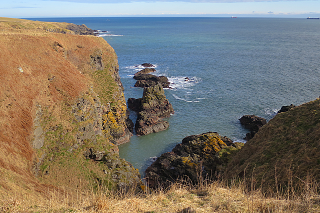
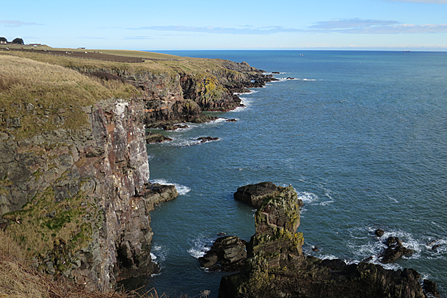
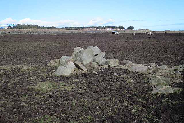
Seals Hole is a small coastal inlet located in the region of Kincardineshire, Scotland. Nestled between the North Sea and the town of Stonehaven, it serves as an estuary for the Carron Water, a local creek. This picturesque area is renowned for its diverse wildlife and stunning natural beauty.
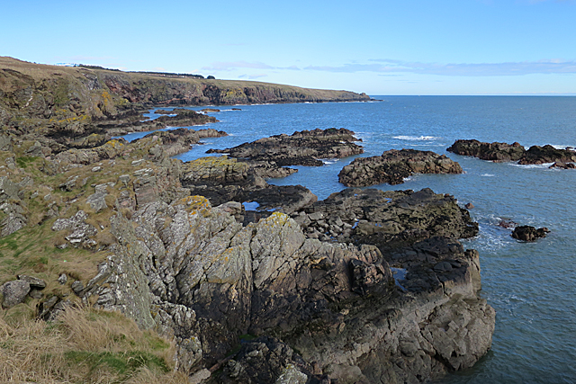
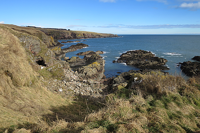
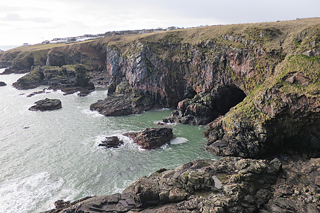
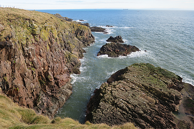
The inlet itself features a narrow opening that widens as it stretches inland, creating a serene and sheltered environment. The waters of Seals Hole are influenced by the tides, resulting in a unique blend of saltwater and freshwater. This delicate balance makes it an ideal habitat for a variety of marine and bird species.
One of the main attractions of Seals Hole is its resident population of grey seals. These charismatic creatures can often be seen basking on the rocky shores or swimming in the tranquil waters. Visitors can observe them from a safe distance, respecting their natural habitat and ensuring minimal disturbance.
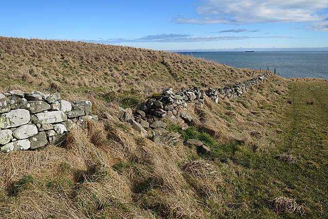
The surrounding landscape of Seals Hole is equally captivating. The rugged cliffs and rocky outcrops provide a dramatic backdrop, while the sandy beaches and dunes offer a peaceful retreat. The area is a haven for birdwatchers, with numerous species of seabirds frequenting the shores, including gulls, terns, and cormorants.
For outdoor enthusiasts, Seals Hole offers opportunities for coastal walks, picnicking, and photography. The nearby town of Stonehaven provides convenient access to amenities such as cafes, shops, and accommodation options.
In summary, Seals Hole in Kincardineshire is a picturesque estuary that showcases the beauty of Scotland's coastal landscapes. With its diverse wildlife, stunning views, and recreational activities, it is a must-visit destination for nature lovers and those seeking a peaceful escape.
If you have any feedback on the listing, please let us know in the comments section below.
Seals Hole Images
Images are sourced within 2km of 57.111127/-2.0617804 or Grid Reference NJ9602. Thanks to Geograph Open Source API. All images are credited.


Seals Hole is located at Grid Ref: NJ9602 (Lat: 57.111127, Lng: -2.0617804)
Unitary Authority: City of Aberdeen
Police Authority: North East
What 3 Words
///forgot.warm.fired. Near Cove, Aberdeen
Nearby Locations
Related Wikis

Doonies Farm
Doonies Rare Breeds Farm was a farm in Aberdeen, Scotland. Doonies Farm had one of Scotland's largest collections of rare and endangered farm animal breeds...

Altens
Altens is a district in Aberdeen, on the north-east coast of Scotland.Altens is home to a large industrial estate, alongside a similar estate in neighbouring...
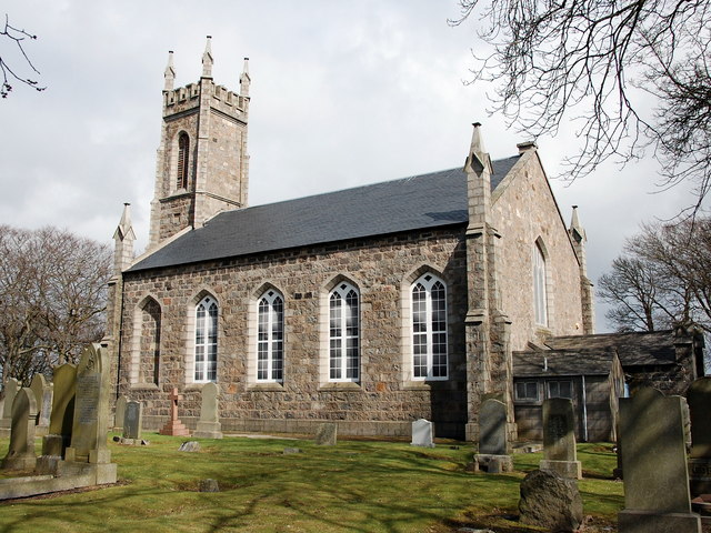
St Mary's Church, Cove Bay
St Mary the Virgin (Cove Bay) is an Episcopal Church in Cove Bay, Aberdeen, Scotland. It is part of the Diocese of Aberdeen and Orkney in the Scottish...
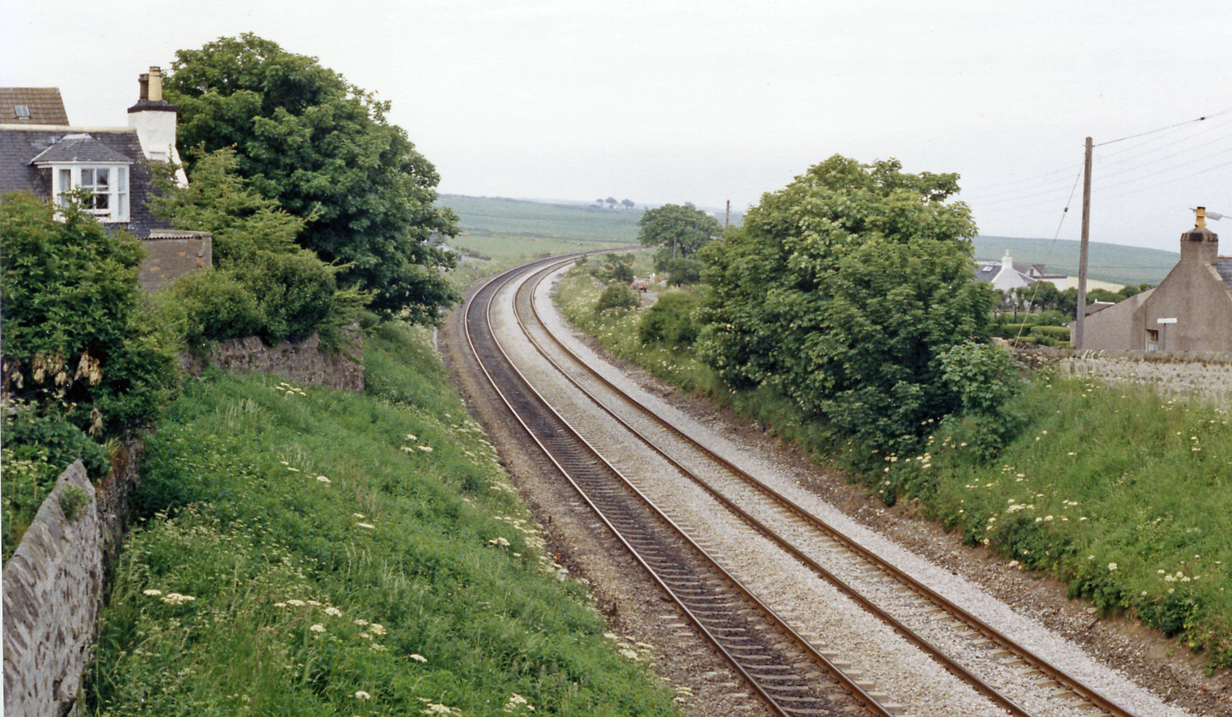
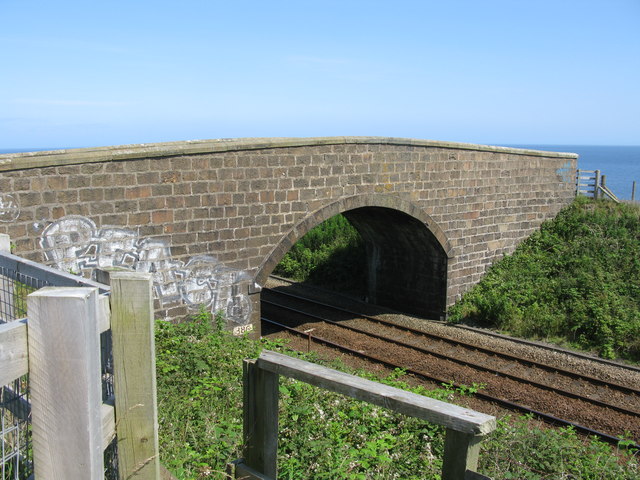
Cove Bay railway station
Cove Bay railway station served the suburb of Cove Bay, Aberdeen, Scotland from 1850 to 1956 on the Aberdeen Railway. == History == The station opened...
Nearby Amenities
Located within 500m of 57.111127,-2.0617804Have you been to Seals Hole?
Leave your review of Seals Hole below (or comments, questions and feedback).