A' Chlèit
Island in Argyllshire
Scotland
A' Chlèit
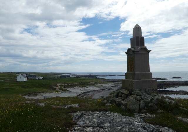
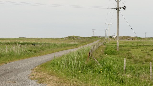
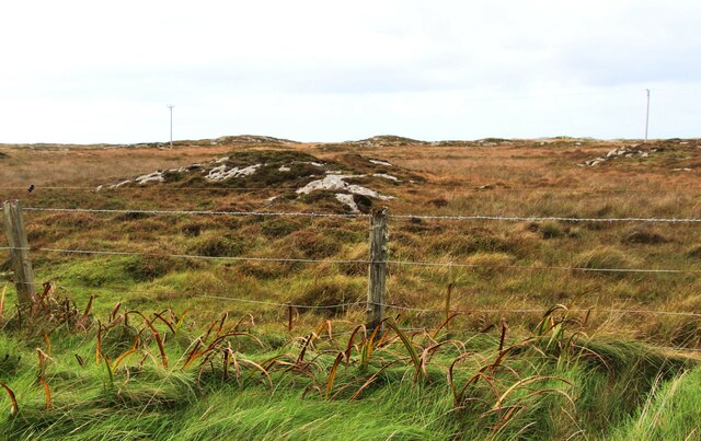
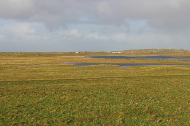
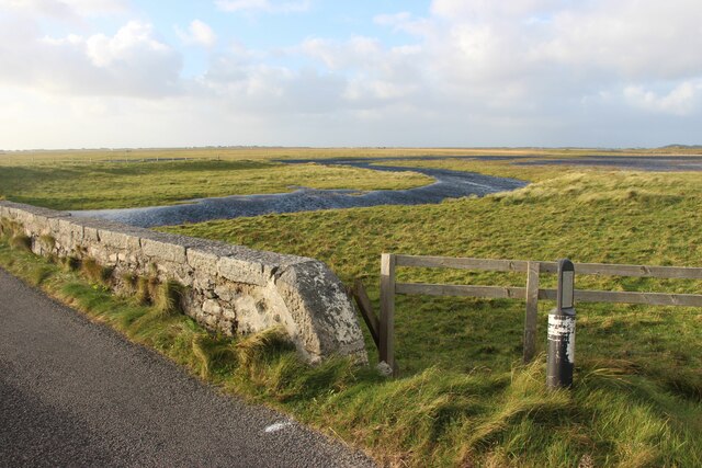
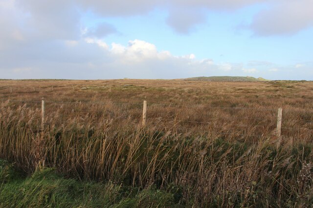
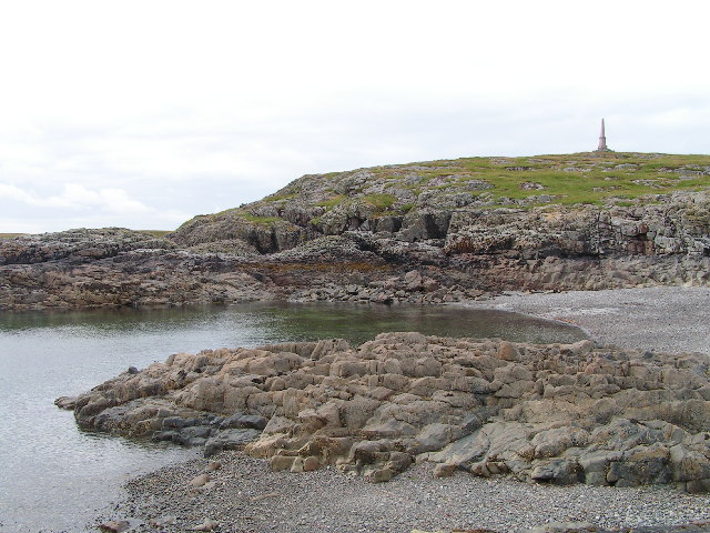
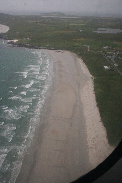
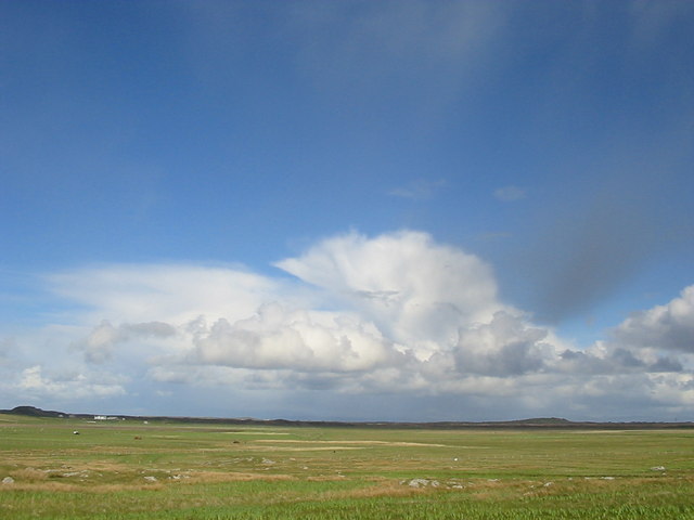
A' Chlèit is a small island located in Argyllshire, Scotland. Situated off the west coast of Scotland, it is part of the Inner Hebrides archipelago. The island boasts stunning natural beauty, with rugged cliffs, sandy beaches, and rolling green hills.
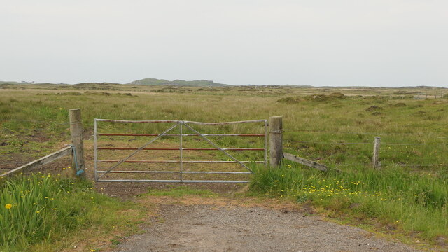
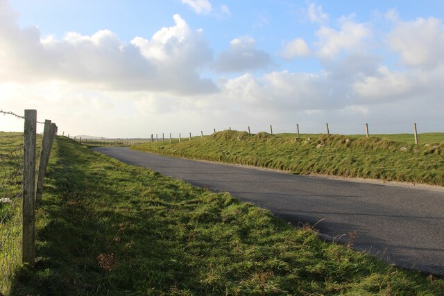
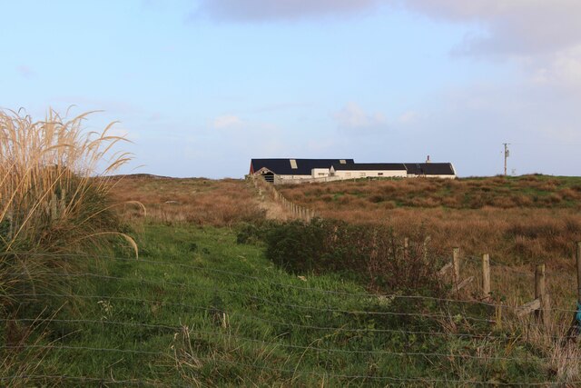
Covering an area of approximately 1 square kilometer, A' Chlèit is sparsely populated, with only a handful of residents. The island is accessible by boat, and there is a small harbor that serves as the main point of entry. The island's isolation and tranquility make it a popular destination among nature lovers and those seeking a peaceful retreat.
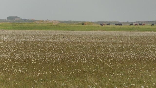
A' Chlèit is home to a diverse range of wildlife, including various seabirds, seals, and occasional dolphin sightings. The surrounding waters are teeming with marine life, making it an ideal spot for fishing and wildlife observation.
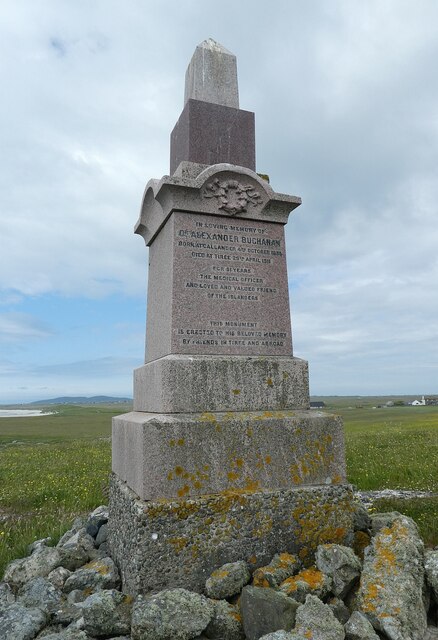
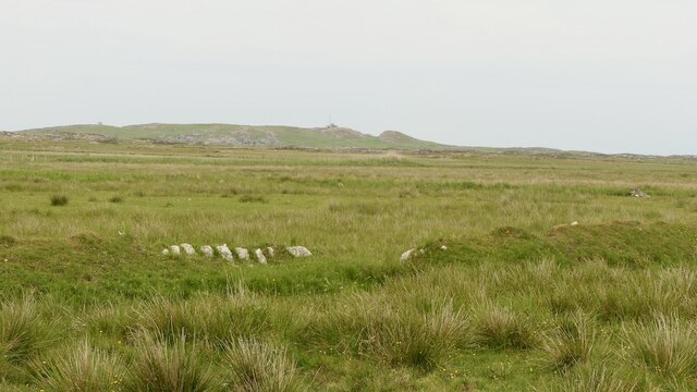
The island is characterized by its rich history and archaeological sites. Ruins of ancient settlements and stone circles can be found scattered across the island, offering a glimpse into its past. The island's Gaelic heritage is also evident in its culture and traditions.
Visitors to A' Chlèit can enjoy activities such as hiking, birdwatching, and beachcombing. The island offers breathtaking views of the surrounding sea and neighboring islands, providing ample opportunities for photography and nature exploration.
Despite its small size, A' Chlèit offers a unique and enchanting experience for those seeking a remote and untouched destination in the heart of Scotland's picturesque coastline.
If you have any feedback on the listing, please let us know in the comments section below.
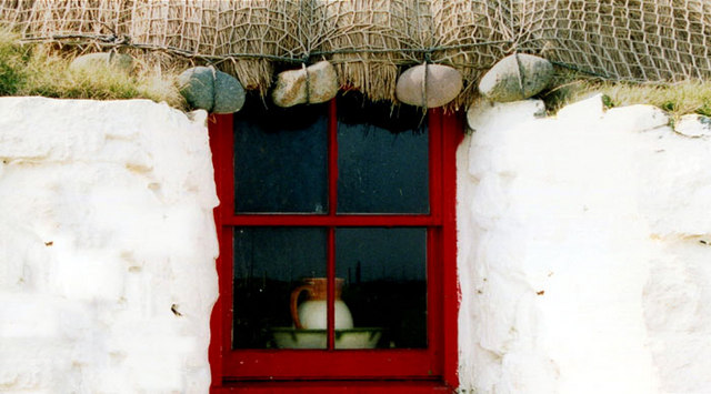
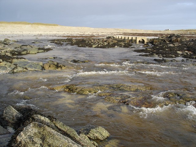
A' Chlèit Images
Images are sourced within 2km of 56.487996/-6.837232 or Grid Reference NM0243. Thanks to Geograph Open Source API. All images are credited.
A' Chlèit is located at Grid Ref: NM0243 (Lat: 56.487996, Lng: -6.837232)
Unitary Authority: Argyll and Bute
Police Authority: Argyll and West Dunbartonshire
What 3 Words
///racing.dusters.copying. Near Scarinish, Argyll & Bute
Related Wikis

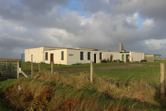
Tiree Airport
Tiree Airport (Scottish Gaelic: Port-adhair Thiriodh) (IATA: TRE, ICAO: EGPU) is located 2.5 nautical miles (4.6 km; 2.9 mi) north northeast of Balemartine...

Scarinish
Scarinish (Scottish Gaelic: Sgairinis [ˈs̪kaɾʲɪnɪʃ]) is the main village on the island of Tiree, in the Inner Hebrides of Scotland. It is located on the...

Tiree Music Festival
Tiree Music Festival is a Scottish folk music festival held annually on the Island of Tiree in the Inner Hebrides. The festival was founded in 2010 by...

Tiree
Tiree (; Scottish Gaelic: Tiriodh, pronounced [ˈtʲʰiɾʲəɣ]) is the most westerly island in the Inner Hebrides of Scotland. The low-lying island, southwest...

Mannal
Mannal is a coastal hamlet on the west side of Hynish Bay, on the island of Tiree, Scotland. The township of Mannal lies on the southwest corner of Tiree...

Dun Mor Vaul
Dun Mor Vaul (or simply Dun Mor; Scottish Gaelic: Dùn Mòr) is an iron-age broch located on the north coast of the island of Tiree, in Scotland. ��2�...
Nearby Amenities
Located within 500m of 56.487996,-6.837232Have you been to A' Chlèit?
Leave your review of A' Chlèit below (or comments, questions and feedback).