Port an Ladhair
Sea, Estuary, Creek in Argyllshire
Scotland
Port an Ladhair
Port an Ladhair is a small coastal settlement located in Argyllshire, Scotland. Situated on the west coast, it is nestled between the rugged hills and the vast Atlantic Ocean. The name Port an Ladhair translates to "port of the calf" in Gaelic, reflecting the area's historical connection to livestock farming.
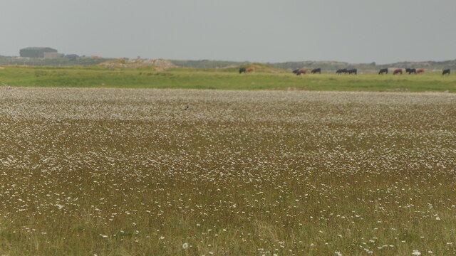
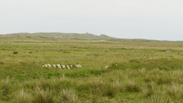
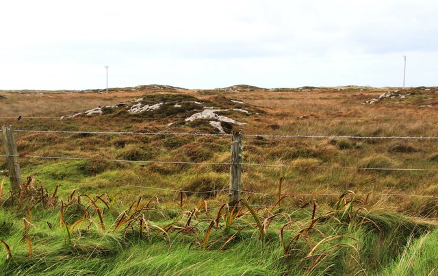
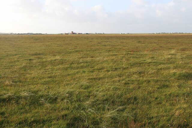
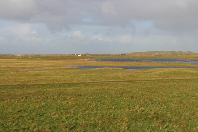
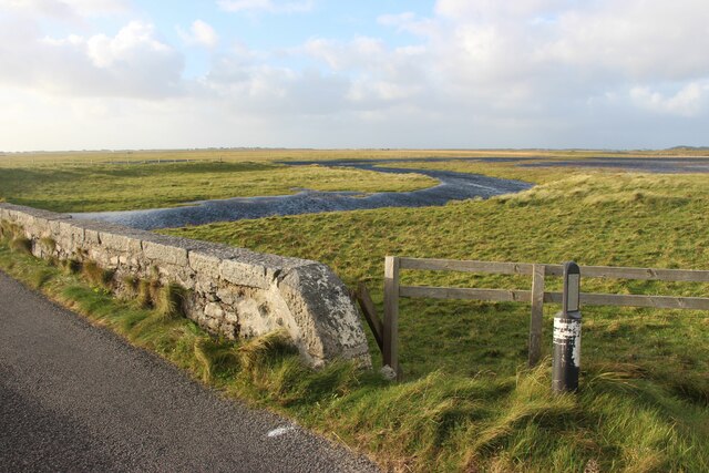
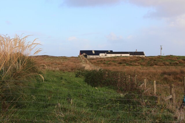
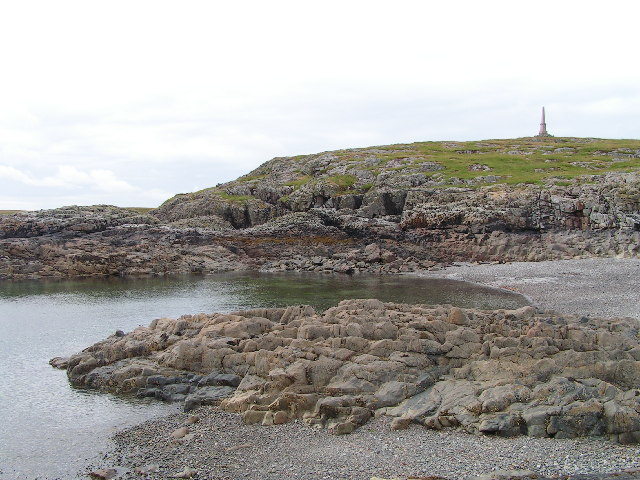
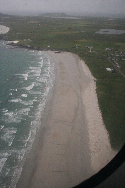
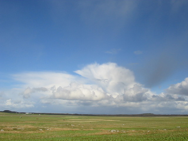
The defining feature of Port an Ladhair is its picturesque seafront, which comprises a mix of sandy beaches, rocky cliffs, and tranquil estuaries. The shoreline offers breathtaking views of the surrounding landscape, with the ever-changing tides creating a dynamic and mesmerizing seascape. The area is known for its rich biodiversity, attracting nature enthusiasts and birdwatchers alike.
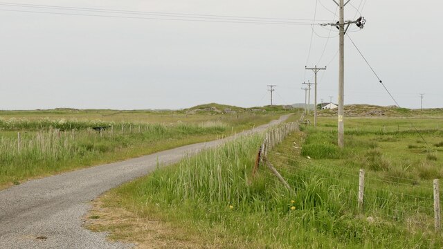
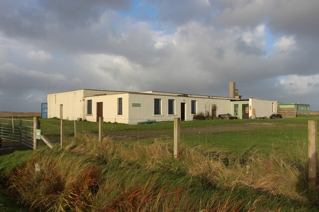
The local community relies heavily on the sea for their livelihoods, with fishing and maritime activities playing a significant role in the economy. The port acts as a hub for small fishing vessels and pleasure boats, providing a gateway to explore the nearby islands and coastal areas.
Port an Ladhair is also home to a thriving ecosystem in its creek, where freshwater from the surrounding hills meets the saltwater of the sea. This unique blend of environments supports a diverse range of flora and fauna, making it an important habitat for various species of fish, birds, and marine life.
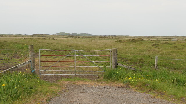
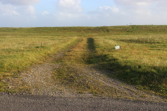
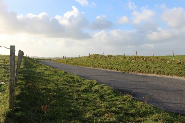
Despite its remote location, Port an Ladhair attracts visitors seeking solace and natural beauty. The area offers a range of outdoor activities, including hiking, kayaking, and wildlife spotting. With its tranquil charm and stunning vistas, Port an Ladhair is a hidden gem on Scotland's west coast.
If you have any feedback on the listing, please let us know in the comments section below.
Port an Ladhair Images
Images are sourced within 2km of 56.489608/-6.8429666 or Grid Reference NM0243. Thanks to Geograph Open Source API. All images are credited.
Port an Ladhair is located at Grid Ref: NM0243 (Lat: 56.489608, Lng: -6.8429666)
Unitary Authority: Argyll and Bute
Police Authority: Argyll and West Dunbartonshire
What 3 Words
///tech.suspended.foreheads. Near Scarinish, Argyll & Bute
Related Wikis

Tiree Airport
Tiree Airport (Scottish Gaelic: Port-adhair Thiriodh) (IATA: TRE, ICAO: EGPU) is located 2.5 nautical miles (4.6 km; 2.9 mi) north northeast of Balemartine...

Scarinish
Scarinish (Scottish Gaelic: Sgairinis [ˈs̪kaɾʲɪnɪʃ]) is the main village on the island of Tiree, in the Inner Hebrides of Scotland. It is located on the...

Tiree Music Festival
Tiree Music Festival is a Scottish folk music festival held annually on the Island of Tiree in the Inner Hebrides. The festival was founded in 2010 by...

Tiree
Tiree (; Scottish Gaelic: Tiriodh, pronounced [ˈtʲʰiɾʲəɣ]) is the most westerly island in the Inner Hebrides of Scotland. The low-lying island, southwest...

Mannal
Mannal is a coastal hamlet on the west side of Hynish Bay, on the island of Tiree, Scotland. The township of Mannal lies on the southwest corner of Tiree...

Dun Mor Vaul
Dun Mor Vaul (or simply Dun Mor; Scottish Gaelic: Dùn Mòr) is an iron-age broch located on the north coast of the island of Tiree, in Scotland. ��2�...
Nearby Amenities
Located within 500m of 56.489608,-6.8429666Have you been to Port an Ladhair?
Leave your review of Port an Ladhair below (or comments, questions and feedback).