Carraig nan Ddmh

Coastal Feature, Headland, Point in Argyllshire

Scotland

Carraig nan Ddmh

Machair, Tiree Full of waders and their chicks.  A vast flat area behind Tràigh Bhàgh.
Machair, Tiree Credit: Richard Webb

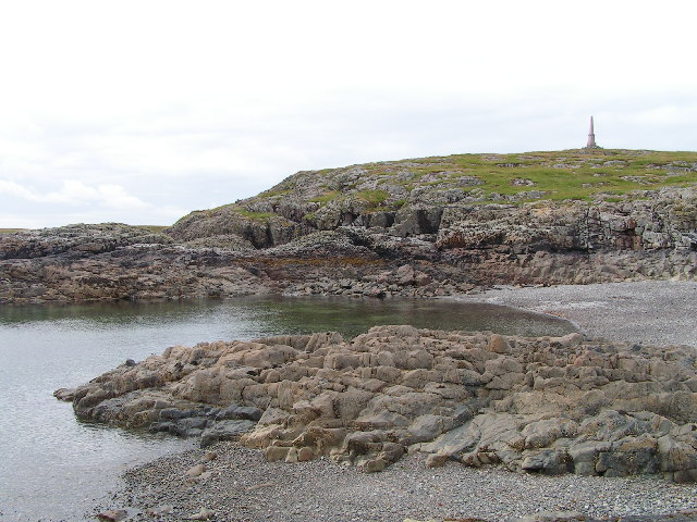
Carraig nan Ddmh is a prominent headland located in Argyllshire, Scotland. Situated on the west coast of the country, this coastal feature offers breathtaking views of the surrounding landscape and the nearby sea. The name "Carraig nan Ddmh" translates to "Rock of the Stags" in English, which is fitting considering the area's abundance of wildlife.

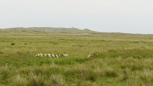
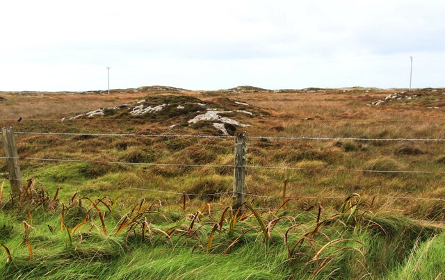
Covered in lush green vegetation, Carraig nan Ddmh stands tall and rugged, jutting out into the sea. Its cliffs, composed of ancient igneous rock formations, add to its dramatic appearance. The headland is characterized by steep slopes and jagged edges, with several smaller rocky outcrops scattered along its length.

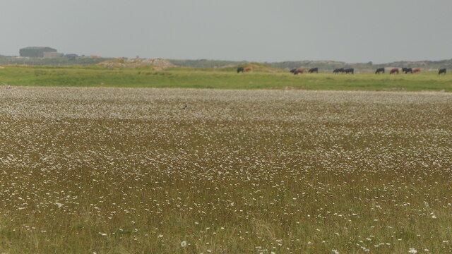
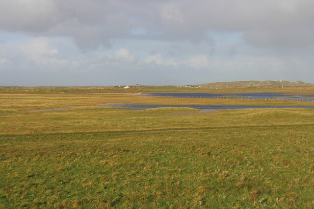
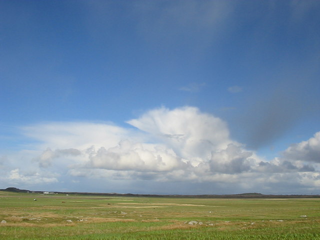
The headland's location on the coast makes it an excellent spot for nature enthusiasts and photographers. From its vantage point, visitors can observe a variety of marine wildlife, including seals, dolphins, and seabirds that inhabit the surrounding waters. The headland also offers panoramic vistas of the vast expanse of the ocean, with the distant islands of the Inner Hebrides visible on clear days.

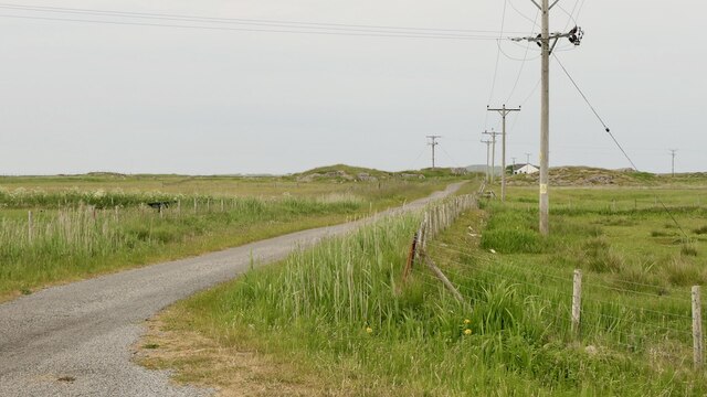
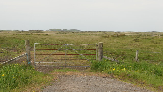
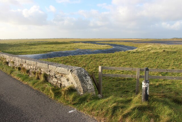
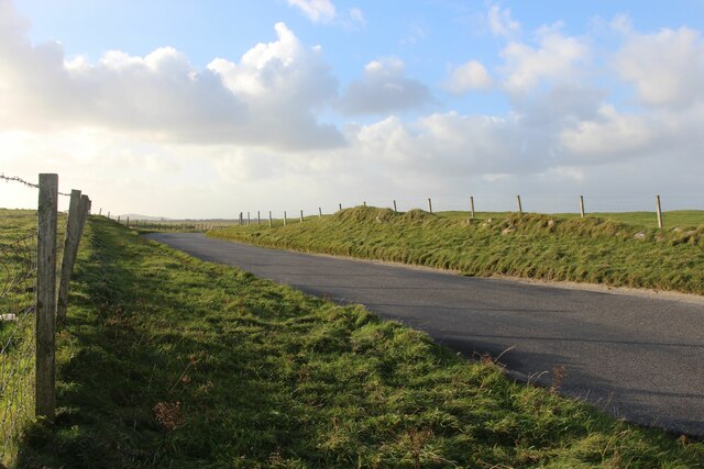
Carraig nan Ddmh is easily accessible, with a well-maintained footpath leading to its summit. Hikers and nature lovers can explore the headland's diverse flora and fauna, as well as enjoy the fresh sea breeze. The area is also rich in historical and cultural significance, with remnants of ancient settlements and archaeological sites scattered along its coastline.

Overall, Carraig nan Ddmh is a captivating coastal feature in Argyllshire, offering visitors a unique blend of natural beauty, wildlife, and historical intrigue. Its picturesque landscapes and serene ambiance make it a must-visit destination for those seeking a true Scottish coastal experience.

If you have any feedback on the listing, please let us know in the comments section below.

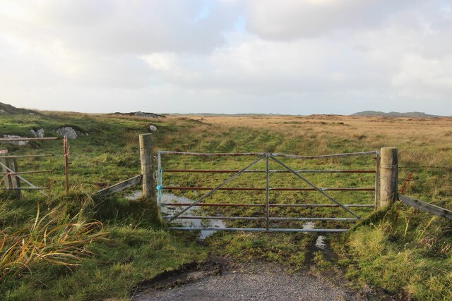
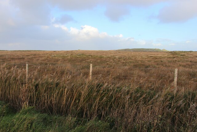
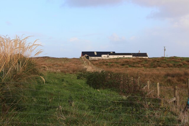
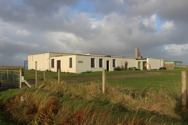
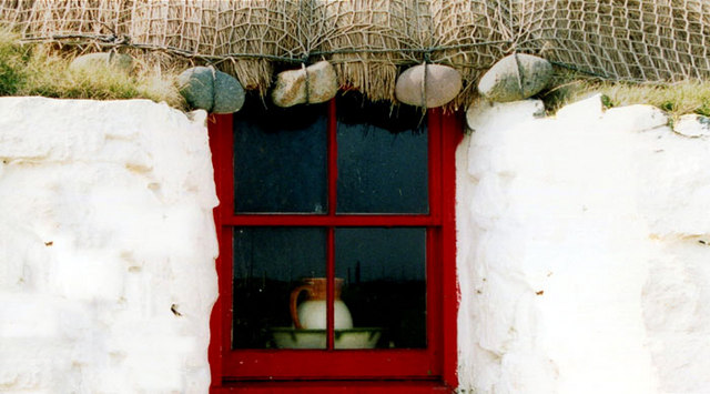
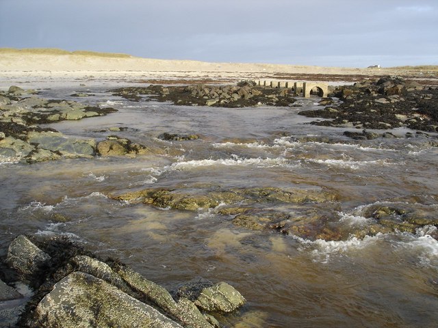
Carraig nan Ddmh Images

Images are sourced within 2km of 56.490048/-6.8339811 or Grid Reference NM0243. Thanks to Geograph Open Source API. All images are credited.

Machair, Tiree Full of waders and their chicks.  A vast flat area behind Tràigh Bhàgh.
Machair, Tiree
Full of waders and their chicks. A vast flat area behind Tràigh Bhàgh.
Rough grazing, Tiree
Road to Ardachaidh A dead end road into the interior of Tiree.
Road to Ardachaidh
A dead end road into the interior of Tiree.
Road end Beyond, rough grazing and cattle.
Road end
Beyond, rough grazing and cattle.
Rock outcrops on moor behind Scarinish
An Fhaodhail, a tidal inlet
B8065 road at Baugh
B8065 road at Baugh
Gateway to the moor at Orisgal
Moor at Cnoc Ibrig
Moor at Cnoc Ibrig
East Baugh
East Baugh
Pottery at Baugh
Pottery at Baugh
Monument & Beach
Monument & Beach
Big sky over the Reef
Typical Architecture on Tiree When the thatch roofs on the island become uneconomical to replace or maintain the roofs are replaced with the black pitch seen in photograph
Typical Architecture on Tiree
When the thatch roofs on the island become uneconomical to replace or maintain the roofs are replaced with the black pitch seen in photograph
The old and the new A perfect example of how things once were
The old and the new
A perfect example of how things once were
Thatch Detail of one of the many thatched roofs on the island
Thatch
Detail of one of the many thatched roofs on the island
An Fhaodhail as it reaches the sea An Fhaodhail is a rather curious long thin loch/river, which has been piped under the road and through the dunes.  The concrete structures in the background are part of this scheme.
An Fhaodhail as it reaches the sea
An Fhaodhail is a rather curious long thin loch/river, which has been piped under the road and through the dunes. The concrete structures in the background are part of this scheme.
Show me another place!

Carraig nan Ddmh is located at Grid Ref: NM0243 (Lat: 56.490048, Lng: -6.8339811)

Unitary Authority: Argyll and Bute

Police Authority: Argyll and West Dunbartonshire

What 3 Words

///deflection.agency.detect. Near Scarinish, Argyll & Bute

Related Wikis

Scarinish

Scarinish (Scottish Gaelic: Sgairinis [ˈs̪kaɾʲɪnɪʃ]) is the main village on the island of Tiree, in the Inner Hebrides of Scotland. It is located on the...

Tiree Airport

Tiree Airport (Scottish Gaelic: Port-adhair Thiriodh) (IATA: TRE, ICAO: EGPU) is located 2.5 nautical miles (4.6 km; 2.9 mi) north northeast of Balemartine...

Tiree

Tiree (; Scottish Gaelic: Tiriodh, pronounced [ˈtʲʰiɾʲəɣ]) is the most westerly island in the Inner Hebrides of Scotland. The low-lying island, southwest...

Tiree Music Festival

Tiree Music Festival is a Scottish folk music festival held annually on the Island of Tiree in the Inner Hebrides. The festival was founded in 2010 by...

Nearby Amenities

Located within 500m of 56.490048,-6.8339811
Buchanan Monument
Historic: monument
Source: OS_OpenData_StreetView
Lat/Long: 56.4916852/-6.8392772
Telephone
Booth: K6
Covered: booth
Phone: +44 1879 220333
Lat/Long: 56.4916948/-6.8348241
Post Box
Collection Times: Mo-Sa 08:45
Operator: Royal Mail
Post Box Type: lamp
Ref: PA77 103
Royal Cypher: scottish_crown
Lat/Long: 56.491721/-6.834919
Passing Place
Lat/Long: 56.4917482/-6.8313426
Power: pole
Lat/Long: 56.492952/-6.8311056
Baugh
Name Gd: Am Bàgh
Place: hamlet
Lat/Long: 56.4918987/-6.8345284
Power: pole
Lat/Long: 56.4916238/-6.8359941
Power: pole
Lat/Long: 56.491414/-6.8352402
Power: pole
Transformer: distribution
Lat/Long: 56.4914898/-6.8345518
Power: pole
Lat/Long: 56.4918955/-6.8345962
Power: pole
Lat/Long: 56.4926578/-6.8346659
Power: pole
Lat/Long: 56.4933911/-6.8346595
Power: pole
Lat/Long: 56.493548/-6.8346417
Power: pole
Lat/Long: 56.4933633/-6.8335461
Power: pole
Lat/Long: 56.4937385/-6.8356735
Power: pole
Lat/Long: 56.4939497/-6.8368178
Power: pole
Lat/Long: 56.4931621/-6.832352
Power: pole
Lat/Long: 56.4931428/-6.8298428
Power: pole
Lat/Long: 56.4933229/-6.828472
Power: pole
Lat/Long: 56.492694/-6.8298069
Power: pole
Lat/Long: 56.4922533/-6.8297668
Power: pole
Lat/Long: 56.4917276/-6.8295366
Power: pole
Lat/Long: 56.4917124/-6.8289496
Port a' Mhuilinn
Natural: bay
Lat/Long: 56.4910967/-6.8323432
Passing Place
Lat/Long: 56.4917844/-6.8329497
Passing Place
Lat/Long: 56.4919614/-6.8289872
The data included in this document is from www.openstreetmap.org. The data is made available under ODbL.

Have you been to Carraig nan Ddmh?

Leave your review of Carraig nan Ddmh below (or comments, questions and feedback).