Bogha Chro'-fhir
Coastal Feature, Headland, Point in Argyllshire
Scotland
Bogha Chro'-fhir
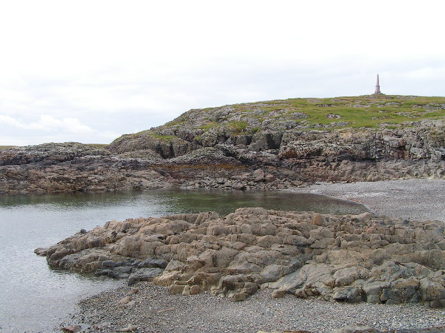
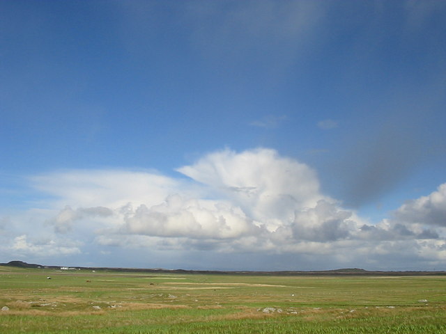
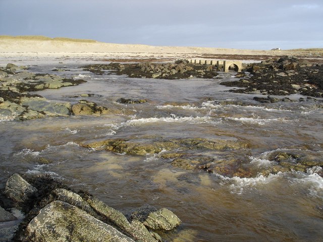
Bogha Chro'-fhir is a prominent coastal feature located in Argyllshire, Scotland. It is a headland that extends into the Atlantic Ocean, forming a distinct point along the rugged coastline. The name "Bogha Chro'-fhir" translates to "the bow of the brave man" in Gaelic, reflecting the area's rich cultural heritage.
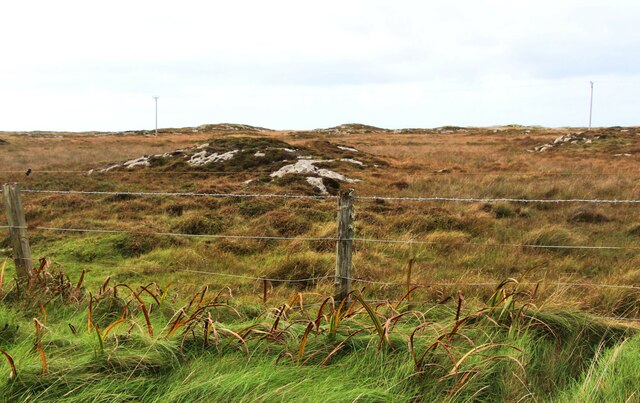
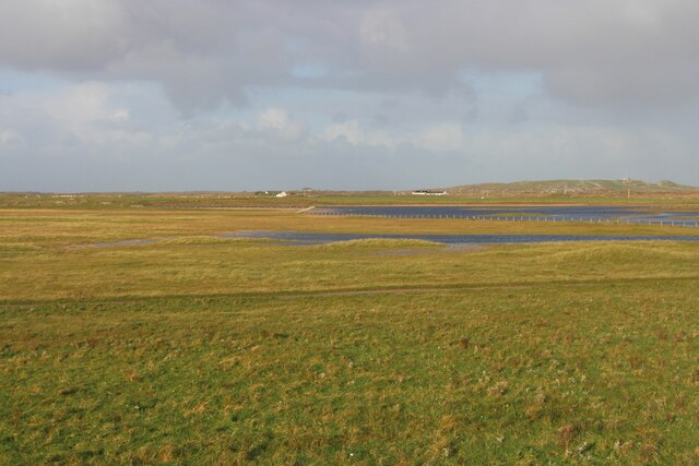
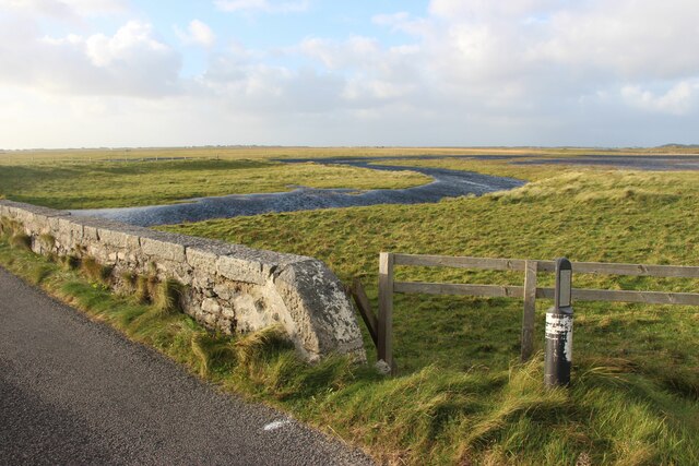
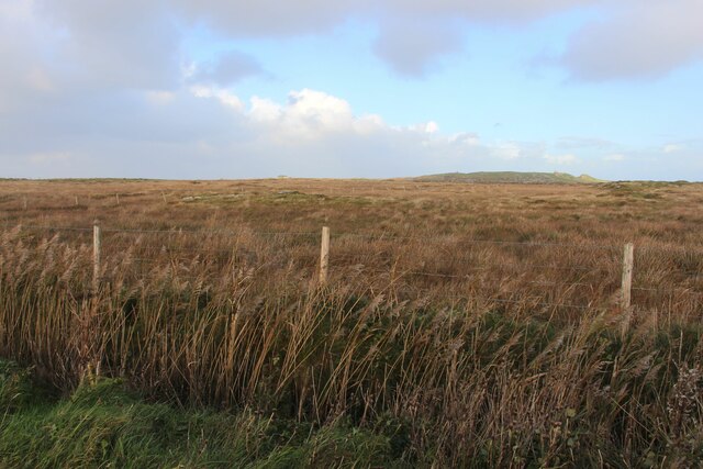
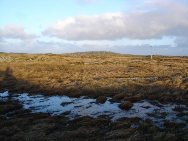
This headland is characterized by its dramatic cliffs and rocky outcrops, which offer breathtaking views of the surrounding landscape. The cliffs rise steeply from the sea, providing a stunning backdrop against the crashing waves below. The point is often exposed to strong winds and powerful ocean swells, making it a popular spot for outdoor enthusiasts and nature lovers seeking an adrenaline rush.
The area surrounding Bogha Chro'-fhir is teeming with diverse marine life, making it a prime destination for birdwatching and wildlife spotting. Seabirds such as gannets, puffins, and razorbills can be spotted nesting along the cliffs, while seals and dolphins are often seen swimming in the surrounding waters.
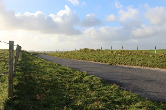
Visitors to Bogha Chro'-fhir can explore the headland by following the coastal path that winds its way along the edge of the cliffs. This allows for breathtaking views of the Atlantic Ocean and the surrounding rugged coastline, offering ample opportunities for photography and appreciation of the natural beauty of the area.
Overall, Bogha Chro'-fhir is a captivating coastal feature in Argyllshire, offering a unique blend of dramatic cliffs, diverse wildlife, and stunning views. It is a must-visit for anyone seeking an immersive experience in Scotland's wild and untamed natural landscape.
If you have any feedback on the listing, please let us know in the comments section below.
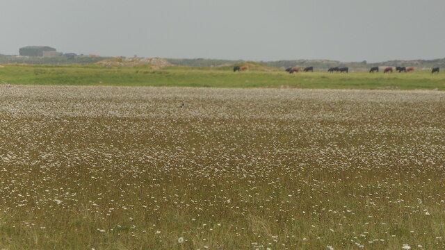
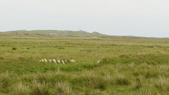
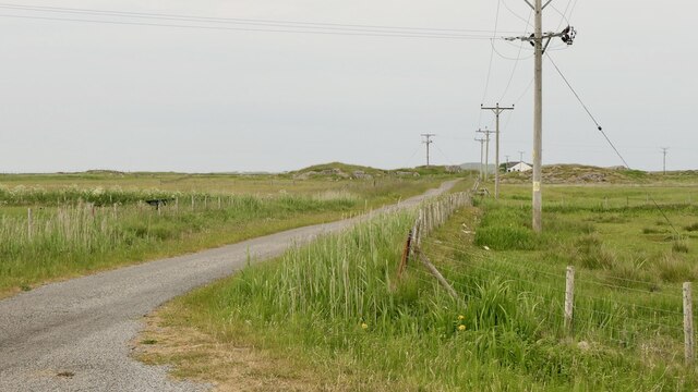
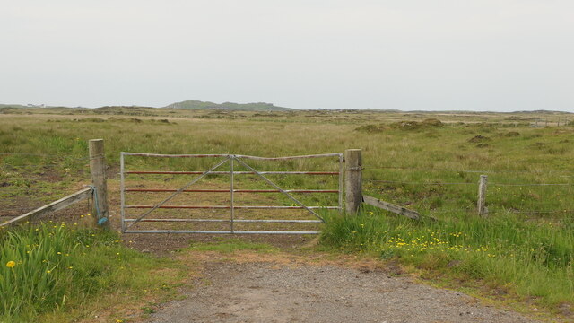
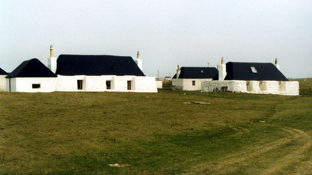
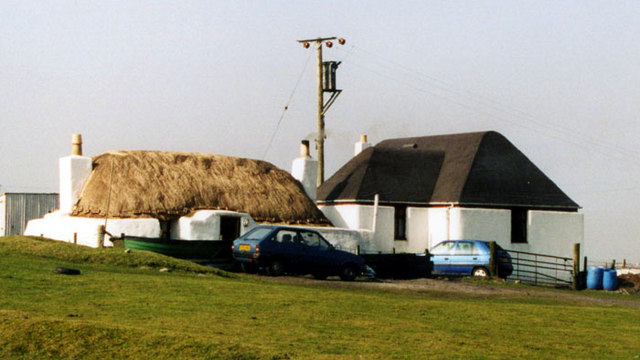
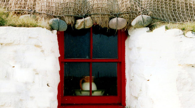
Bogha Chro'-fhir Images
Images are sourced within 2km of 56.488668/-6.833854 or Grid Reference NM0243. Thanks to Geograph Open Source API. All images are credited.
Bogha Chro'-fhir is located at Grid Ref: NM0243 (Lat: 56.488668, Lng: -6.833854)
Unitary Authority: Argyll and Bute
Police Authority: Argyll and West Dunbartonshire
What 3 Words
///flooding.forkful.weds. Near Scarinish, Argyll & Bute
Nearby Locations
Related Wikis

Scarinish
Scarinish (Scottish Gaelic: Sgairinis [ˈs̪kaɾʲɪnɪʃ]) is the main village on the island of Tiree, in the Inner Hebrides of Scotland. It is located on the...

Tiree Airport
Tiree Airport (Scottish Gaelic: Port-adhair Thiriodh) (IATA: TRE, ICAO: EGPU) is located 2.5 nautical miles (4.6 km; 2.9 mi) north northeast of Balemartine...

Tiree Music Festival
Tiree Music Festival is a Scottish folk music festival held annually on the Island of Tiree in the Inner Hebrides. The festival was founded in 2010 by...

Tiree
Tiree (; Scottish Gaelic: Tiriodh, pronounced [ˈtʲʰiɾʲəɣ]) is the most westerly island in the Inner Hebrides of Scotland. The low-lying island, southwest...

Mannal
Mannal is a coastal hamlet on the west side of Hynish Bay, on the island of Tiree, Scotland. The township of Mannal lies on the southwest corner of Tiree...

Dun Mor Vaul
Dun Mor Vaul (or simply Dun Mor; Scottish Gaelic: Dùn Mòr) is an iron-age broch located on the north coast of the island of Tiree, in Scotland. ��2�...
Nearby Amenities
Located within 500m of 56.488668,-6.833854Have you been to Bogha Chro'-fhir?
Leave your review of Bogha Chro'-fhir below (or comments, questions and feedback).