Sgeir Ghille-challum
Island in Argyllshire
Scotland
Sgeir Ghille-challum
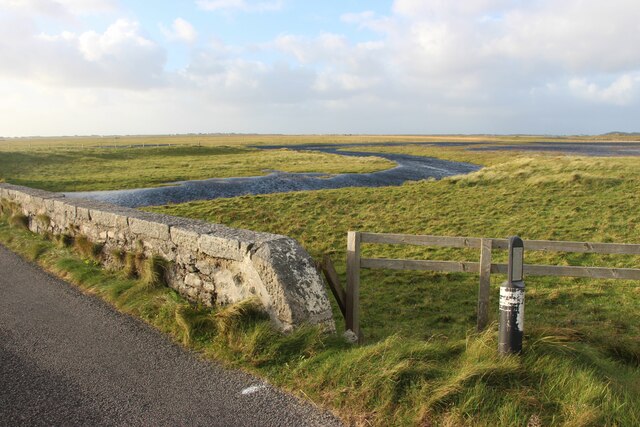
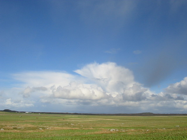
Sgeir Ghille-challum is a small uninhabited island located off the west coast of Scotland in Argyllshire. Also known as Gille Chaluim or Gillachallum, this rocky islet is situated in the Sound of Luing, between the mainland and the Isle of Luing.
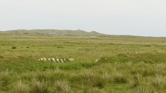
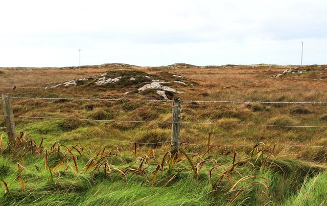
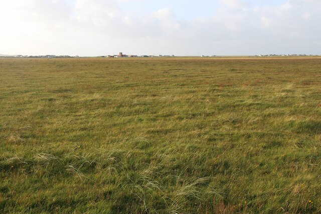
Covering an area of approximately 0.2 hectares, Sgeir Ghille-challum is characterized by its rugged and rocky terrain, typical of the Inner Hebrides region. The island's name is derived from Gaelic, with "Sgeir" meaning "rock" and "Ghille-challum" referring to a male servant or follower of Saint Columba, the Irish missionary who is said to have brought Christianity to Scotland.
Although small, this island holds historical significance due to the presence of a ruined chapel dedicated to Saint Columba. The chapel is believed to have been built in the 6th or 7th century and was likely used as a place of worship for the local community. Today, only the foundation walls remain, providing a glimpse into the island's past.
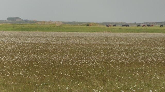
Sgeir Ghille-challum is also notable for its diverse birdlife. The surrounding waters and rocky outcrops serve as nesting sites for various seabirds, including black guillemots, razorbills, and cormorants. The island's isolation and lack of human disturbance make it an ideal sanctuary for these species.
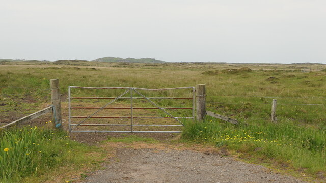
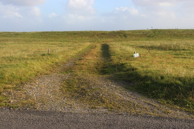
Accessible via boat or kayak, Sgeir Ghille-challum offers visitors a unique opportunity to explore an uninhabited island with a rich historical and natural heritage. It is an ideal destination for birdwatching enthusiasts, history buffs, or those seeking a tranquil escape in the rugged beauty of the Scottish coast.
If you have any feedback on the listing, please let us know in the comments section below.
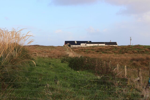
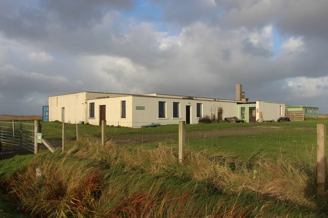
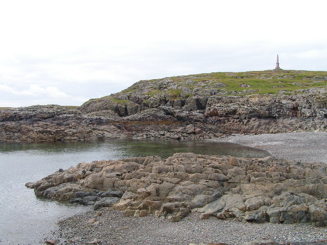
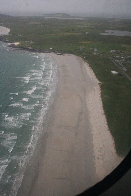
Sgeir Ghille-challum Images
Images are sourced within 2km of 56.490142/-6.8417177 or Grid Reference NM0243. Thanks to Geograph Open Source API. All images are credited.
Sgeir Ghille-challum is located at Grid Ref: NM0243 (Lat: 56.490142, Lng: -6.8417177)
Unitary Authority: Argyll and Bute
Police Authority: Argyll and West Dunbartonshire
What 3 Words
///anchors.shame.paramedic. Near Scarinish, Argyll & Bute
Nearby Locations
Related Wikis

Tiree Airport
Tiree Airport (Scottish Gaelic: Port-adhair Thiriodh) (IATA: TRE, ICAO: EGPU) is located 2.5 nautical miles (4.6 km; 2.9 mi) north northeast of Balemartine...

Scarinish
Scarinish (Scottish Gaelic: Sgairinis [ˈs̪kaɾʲɪnɪʃ]) is the main village on the island of Tiree, in the Inner Hebrides of Scotland. It is located on the...

Tiree Music Festival
Tiree Music Festival is a Scottish folk music festival held annually on the Island of Tiree in the Inner Hebrides. The festival was founded in 2010 by...

Tiree
Tiree (; Scottish Gaelic: Tiriodh, pronounced [ˈtʲʰiɾʲəɣ]) is the most westerly island in the Inner Hebrides of Scotland. The low-lying island, southwest...

Mannal
Mannal is a coastal hamlet on the west side of Hynish Bay, on the island of Tiree, Scotland. The township of Mannal lies on the southwest corner of Tiree...

Dun Mor Vaul
Dun Mor Vaul (or simply Dun Mor; Scottish Gaelic: Dùn Mòr) is an iron-age broch located on the north coast of the island of Tiree, in Scotland. ��2�...
Nearby Amenities
Located within 500m of 56.490142,-6.8417177Have you been to Sgeir Ghille-challum?
Leave your review of Sgeir Ghille-challum below (or comments, questions and feedback).