An Dusprig
Coastal Feature, Headland, Point in Argyllshire
Scotland
An Dusprig
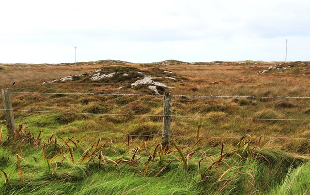
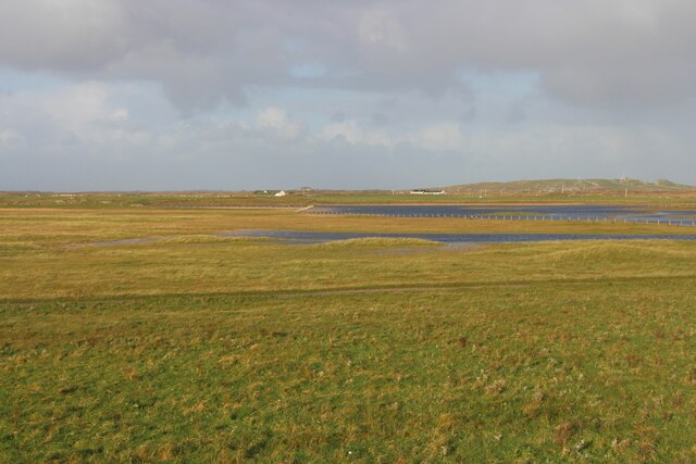
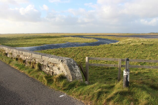
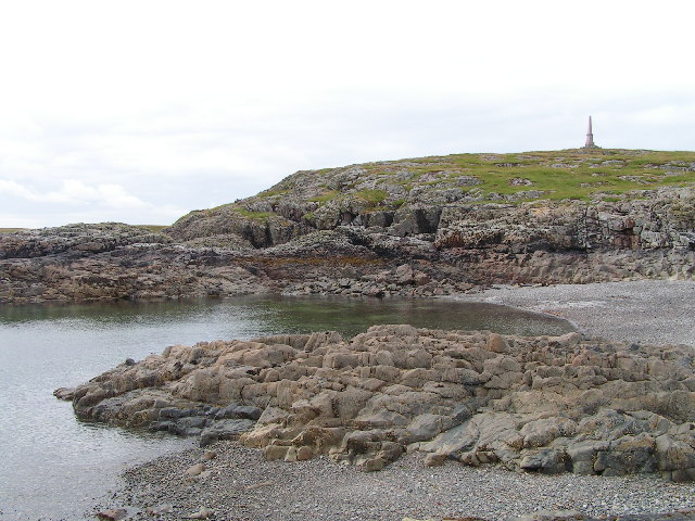
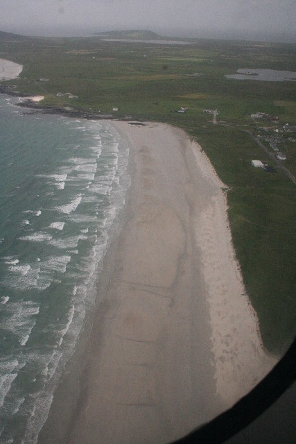
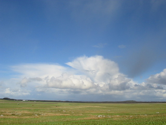
An Dusprig is a coastal headland located in Argyllshire, Scotland. Situated on the western coast of the country, it is renowned for its stunning natural beauty and captivating views of the surrounding area.
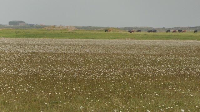
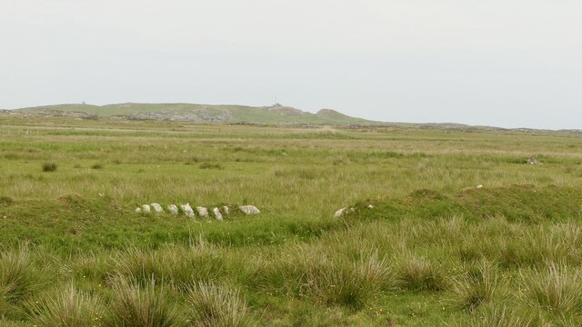
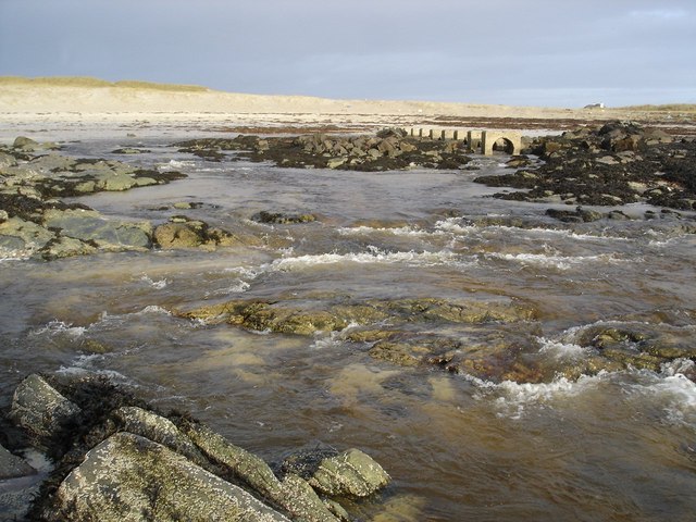
The headland is characterized by its rocky cliffs, which rise dramatically from the crashing waves of the Atlantic Ocean. These cliffs are composed of rugged, weathered rocks and are dotted with patches of vibrant green vegetation, adding to the picturesque landscape.
An Dusprig boasts a diverse range of flora and fauna, making it a haven for wildlife enthusiasts. Visitors can often spot various species of seabirds, such as gannets and puffins, nesting along the cliffs. The surrounding waters are home to seals, dolphins, and even occasional sightings of whales, providing an exciting opportunity for marine life enthusiasts.
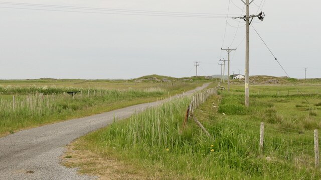
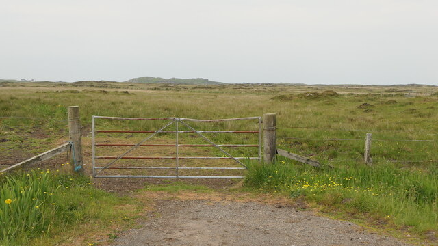
The headland offers several walking trails that allow visitors to explore its natural wonders and take in the breathtaking views. These trails wind along the cliffs, offering panoramic vistas of the turquoise waters below and the distant mountain ranges in the horizon.
At the tip of An Dusprig, there is a small lookout point that offers an uninterrupted view of the vast ocean. This vantage point is a popular spot for photographers, who come to capture the dramatic coastal scenery and the interplay of light and shadow.
In summary, An Dusprig is a remarkable headland in Argyllshire, Scotland, known for its rugged cliffs, diverse wildlife, and awe-inspiring views. It is a must-visit destination for nature lovers and those seeking tranquility amidst breathtaking coastal landscapes.
If you have any feedback on the listing, please let us know in the comments section below.
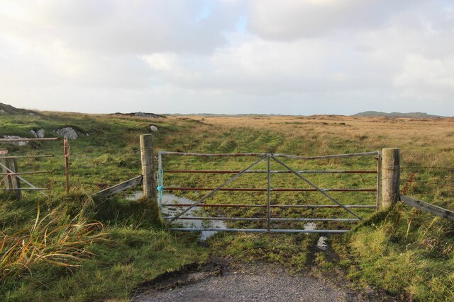
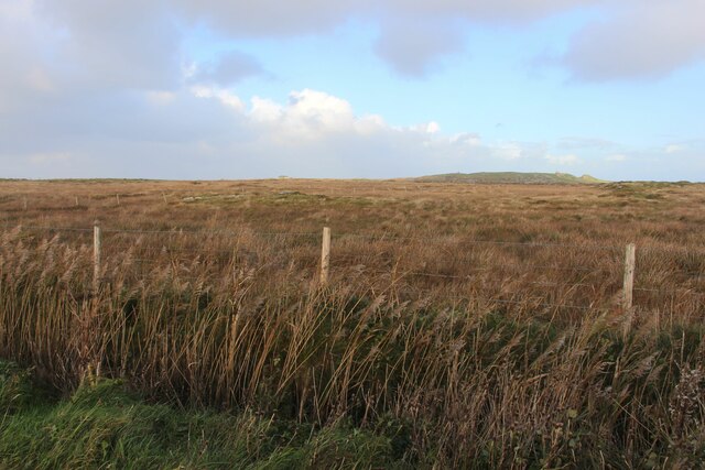
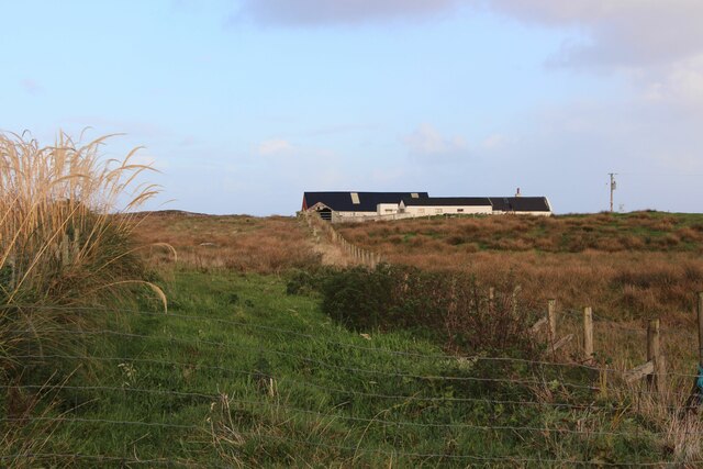
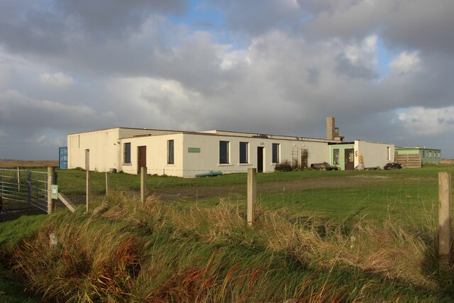
An Dusprig Images
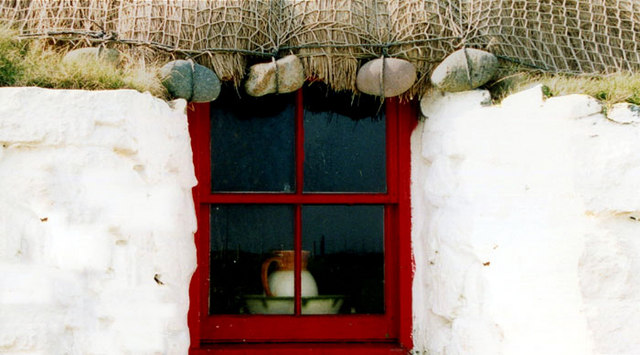
Images are sourced within 2km of 56.489449/-6.8371246 or Grid Reference NM0243. Thanks to Geograph Open Source API. All images are credited.
An Dusprig is located at Grid Ref: NM0243 (Lat: 56.489449, Lng: -6.8371246)
Unitary Authority: Argyll and Bute
Police Authority: Argyll and West Dunbartonshire
What 3 Words
///maximum.treatable.montage. Near Scarinish, Argyll & Bute
Nearby Locations
Related Wikis

Tiree Airport
Tiree Airport (Scottish Gaelic: Port-adhair Thiriodh) (IATA: TRE, ICAO: EGPU) is located 2.5 nautical miles (4.6 km; 2.9 mi) north northeast of Balemartine...

Scarinish
Scarinish (Scottish Gaelic: Sgairinis [ˈs̪kaɾʲɪnɪʃ]) is the main village on the island of Tiree, in the Inner Hebrides of Scotland. It is located on the...

Tiree Music Festival
Tiree Music Festival is a Scottish folk music festival held annually on the Island of Tiree in the Inner Hebrides. The festival was founded in 2010 by...

Tiree
Tiree (; Scottish Gaelic: Tiriodh, pronounced [ˈtʲʰiɾʲəɣ]) is the most westerly island in the Inner Hebrides of Scotland. The low-lying island, southwest...
Nearby Amenities
Located within 500m of 56.489449,-6.8371246Have you been to An Dusprig?
Leave your review of An Dusprig below (or comments, questions and feedback).