Sgeir nan Sgarbh

Island in Inverness-shire

Scotland

Sgeir nan Sgarbh

Isle of Harris Golf Club Looking south-west over the course with Scarista beach beyond.
Isle of Harris Golf Club Credit: Richard Dorrell

Sgeir nan Sgarbh is a small uninhabited island located off the west coast of Inverness-shire in Scotland. Situated in the Inner Hebrides archipelago, this rocky isle is known for its rugged beauty and abundant wildlife.

Covering an area of approximately 0.6 hectares, Sgeir nan Sgarbh is characterized by its rocky terrain, with steep cliffs and sea stacks rising from the surrounding waters. The island's name, which translates to "skerry of the cormorants," reflects the presence of numerous seabirds that inhabit the area. These include Atlantic puffins, guillemots, razorbills, and, of course, cormorants.

The island's remote location and limited human activity have allowed the wildlife to thrive undisturbed. Visitors to Sgeir nan Sgarbh can witness an array of marine life, such as seals, porpoises, and occasionally dolphins, in the waters surrounding the island.

Due to its small size and lack of facilities, Sgeir nan Sgarbh is not accessible to tourists. However, it can be admired from afar during boat trips or from viewpoints along the coastline. Its striking cliffs and unique geological features make it a popular spot for photography enthusiasts and nature lovers.

Sgeir nan Sgarbh serves as an important nesting site for seabirds, contributing to the rich biodiversity of the region. The island's isolation and untouched environment make it a valuable habitat for a variety of species, highlighting the need for its preservation and protection.

If you have any feedback on the listing, please let us know in the comments section below.

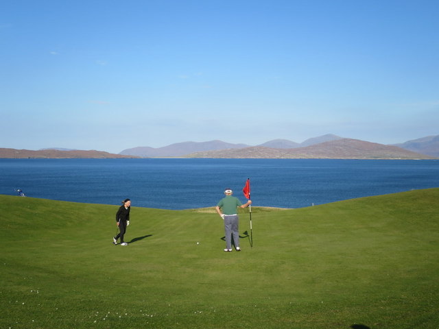
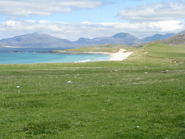
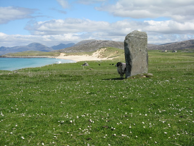
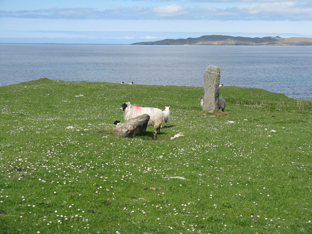
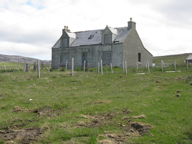
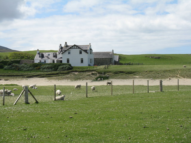
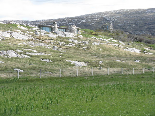
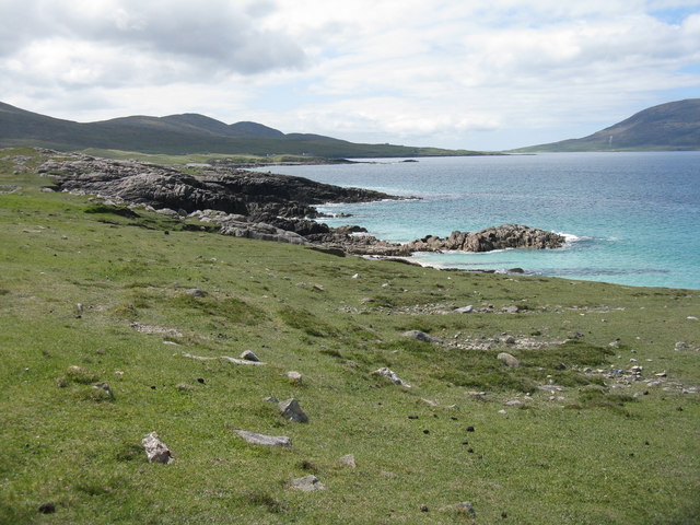
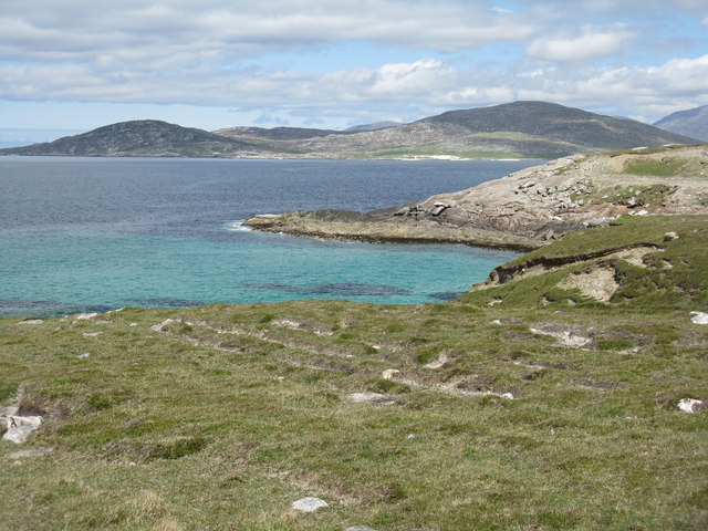
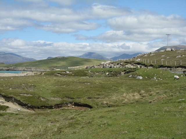
Sgeir nan Sgarbh Images

Images are sourced within 2km of 57.844463/-7.0168979 or Grid Reference NG0294. Thanks to Geograph Open Source API. All images are credited.
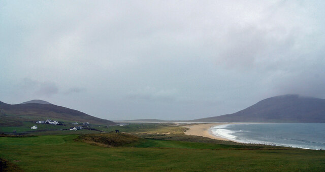
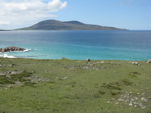
Isle of Harris Golf Club Looking south-west over the course with Scarista beach beyond.
Isle of Harris Golf Club
Looking south-west over the course with Scarista beach beyond.
Groundworks for a New House at Scarasta
Borvemore in 1981
Borvemore in 1981
Holiday homes and a cafe Geocaching is a type of global treasure hunt of people looking for caches, or hidden stashes of objects. Geocaching may also be described as a series of hide-and-seek games, where hiders provide online clues for seekers. Seekers use global positioning system (GPS) devices to find hidden caches
Holiday homes and a cafe
Geocaching is a type of global treasure hunt of people looking for caches, or hidden stashes of objects. Geocaching may also be described as a series of hide-and-seek games, where hiders provide online clues for seekers. Seekers use global positioning system (GPS) devices to find hidden caches
Borve Dun from the South The summit cairn of Borve Dun with the township of Borve in the middle distance and Taransay beyond
Borve Dun from the South
The summit cairn of Borve Dun with the township of Borve in the middle distance and Taransay beyond
Golfing on Harris Whatever next? The waltz?
Golfing on Harris
Whatever next? The waltz?
A view from Scarasta Looking north east to Taransay and Luskentyre.
A view from Scarasta
Looking north east to Taransay and Luskentyre.
Remains of stone circle at Sgarista/Sgarasta Looking northeast to Tràigh Scarasta and the hills of Harris beyond <a href="https://www.geograph.org.uk/photo/4992918">NG0293 : Clach Steineagaidh Standing Stone</a>.
Remains of stone circle at Sgarista/Sgarasta
Looking northeast to Tràigh Scarasta and the hills of Harris beyond NG0293 : Clach Steineagaidh Standing Stone.
Standing stone at Scarasta Looking northwards across the Sound of Taransay to Taransay <a href="https://www.geograph.org.uk/photo/4992918">NG0293 : Clach Steineagaidh Standing Stone</a>.
Standing stone at Scarasta
Looking northwards across the Sound of Taransay to Taransay NG0293 : Clach Steineagaidh Standing Stone.
Clach Steineagaidh Standing Stone Information about the stone <a href="https://www.geograph.org.uk/photo/4992884">NG0293 : Remains of stone circle at Sgarista/Sgarasta</a>, which is part of what was once a much larger complex, with an impression of what the site might have looked like about 5000 BP, in the Neolithic or early Bronze Age.
Clach Steineagaidh Standing Stone
Information about the stone NG0293 : Remains of stone circle at Sgarista/Sgarasta, which is part of what was once a much larger complex, with an impression of what the site might have looked like about 5000 BP, in the Neolithic or early Bronze Age.
Empty house at Sgarasta A frequent sight on the islands.
Empty house at Sgarasta
A frequent sight on the islands.
Rubha Romaigidh A small headland south of Tràigh Iar. Toe Head/Gob an Tobhar and Ceapabhal are in the distance [8km].
Rubha Romaigidh
A small headland south of Tràigh Iar. Toe Head/Gob an Tobhar and Ceapabhal are in the distance [8km].
Borve Lodge Part of the Borve Estate. Looking over the outflow burn from Loch Bhuirgh.
Borve Lodge
Part of the Borve Estate. Looking over the outflow burn from Loch Bhuirgh.
Modern 'stone age' houses at Borve Two interesting houses that fit in well with the natural landscape.
Modern 'stone age' houses at Borve
Two interesting houses that fit in well with the natural landscape.
Harris coast near Na Buirgh Looking southwest towards Sgarasta.
Harris coast near Na Buirgh
Looking southwest towards Sgarasta.
The Sound of Taransay/Caolas Tharasaigh Looking southwest to Ceapabhal.
The Sound of Taransay/Caolas Tharasaigh
Looking southwest to Ceapabhal.
Looking across to Taransay/Tarasaigh From the road to Leverburgh from Seilebost.
Looking across to Taransay/Tarasaigh
From the road to Leverburgh from Seilebost.
Coast road by Geòdha Martainn A view from near a lay-by on the A859.
Coast road by Geòdha Martainn
A view from near a lay-by on the A859.
Show me another place!

Sgeir nan Sgarbh is located at Grid Ref: NG0294 (Lat: 57.844463, Lng: -7.0168979)

Unitary Authority: Na h-Eileanan an Iar

Police Authority: Highlands and Islands

What 3 Words

///skill.thud.marble. Near Leverburgh, Na h-Eileanan Siar

Related Wikis

Borve, Harris

Borve (Scottish Gaelic: Na Buirgh) is a village in Harris in the Outer Hebrides, Scotland. Borve is also within the parish of Harris, and is on the A859...

1990 Scotland RAF Shackleton crash

On 30 April 1990, a Royal Air Force Avro Shackleton AEW Mk II aircraft, of No. 8 Squadron RAF, based at RAF Lossiemouth, crashed into a hill on the Isle...

Luskentyre

Luskentyre (Scottish Gaelic: Losgaintir) is a sparse settlement on the west coast of Harris, in the Outer Hebrides, Scotland. Luskentyre is situated within...

Taransay

Taransay (Scottish Gaelic: Tarasaigh, pronounced [ˈt̪ʰaɾas̪aj]) is an island in the Outer Hebrides of Scotland. It was the host of the British television...

Leverburgh

Leverburgh (Scottish Gaelic: An t-Òb [ən̪ˠ ˈt̪ɔːp]) is the second largest village, after Tarbert, in Harris in the Outer Hebrides of Scotland. Leverburgh...

Roineabhal

Roineabhal is a hill in Harris, in the Western Isles of Scotland. The granite on the summit plateau of the mountain is anorthosite, and is similar in composition...

Outer Hebrides

The Outer Hebrides ( HEB-rid-eez) or Western Isles (Scottish Gaelic: na h-Eileanan Siar [nə ˈhelanən ˈʃiəɾ] , na h-Eileanan an Iar [nə ˈhelanən əɲ ˈiəɾ...

Ensay (Outer Hebrides)

Ensay (Gaelic Easaigh) is a currently unpopulated and privately owned island in the Outer Hebrides of Scotland. The island lies in the Sound of Harris...

Have you been to Sgeir nan Sgarbh?

Leave your review of Sgeir nan Sgarbh below (or comments, questions and feedback).