Rubha Sgeir nan Sgarbh
Coastal Feature, Headland, Point in Inverness-shire
Scotland
Rubha Sgeir nan Sgarbh

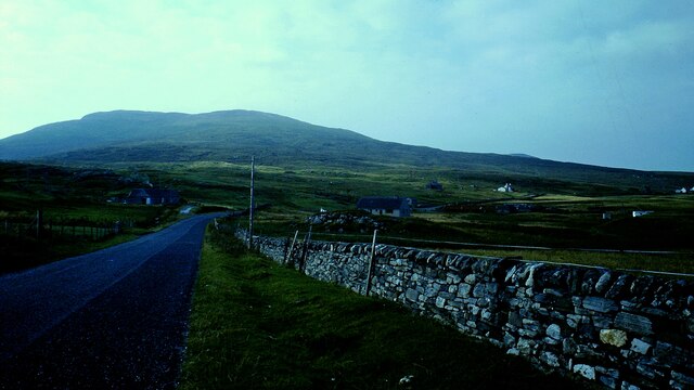
Rubha Sgeir nan Sgarbh is a prominent coastal feature located in Inverness-shire, a county in the Scottish Highlands. This headland, also known as the Point of the Cormorants, is situated on the western coast of Scotland, overlooking the Atlantic Ocean.
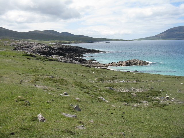
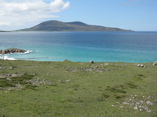
The name Rubha Sgeir nan Sgarbh translates to "Point of the Cormorants" in English, indicating the abundance of cormorants that inhabit the area. This coastal headland is characterized by its rugged terrain, consisting of cliffs and rocky outcrops. The jagged landscape provides a dramatic backdrop against the crashing waves of the Atlantic, creating a picturesque and wild natural setting.
Rubha Sgeir nan Sgarbh is a popular destination for nature enthusiasts and birdwatchers due to its rich biodiversity. Besides cormorants, the headland is home to a variety of seabirds, including fulmars, guillemots, and razorbills. The coastal waters around the headland also support a diverse marine ecosystem, attracting seals and occasionally dolphins and whales.
Visitors to Rubha Sgeir nan Sgarbh can enjoy breathtaking views of the surrounding coastline and the distant mountains of the Scottish Highlands. The headland offers numerous hiking trails, allowing exploration of the rugged terrain and the opportunity to observe the abundant wildlife. Photographers are particularly drawn to this location, capturing the dramatic landscapes and the birds in flight.
Overall, Rubha Sgeir nan Sgarbh is a captivating coastal feature in Inverness-shire, attracting visitors with its stunning natural beauty, diverse wildlife, and opportunities for outdoor activities.
If you have any feedback on the listing, please let us know in the comments section below.
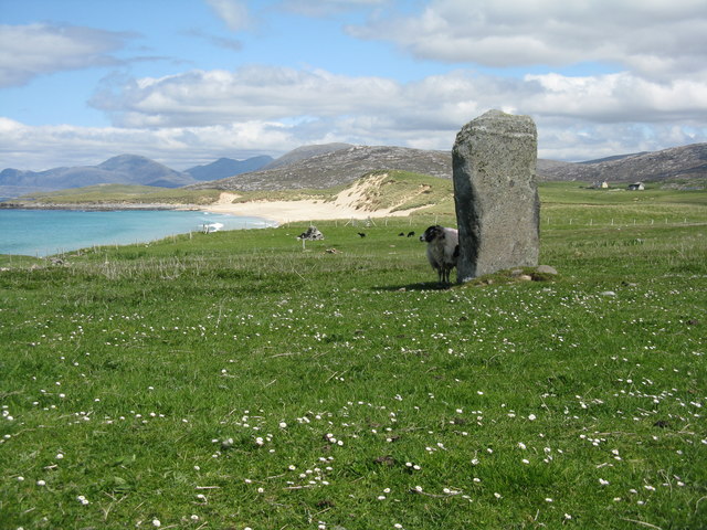
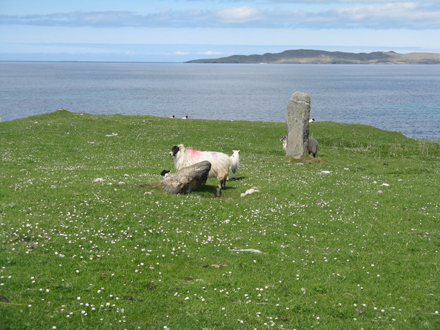
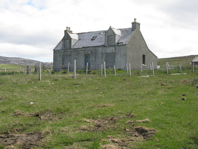
Rubha Sgeir nan Sgarbh Images
Images are sourced within 2km of 57.843565/-7.0132463 or Grid Reference NG0294. Thanks to Geograph Open Source API. All images are credited.
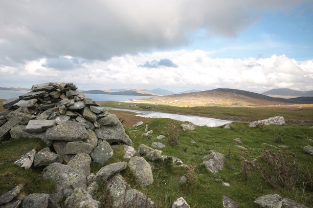
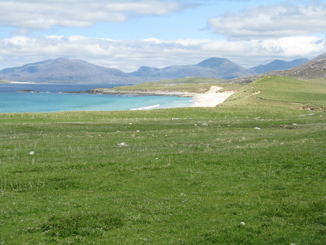

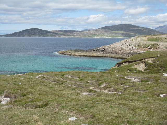
![Rubha Romaigidh A small headland south of Tràigh Iar. Toe Head/Gob an Tobhar and Ceapabhal are in the distance [8km].](https://s1.geograph.org.uk/geophotos/05/01/21/5012181_8f39f6dd.jpg)
Rubha Sgeir nan Sgarbh is located at Grid Ref: NG0294 (Lat: 57.843565, Lng: -7.0132463)
Unitary Authority: Na h-Eileanan an Iar
Police Authority: Highlands and Islands
What 3 Words
///ambient.earlobes.tripling. Near Leverburgh, Na h-Eileanan Siar
Nearby Locations
Related Wikis

Borve, Harris
Borve (Scottish Gaelic: Na Buirgh) is a village in Harris in the Outer Hebrides, Scotland. Borve is also within the parish of Harris, and is on the A859...

1990 Scotland RAF Shackleton crash
On 30 April 1990, a Royal Air Force Avro Shackleton AEW Mk II aircraft, of No. 8 Squadron RAF, based at RAF Lossiemouth, crashed into a hill on the Isle...

Luskentyre
Luskentyre (Scottish Gaelic: Losgaintir) is a sparse settlement on the west coast of Harris, in the Outer Hebrides, Scotland. Luskentyre is situated within...

Taransay
Taransay (Scottish Gaelic: Tarasaigh, pronounced [ˈt̪ʰaɾas̪aj]) is an island in the Outer Hebrides of Scotland. It was the host of the British television...
Related Videos

Scarista beach, Isle of Harris, Outer Hebrides
One of the many beautiful beaches which line the west coast of the Isle of Harris, Scottish Outer Hebrides.

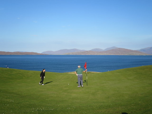
Isle of Harris Golf Club
EGG member Paul McLean enjoys some holiday golf on the Isle of Harris, sampling the fine 9 hole links of Isle of Harris Golf Club.
Nearby Amenities
Located within 500m of 57.843565,-7.0132463Have you been to Rubha Sgeir nan Sgarbh?
Leave your review of Rubha Sgeir nan Sgarbh below (or comments, questions and feedback).