Cleit an Dùin
Island in Inverness-shire
Scotland
Cleit an Dùin

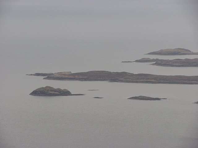
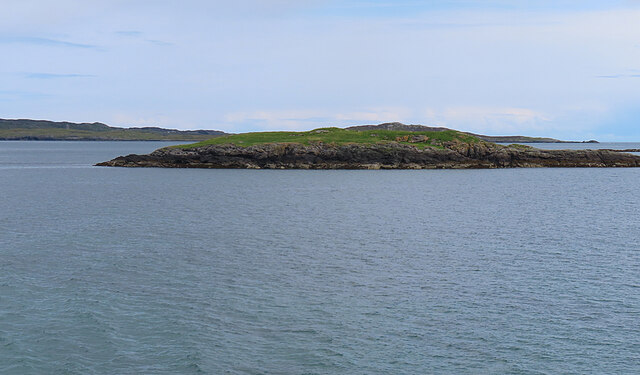
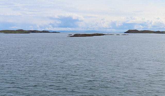
Cleit an Dùin is a small island located in Inverness-shire, Scotland. Situated off the west coast, it is part of the Inner Hebrides archipelago. The island covers an area of approximately 30 acres and is known for its rugged and picturesque landscapes.
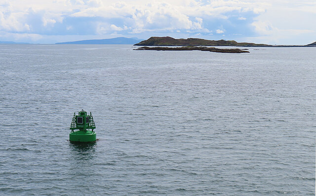
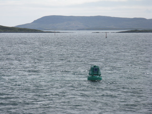
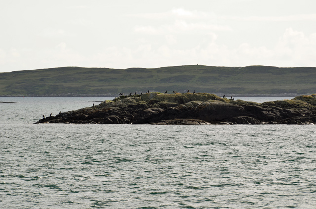
Cleit an Dùin is characterized by its rocky coastline, with high cliffs and hidden coves. The island is home to a diverse range of wildlife, including numerous seabirds, seals, and occasionally dolphins. The surrounding waters are also popular for fishing and sailing enthusiasts.
The island's name, Cleit an Dùin, translates to "rock of the fort" in Gaelic. This name reflects the island's historical significance as a defensive stronghold during ancient times. Ruins of an ancient fortification, believed to have been built in the Iron Age, can still be seen on the island. These ruins provide a glimpse into the island's rich history and attract history enthusiasts and archaeologists.
Cleit an Dùin is a haven for outdoor enthusiasts who enjoy hiking and exploring. The island offers various walking trails, providing stunning views of the surrounding sea and neighboring islands. Visitors can also enjoy picnicking or simply taking in the tranquility of the island's unspoiled natural beauty.
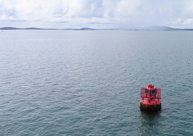
Access to Cleit an Dùin is primarily by boat, with regular ferry services available from nearby ports. The island's remote location and untouched landscapes make it a popular destination for those seeking a peaceful and scenic retreat.
If you have any feedback on the listing, please let us know in the comments section below.
Cleit an Dùin Images
Images are sourced within 2km of 57.71814/-7.0011466 or Grid Reference NG0280. Thanks to Geograph Open Source API. All images are credited.


Cleit an Dùin is located at Grid Ref: NG0280 (Lat: 57.71814, Lng: -7.0011466)
Unitary Authority: Na h-Eileanan an Iar
Police Authority: Highlands and Islands
What 3 Words
///positions.stung.visitor. Near Leverburgh, Na h-Eileanan Siar
Nearby Locations
Related Wikis

Sgarabhaigh
Sgarabhaigh (formerly anglicised Scaravay) is a small uninhabited island in the eastern end of the Sound of Harris, Outer Hebrides, Scotland. It is approximately...

Rodel
Rodel (Scottish Gaelic: Roghadal) is a village on the south-eastern coast of Harris, an island in the Scottish Outer Hebrides. Rodel is situated in the...

St Clement's Church, Rodel
St Clement's Church (Scottish Gaelic: Tùr Chliamhainn, meaning Clement's Tower) is a late fifteenth-century or early sixteenth-century church in Rodel...

Outer Hebrides
The Outer Hebrides ( HEB-rid-eez) or Western Isles (Scottish Gaelic: na h-Eileanan Siar [nə ˈhelanən ˈʃiəɾ] , na h-Eileanan an Iar [nə ˈhelanən əɲ ˈiəɾ...

Killegray
Killegray is an island in the Sound of Harris in the Outer Hebrides of Scotland. == Geography == Situated in the Sound of Harris, a channel of water between...

Leverburgh
Leverburgh (Scottish Gaelic: An t-Òb [ən̪ˠ ˈt̪ɔːp]) is the second largest village, after Tarbert, in Harris in the Outer Hebrides of Scotland. Leverburgh...

Roineabhal
Roineabhal is a hill in Harris, in the Western Isles of Scotland. The granite on the summit plateau of the mountain is anorthosite, and is similar in composition...

Na h-Eileanan an Iar (UK Parliament constituency)
Na h-Eileanan an Iar (; Scottish Gaelic pronunciation: [nəˈhelanən əˈɲiəɾ]), formerly Western Isles, is a constituency of the House of Commons of the Parliament...
Nearby Amenities
Located within 500m of 57.71814,-7.0011466Have you been to Cleit an Dùin?
Leave your review of Cleit an Dùin below (or comments, questions and feedback).