Rushes Point
Coastal Marsh, Saltings in Norfolk North Norfolk
England
Rushes Point
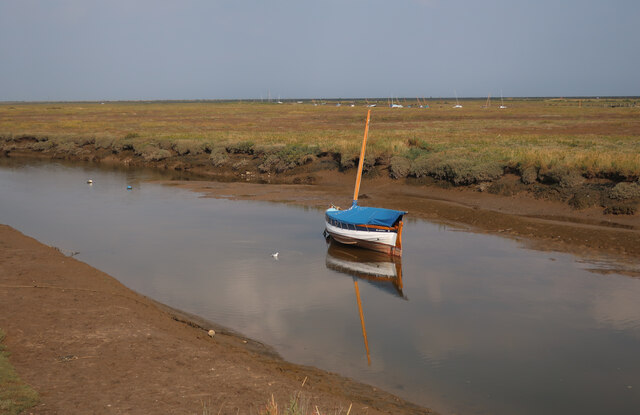
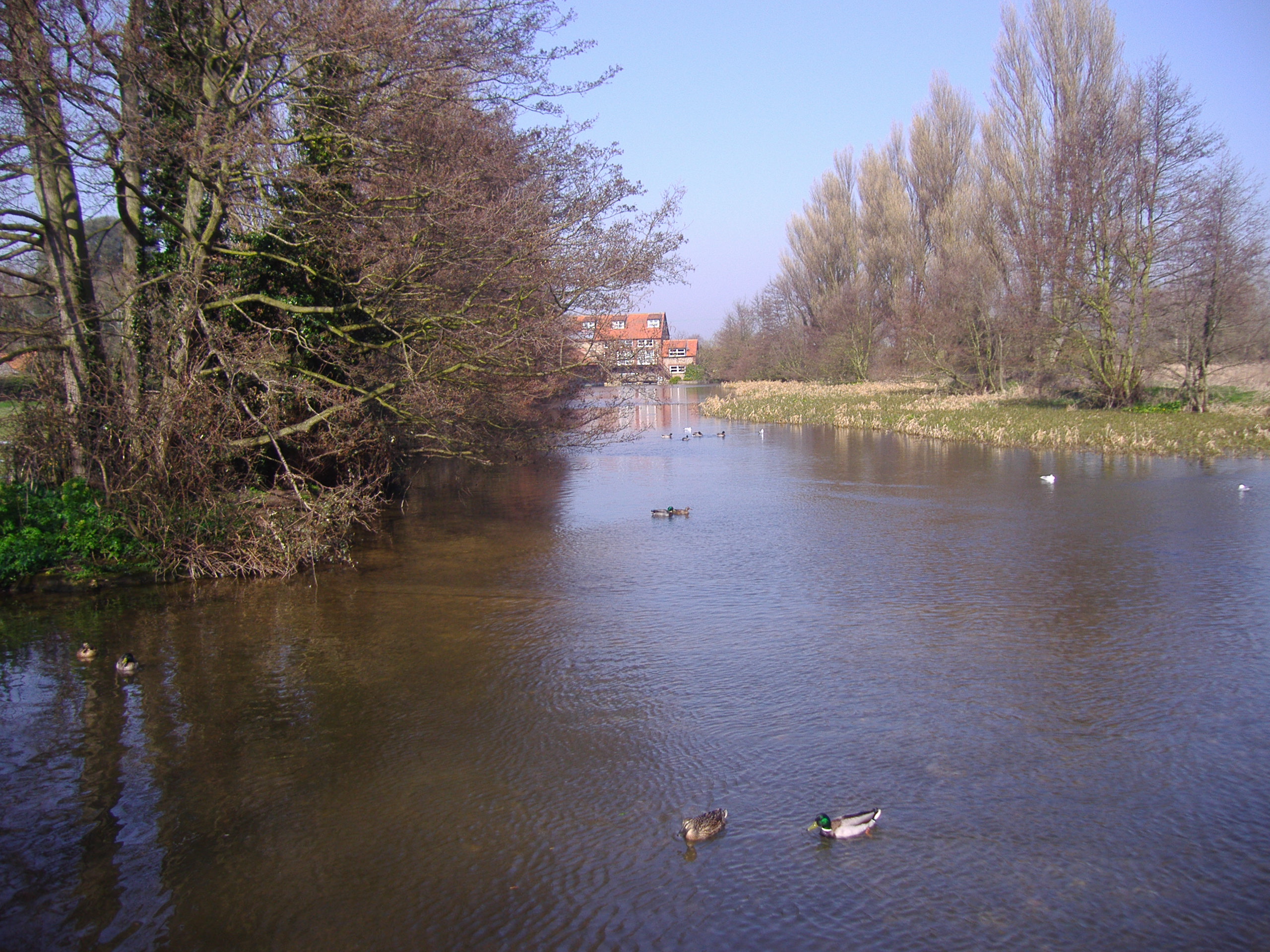
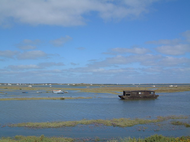
Rushes Point is a coastal marshland located in Norfolk, England. Situated within the Norfolk Coast Area of Outstanding Natural Beauty, it is a notable feature of the region's diverse and unique ecosystem.
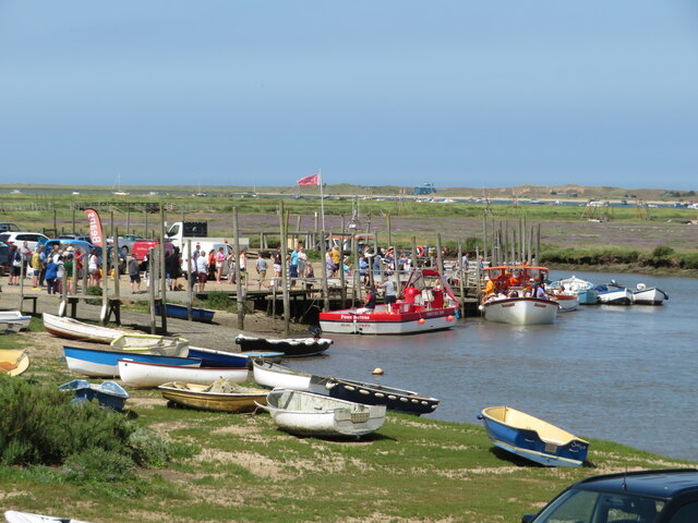
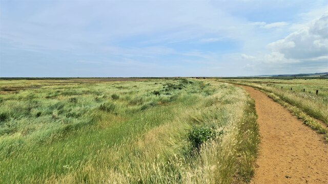
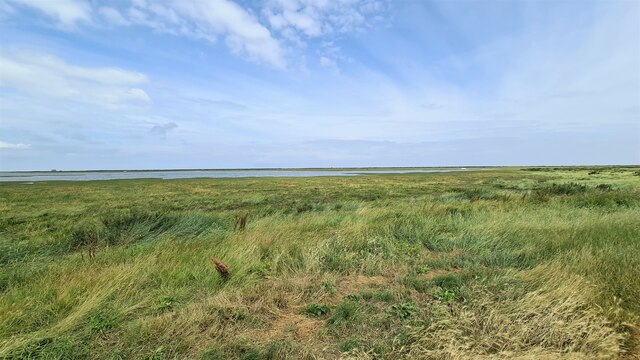
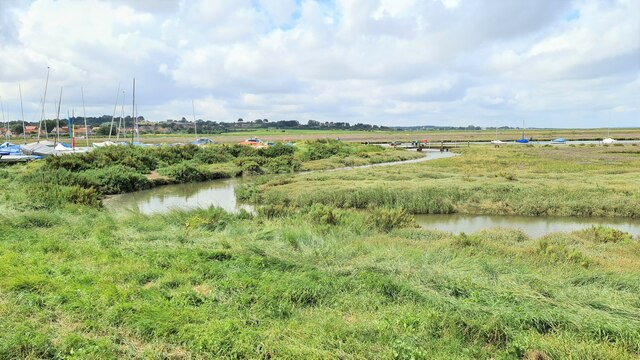
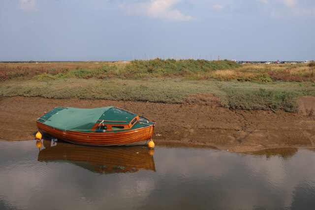
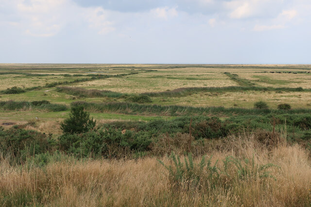
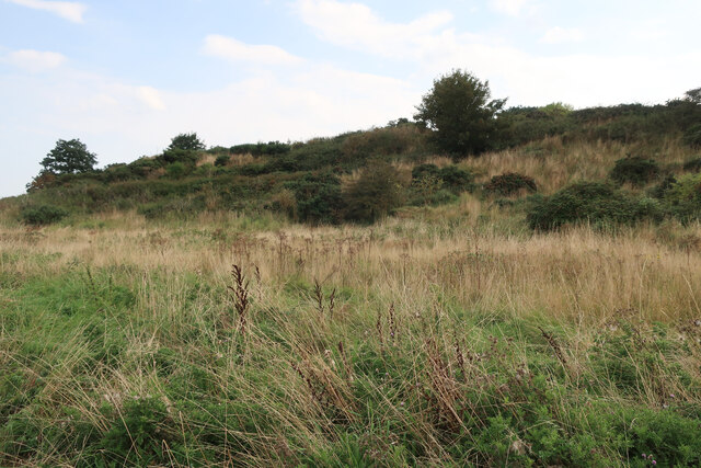
The area is predominantly characterized by its extensive salt marshes and saltings, which are found along the coastline. Rushes Point serves as an important habitat for a wide range of plant and animal species, many of which are specially adapted to the marshland environment. The salt marshes are dominated by salt-tolerant grasses, rushes, and sedges, creating a distinct and picturesque landscape.
The marshes at Rushes Point play a crucial role in coastal protection, acting as a natural barrier against erosion and storm surges. The dense network of vegetation helps stabilize the shoreline, reducing the impact of wave action and providing a buffer zone between the land and the sea.
Visitors to Rushes Point can enjoy the area's natural beauty and tranquil surroundings. The marshland provides opportunities for birdwatching, as it attracts a variety of coastal and wading birds, including redshanks, oystercatchers, and curlews. Additionally, the intertidal zones of the salt marshes support a diverse range of marine life, making it a popular spot for nature enthusiasts and wildlife photographers.
Rushes Point is a protected area, managed by local conservation organizations and authorities to preserve its ecological significance. Efforts are made to maintain the delicate balance of the marshland ecosystem, ensuring the continued survival of its unique biodiversity.
If you have any feedback on the listing, please let us know in the comments section below.
Rushes Point Images
Images are sourced within 2km of 52.963432/1.0133125 or Grid Reference TG0244. Thanks to Geograph Open Source API. All images are credited.


Rushes Point is located at Grid Ref: TG0244 (Lat: 52.963432, Lng: 1.0133125)
Administrative County: Norfolk
District: North Norfolk
Police Authority: Norfolk
What 3 Words
///continues.overhear.club. Near Wells-next-the-Sea, Norfolk
Nearby Locations
Related Wikis
River Glaven
The River Glaven in the eastern English county of Norfolk is 10.5 mi (16.9 km) long and flows through picturesque North Norfolk countryside to the North...

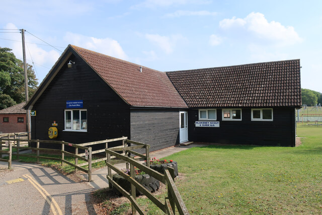
Blakeney Guildhall
Blakeney Guildhall is a building in the coastal village of Blakeney in the north of the county of Norfolk. The property is in the care of English Heritage...

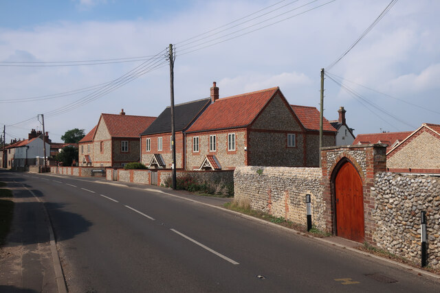
Blakeney, Norfolk
Blakeney is a coastal village and civil parish in the English county of Norfolk. Blakeney lies within the Norfolk Coast AONB (Area of Outstanding Natural...

Blakeney Windmill
Blakeney Tower Windmill, built in 1769, is located on Friar Farm just to the east of the village of Blakeney in the English county of Norfolk. The mill...

St Nicholas, Blakeney
St Nicholas is the Anglican parish church of Blakeney, Norfolk, in the deanery of Holt and the Diocese of Norwich. The church was founded in the 13th century...

Wiveton Hall
Wiveton Hall is a country house in Wiveton, Norfolk, England. It is Grade II* listed. It was built in 1652 and extended in 1908. However there are remains...
North Norfolk Coast Site of Special Scientific Interest
The North Norfolk Coast Site of Special Scientific Interest (SSSI) is an area of European importance for wildlife in Norfolk, England. It comprises 7,700...

Blakeney Chapel
Blakeney Chapel is a ruined building on the coast of North Norfolk, England. Despite its name, it was probably not a chapel, nor is it in the adjoining...
Nearby Amenities
Located within 500m of 52.963432,1.0133125Have you been to Rushes Point?
Leave your review of Rushes Point below (or comments, questions and feedback).