Langenhoehall Marsh
Coastal Marsh, Saltings in Essex Colchester
England
Langenhoehall Marsh
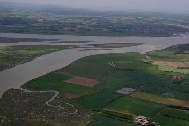
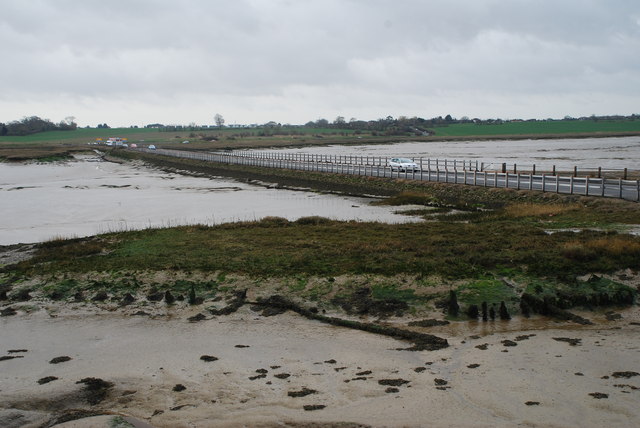
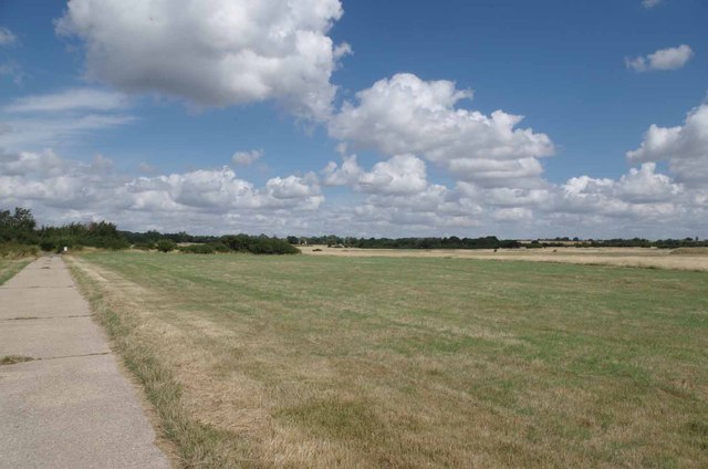
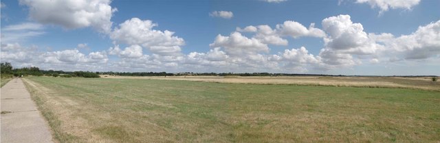
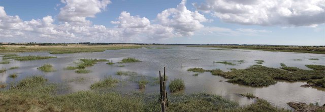
Langenhoehall Marsh is a coastal marsh located in Essex, England. It is characterized by its vast expanse of low-lying, flat land that extends along the coast, adjacent to the North Sea. The marsh is part of the larger coastal saltings ecosystem, which encompasses a range of habitats such as mudflats, salt marshes, and creeks.
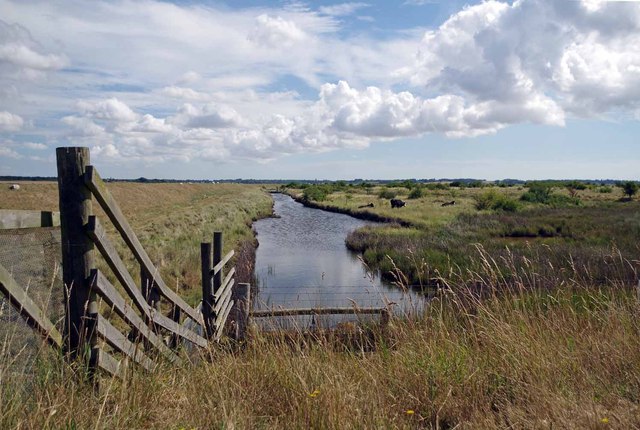
This marshland is predominantly covered by salt-tolerant vegetation, including samphire, sea lavender, and sea purslane. These plants not only thrive in the saline conditions but also play a vital role in stabilizing the marshland, preventing erosion, and providing a habitat for numerous species of birds, insects, and small mammals.
Given its proximity to the coast, Langenhoehall Marsh experiences regular tidal influence. During high tide, the marsh is submerged in water, creating a dynamic and ever-changing environment. This tidal flooding also brings in nutrient-rich sediments, sustaining the unique flora and fauna of the marsh.
The marsh serves as an important stopover site for migratory birds, providing them with feeding and resting areas during their long journeys. Species such as dunlins, redshanks, and avocets can often be observed in the area, making it a popular destination for birdwatchers and nature enthusiasts.
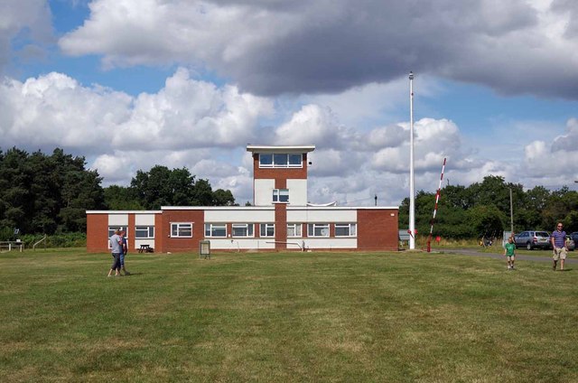
Langenhoehall Marsh is not only a significant ecological site but also holds historical importance. The surrounding area is dotted with remnants of salt-making industry, showcasing the long-standing human connection to the marshland.
Overall, Langenhoehall Marsh is a valuable coastal ecosystem that supports a diverse range of wildlife and provides an important ecological function in the region.
If you have any feedback on the listing, please let us know in the comments section below.
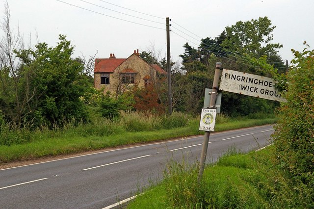
Langenhoehall Marsh Images
Images are sourced within 2km of 51.810038/0.93360684 or Grid Reference TM0216. Thanks to Geograph Open Source API. All images are credited.


Langenhoehall Marsh is located at Grid Ref: TM0216 (Lat: 51.810038, Lng: 0.93360684)
Administrative County: Essex
District: Colchester
Police Authority: Essex
What 3 Words
///gaps.thuds.hurricane. Near West Mersea, Essex
Nearby Locations
Related Wikis

Ray Island
Ray Island, also known as the Ray, is a 40.5-hectare (100-acre) nature reserve west of Mersea Island in Essex. It is owned by the National Trust, who bought...

Mersea Island
Mersea Island is an island in Essex, England, in the Blackwater and Colne estuaries to the south-east of Colchester. Its name comes from the Old English...

Barrow Hill, Essex
Barrow Hill is a hamlet in Essex, England. It is located on Mersea Island, approximately 2 km (1.2 mi) north-northeast of West Mersea near to where the...
Langenhoe
Langenhoe is a village in the City of Colchester district of Essex, England, located south of Colchester. According to the 2001 census it had a population...

1884 Colchester earthquake
The Colchester earthquake, also known as the Great English earthquake, occurred on the morning of 22 April 1884 at 09:18. It caused considerable damage...
Abberton, Essex
Abberton is a village in the City of Colchester district of Essex, England. It is located approximately 0.62 mi (1.00 km) east of Abberton Reservoir and...

Colne Estuary
Colne Estuary is a 2915 hectare biological and geological Site of Special Scientific Interest near Brightlingsea in Essex. It is also a Nature Conservation...

Peldon
Peldon is a village and civil parish in the Colchester borough of Essex, England. With Salcott, Virley, Great Wigborough and Little Wigborough, it forms...
Nearby Amenities
Located within 500m of 51.810038,0.93360684Have you been to Langenhoehall Marsh?
Leave your review of Langenhoehall Marsh below (or comments, questions and feedback).