Hythe Marshes

Coastal Marsh, Saltings in Essex Colchester

England

Hythe Marshes

Wivenhoe, St Mary the Virgin
Wivenhoe, St Mary the Virgin Credit: Dave Kelly

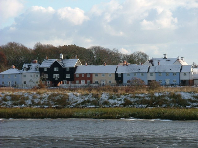
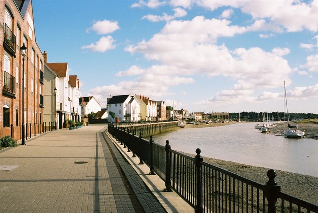
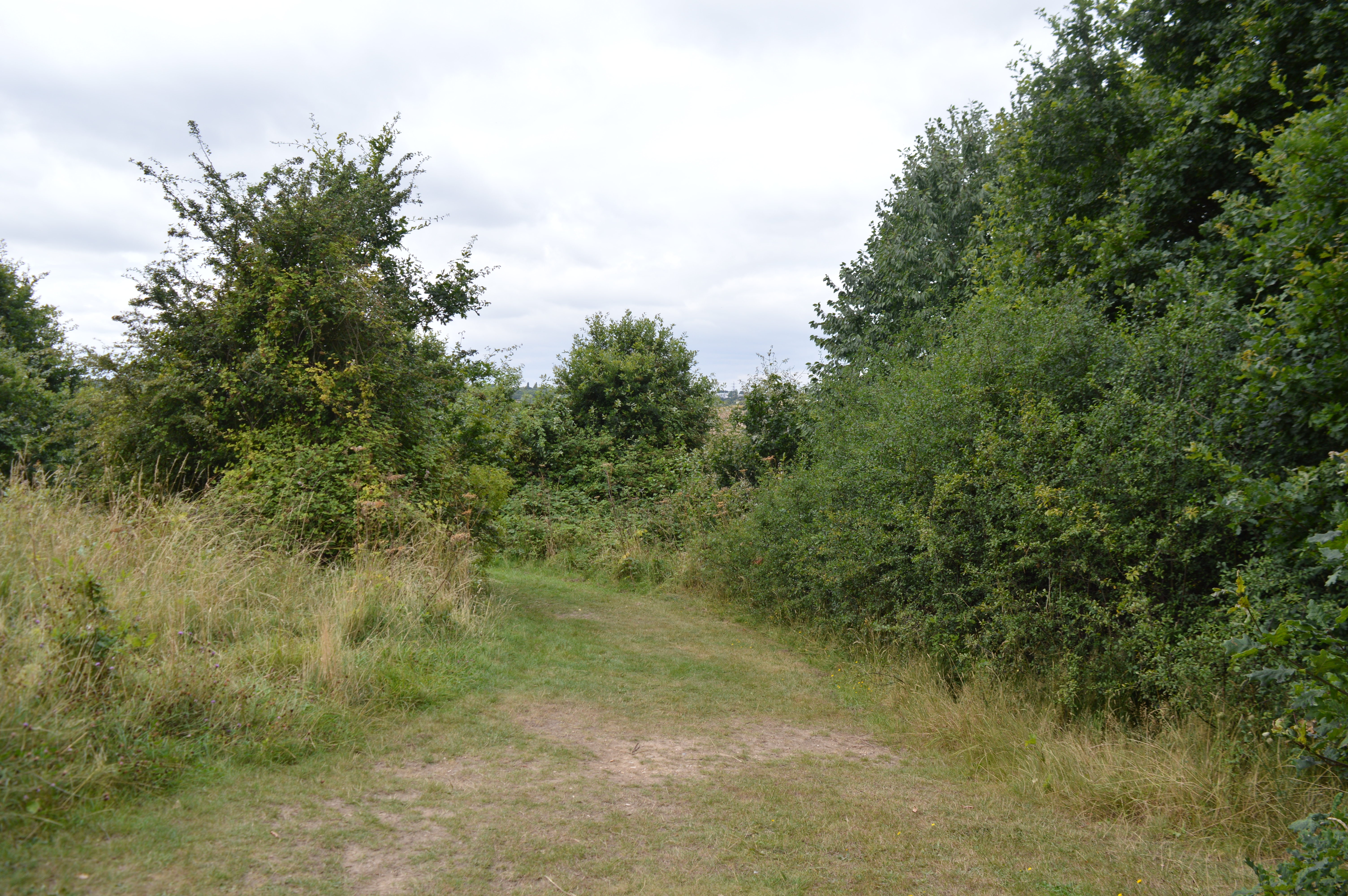
Hythe Marshes, located in Essex, is a coastal marshland characterized by its vast expanse of salt marshes and saltings. Situated along the eastern coast of England, this area showcases a diverse range of habitats and is known for its rich biodiversity.

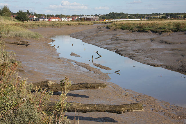
The marshes are primarily composed of mudflats, salt marshes, and saltwater creeks, which are influenced by the tides of the North Sea. These tidal flows contribute to the formation of various channels and creeks, creating a unique and dynamic landscape. The marshes are also home to several rare plant species, including sea lavender and sea aster, which thrive in the salty conditions.

This area serves as an important breeding ground and stopover site for migratory birds, attracting a wide range of avian species. Birdwatchers can often spot a variety of waders, such as dunlin, redshank, and curlew, as well as wintering waterfowl like brent geese and wigeons. The marshes also support breeding populations of rare birds, such as avocets and marsh harriers.

Hythe Marshes is not only significant for its biodiversity but also for its role in flood protection. The marshes act as a natural buffer, absorbing excess water during high tides and storm surges, thus minimizing the risk of flooding for nearby communities.

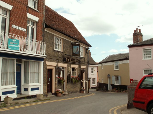
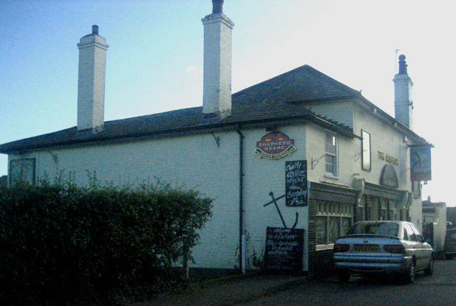
Visitors to Hythe Marshes can enjoy various recreational activities, including walking, birdwatching, and photography. The area is accessible via public footpaths and offers stunning views of the surrounding coastal landscape. It provides a tranquil and picturesque setting where visitors can immerse themselves in the beauty of nature and experience the unique coastal ecosystem of Essex.

If you have any feedback on the listing, please let us know in the comments section below.

Hythe Marshes Images

Images are sourced within 2km of 51.865728/0.94042696 or Grid Reference TM0222. Thanks to Geograph Open Source API. All images are credited.

Wivenhoe, St Mary the Virgin
Rowhedge Quay The quay on the River Colne is no longer in use. The photo was taken from Wivenhoe, on the opposite bank.
Rowhedge Quay
The quay on the River Colne is no longer in use. The photo was taken from Wivenhoe, on the opposite bank.
TS Colne Light Sea Cadets Training Ship has been moored at the Hythe Quay for many years. Commercial operations at the dock have now effectively ceased
TS Colne Light
Sea Cadets Training Ship has been moored at the Hythe Quay for many years. Commercial operations at the dock have now effectively ceased
Wivenhoe Park (University of Essex Buildings) The central block in the photo carries (I believe) the transmitting aerials for local station SGR Colchester. The block in the foreground carries transmitting aerials for a low power TV relay covering parts of Colchester (out of shot).
Wivenhoe Park (University of Essex Buildings)
The central block in the photo carries (I believe) the transmitting aerials for local station SGR Colchester. The block in the foreground carries transmitting aerials for a low power TV relay covering parts of Colchester (out of shot).
Weir Lane Weir Lane runs from the B1025 Near Blackheath Colchester to Donnyland Heath near Rowhedge. The lane passes through the danger area of the Middlewick Rifle Range <a href="https://www.geograph.org.uk/gridref/TM0022">TM0022</a>. When the range is in use the road is closed with gates at each end. The yellow signs beside the footpath fingerposts warn of the fatal consequences of interfering with any military debris you may find on the army’s grounds. The picture was taken looking towards Rowhedge.
Weir Lane
Weir Lane runs from the B1025 Near Blackheath Colchester to Donnyland Heath near Rowhedge. The lane passes through the danger area of the Middlewick Rifle Range TM0022. When the range is in use the road is closed with gates at each end. The yellow signs beside the footpath fingerposts warn of the fatal consequences of interfering with any military debris you may find on the army’s grounds. The picture was taken looking towards Rowhedge.
Not the Ipswich Arms This is a picture of the junction of the Fingeringhoe Rd (left to right) with Weir lane (photographers position) and Rectory Road Rowhedge (in front). The building was originally a Daniels Brewery Ale House, “The Ipswich Arms” this became a Truman pub. After a long period of closure the real ale revival of the early eighties enabled it to re-open as a Free House renamed the "Walnut Tree". However this too eventually closed due to the almost total lack of local trade within walking distance, it is now a private house. The Village sign is for East Donyland District.
Not the Ipswich Arms
This is a picture of the junction of the Fingeringhoe Rd (left to right) with Weir lane (photographers position) and Rectory Road Rowhedge (in front). The building was originally a Daniels Brewery Ale House, “The Ipswich Arms” this became a Truman pub. After a long period of closure the real ale revival of the early eighties enabled it to re-open as a Free House renamed the "Walnut Tree". However this too eventually closed due to the almost total lack of local trade within walking distance, it is now a private house. The Village sign is for East Donyland District.
Hythe in 1975 This is a picture of Hythe Colchester taken in 1975 when it was still operating as an active dock. The grain was being loaded at Huslers Grain and Silage Company.
Hythe in 1975
This is a picture of Hythe Colchester taken in 1975 when it was still operating as an active dock. The grain was being loaded at Huslers Grain and Silage Company.
Coldock 1975 This is a picture of the Coldock (The Colchester Dock Transport Company) grain silo and cranes. The picture was taken in 1975 as part of a CSE project. The picture was taken looking downstream. You can see the view thirty-two years on at <a href="https://www.geograph.org.uk/photo/445163">TM0223 : Coldock Revisited</a>.
Coldock 1975
This is a picture of the Coldock (The Colchester Dock Transport Company) grain silo and cranes. The picture was taken in 1975 as part of a CSE project. The picture was taken looking downstream. You can see the view thirty-two years on at TM0223 : Coldock Revisited.
Cannock Mill, Old Heath There has been a mill on this site in Old Heath Colchester since the 14th century. The current mill is a nineteenth century structure,  now a tropical fish and aquatics shop. A fuller history may be found at <span class="nowrap"><a title="http://www.british-history.ac.uk/report.asp?compid=21998" rel="nofollow ugc noopener" href="http://www.british-history.ac.uk/report.asp?compid=21998">Link</a><img style="margin-left:2px;" alt="External link" title="External link - shift click to open in new window" src="https://s1.geograph.org.uk/img/external.png" width="10" height="10"/></span>
Cannock Mill, Old Heath
There has been a mill on this site in Old Heath Colchester since the 14th century. The current mill is a nineteenth century structure, now a tropical fish and aquatics shop. A fuller history may be found at LinkExternal link
Tin Tabernacle in Old Heath This corrugated iron chapel in Old Heath Colchester is a Congregational Church dating from 1869
Tin Tabernacle in Old Heath
This corrugated iron chapel in Old Heath Colchester is a Congregational Church dating from 1869
The Edge of Rowhedge This is the point on Rowhedge Rd where Old Heath becomes Rowhedge. The photo was taken looking towards the South-East.
The Edge of Rowhedge
This is the point on Rowhedge Rd where Old Heath becomes Rowhedge. The photo was taken looking towards the South-East.
Rowhedge Quay in Snow. Rowhedge Quay side with new pontoon, early 2006 Snow cover looking up river. "River Blackwater"
Rowhedge Quay in Snow.
Rowhedge Quay side with new pontoon, early 2006 Snow cover looking up river. "River Blackwater"
Wivenhoe Winter Wivenhoe new homes in early 2006 light snow cover, viewed from Rowhedge Quay.
Wivenhoe Winter
Wivenhoe new homes in early 2006 light snow cover, viewed from Rowhedge Quay.
Wivenhoe Fire Station in Colchester Road opposite Vine Drive
Wivenhoe Fire Station
in Colchester Road opposite Vine Drive
Wivenhoe Waterfront The Tidal Colne providing the setting for Wivenhoe.
Wivenhoe Waterfront
The Tidal Colne providing the setting for Wivenhoe.
'The Black Buoy' inn, Wivenhoe, Essex This is one of the pretty winding streets at Wivenhoe, full of interesting buildings. 'The Black Buoy' is Wivenhoe's oldest inn and has a smugglers' tunnel running from the quay - though we are reliably informed that it is no longer in use.
'The Black Buoy' inn, Wivenhoe, Essex
This is one of the pretty winding streets at Wivenhoe, full of interesting buildings. 'The Black Buoy' is Wivenhoe's oldest inn and has a smugglers' tunnel running from the quay - though we are reliably informed that it is no longer in use.
Wivenhoe House Conference Centre This is Wivenhoe House conference centre; part of Essex University. The house was built in 1758 and remodelled in 1816 it was used by the military including the SAS during WW2 and became part of Essex University in 1964. For more history and current info see <span class="nowrap"><a title="http://www.wivenhoehousehotel.co.uk/" rel="nofollow ugc noopener" href="http://www.wivenhoehousehotel.co.uk/">Link</a><img style="margin-left:2px;" alt="External link" title="External link - shift click to open in new window" src="https://s1.geograph.org.uk/img/external.png" width="10" height="10"/></span>
Wivenhoe House Conference Centre
This is Wivenhoe House conference centre; part of Essex University. The house was built in 1758 and remodelled in 1816 it was used by the military including the SAS during WW2 and became part of Essex University in 1964. For more history and current info see LinkExternal link
The Anchor This public house is on the Rowhedge side of the river and faces away from the water.
The Anchor
This public house is on the Rowhedge side of the river and faces away from the water.
Show me another place!

Hythe Marshes is located at Grid Ref: TM0222 (Lat: 51.865728, Lng: 0.94042696)

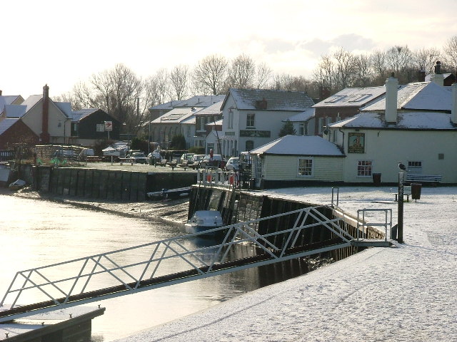
Administrative County: Essex

District: Colchester

Police Authority: Essex

What 3 Words

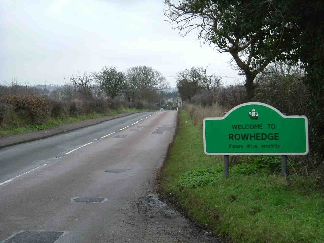
///bronze.spoon.voter. Near Rowhedge, Essex

Nearby Locations

Hythe Marshes

Related Wikis

Upper Colne Marshes

Upper Colne Marshes is a 114.1-hectare (282-acre) biological Site of Special Scientific Interest south and west of Wivenhoe in Essex. It lies along stretches...

Donyland Lodge

Donyland Lodge was an independent school in Rowhedge, Colchester in the United Kingdom The school catered for children with complex behavioural, social...

Colne Local Nature Reserve

Colne Local Nature Reserve is a 34.7 hectare Local Nature Reserve in Wivenhoe in Essex. It is owned and managed by Colchester Borough Council.Most of the...

Rowhedge Ironworks

Rowhedge Ironworks was a shipyard situated on the River Colne, and in the village of Rowhedge, in the English county of Essex. It existed from 1904 to...

Nearby Amenities

Located within 500m of 51.865728,0.94042696
Ford: intermittent
Lat/Long: 51.870059/0.9422083
Cleavelands
Naptan AtcoCode: 1500EMP0013
Naptan Bearing: NW
Naptan BusStopType: CUS
Naptan CommonName: Cleavelands
Naptan Indicator: Opp
Naptan Landmark: Cleavelands
Naptan NaptanCode: esxgjdmp
Naptan PlusbusZoneRef: CLCHSTR
Naptan Street: Rowhedge Road
Naptan Verified: no
Public Transport: platform
Source: naptan_import
Lat/Long: 51.8629314/0.9370121
Cleavelands
Naptan AtcoCode: 1500TEMP0012
Naptan Bearing: SE
Naptan BusStopType: CUS
Naptan CommonName: Cleavelands
Naptan Indicator: o/s
Naptan Landmark: Cleavelands
Naptan NaptanCode: esxgjdmj
Naptan PlusbusZoneRef: CLCHSTR
Naptan Street: Rowhedge Road
Naptan Verified: no
Public Transport: platform
Source: naptan_import
Lat/Long: 51.8631606/0.9368382
Generator Method: photovoltaic
Generator Output Electricity: yes
Generator Source: solar
Generator Type: solar_photovoltaic_panel
Location: roof
Power: generator
Lat/Long: 51.8638233/0.9363431
Generator Method: photovoltaic
Generator Output Electricity: yes
Generator Source: solar
Generator Type: solar_photovoltaic_panel
Location: roof
Power: generator
Lat/Long: 51.8624427/0.9371115
Marker: post
Material: concrete
Note: Upright 2009-2016. Fallen over in 2018. Not visible (perhaps hidden by undergrowth) in 2019.
Utility: gas
Lat/Long: 51.864474/0.934618
Colour: red and white
Marker: aerial
Material: plastic
Utility: gas
Lat/Long: 51.8652084/0.934871
Colour: red and white
Marker: aerial
Material: plastic
Utility: gas
Lat/Long: 51.8639621/0.9341345
Power: pole
Lat/Long: 51.8640463/0.9342775
Colour: yellow
Marker: post
Material: concrete
Utility: gas
Lat/Long: 51.8640622/0.9341703
Colour: red
Marker: post
Material: concrete
Utility: gas
Lat/Long: 51.8639619/0.93413
The data included in this document is from www.openstreetmap.org. The data is made available under ODbL.

Have you been to Hythe Marshes?

Leave your review of Hythe Marshes below (or comments, questions and feedback).