Old Creek
Sea, Estuary, Creek in Norfolk North Norfolk
England
Old Creek
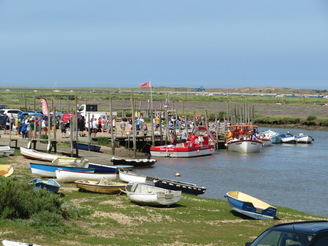
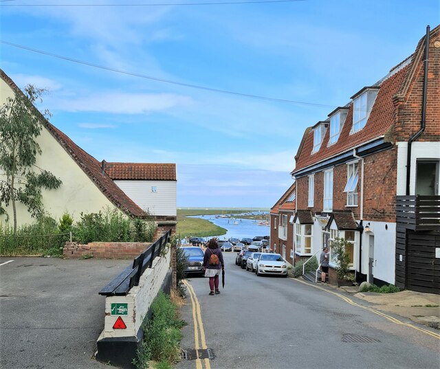
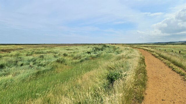
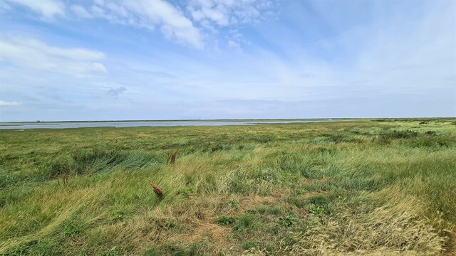
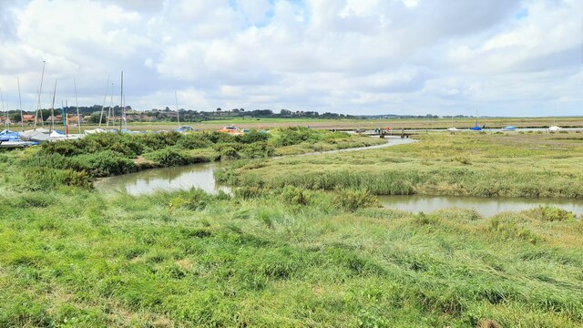
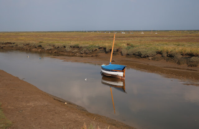
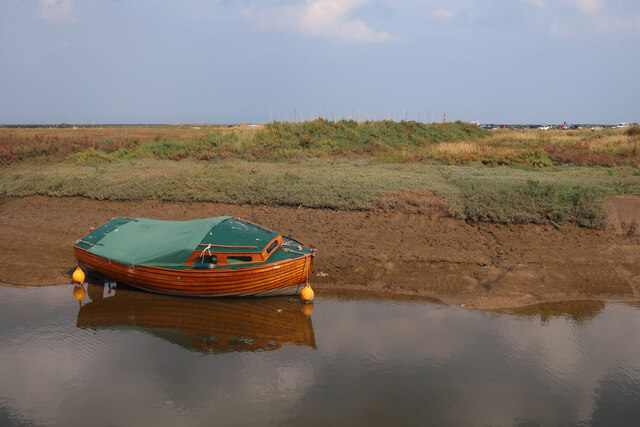
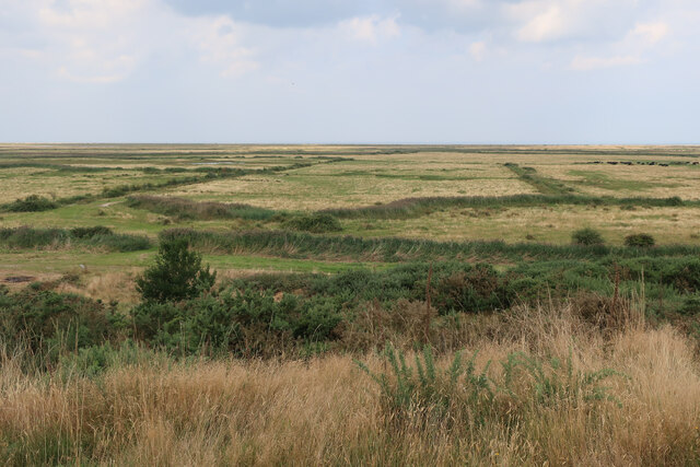
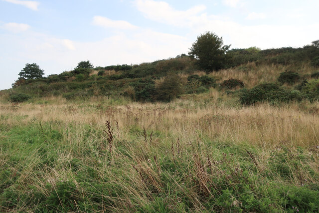
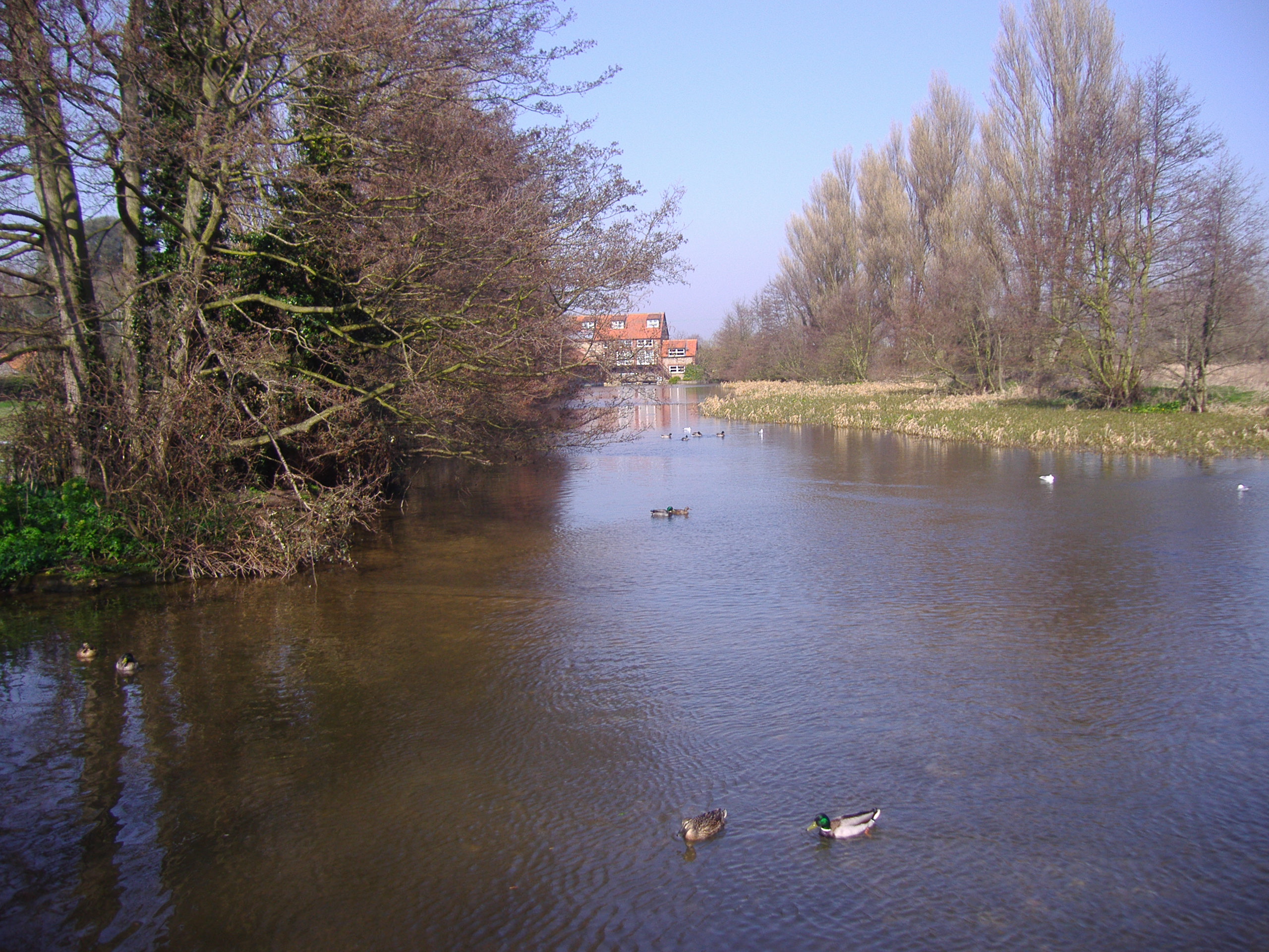
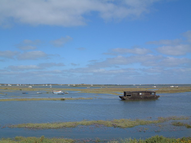
Old Creek is a picturesque waterway located in Norfolk, England. It is an estuary that flows into the North Sea, creating a serene and tranquil atmosphere. The creek is nestled within a lush green landscape, dotted with reed beds and surrounded by salt marshes, making it a haven for wildlife and nature enthusiasts.
The creek itself is approximately 1.5 miles long and is a tidal inlet, meaning its water levels fluctuate with the ebb and flow of the tide. It is primarily fed by freshwater streams and rivers that meander through the surrounding countryside.
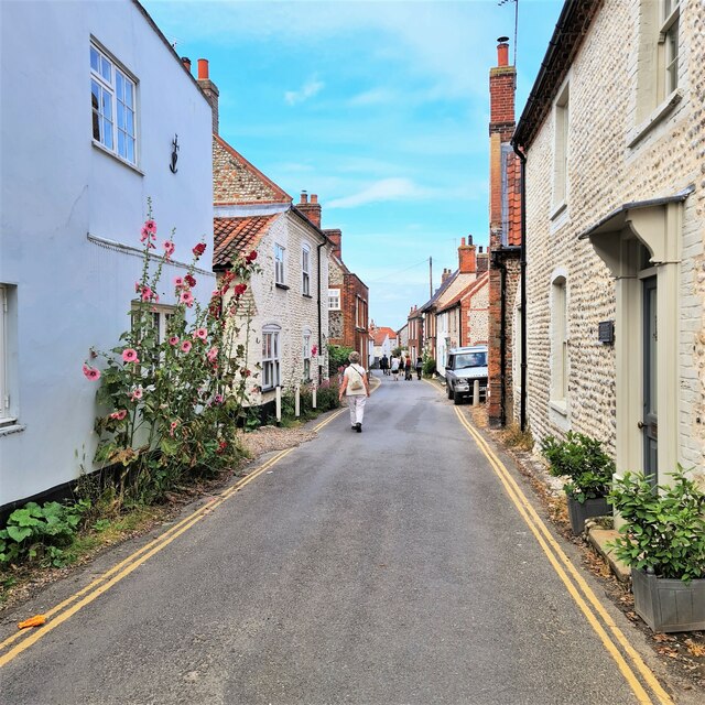
The area surrounding Old Creek is rich in history and has been inhabited for centuries. The creek has served various purposes throughout its existence, including supporting a small fishing industry and providing a transportation route for goods and people.
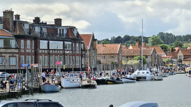
Today, Old Creek is a popular destination for boating and fishing enthusiasts. Its calm waters provide the perfect setting for a peaceful day out on the water, whether it's in a kayak, canoe, or small motorboat. Anglers can be seen casting their lines in search of various fish species that inhabit the creek, including flounder, bass, and mullet.
The creek also attracts a wide variety of bird species, making it a haven for birdwatchers. Visitors can spot wading birds, such as herons and egrets, as well as migratory birds that use the area as a stopover during their journeys.
Old Creek is a hidden gem in Norfolk, offering a tranquil escape from the hustle and bustle of everyday life. Its natural beauty and diverse wildlife make it a must-visit destination for those seeking a peaceful retreat in the heart of nature.
If you have any feedback on the listing, please let us know in the comments section below.
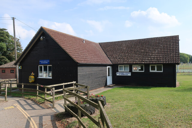
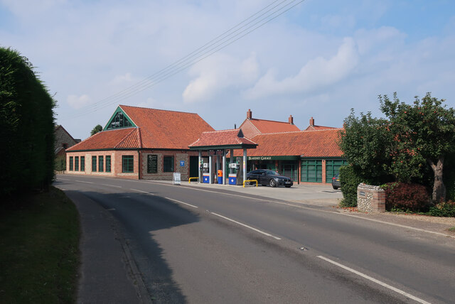
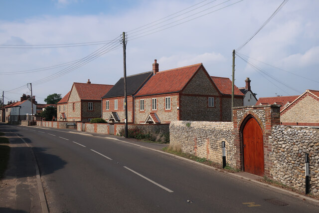
Old Creek Images
Images are sourced within 2km of 52.962046/1.014065 or Grid Reference TG0244. Thanks to Geograph Open Source API. All images are credited.


Old Creek is located at Grid Ref: TG0244 (Lat: 52.962046, Lng: 1.014065)
Administrative County: Norfolk
District: North Norfolk
Police Authority: Norfolk
What 3 Words
///noted.clogging.novels. Near Wells-next-the-Sea, Norfolk
Nearby Locations
Related Wikis

Blakeney Guildhall
Blakeney Guildhall is a building in the coastal village of Blakeney in the north of the county of Norfolk. The property is in the care of English Heritage...

Blakeney, Norfolk
Blakeney is a coastal village and civil parish in the English county of Norfolk. Blakeney lies within the Norfolk Coast AONB (Area of Outstanding Natural...
River Glaven
The River Glaven in the eastern English county of Norfolk is 10.5 mi (16.9 km) long and flows through picturesque North Norfolk countryside to the North...

Blakeney Windmill
Blakeney Tower Windmill, built in 1769, is located on Friar Farm just to the east of the village of Blakeney in the English county of Norfolk. The mill...

St Nicholas, Blakeney
St Nicholas is the Anglican parish church of Blakeney, Norfolk, in the deanery of Holt and the Diocese of Norwich. The church was founded in the 13th century...

Wiveton Hall
Wiveton Hall is a country house in Wiveton, Norfolk, England. It is Grade II* listed. It was built in 1652 and extended in 1908. However there are remains...
North Norfolk Coast Site of Special Scientific Interest
The North Norfolk Coast Site of Special Scientific Interest (SSSI) is an area of European importance for wildlife in Norfolk, England. It comprises 7,700...

Blakeney Chapel
Blakeney Chapel is a ruined building on the coast of North Norfolk, England. Despite its name, it was probably not a chapel, nor is it in the adjoining...
Nearby Amenities
Located within 500m of 52.962046,1.014065Have you been to Old Creek?
Leave your review of Old Creek below (or comments, questions and feedback).