Rubha an t-Sàirdseant
Coastal Marsh, Saltings in Argyllshire
Scotland
Rubha an t-Sàirdseant
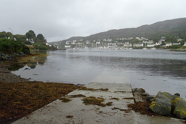
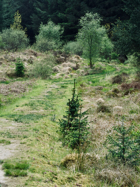
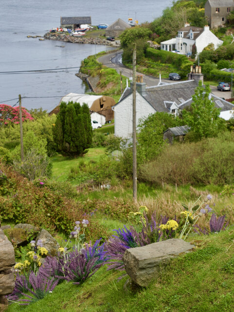
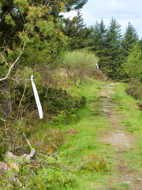
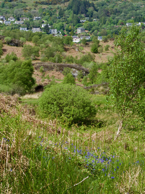
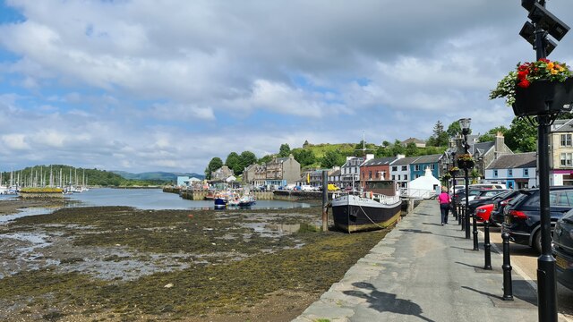
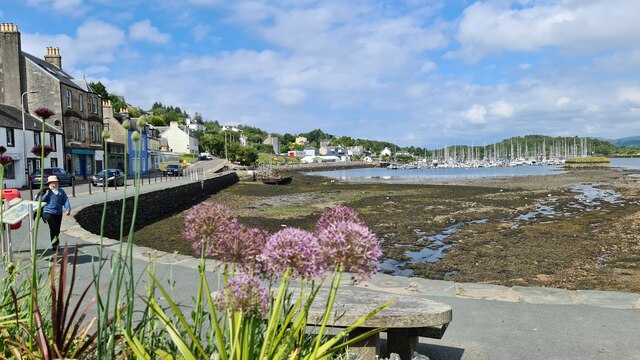
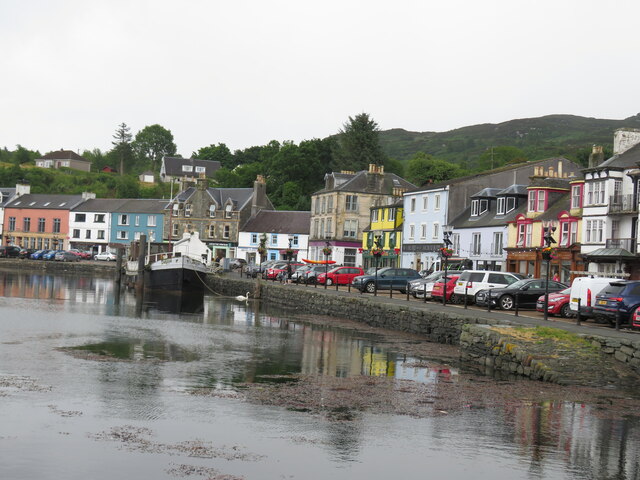
Rubha an t-Sàirdseant is a coastal marsh and saltings located in Argyllshire, Scotland. The area is characterized by its unique mix of salt marshes, mudflats, and sand dunes, providing a diverse habitat for a wide range of plant and animal species.
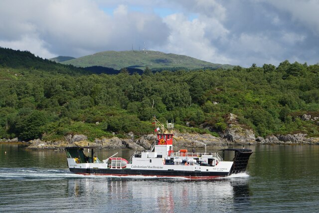
The marsh is situated along the rugged coastline of Argyllshire, offering stunning views of the surrounding landscape and the nearby islands. The area is home to a variety of bird species, including oystercatchers, curlews, and redshanks, making it a popular spot for birdwatching enthusiasts.
In addition to its rich birdlife, Rubha an t-Sàirdseant is also home to a number of plant species that are specially adapted to the salty and sandy conditions of the marsh. These plants play a crucial role in stabilizing the soil and providing food and shelter for the local wildlife.
Visitors to Rubha an t-Sàirdseant can enjoy walks along the coastline, taking in the sights and sounds of the marshland ecosystem. The area is also a designated nature reserve, offering protection for its unique flora and fauna.
If you have any feedback on the listing, please let us know in the comments section below.
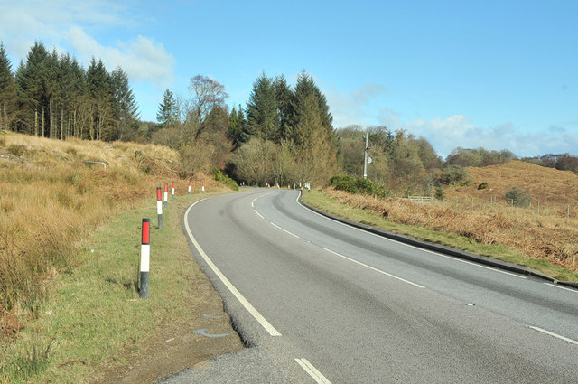
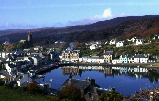
Rubha an t-Sàirdseant Images
Images are sourced within 2km of 55.864801/-5.3945654 or Grid Reference NR8768. Thanks to Geograph Open Source API. All images are credited.

Rubha an t-Sàirdseant is located at Grid Ref: NR8768 (Lat: 55.864801, Lng: -5.3945654)
Unitary Authority: Argyll and Bute
Police Authority: Argyll and West Dunbartonshire
What 3 Words
///cement.helm.counts. Near Tarbert, Argyll & Bute
Related Wikis

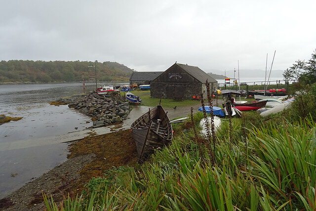
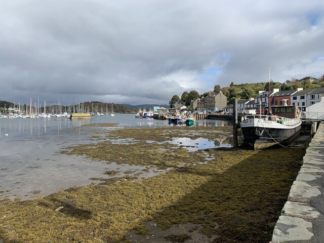
East Loch Tarbert, Argyll
East Loch Tarbert, Argyll is a small sea loch on the eastern side of the Kintyre peninsula in Scotland. It is a part of the much larger Loch Fyne. The...

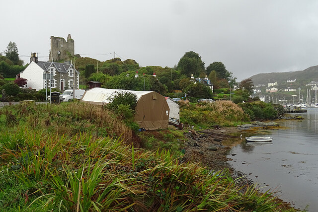
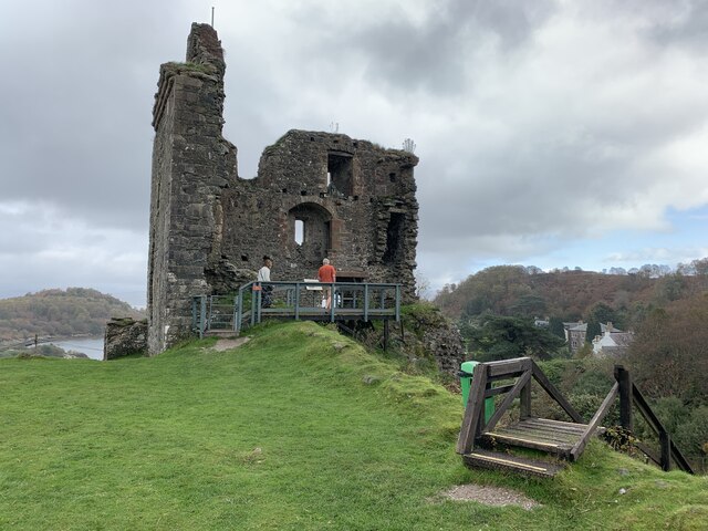
Tarbert Castle
Tarbert Castle is located on the southern shore of East Loch Tarbert, at Tarbert, Argyll, Scotland, at the north end of Kintyre. Tarbert Castle was a strategic...
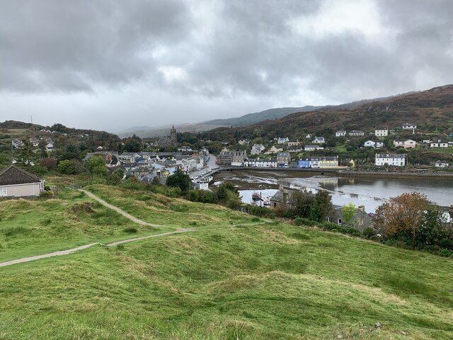
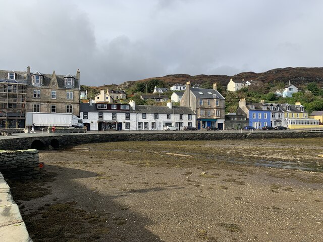
Tarbert, Kintyre
Tarbert (Scottish Gaelic: An Tairbeart, pronounced [ən̪ˠ ˈt̪ʰaɾʲapərˠʃt̪], or Tairbeart Loch Fìne to distinguish it from other places of the same name...

Barmore Island
Barmore Island is a peninsula in Scotland located on the east of Knapdale, in the council area of Argyll and Bute. It is 1 and a half miles north from...
Nearby Amenities
Located within 500m of 55.864801,-5.3945654Have you been to Rubha an t-Sàirdseant?
Leave your review of Rubha an t-Sàirdseant below (or comments, questions and feedback).