Cnoc a' Challa
Hill, Mountain in Argyllshire
Scotland
Cnoc a' Challa
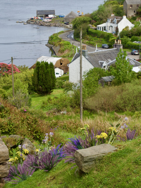
Cnoc a' Challa is a prominent hill located in Argyllshire, Scotland. With an elevation of 576 meters (1,890 feet), it is considered a significant landmark in the region. The hill is situated in a remote and rugged area, offering breathtaking views of the surrounding countryside and nearby lochs.
Cnoc a' Challa is known for its distinct shape, characterized by a rounded summit and steep slopes covered in heather and grass. The hill is primarily composed of ancient rocks, including granite and gneiss, which add to its natural charm and appeal.
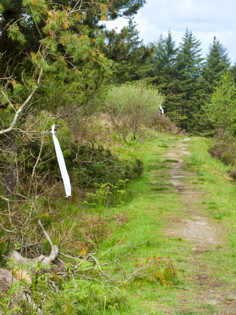
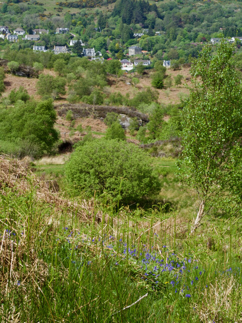
Hiking enthusiasts and outdoor adventurers are drawn to Cnoc a' Challa due to its challenging terrain and stunning vistas. The ascent to the summit can be demanding, but the reward is well worth the effort. On a clear day, visitors are treated to sweeping panoramas of Loch Awe, Loch Avich, and the surrounding mountain ranges.
The hill is also home to a variety of wildlife, including red deer, mountain hares, and various bird species. Nature lovers often spot these creatures while exploring the hill's trails and pathways.
Cnoc a' Challa is a popular destination for both locals and tourists seeking a tranquil and scenic escape. Its remote location ensures a peaceful and unspoiled environment, allowing visitors to connect with nature and experience the beauty of the Scottish Highlands.
If you have any feedback on the listing, please let us know in the comments section below.
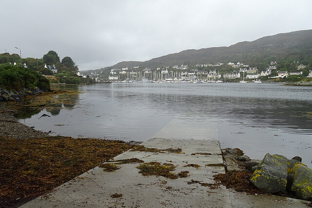
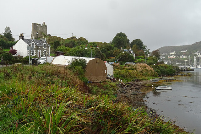
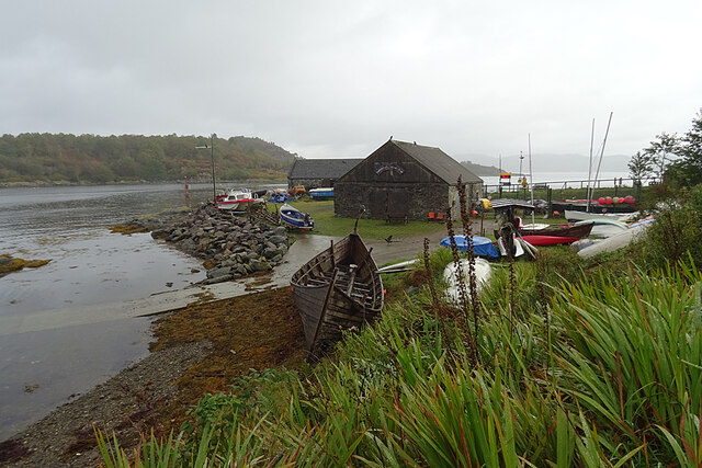
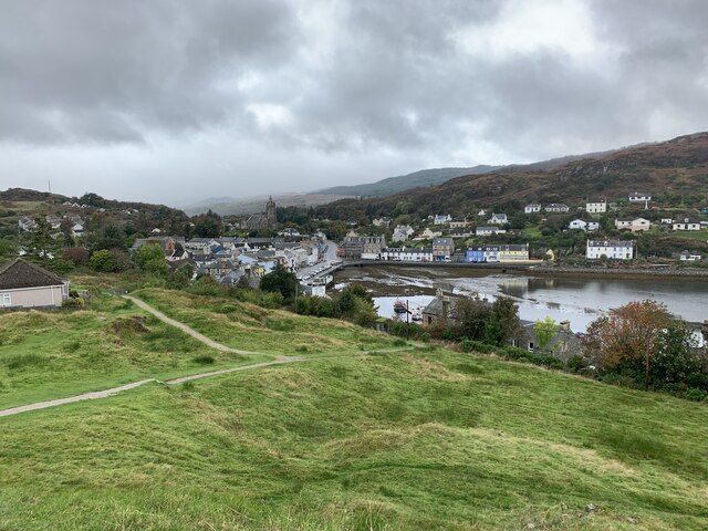
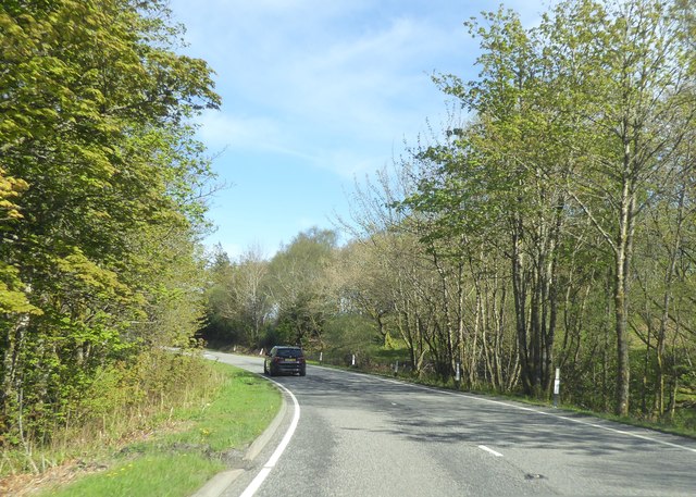
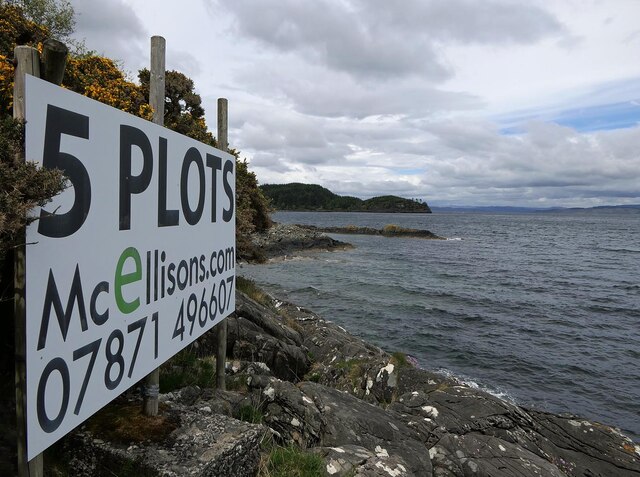
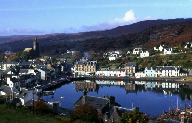
Cnoc a' Challa Images
Images are sourced within 2km of 55.863574/-5.4048182 or Grid Reference NR8768. Thanks to Geograph Open Source API. All images are credited.
Cnoc a' Challa is located at Grid Ref: NR8768 (Lat: 55.863574, Lng: -5.4048182)
Unitary Authority: Argyll and Bute
Police Authority: Argyll and West Dunbartonshire
What 3 Words
///inflating.spun.sleep. Near Tarbert, Argyll & Bute
Related Wikis

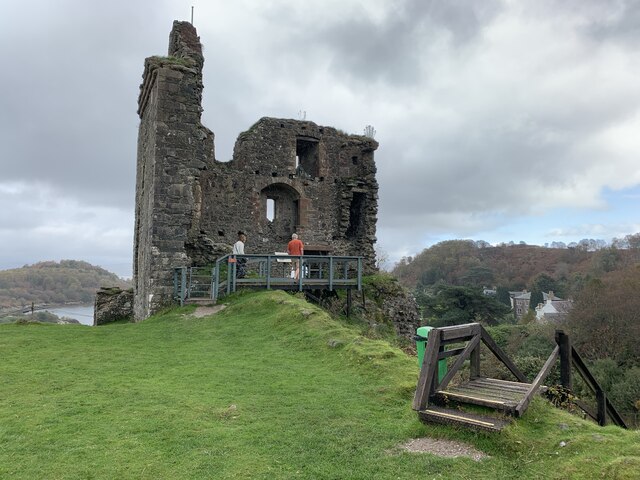
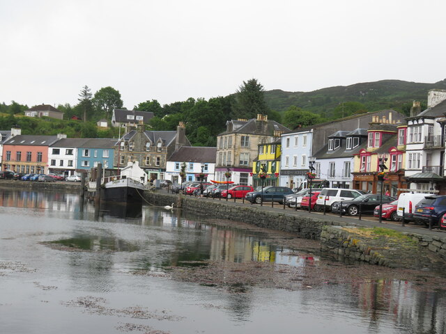
Tarbert Castle
Tarbert Castle is located on the southern shore of East Loch Tarbert, at Tarbert, Argyll, Scotland, at the north end of Kintyre. Tarbert Castle was a strategic...

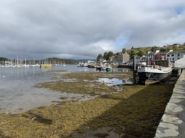
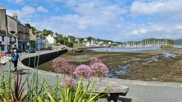
East Loch Tarbert, Argyll
East Loch Tarbert, Argyll is a small sea loch on the eastern side of the Kintyre peninsula in Scotland. It is a part of the much larger Loch Fyne. The...
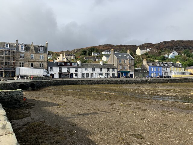
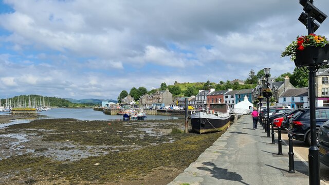
Tarbert, Kintyre
Tarbert (Scottish Gaelic: An Tairbeart, pronounced [ən̪ˠ ˈt̪ʰaɾʲapərˠʃt̪], or Tairbeart Loch Fìne to distinguish it from other places of the same name...

Barmore Island
Barmore Island is a peninsula in Scotland located on the east of Knapdale, in the council area of Argyll and Bute. It is 1 and a half miles north from...
Nearby Amenities
Located within 500m of 55.863574,-5.4048182Have you been to Cnoc a' Challa?
Leave your review of Cnoc a' Challa below (or comments, questions and feedback).