Madadh Maol
Coastal Feature, Headland, Point in Argyllshire
Scotland
Madadh Maol
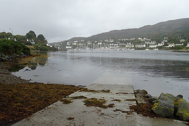
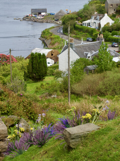
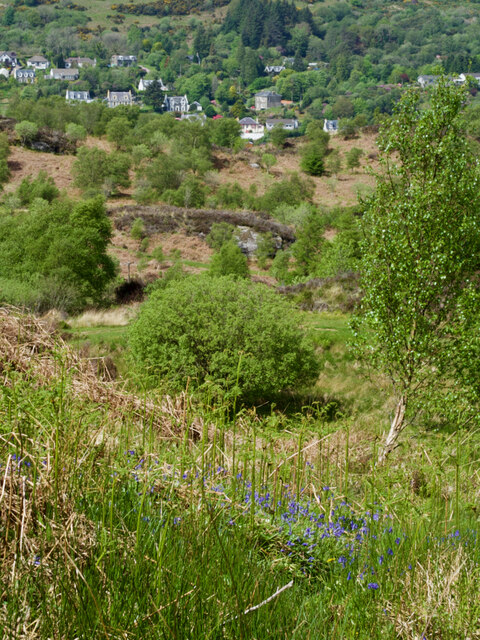
Madadh Maol is a prominent headland located in Argyllshire, Scotland. Situated on the west coast of the country, it is a well-known coastal feature that stretches out into the Atlantic Ocean. The headland is characterized by its rugged cliffs and rocky terrain, providing stunning views of the surrounding sea and landscape.
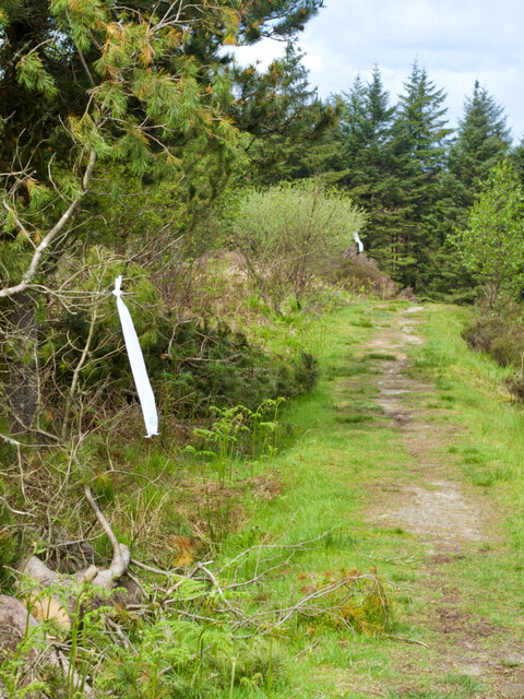
The name "Madadh Maol" is Gaelic and translates to "bald dog." This term may have been given to the headland due to its jagged appearance, resembling the profile of a dog's head. The area is a popular destination for hikers and nature enthusiasts, offering various walking trails that allow visitors to explore its stunning natural beauty.
The cliffs of Madadh Maol are home to a diverse range of seabirds, including puffins, razorbills, and guillemots. These species nest on the rocky ledges and provide a captivating spectacle during the breeding season. The headland also offers breathtaking views of the Atlantic Ocean, with its turquoise waters contrasting against the dramatic cliffs.
In addition to its natural beauty, Madadh Maol has a rich history. The headland is believed to have been inhabited since ancient times, with archaeological remains suggesting human activity dating back thousands of years. The area was likely used for fishing and gathering resources from the sea.
Overall, Madadh Maol is a captivating coastal feature in Argyllshire, offering stunning views, diverse wildlife, and a glimpse into Scotland's ancient past. Whether exploring its hiking trails or simply admiring its natural beauty, visitors are sure to be enchanted by this remarkable headland.
If you have any feedback on the listing, please let us know in the comments section below.
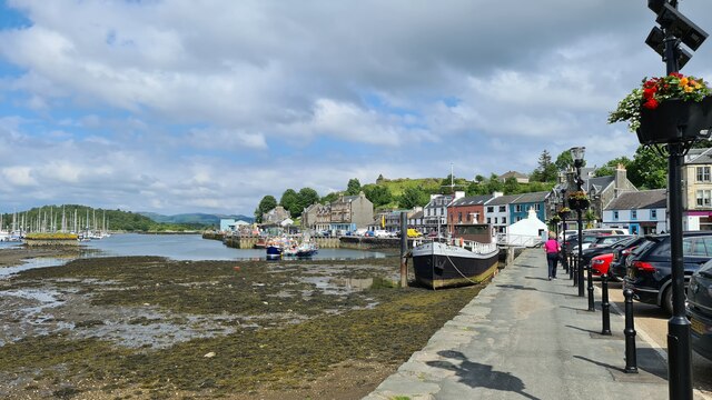
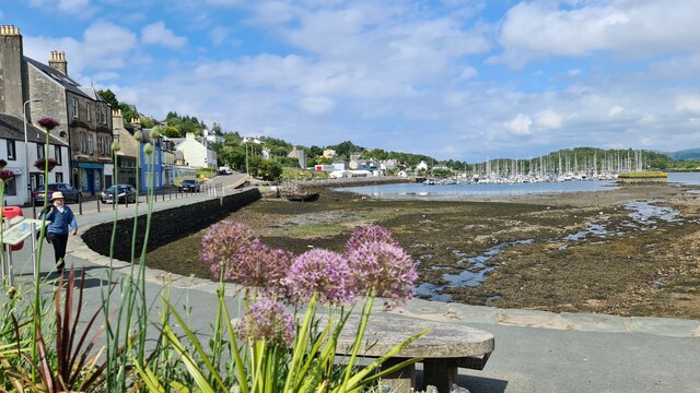
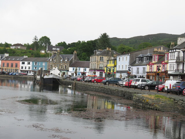
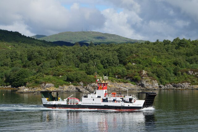
Madadh Maol Images
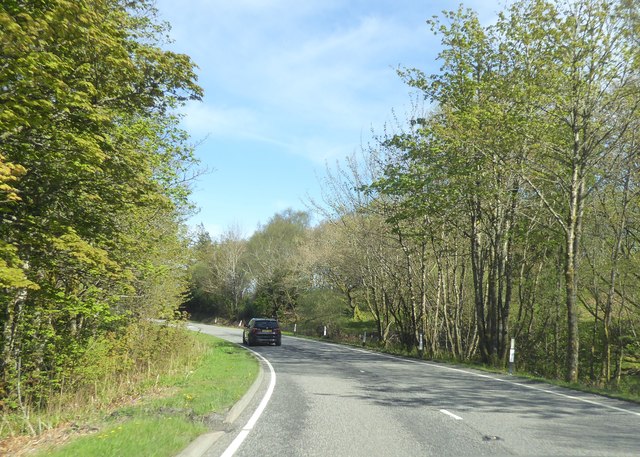
Images are sourced within 2km of 55.866859/-5.4040187 or Grid Reference NR8768. Thanks to Geograph Open Source API. All images are credited.

Madadh Maol is located at Grid Ref: NR8768 (Lat: 55.866859, Lng: -5.4040187)
Unitary Authority: Argyll and Bute
Police Authority: Argyll and West Dunbartonshire
What 3 Words
///flamingo.different.wiggles. Near Tarbert, Argyll & Bute
Related Wikis

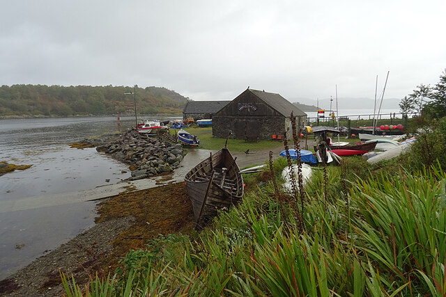
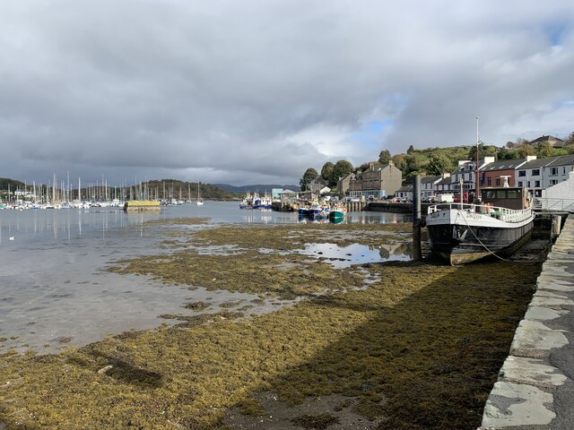
East Loch Tarbert, Argyll
East Loch Tarbert, Argyll is a small sea loch on the eastern side of the Kintyre peninsula in Scotland. It is a part of the much larger Loch Fyne. The...

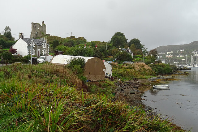
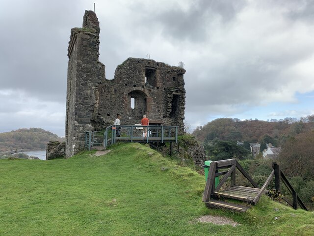
Tarbert Castle
Tarbert Castle is located on the southern shore of East Loch Tarbert, at Tarbert, Argyll, Scotland, at the north end of Kintyre. Tarbert Castle was a strategic...
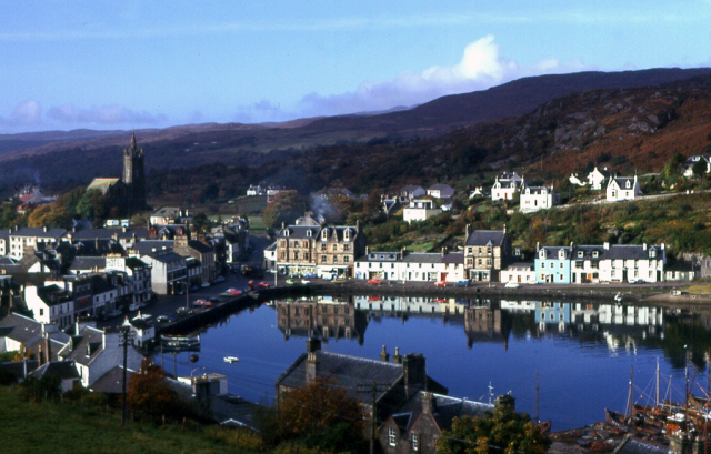
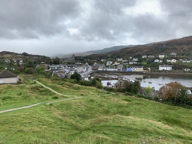
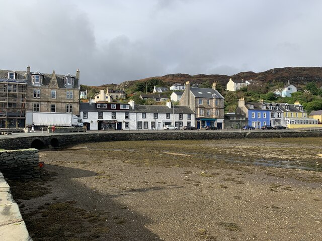
Tarbert, Kintyre
Tarbert (Scottish Gaelic: An Tairbeart, pronounced [ən̪ˠ ˈt̪ʰaɾʲapərˠʃt̪], or Tairbeart Loch Fìne to distinguish it from other places of the same name...

Barmore Island
Barmore Island is a peninsula in Scotland located on the east of Knapdale, in the council area of Argyll and Bute. It is 1 and a half miles north from...
Nearby Amenities
Located within 500m of 55.866859,-5.4040187Have you been to Madadh Maol?
Leave your review of Madadh Maol below (or comments, questions and feedback).