Rubha Loisgte
Coastal Feature, Headland, Point in Argyllshire
Scotland
Rubha Loisgte
The requested URL returned error: 429 Too Many Requests
If you have any feedback on the listing, please let us know in the comments section below.
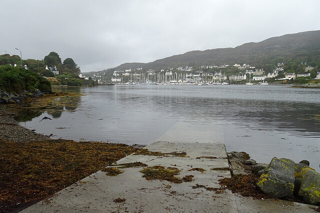
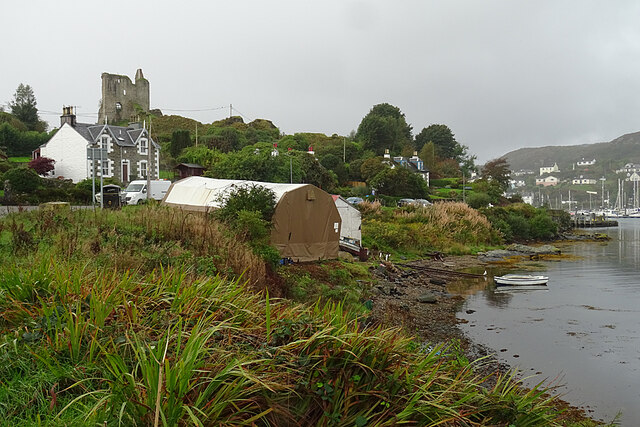
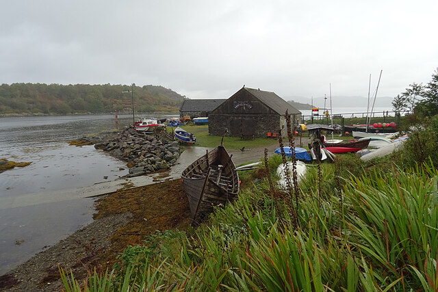
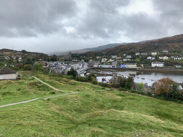
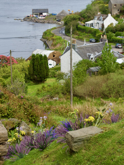
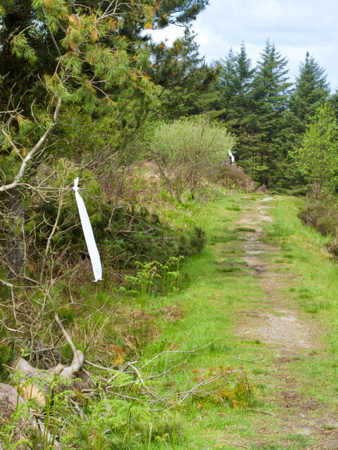
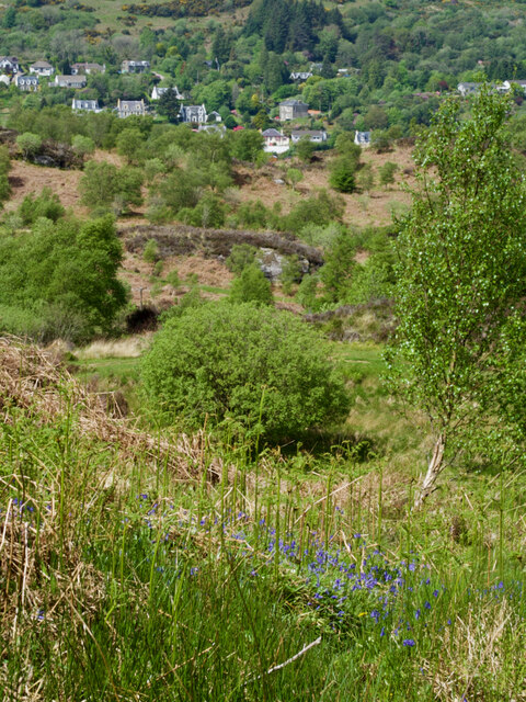
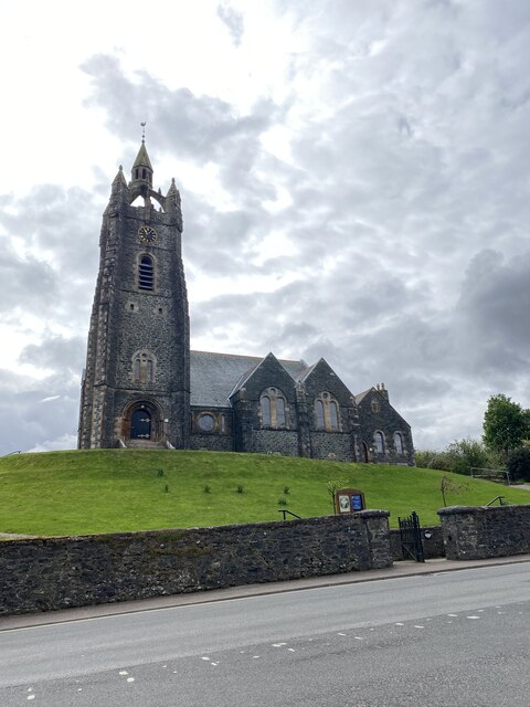
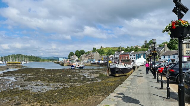
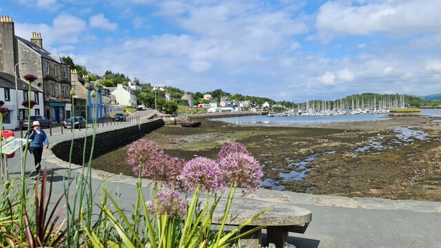
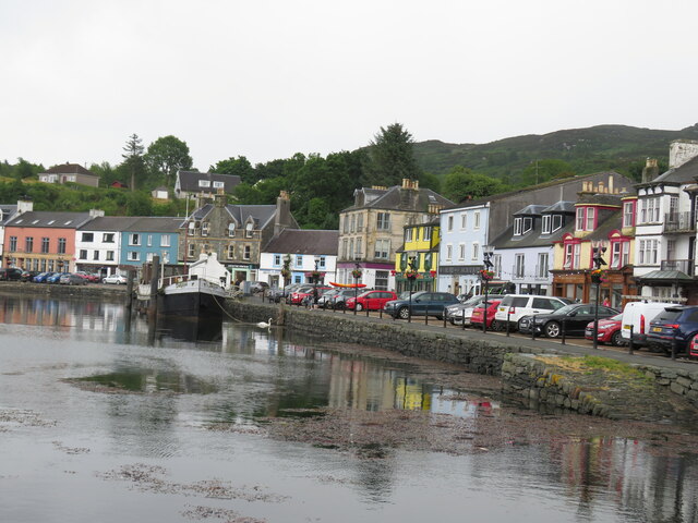
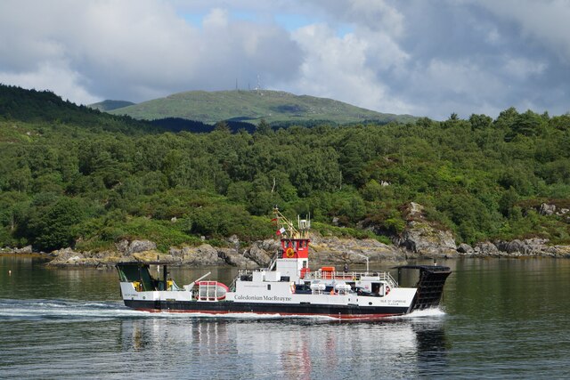
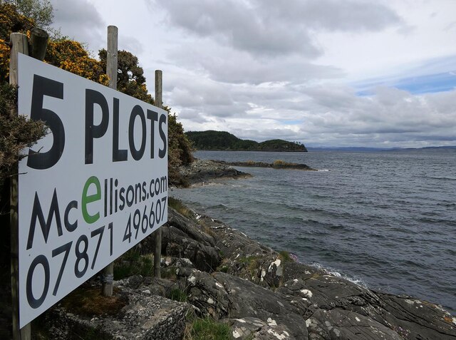
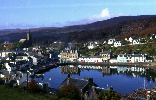
Rubha Loisgte Images
Images are sourced within 2km of 55.863743/-5.390572 or Grid Reference NR8768. Thanks to Geograph Open Source API. All images are credited.

Rubha Loisgte is located at Grid Ref: NR8768 (Lat: 55.863743, Lng: -5.390572)
Unitary Authority: Argyll and Bute
Police Authority: Argyll and West Dunbartonshire
What 3 Words
///bitter.instant.tango. Near Tarbert, Argyll & Bute
Related Wikis

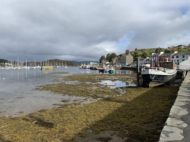
East Loch Tarbert, Argyll
East Loch Tarbert, Argyll is a small sea loch on the eastern side of the Kintyre peninsula in Scotland. It is a part of the much larger Loch Fyne. The...

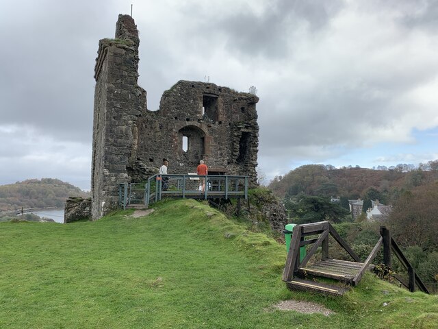
Tarbert Castle
Tarbert Castle is located on the southern shore of East Loch Tarbert, at Tarbert, Argyll, Scotland, at the north end of Kintyre. Tarbert Castle was a strategic...
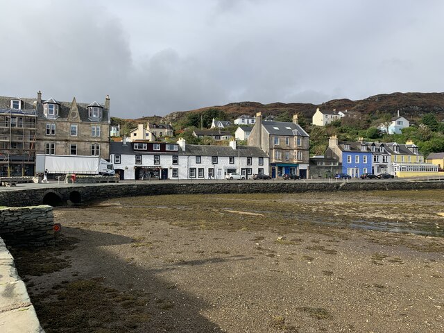
Tarbert, Kintyre
Tarbert (Scottish Gaelic: An Tairbeart, pronounced [ən̪ˠ ˈt̪ʰaɾʲapərˠʃt̪], or Tairbeart Loch Fìne to distinguish it from other places of the same name...

Barmore Island
Barmore Island is a peninsula in Scotland located on the east of Knapdale, in the council area of Argyll and Bute. It is 1 and a half miles north from...
Nearby Amenities
Located within 500m of 55.863743,-5.390572Have you been to Rubha Loisgte?
Leave your review of Rubha Loisgte below (or comments, questions and feedback).