Little Wick
Coastal Marsh, Saltings in Pembrokeshire
Wales
Little Wick

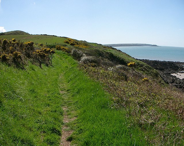
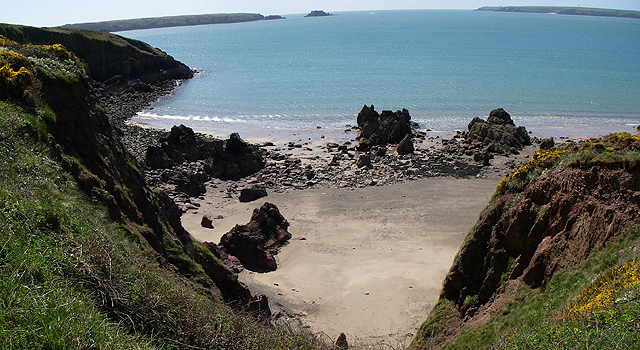
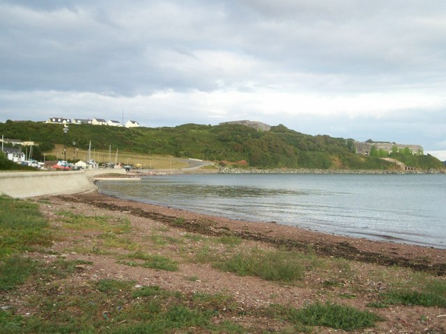
Little Wick is a small coastal marsh located in Pembrokeshire, Wales. Situated near the village of St Ishmaels, it is a picturesque area known for its beautiful salt marshes and saltings. The marshes are an important part of the local ecosystem and are teeming with a wide variety of plant and animal life.
The marshes at Little Wick are surrounded by tidal water, making it a unique and ever-changing landscape. The area is characterized by its tall grasses, reeds, and salt-tolerant plants such as sea lavender and samphire. These plants provide habitat and food for a range of bird species, including herons, curlews, and redshanks, which can often be seen wading in the shallow waters.
The marshes also serve as a breeding ground for several species of fish, including flounder and sea bass. These fish attract larger predators such as otters and seals, which can occasionally be spotted in the area. The marshes are also home to a diverse range of invertebrates, including crabs, shrimps, and various species of mollusks.
Little Wick is a popular destination for nature enthusiasts and birdwatchers, who come to observe the unique flora and fauna that thrive in this coastal environment. The area is accessible via footpaths and offers stunning views of the surrounding coastline. Its tranquil atmosphere and diverse wildlife make it a peaceful and captivating place to visit.
If you have any feedback on the listing, please let us know in the comments section below.
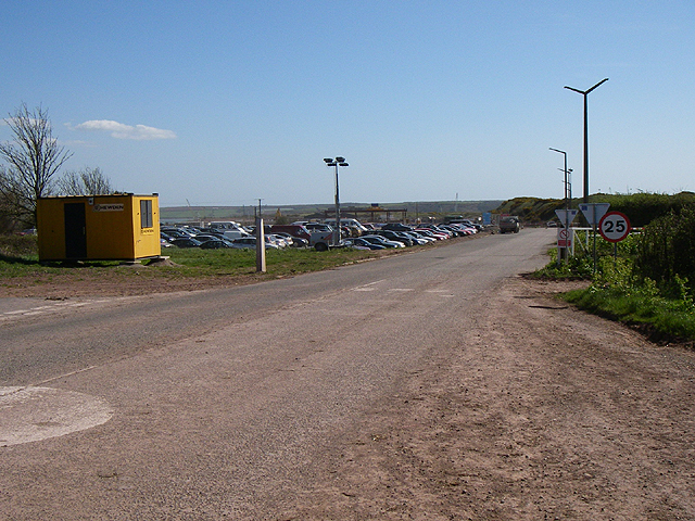
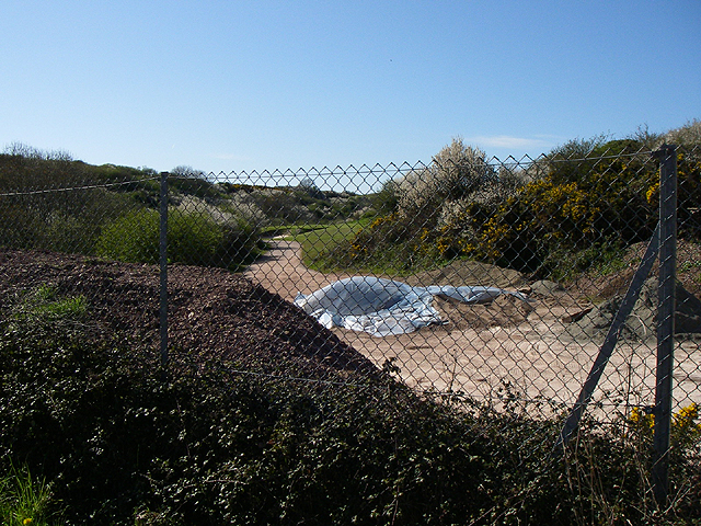
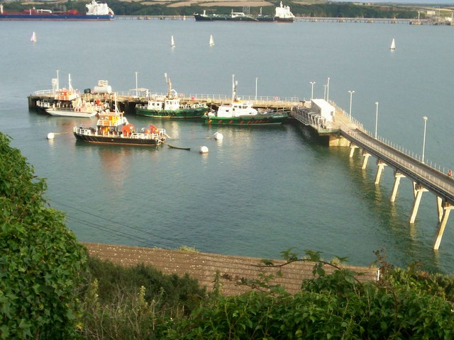
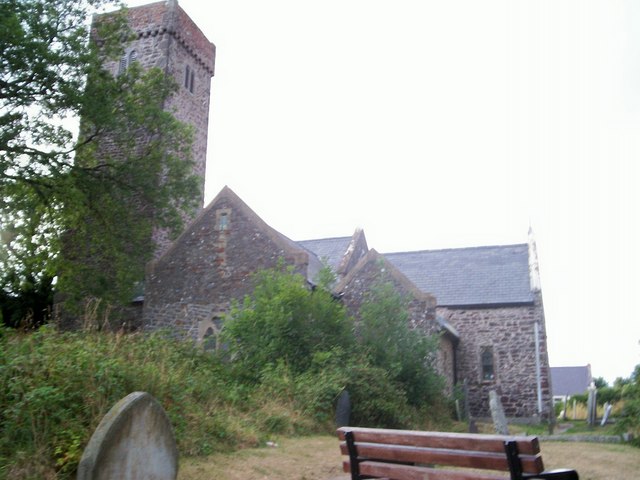
Little Wick Images
Images are sourced within 2km of 51.707138/-5.0782121 or Grid Reference SM8705. Thanks to Geograph Open Source API. All images are credited.


Little Wick is located at Grid Ref: SM8705 (Lat: 51.707138, Lng: -5.0782121)
Unitary Authority: Pembrokeshire
Police Authority: Dyfed Powys
What 3 Words
///conquests.farmland.outcasts. Near Herbrandston, Pembrokeshire
Nearby Locations
Related Wikis

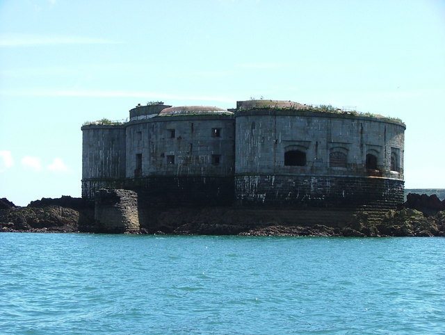
South Hook Fort
South Hook Fort, on the northern shore of Milford Haven, Pembrokeshire, is a Grade II*-listed building which belongs to a series of forts built as part...

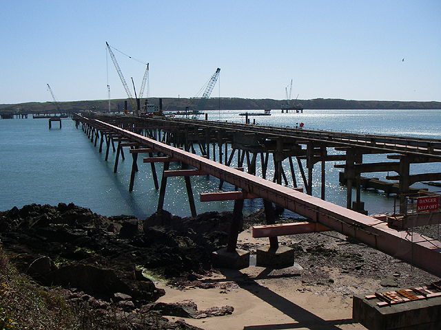
Esso Refinery, Milford Haven
The Esso Refinery at Milford Haven was an oil refinery situated on the Pembrokeshire coast in Wales. Construction started in 1957 and the refinery was...

Stack Rock Fort
Stack Rock Fort is a fort built on a small island in the Milford Haven Waterway, Pembrokeshire, Wales. A 3-gun fort was built between 1850 and 1852, and...
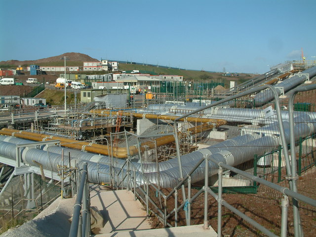
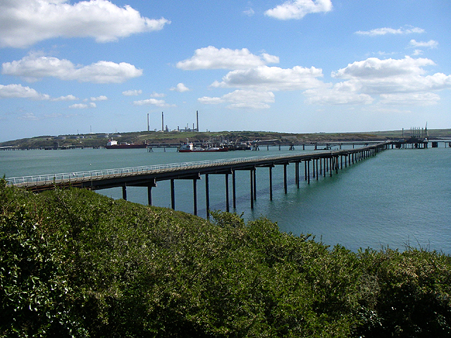
South Hook LNG terminal
South Hook LNG terminal is an LNG regasification terminal near Milford Haven and is the largest LNG terminal in Europe. Together with the smaller Dragon...
Nearby Amenities
Located within 500m of 51.707138,-5.0782121Have you been to Little Wick?
Leave your review of Little Wick below (or comments, questions and feedback).