Amsterdam Point
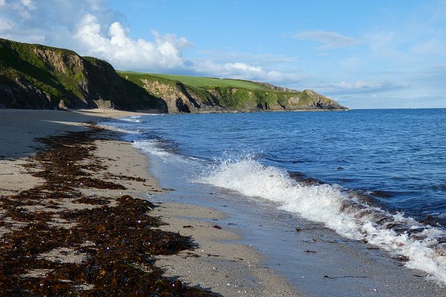
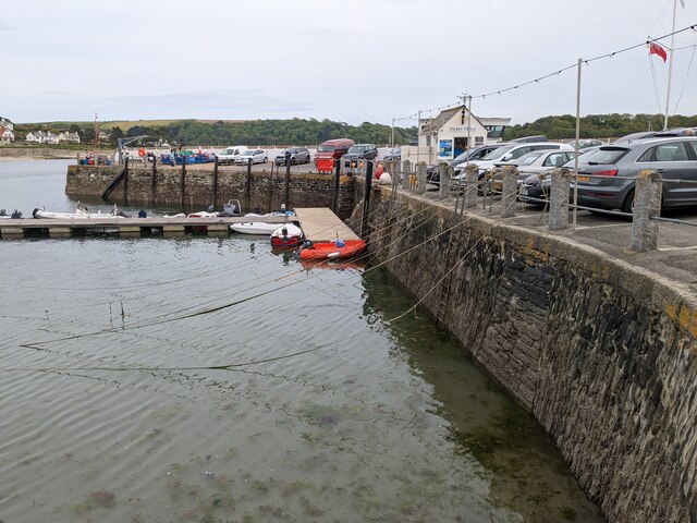
Coastal Marsh, Saltings in Cornwall
England
Amsterdam Point
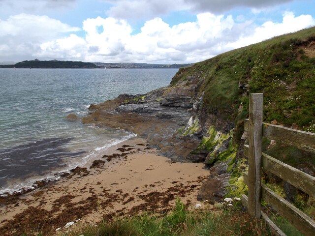
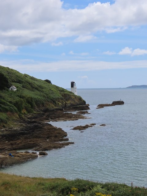
Amsterdam Point, located in Cornwall, England, is a picturesque coastal marshland that boasts a unique ecosystem known as saltings. This stunning natural site is situated at the confluence of the River Camel and the Atlantic Ocean, making it a haven for various species of plants and animals.
The marshland of Amsterdam Point is characterized by its vast expanses of salt-tolerant vegetation, including sea lavender, glasswort, and saltmarsh grasses. These plants have adapted to the harsh saline conditions, creating a diverse and vibrant habitat that attracts a wide range of bird species. Visitors to Amsterdam Point can observe rare and migratory birds such as curlews, redshanks, and oystercatchers, which find solace and sustenance in the rich marshland.
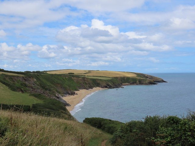
The natural beauty of Amsterdam Point is further enhanced by its breathtaking coastal views. The meeting point of the river and the ocean creates a dynamic landscape with ever-changing tidal patterns. During high tide, the marshland is partially submerged, transforming the area into a shimmering expanse of water. At low tide, the mud flats are exposed, revealing a fascinating array of marine life, including crabs, snails, and various species of fish.
Amsterdam Point is not only a haven for wildlife enthusiasts but also a popular destination for nature lovers and hikers. The area offers well-maintained walking trails that meander through the marshland, providing visitors with an up-close experience of this unique ecosystem. Interpretive signs along the way provide educational information about the flora, fauna, and geological features of the site.
Overall, Amsterdam Point in Cornwall is a true gem for those seeking a serene and captivating coastal experience. Its diverse ecosystem, stunning views, and accessibility make it a must-visit destination for anyone with an appreciation for the natural world.
If you have any feedback on the listing, please let us know in the comments section below.
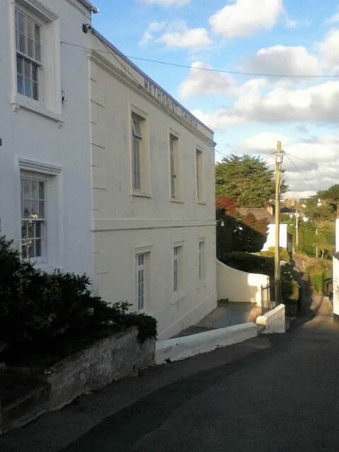
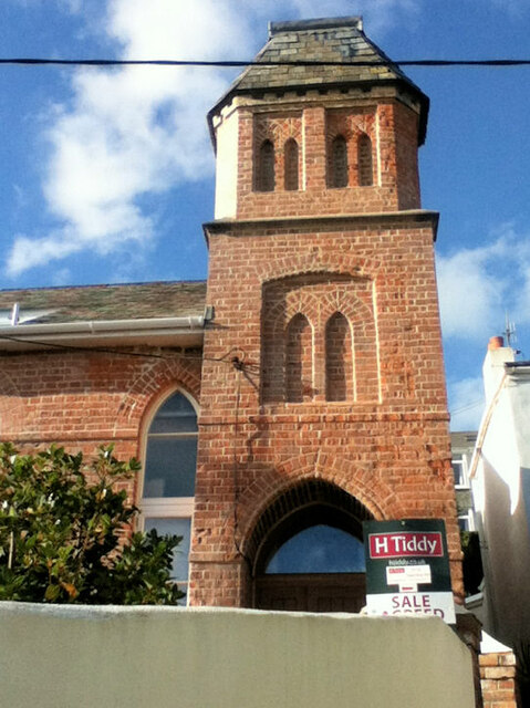
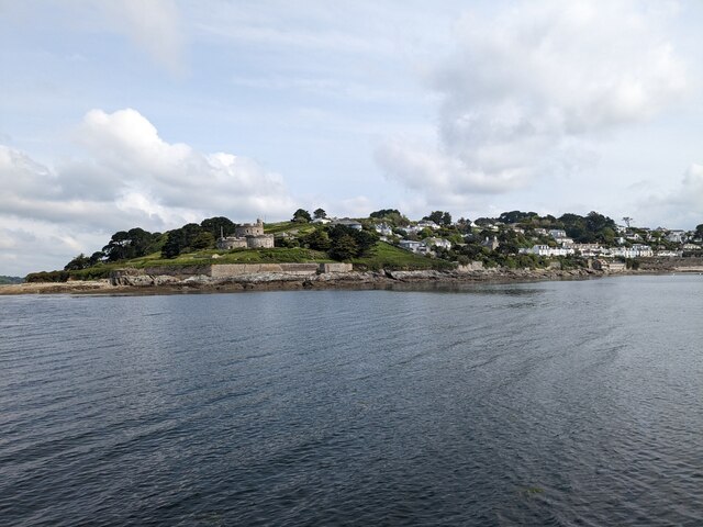
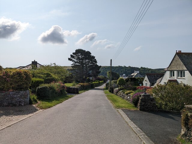
Amsterdam Point Images
Images are sourced within 2km of 50.154002/-5.008732 or Grid Reference SW8532. Thanks to Geograph Open Source API. All images are credited.
Amsterdam Point is located at Grid Ref: SW8532 (Lat: 50.154002, Lng: -5.008732)
Unitary Authority: Cornwall
Police Authority: Devon and Cornwall
What 3 Words
///drumbeat.dash.layover. Near Portscatho, Cornwall
Nearby Locations
Related Wikis

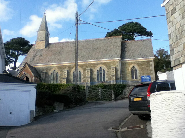
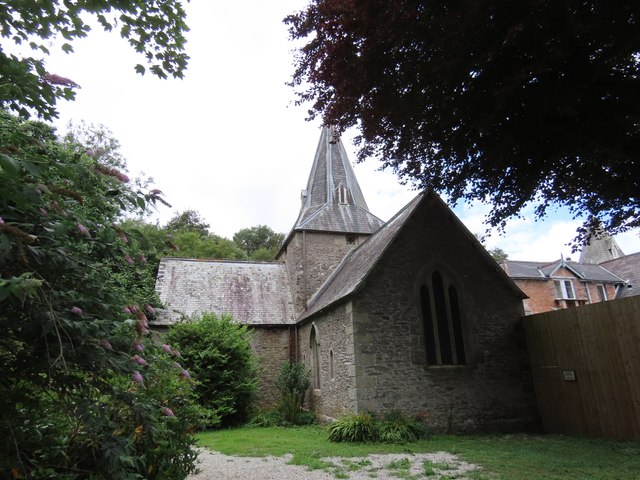
St Mawes' Church, St Mawes
St Mawes’ Church is a Grade II listed parish church in the Church of England Diocese of Truro in St Mawes, Cornwall, England, UK. == History == The name...

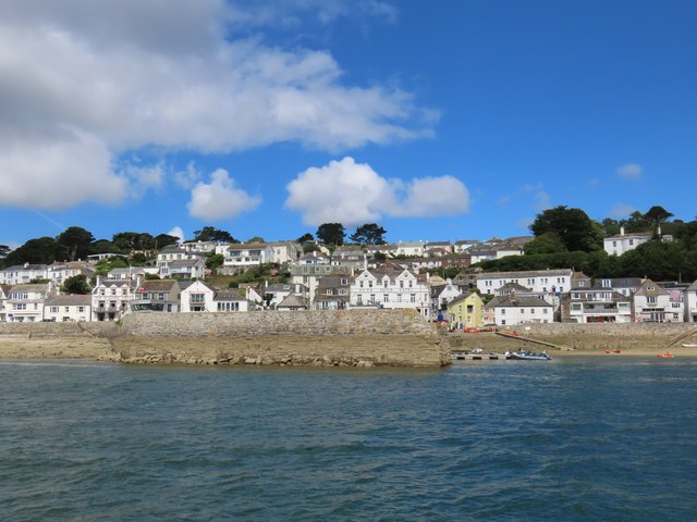
St Mawes
St Mawes' (Cornish: Lannvowsedh) is a village on the end of the Roseland Peninsula, in the eastern side of Falmouth harbour, on the south coast of Cornwall...
St Anthony in Roseland
St Anthony in Roseland is a village and a former parish in Cornwall, England, in the United Kingdom. It is a small settlement on the Roseland Peninsula...

Percuil River
The Percuil River is an estuary and stream draining the southern part of the Roseland Peninsula of Cornwall, UK and is one of three major tidal creeks...

Bohortha
Bohortha (Cornish: Buorthow) is a coastal village in south Cornwall, England, United Kingdom. It is situated on the east side of the Roseland Peninsula...
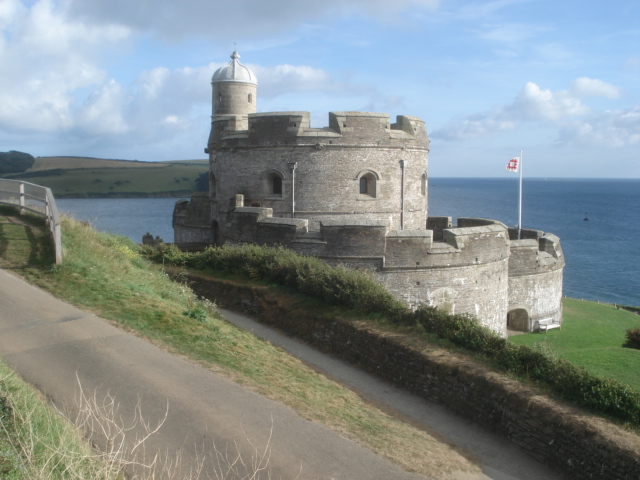
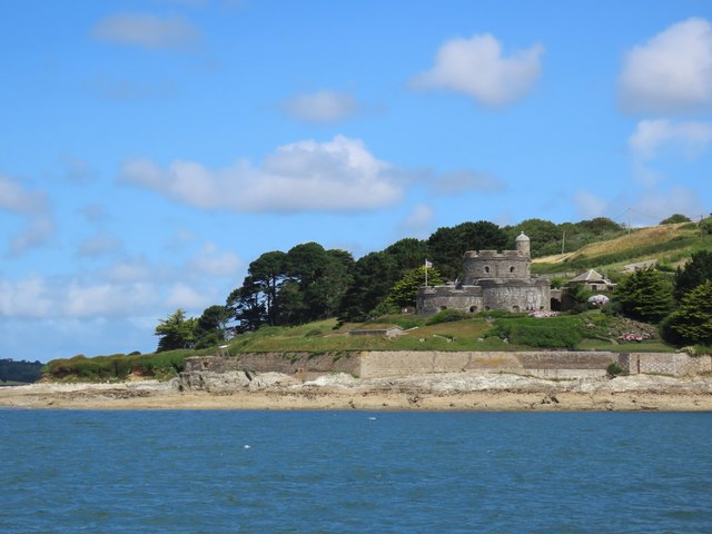
St Mawes Castle
St Mawes Castle (Cornish: Kastel Lannvowsedh) is an artillery fort constructed by Henry VIII near Falmouth, Cornwall, between 1540 and 1542. It formed...

St Anthony Head
St Anthony Head is a National Trust property situated at the southernmost tip of the Roseland Peninsula, Cornwall, England, United Kingdom, overlooking...
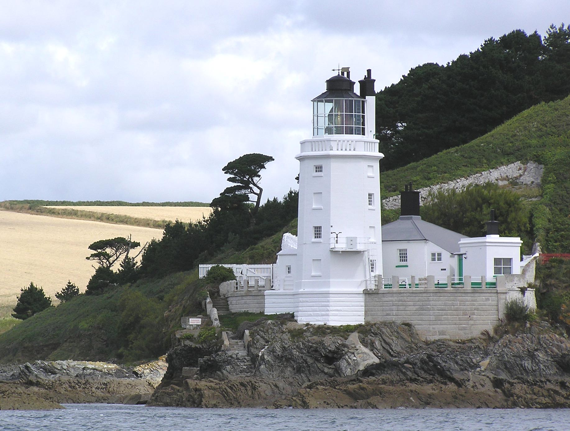
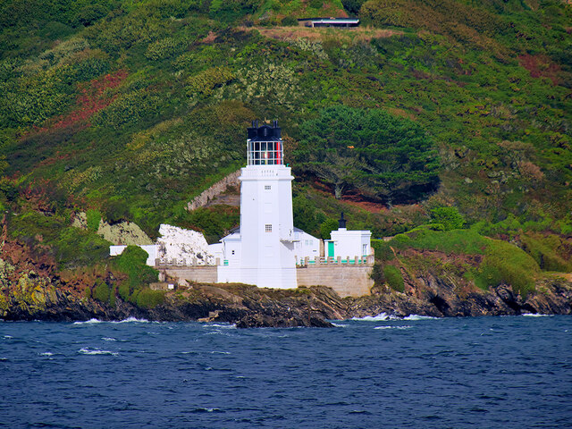
St Anthony's Lighthouse
St Anthony's Lighthouse (Cornish: Golowji Entenin) is the lighthouse at St Anthony Head, on the eastern side of the entrance to Falmouth harbour, Cornwall...
Nearby Amenities
Located within 500m of 50.154002,-5.008732Have you been to Amsterdam Point?
Leave your review of Amsterdam Point below (or comments, questions and feedback).