Drawler
Coastal Marsh, Saltings in Cornwall
England
Drawler
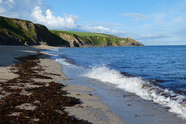
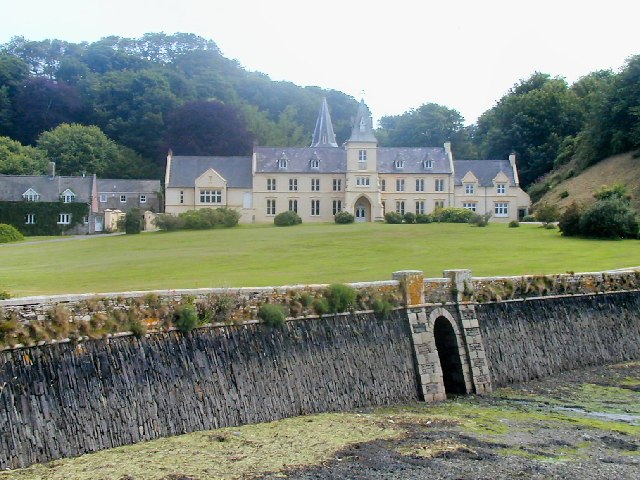
Drawler, Cornwall is a picturesque coastal marsh located in the southwestern region of England. Known for its stunning natural beauty and unique ecosystem, this area is primarily comprised of expansive salt marshes and saltings. The marshes are formed by the tidal flows of the nearby sea, which create a diverse habitat for various plant and animal species.
The landscape of Drawler is characterized by vast stretches of salt-tolerant grasses and reeds that cover the marshes. These marshes are home to many wetland bird species, such as sandpipers, redshanks, and herons, which thrive in the rich feeding grounds provided by the marshes' abundant insect life.
The salty water that floods the marshes during high tide creates a dynamic environment that supports a unique array of marine organisms. It is a haven for crustaceans, shellfish, and small fish species, which attract larger predators like seals and otters.
The coastal marsh is also an important site for conservation efforts, as it provides a sanctuary for rare and endangered plant species. The area's dunes and salt pans are home to plants such as sea lavender and sea aster, which have adapted to the harsh saline environment.
Drawler, Cornwall offers visitors a chance to immerse themselves in the tranquility of nature, with its breathtaking views and peaceful atmosphere. It is a popular destination for birdwatchers, nature enthusiasts, and photographers who are drawn to the area's rich biodiversity and stunning landscapes.
If you have any feedback on the listing, please let us know in the comments section below.
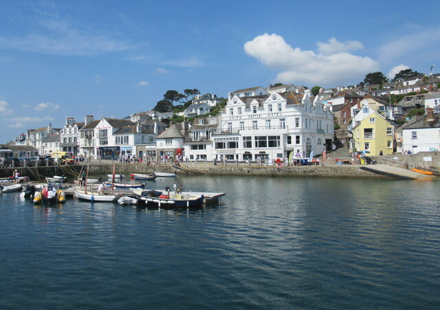
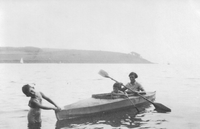
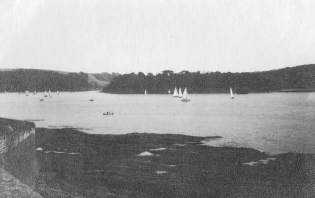
Drawler Images
Images are sourced within 2km of 50.155274/-5.001307 or Grid Reference SW8532. Thanks to Geograph Open Source API. All images are credited.


Drawler is located at Grid Ref: SW8532 (Lat: 50.155274, Lng: -5.001307)
Unitary Authority: Cornwall
Police Authority: Devon and Cornwall
What 3 Words
///searching.boater.towel. Near Portscatho, Cornwall
Nearby Locations
Related Wikis

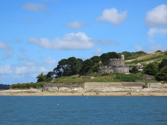
Bohortha
Bohortha (Cornish: Buorthow) is a coastal village in south Cornwall, England, United Kingdom. It is situated on the east side of the Roseland Peninsula...
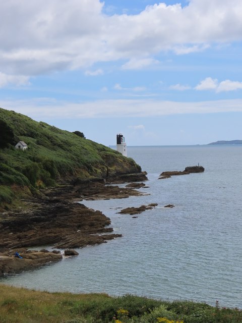
St Anthony in Roseland
St Anthony in Roseland is a village and a former parish in Cornwall, England, in the United Kingdom. It is a small settlement on the Roseland Peninsula...

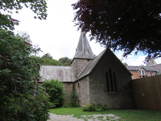
St Mawes' Church, St Mawes
St Mawes’ Church is a Grade II listed parish church in the Church of England Diocese of Truro in St Mawes, Cornwall, England, UK. == History == The name...

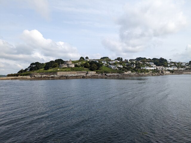
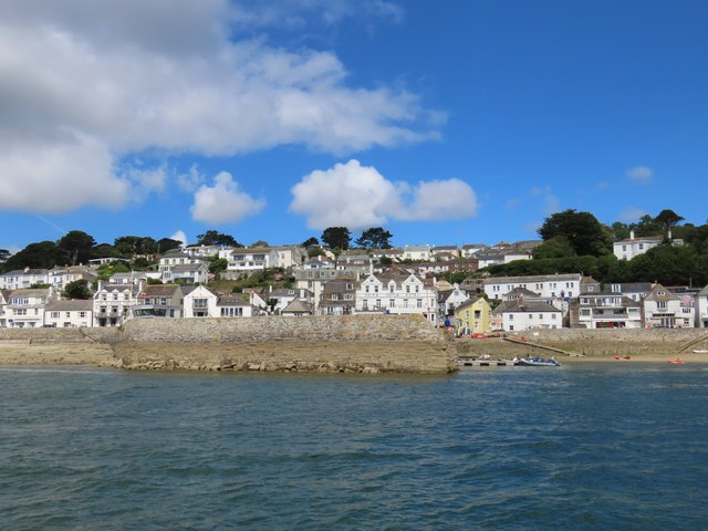
St Mawes
St Mawes' (Cornish: Lannvowsedh) is a village on the end of the Roseland Peninsula, in the eastern side of Falmouth harbour, on the south coast of Cornwall...
Nearby Amenities
Located within 500m of 50.155274,-5.001307Have you been to Drawler?
Leave your review of Drawler below (or comments, questions and feedback).