Black Rock

Coastal Marsh, Saltings in Cornwall

England

Black Rock

Arriving by ferry at St Mawes
Arriving by ferry at St Mawes Credit: Roy Hughes

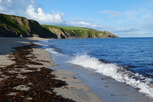
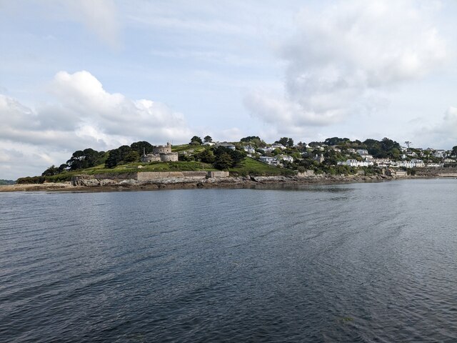
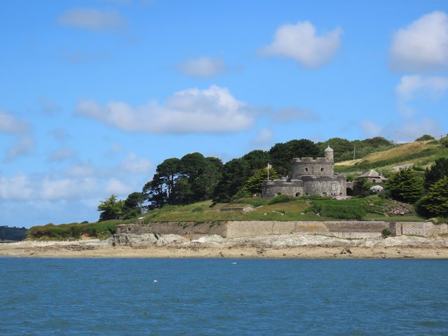
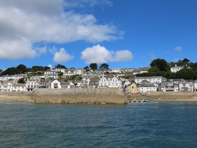
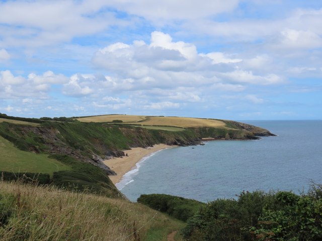
Black Rock is a coastal marsh located in Cornwall, England. Situated on the southern coast of the county, it is known for its distinctive saltings. The marsh is characterized by its salt-tolerant plants and its proximity to the Atlantic Ocean.

Covering an area of approximately 200 hectares, Black Rock is an important ecological site due to its diverse range of flora and fauna. The marsh is home to a variety of bird species, including waders such as redshanks, dunlins, and oystercatchers. These birds can often be seen foraging for food in the muddy creeks and shallow pools that form along the marsh's edge.

The vegetation in Black Rock consists of saltmarsh grasses, samphire, and sea lavender, which thrive in the saline environment. These plants play a crucial role in stabilizing the marshland and providing habitat for numerous invertebrates, including crabs and snails.

Visitors to Black Rock can enjoy walks along the designated footpaths that wind through the marsh, providing panoramic views of the surrounding landscape. The area is also popular among birdwatchers and nature enthusiasts, who flock to the marsh to observe the unique wildlife.

As a protected site, Black Rock is managed by local conservation organizations to ensure the preservation of its fragile ecosystem. Efforts are made to control invasive species and maintain the delicate balance between human activities and the natural environment.

Overall, Black Rock in Cornwall offers a tranquil and picturesque setting, showcasing the beauty and diversity of coastal marshes and saltings in the region.

If you have any feedback on the listing, please let us know in the comments section below.
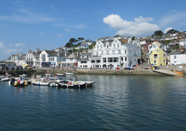
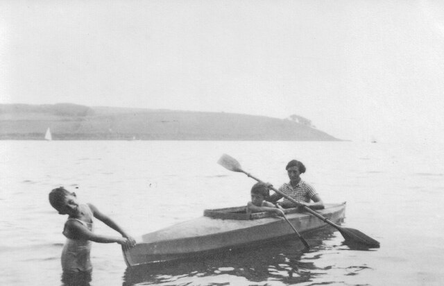
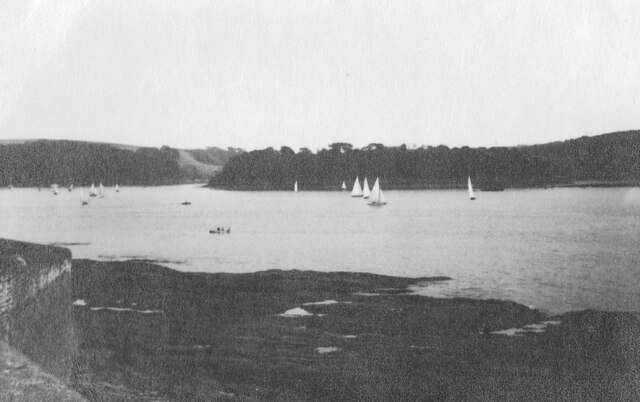
Black Rock Images

Images are sourced within 2km of 50.156744/-5.0008111 or Grid Reference SW8532. Thanks to Geograph Open Source API. All images are credited.

Arriving by ferry at St Mawes
Folbot folding canoe, St Mawes 1938 Folding canoes of fabric over a frame originated with Inuit kayaks. Commercial ones started in Germany with Klepper's Faltboot in 1908. In the UK Jack Kissner started making the Folbot in 1933, and the company continued to 2016. In World War 2 Special Forces used folding canoes, known as cockles, the first ones were based on the Folbot design.
The Folbot in the photo is on Tavern Beach; the photographer was on holiday in "Our Cottage" in Lower Castle Road, just above the beach.
View towards Carricknath Point, as shown in <a href="https://www.geograph.org.uk/photo/29338">SW8432 : Carricknath Point</a>, also a view from St Mawes.
Folbot folding canoe, St Mawes 1938
Folding canoes of fabric over a frame originated with Inuit kayaks. Commercial ones started in Germany with Klepper's Faltboot in 1908. In the UK Jack Kissner started making the Folbot in 1933, and the company continued to 2016. In World War 2 Special Forces used folding canoes, known as cockles, the first ones were based on the Folbot design. The Folbot in the photo is on Tavern Beach; the photographer was on holiday in "Our Cottage" in Lower Castle Road, just above the beach. View towards Carricknath Point, as shown in SW8432 : Carricknath Point, also a view from St Mawes.
Tavern Beach St Mawes with yachts on harbour, 1938 Photo from Lower Castle Road where the photographer was on holiday in "Our Cottage". The sea wall beside the road is seen on the left. Across the estuary is the coast from Carricknath Point to St. Anthony.  A similar recent view is <a href="https://www.geograph.org.uk/photo/774705">SW8432 : St Mawes Harbour, Roseland, Cornwall taken 1964</a>.
Tavern Beach St Mawes with yachts on harbour, 1938
Photo from Lower Castle Road where the photographer was on holiday in "Our Cottage". The sea wall beside the road is seen on the left. Across the estuary is the coast from Carricknath Point to St. Anthony. A similar recent view is SW8432 : St Mawes Harbour, Roseland, Cornwall taken 1964.
Porthbeor Beach, Gerrans The tide was quite well in with relatively little of the beach exposed.  Access down a steep path is discouraged by the National Trust due to the risk of rockfalls.
Porthbeor Beach, Gerrans
The tide was quite well in with relatively little of the beach exposed. Access down a steep path is discouraged by the National Trust due to the risk of rockfalls.
The Percuil River, Gerrans A view from the riverside footpath above Precuil to steep pastures on the St Just side.
The Percuil River, Gerrans
A view from the riverside footpath above Precuil to steep pastures on the St Just side.
Farmland, Gerrans Fields of barley beside the road above Percuil.
Farmland, Gerrans
Fields of barley beside the road above Percuil.
St Mawes Parish Church
Catholic Church of Our Lady Star of the Sea and St Anthony
Former Wesleyan Methodist Chapel
Former Congregational chapel
St Mawes Castle
St Mawes Castle
Pedn-Moran Road
Pedn-Moran Road
St Mawes Quay
St Mawes Quay
St Mawes Castle
St Mawes Castle
St Mawes Quay
St Mawes Quay
St Anthony-in-Roseland Church
Path towards Porthbeor Beach
Porthbeor Beach
Porthbeor Beach
Show me another place!

Black Rock is located at Grid Ref: SW8532 (Lat: 50.156744, Lng: -5.0008111)

Unitary Authority: Cornwall

Police Authority: Devon and Cornwall

What 3 Words

///dominate.entitles.angel. Near Portscatho, Cornwall

Related Wikis

Bohortha

Bohortha (Cornish: Buorthow) is a coastal village in south Cornwall, England, United Kingdom. It is situated on the east side of the Roseland Peninsula...

St Anthony in Roseland

St Anthony in Roseland is a village and a former parish in Cornwall, England, in the United Kingdom. It is a small settlement on the Roseland Peninsula...

Roseland Peninsula

The Roseland Peninsula, or just Roseland, (Cornish: Ros, meaning promontory) is a district of west Cornwall, England. Roseland is located in the south...

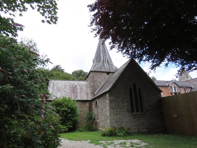
St Mawes' Church, St Mawes

St Mawes’ Church is a Grade II listed parish church in the Church of England Diocese of Truro in St Mawes, Cornwall, England, UK. == History == The name...

Nearby Amenities

Located within 500m of 50.156744,-5.0008111
Source: PGS
Lat/Long: 50.1566067/-5.0069633
Source: PGS
Lat/Long: 50.1565362/-5.0068986
Source: PGS
Lat/Long: 50.1565121/-5.0063897
Source: PGS
Lat/Long: 50.1565725/-5.0056535
Source: PGS
Lat/Long: 50.1569162/-5.0049903
Source: PGS
Lat/Long: 50.1584402/-5.0042564
Source: PGS
Lat/Long: 50.1585627/-5.0041972
Source: PGS
Lat/Long: 50.1593225/-5.004904
Source: PGS
Lat/Long: 50.1600005/-5.0049587
Bench
Lat/Long: 50.1572761/-4.9993058
Barrier: stile
Lat/Long: 50.1584238/-4.9994096
Bench
Backrest: no
Material: wood
Seats: 4
Survey Date: 2023-05-20
Lat/Long: 50.159774/-4.9997041
Bench
Backrest: no
Material: wood
Seats: 4
Survey Date: 2023-05-20
Lat/Long: 50.1532869/-5.0034443
Bench
Backrest: yes
Material: wood
Seats: 4
Lat/Long: 50.1543251/-5.0021544
Bench
Backrest: no
Material: wood
Seats: 4
Survey Date: 2023-05-20
Lat/Long: 50.1553838/-5.0003543
Leisure: slipway
Lat/Long: 50.1588474/-5.004392
Leisure: slipway
Lat/Long: 50.1574249/-5.0044046
Bus Stop
Buckeys Lane
Bench: no
Bin: no
Bus: yes
Lit: yes
Name En: Buckeys Lane
Naptan AdministrativeAreaCode: 73
Naptan AtcoCode: 0800COA15877
Naptan Bearing: NW
Naptan BusStopType: CUS
Naptan CommonName: Buckeys Lane
Naptan Indicator: NW-bound
Naptan LocalityName: St Mawes
Naptan NaptanCode: corgmata
Naptan NptgLocalityCode: E0002956
Naptan RegionCode: corgmata
Naptan Verified: no
Public Transport: platform
Shelter: no
Source: bing;naptan
Tactile Paving: no
Lat/Long: 50.1586203/-5.0066009
Barrier: stile
Lat/Long: 50.1551931/-4.9995682
Bus Stop
Buckeys Lane
Bench: no
Bin: no
Bus: yes
Lit: yes
Naptan AdministrativeAreaCode: 73
Naptan AtcoCode: 0800COA15878
Naptan Bearing: SE
Naptan BusStopType: CUS
Naptan CommonName: Buckeys Lane
Naptan Indicator: SE-bound
Naptan LocalityName: St Mawes
Naptan NptgLocalityCode: E0002956
Naptan RegionCode: corgmatd
Naptan Verified: no
Public Transport: platform
Shelter: no
Tactile Paving: no
Lat/Long: 50.1586658/-5.0063167
Waste Basket
Survey Date: 2024-02-24
Waste: dog_excrement
Lat/Long: 50.1588976/-5.004883
Fire Hydrant
Emergency: fire_hydrant
Fire Hydrant Diameter: 100
Fire Hydrant Position: lane
Fire Hydrant Type: underground
Survey Date: 2024-02-24
Waste: dog_excrement
Lat/Long: 50.1571739/-5.0066075
The data included in this document is from www.openstreetmap.org. The data is made available under ODbL.

Have you been to Black Rock?

Leave your review of Black Rock below (or comments, questions and feedback).