Cellars Beach
Beach in Cornwall
England
Cellars Beach
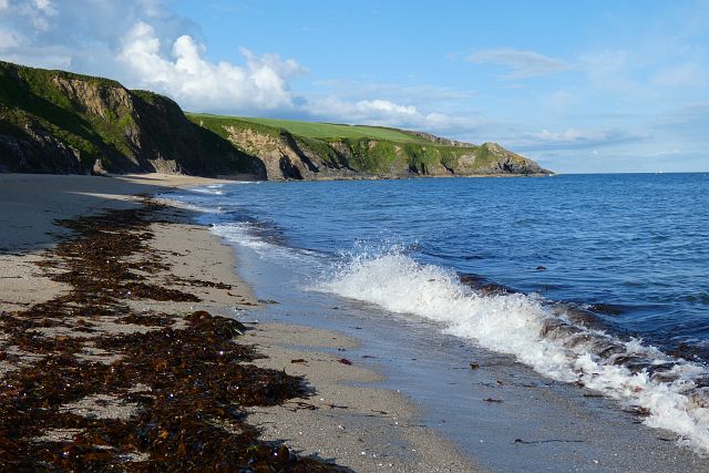
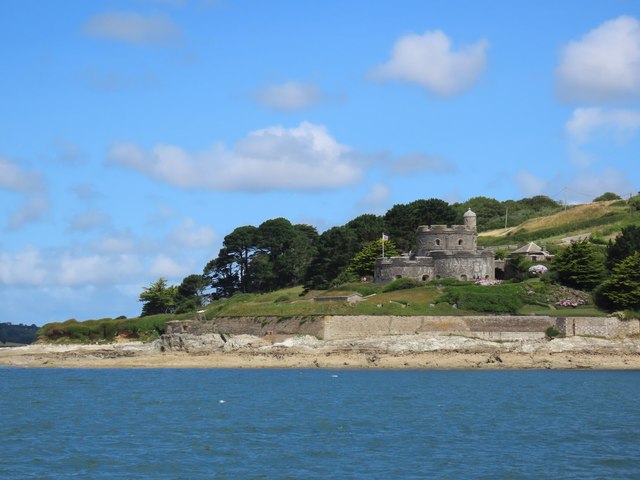
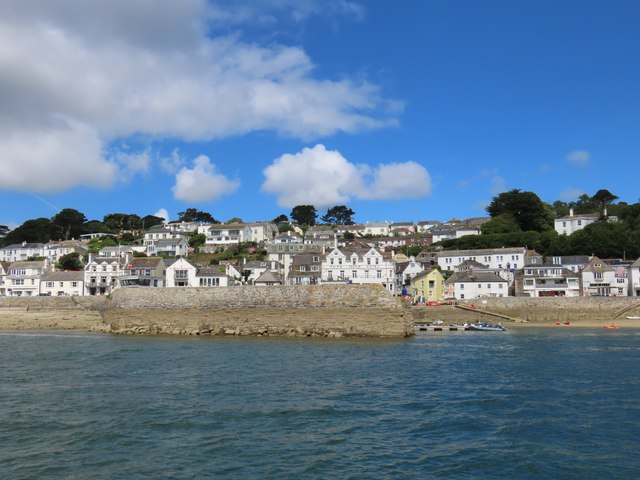
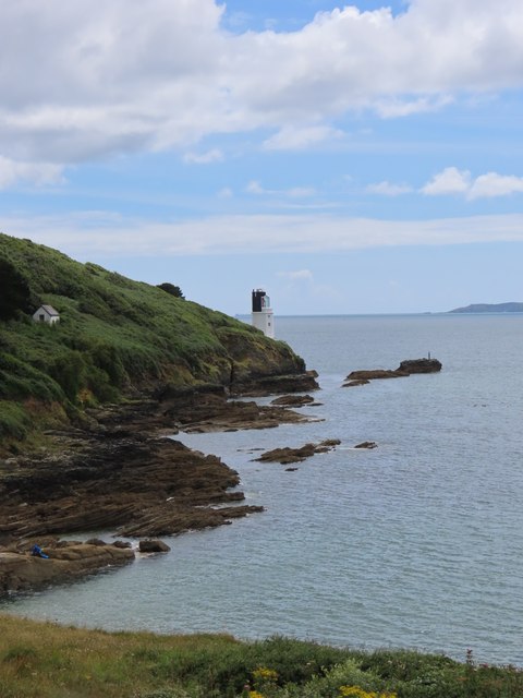
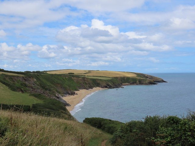
Cellars Beach, located in Cornwall, England, is a picturesque sandy beach nestled on the eastern coast of the Roseland Peninsula. This unspoiled gem offers visitors a tranquil and idyllic setting for relaxation and enjoyment.
Accessed via a steep and scenic footpath, Cellars Beach is a hidden cove that remains somewhat secluded, making it a popular choice for those seeking a peaceful retreat away from the crowds. The beach is relatively small, with golden sands stretching out at low tide and pebbles appearing at high tide.
The crystal-clear waters of the English Channel provide the perfect opportunity for swimming, paddleboarding, and snorkeling, while the sheltered nature of the cove makes it a safe environment for families with children. Lifeguards are not currently stationed at the beach, so caution is advised when venturing into the water.
Surrounded by cliffs and lush greenery, Cellars Beach offers breathtaking views of the rugged coastline and the open sea. Exploring the rock pools at low tide reveals a diverse range of marine life, adding to the charm and intrigue of the area.
Facilities at Cellars Beach are limited, with no toilets or shops available on-site. Visitors are advised to bring their own refreshments and essential supplies. Dogs are allowed throughout the year, making it a popular spot for dog walkers.
Overall, Cellars Beach in Cornwall is a hidden gem, offering a peaceful and unspoiled coastal experience for those who appreciate natural beauty and tranquility.
If you have any feedback on the listing, please let us know in the comments section below.
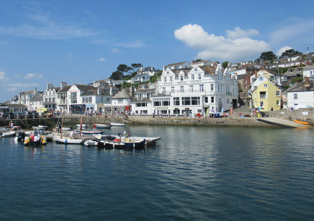
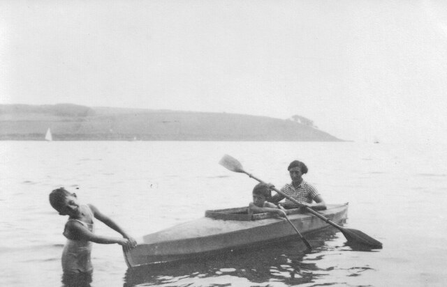
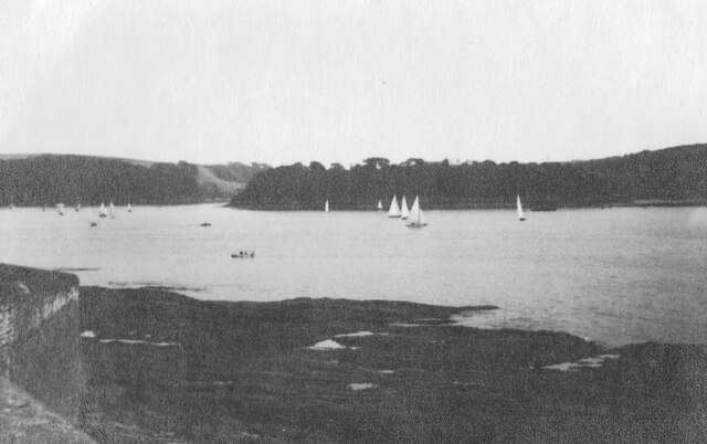
Cellars Beach Images
Images are sourced within 2km of 50.152261/-5.0068445 or Grid Reference SW8532. Thanks to Geograph Open Source API. All images are credited.

Cellars Beach is located at Grid Ref: SW8532 (Lat: 50.152261, Lng: -5.0068445)
Unitary Authority: Cornwall
Police Authority: Devon and Cornwall
What 3 Words
///daring.seducing.stunning. Near Portscatho, Cornwall
Nearby Locations
Related Wikis
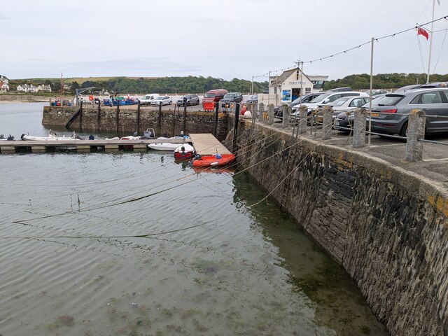
St Anthony in Roseland
St Anthony in Roseland is a village and a former parish in Cornwall, England, in the United Kingdom. It is a small settlement on the Roseland Peninsula...

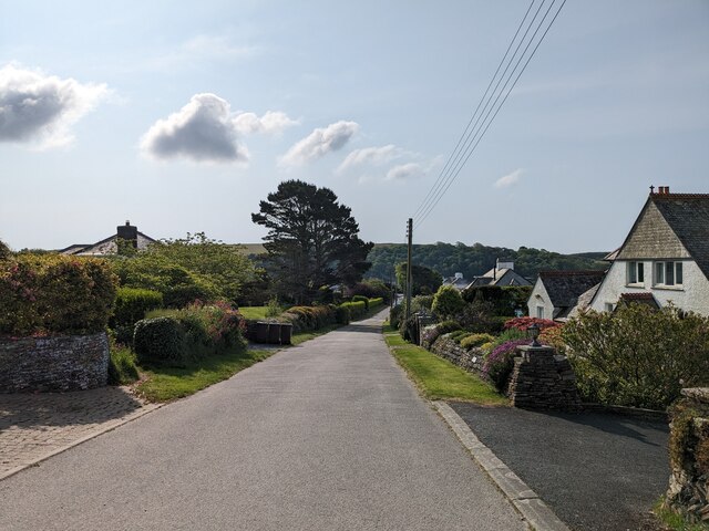
Bohortha
Bohortha (Cornish: Buorthow) is a coastal village in south Cornwall, England, United Kingdom. It is situated on the east side of the Roseland Peninsula...

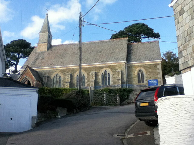
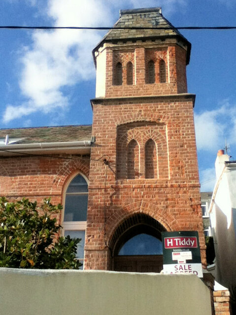
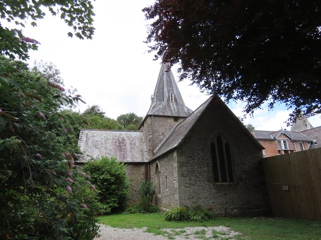
St Mawes' Church, St Mawes
St Mawes’ Church is a Grade II listed parish church in the Church of England Diocese of Truro in St Mawes, Cornwall, England, UK. == History == The name...

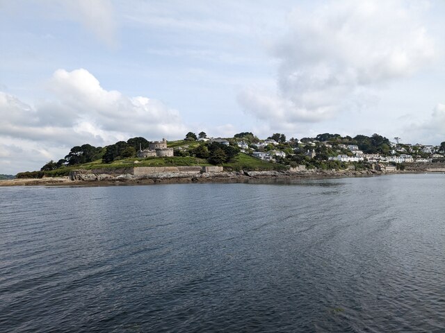
Percuil River
The Percuil River is an estuary and stream draining the southern part of the Roseland Peninsula of Cornwall, UK and is one of three major tidal creeks...
Nearby Amenities
Located within 500m of 50.152261,-5.0068445Have you been to Cellars Beach?
Leave your review of Cellars Beach below (or comments, questions and feedback).