Drawler Plantation
Wood, Forest in Cornwall
England
Drawler Plantation
Drawler Plantation is a picturesque woodland located in Cornwall, England. Situated in the heart of the county, this sprawling forest covers an area of approximately 500 acres. It is renowned for its natural beauty, diverse flora and fauna, and rich history.
The woodland predominantly consists of mature oak and beech trees, which create a dense canopy, allowing only dappled sunlight to filter through. The towering trees provide a tranquil environment, making it a perfect retreat for nature lovers and outdoor enthusiasts.
Drawler Plantation is home to a wide variety of wildlife. The forest's dense undergrowth provides a habitat for several species, including deer, foxes, badgers, and a myriad of bird species. The diverse ecosystem also supports a range of plant life, including bluebells, wild garlic, and ferns, which carpet the forest floor during the spring months.
The plantation has a fascinating history that dates back centuries. Originally owned by a wealthy landowner, it was primarily used for timber production. The remnants of old saw pits and charcoal hearths can still be found scattered throughout the woodland, serving as a reminder of its industrial past.
Today, Drawler Plantation is managed by a conservation organization, which ensures the preservation of its natural beauty and wildlife habitats. The forest offers various walking trails and footpaths, allowing visitors to explore the woodland and discover its hidden gems. With its breath-taking scenery and rich biodiversity, Drawler Plantation is a true gem in Cornwall's natural landscape.
If you have any feedback on the listing, please let us know in the comments section below.
Drawler Plantation Images
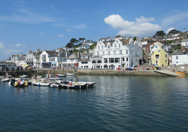
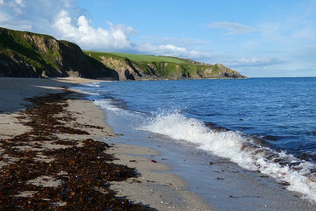
Images are sourced within 2km of 50.154095/-5.0016812 or Grid Reference SW8532. Thanks to Geograph Open Source API. All images are credited.


Drawler Plantation is located at Grid Ref: SW8532 (Lat: 50.154095, Lng: -5.0016812)
Unitary Authority: Cornwall
Police Authority: Devon and Cornwall
What 3 Words
///airbrush.inflamed.stunt. Near Portscatho, Cornwall
Nearby Locations
Related Wikis

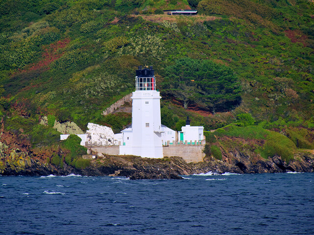
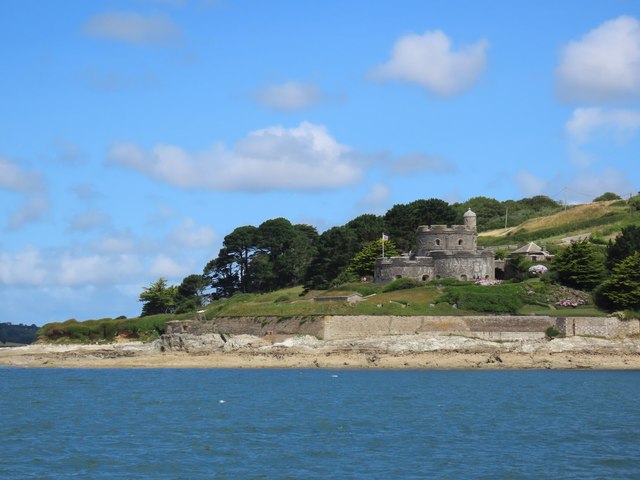
Bohortha
Bohortha (Cornish: Buorthow) is a coastal village in south Cornwall, England, United Kingdom. It is situated on the east side of the Roseland Peninsula...
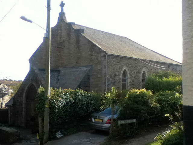
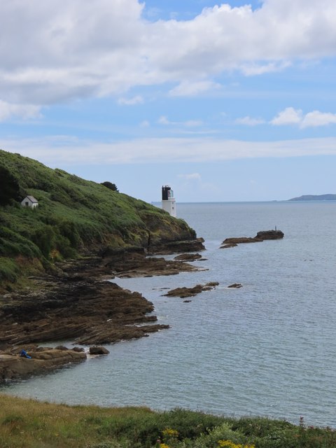
St Anthony in Roseland
St Anthony in Roseland is a village and a former parish in Cornwall, England, in the United Kingdom. It is a small settlement on the Roseland Peninsula...

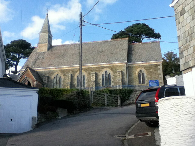
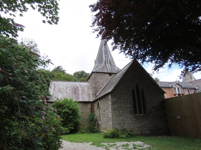
St Mawes' Church, St Mawes
St Mawes’ Church is a Grade II listed parish church in the Church of England Diocese of Truro in St Mawes, Cornwall, England, UK. == History == The name...

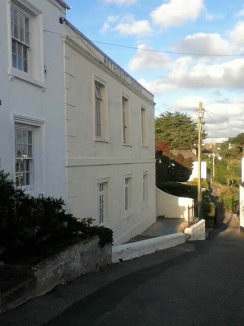
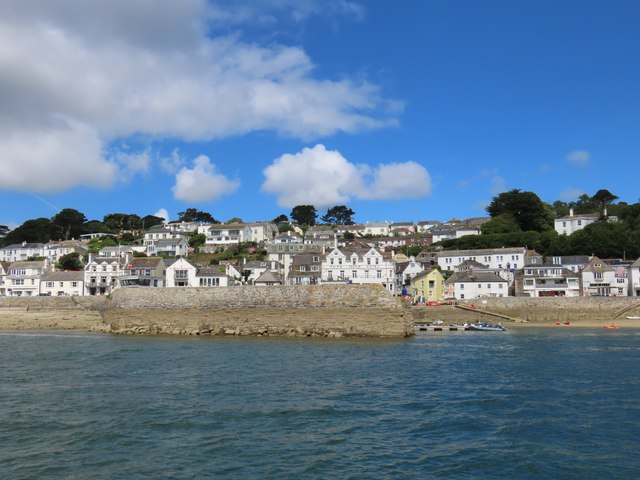
St Mawes
St Mawes' (Cornish: Lannvowsedh) is a village on the end of the Roseland Peninsula, in the eastern side of Falmouth harbour, on the south coast of Cornwall...
Nearby Amenities
Located within 500m of 50.154095,-5.0016812Have you been to Drawler Plantation?
Leave your review of Drawler Plantation below (or comments, questions and feedback).