Polvarth Point

Coastal Marsh, Saltings in Cornwall

England

Polvarth Point

Arriving by ferry at St Mawes
Arriving by ferry at St Mawes Credit: Roy Hughes

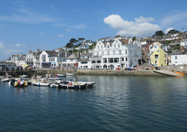
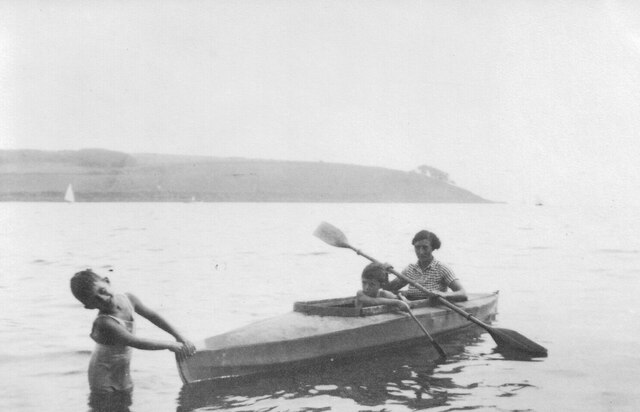
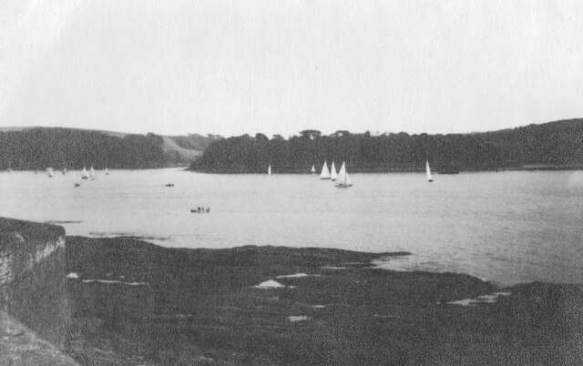
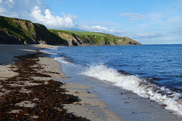
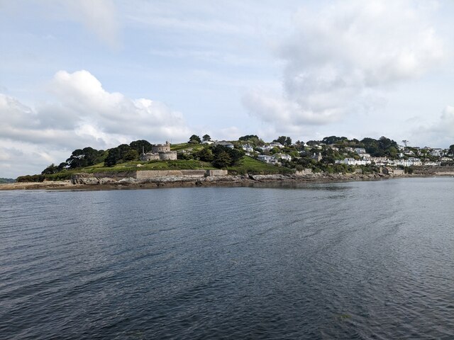
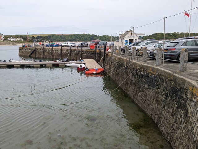
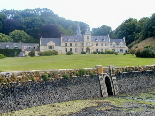
Polvarth Point is a captivating coastal marsh located in Cornwall, England. Nestled on the southern coast of the county, this scenic stretch of land is known for its unique salt marshes, or saltings, which offer a diverse and thriving ecosystem.

The marshland at Polvarth Point is characterized by its extensive mudflats that are exposed during low tide, providing a rich feeding ground for a variety of bird species. The area is a designated Site of Special Scientific Interest (SSSI) due to its importance as a habitat for both resident and migratory birds.

The salt marshes at Polvarth Point are home to a plethora of plant species that have adapted to the challenging conditions of the coastal environment. Pioneering plants such as samphire and sea aster thrive in the salty soil, while other species like sea lavender and sea purslane add bursts of color to the landscape.

In addition to its ecological significance, Polvarth Point is a popular destination for nature enthusiasts and hikers. The coastal path that runs through the area offers breathtaking views of the rugged coastline, and visitors can witness the changing tides and the dynamic interplay between land and sea.

Polvarth Point provides a serene and tranquil escape from the bustling city life, offering visitors a chance to immerse themselves in the beauty of nature. Whether it's birdwatching, exploring the salt marshes, or simply enjoying the stunning coastal scenery, this hidden gem in Cornwall is a must-see for anyone seeking a true coastal experience.

If you have any feedback on the listing, please let us know in the comments section below.

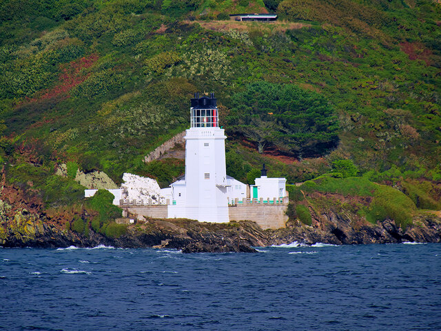
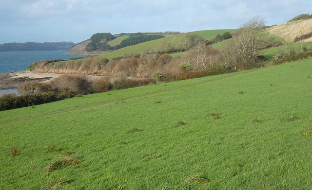
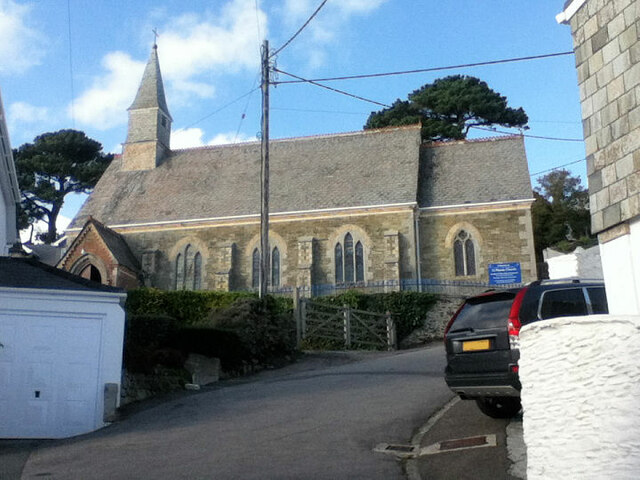
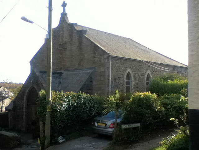
Polvarth Point Images

Images are sourced within 2km of 50.15655/-5.0051955 or Grid Reference SW8532. Thanks to Geograph Open Source API. All images are credited.

Arriving by ferry at St Mawes
Folbot folding canoe, St Mawes 1938 Folding canoes of fabric over a frame originated with Inuit kayaks. Commercial ones started in Germany with Klepper's Faltboot in 1908. In the UK Jack Kissner started making the Folbot in 1933, and the company continued to 2016. In World War 2 Special Forces used folding canoes, known as cockles, the first ones were based on the Folbot design.
The Folbot in the photo is on Tavern Beach; the photographer was on holiday in "Our Cottage" in Lower Castle Road, just above the beach.
View towards Carricknath Point, as shown in <a href="https://www.geograph.org.uk/photo/29338">SW8432 : Carricknath Point</a>, also a view from St Mawes.
Folbot folding canoe, St Mawes 1938
Folding canoes of fabric over a frame originated with Inuit kayaks. Commercial ones started in Germany with Klepper's Faltboot in 1908. In the UK Jack Kissner started making the Folbot in 1933, and the company continued to 2016. In World War 2 Special Forces used folding canoes, known as cockles, the first ones were based on the Folbot design. The Folbot in the photo is on Tavern Beach; the photographer was on holiday in "Our Cottage" in Lower Castle Road, just above the beach. View towards Carricknath Point, as shown in SW8432 : Carricknath Point, also a view from St Mawes.
Tavern Beach St Mawes with yachts on harbour, 1938 Photo from Lower Castle Road where the photographer was on holiday in "Our Cottage". The sea wall beside the road is seen on the left. Across the estuary is the coast from Carricknath Point to St. Anthony.  A similar recent view is <a href="https://www.geograph.org.uk/photo/774705">SW8432 : St Mawes Harbour, Roseland, Cornwall taken 1964</a>.
Tavern Beach St Mawes with yachts on harbour, 1938
Photo from Lower Castle Road where the photographer was on holiday in "Our Cottage". The sea wall beside the road is seen on the left. Across the estuary is the coast from Carricknath Point to St. Anthony. A similar recent view is SW8432 : St Mawes Harbour, Roseland, Cornwall taken 1964.
Porthbeor Beach, Gerrans The tide was quite well in with relatively little of the beach exposed.  Access down a steep path is discouraged by the National Trust due to the risk of rockfalls.
Porthbeor Beach, Gerrans
The tide was quite well in with relatively little of the beach exposed. Access down a steep path is discouraged by the National Trust due to the risk of rockfalls.
The Percuil River, Gerrans A view from the riverside footpath above Precuil to steep pastures on the St Just side.
The Percuil River, Gerrans
A view from the riverside footpath above Precuil to steep pastures on the St Just side.
Farmland, Gerrans Fields of barley beside the road above Percuil.
Farmland, Gerrans
Fields of barley beside the road above Percuil.
St Anthony's Lighthouse St Anthony's Lighthouse is situated on St Anthony Head, on the eastern side of the entrance to Falmouth harbour. It was built in 1835 by the Chief Engineer of Trinity House to guide shipping away from the Manacles Rocks south of Falmouth Harbour (<span class="nowrap"><a title="https://www.trinityhouse.co.uk/lighthouses-and-lightvessels/st-anthonys-lighthouse" rel="nofollow ugc noopener" href="https://www.trinityhouse.co.uk/lighthouses-and-lightvessels/st-anthonys-lighthouse">Link</a><img style="margin-left:2px;" alt="External link" title="External link - shift click to open in new window" src="https://s1.geograph.org.uk/img/external.png" width="10" height="10"/></span>  Trinity House). It is a Grade II listed building (Historic England List Entry Number: 1136282 <span class="nowrap"><a title="https://historicengland.org.uk/listing/the-list/list-entry/1136282" rel="nofollow ugc noopener" href="https://historicengland.org.uk/listing/the-list/list-entry/1136282">Link</a><img style="margin-left:2px;" alt="External link" title="External link - shift click to open in new window" src="https://s1.geograph.org.uk/img/external.png" width="10" height="10"/></span> )

St Anthony's lighthouse was featured in the UK version of Jim Henson's Fraggle Rock, as "Fraggle Rock Lighthouse" in external scenes.

Today the light is automated, flashing white every 15 seconds
St Anthony's Lighthouse
St Anthony's Lighthouse is situated on St Anthony Head, on the eastern side of the entrance to Falmouth harbour. It was built in 1835 by the Chief Engineer of Trinity House to guide shipping away from the Manacles Rocks south of Falmouth Harbour (LinkExternal link Trinity House). It is a Grade II listed building (Historic England List Entry Number: 1136282 LinkExternal link ) St Anthony's lighthouse was featured in the UK version of Jim Henson's Fraggle Rock, as "Fraggle Rock Lighthouse" in external scenes. Today the light is automated, flashing white every 15 seconds
Pastures, St Just-in-Roseland Messack Point is seen in the middle distance from a little above the coast path between St Mawes and St Just.
Pastures, St Just-in-Roseland
Messack Point is seen in the middle distance from a little above the coast path between St Mawes and St Just.
St Mawes Parish Church
Catholic Church of Our Lady Star of the Sea and St Anthony
Former Wesleyan Methodist Chapel
Former Congregational chapel
St Mawes Castle
St Mawes Castle
Pedn-Moran Road
Pedn-Moran Road
St Mawes Quay
St Mawes Quay
St Mawes Castle
St Mawes Castle
St Mawes Quay
St Mawes Quay
St Anthony-in-Roseland Church
Show me another place!

Polvarth Point is located at Grid Ref: SW8532 (Lat: 50.15655, Lng: -5.0051955)

Unitary Authority: Cornwall

Police Authority: Devon and Cornwall

What 3 Words

///tailwind.snippets.shakes. Near Portscatho, Cornwall

Related Wikis

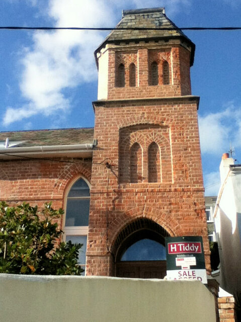
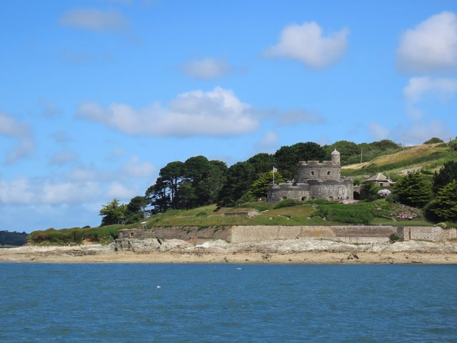
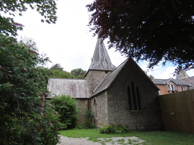
St Mawes' Church, St Mawes

St Mawes’ Church is a Grade II listed parish church in the Church of England Diocese of Truro in St Mawes, Cornwall, England, UK. == History == The name...

Bohortha

Bohortha (Cornish: Buorthow) is a coastal village in south Cornwall, England, United Kingdom. It is situated on the east side of the Roseland Peninsula...

St Anthony in Roseland

St Anthony in Roseland is a village and a former parish in Cornwall, England, in the United Kingdom. It is a small settlement on the Roseland Peninsula...
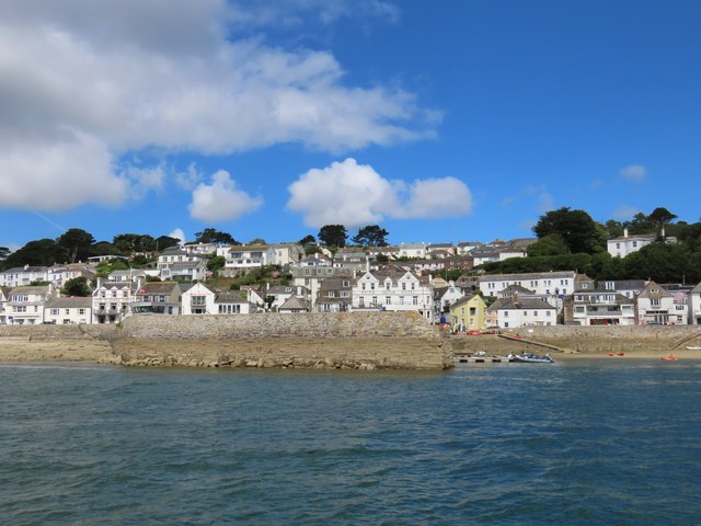
St Mawes

St Mawes' (Cornish: Lannvowsedh) is a village on the end of the Roseland Peninsula, in the eastern side of Falmouth harbour, on the south coast of Cornwall...

Nearby Amenities

Located within 500m of 50.15655,-5.0051955
Source: PGS
Lat/Long: 50.1570162/-5.008323
Source: PGS
Lat/Long: 50.1566067/-5.0069633
Source: PGS
Lat/Long: 50.1565362/-5.0068986
Source: PGS
Lat/Long: 50.1565121/-5.0063897
Source: PGS
Lat/Long: 50.1565725/-5.0056535
Source: PGS
Lat/Long: 50.1569162/-5.0049903
Source: PGS
Lat/Long: 50.1584402/-5.0042564
Source: PGS
Lat/Long: 50.1585627/-5.0041972
Source: PGS
Lat/Long: 50.1593225/-5.004904
Source: PGS
Lat/Long: 50.1600005/-5.0049587
Source: PGS
Lat/Long: 50.16045/-5.0054175
Bench
Lat/Long: 50.1572761/-4.9993058
Barrier: stile
Lat/Long: 50.1584238/-4.9994096
Bench
Backrest: no
Material: wood
Seats: 4
Survey Date: 2023-05-20
Lat/Long: 50.1532869/-5.0034443
Bench
Backrest: yes
Material: wood
Seats: 4
Lat/Long: 50.1543251/-5.0021544
Bench
Backrest: no
Material: wood
Seats: 4
Survey Date: 2023-05-20
Lat/Long: 50.1553838/-5.0003543
Ferry Terminal
Ferry: yes
Public Transport: station
Lat/Long: 50.15233/-5.0046742
Leisure: slipway
Lat/Long: 50.1588474/-5.004392
Leisure: slipway
Lat/Long: 50.1574249/-5.0044046
Bus Stop
Buckeys Lane
Bench: no
Bin: no
Bus: yes
Lit: yes
Name En: Buckeys Lane
Naptan AdministrativeAreaCode: 73
Naptan AtcoCode: 0800COA15877
Naptan Bearing: NW
Naptan BusStopType: CUS
Naptan CommonName: Buckeys Lane
Naptan Indicator: NW-bound
Naptan LocalityName: St Mawes
Naptan NaptanCode: corgmata
Naptan NptgLocalityCode: E0002956
Naptan RegionCode: corgmata
Naptan Verified: no
Public Transport: platform
Shelter: no
Source: bing;naptan
Tactile Paving: no
Lat/Long: 50.1586203/-5.0066009
Barrier: kissing_gate
Lat/Long: 50.152451/-5.0041914
Barrier: stile
Lat/Long: 50.1551931/-4.9995682
Bench
Backrest: no
Survey Date: 2023-05-20
Lat/Long: 50.1525638/-5.004226
Post Box
Collection Times: Mo-Fr 09:00; Sa 07:00; Su off
Operator: Royal Mail
Operator Wikidata: Q638098
Post Box Design: type_b
Post Box Mounting: stone_wall
Post Box Type: wall
Ref: TR2 221D
Royal Cypher: GR
Royal Cypher Wikidata: Q33102273
Source: survey;aerial imagery
Lat/Long: 50.1578823/-5.0090658
Bus Stop
Buckeys Lane
Bench: no
Bin: no
Bus: yes
Lit: yes
Naptan AdministrativeAreaCode: 73
Naptan AtcoCode: 0800COA15878
Naptan Bearing: SE
Naptan BusStopType: CUS
Naptan CommonName: Buckeys Lane
Naptan Indicator: SE-bound
Naptan LocalityName: St Mawes
Naptan NptgLocalityCode: E0002956
Naptan RegionCode: corgmatd
Naptan Verified: no
Public Transport: platform
Shelter: no
Tactile Paving: no
Lat/Long: 50.1586658/-5.0063167
Bus Stop
Freshwater Lane
Bus: yes
Naptan AdministrativeAreaCode: 73
Naptan AtcoCode: 0800COA15875
Naptan Bearing: SE
Naptan BusStopType: CUS
Naptan CommonName: Freshwater Lane
Naptan Indicator: SE-bound
Naptan LocalityName: St Mawes
Naptan NptgLocalityCode: E0002956
Naptan RegionCode: corgmapt
Naptan Verified: no
Public Transport: platform
Lat/Long: 50.159914/-5.0085212
Bus Stop
Freshwater Lane
Bus: yes
Naptan AdministrativeAreaCode: 73
Naptan AtcoCode: 0800COA15876
Naptan Bearing: NW
Naptan BusStopType: CUS
Naptan CommonName: Freshwater Lane
Naptan Indicator: NW-bound
Naptan LocalityName: St Mawes
Naptan NptgLocalityCode: E0002956
Naptan RegionCode: corgmapw
Naptan Verified: no
Public Transport: platform
Lat/Long: 50.1596943/-5.0084294
Bench
Survey Date: 2024-02-24
Lat/Long: 50.1579931/-5.00939
Bench
Survey Date: 2024-02-24
Lat/Long: 50.1580342/-5.0094381
Bench
Survey Date: 2024-02-24
Lat/Long: 50.158069/-5.0094929
Bench
Survey Date: 2024-02-24
Lat/Long: 50.1581103/-5.0095332
Bench
Survey Date: 2024-02-24
Lat/Long: 50.1581534/-5.0095795
Bench
Survey Date: 2024-02-24
Lat/Long: 50.1581925/-5.0096308
Bench
Backrest: yes
Survey Date: 2024-02-24
Lat/Long: 50.158225/-5.0096635
Waste Basket
Survey Date: 2024-02-24
Lat/Long: 50.1583185/-5.009788
Life Ring
Emergency: life_ring
Survey Date: 2024-02-24
Lat/Long: 50.1583529/-5.0098638
Waste Basket
Survey Date: 2024-02-24
Waste: dog_excrement
Lat/Long: 50.1588976/-5.004883
Fire Hydrant
Emergency: fire_hydrant
Fire Hydrant Diameter: 100
Fire Hydrant Position: lane
Fire Hydrant Type: underground
Survey Date: 2024-02-24
Waste: dog_excrement
Lat/Long: 50.1571739/-5.0066075
Bench
Survey Date: 2024-02-24
Lat/Long: 50.1574024/-5.0085614
Bench
Survey Date: 2024-02-24
Lat/Long: 50.1579464/-5.0093472
Bench
Survey Date: 2024-02-24
Lat/Long: 50.1573332/-5.0085367
Bench
Survey Date: 2024-02-24
Lat/Long: 50.1573292/-5.0084627
Bench
Survey Date: 2024-02-24
Lat/Long: 50.1573067/-5.0086044
Bench
Survey Date: 2024-02-24
Lat/Long: 50.1573414/-5.0086156
Bench
Survey Date: 2024-02-24
Lat/Long: 50.1573812/-5.008645
Bench
Survey Date: 2024-02-24
Lat/Long: 50.1574235/-5.0087318
Bench
Survey Date: 2024-02-24
Lat/Long: 50.1574975/-5.0087398
Bench
Survey Date: 2024-02-24
Lat/Long: 50.1576118/-5.0088823
Bench
Survey Date: 2024-02-24
Lat/Long: 50.1575618/-5.0088242
The data included in this document is from www.openstreetmap.org. The data is made available under ODbL.

Have you been to Polvarth Point?

Leave your review of Polvarth Point below (or comments, questions and feedback).