Breine Phort
Coastal Marsh, Saltings in Argyllshire
Scotland
Breine Phort
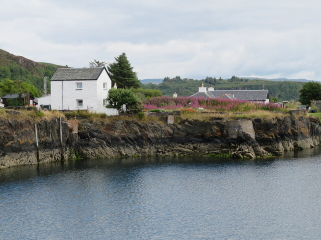
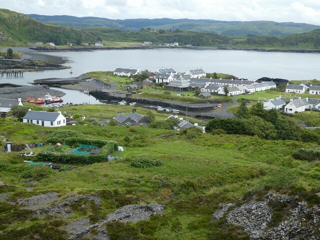
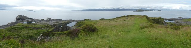
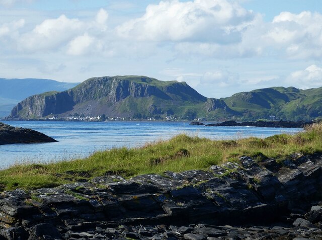
Breine Phort, located in Argyllshire, Scotland, is a coastal marsh and saltings area that showcases a unique and diverse ecological system. Situated along the western coast of Scotland, this marshland is nestled between the rugged highland mountains and the vast expanse of the North Atlantic Ocean.
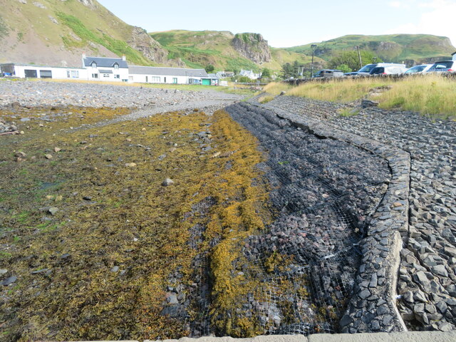
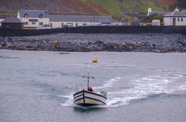
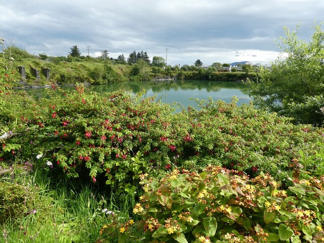
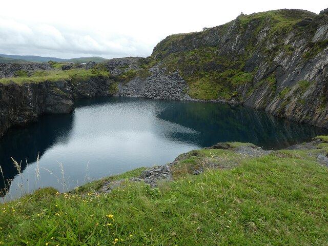
The landscape of Breine Phort is characterized by its marshy terrain, consisting of low-lying areas with a mix of mudflats, tidal channels, and salt marshes. The intertidal zones, created by the ebb and flow of the tides, provide a vital habitat for a wide range of plant and animal species. The marshes are often flooded at high tide, creating a dynamic environment that supports various forms of marine life.
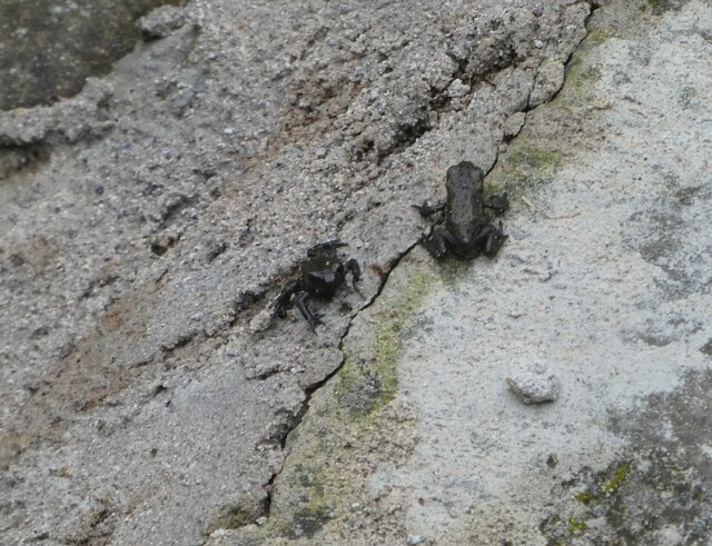
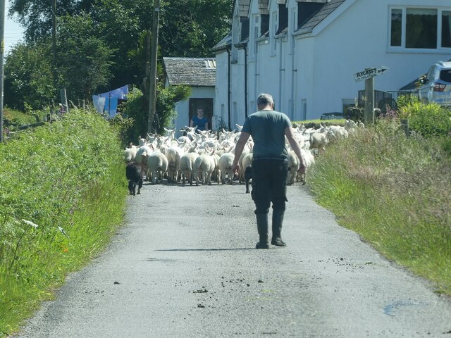
The marshland of Breine Phort is renowned for its rich biodiversity. It serves as a sanctuary for numerous bird species, including wading birds such as redshanks, oystercatchers, and curlews. These birds are attracted to the area due to the abundance of invertebrates and small fish that thrive in the marshes. Additionally, the marshland provides an important breeding ground for several species of amphibians and reptiles.
The flora of Breine Phort is equally diverse, with a variety of salt-tolerant plants thriving in the saline conditions. Common species found in the area include sea lavender, glasswort, and sea purslane. These plants not only contribute to the visual appeal of the marshes but also play a crucial role in stabilizing the marshland and preventing erosion.
Due to its ecological significance, Breine Phort has been designated as a protected area and is part of a wider network of nature reserves in Scotland. It offers a unique opportunity for nature enthusiasts and researchers to study and appreciate the wonders of coastal marshes and their associated ecosystems.
If you have any feedback on the listing, please let us know in the comments section below.
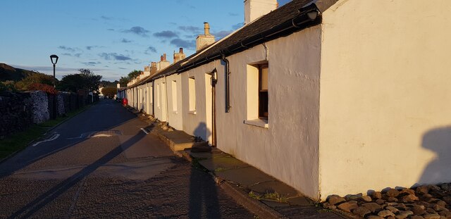
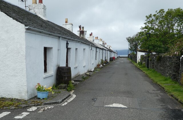
Breine Phort Images
Images are sourced within 2km of 56.289286/-5.6335646 or Grid Reference NM7516. Thanks to Geograph Open Source API. All images are credited.
Breine Phort is located at Grid Ref: NM7516 (Lat: 56.289286, Lng: -5.6335646)
Unitary Authority: Argyll and Bute
Police Authority: Argyll and West Dunbartonshire
What 3 Words
///plot.windmill.restless. Near Lochbuie, Argyll & Bute
Nearby Locations
Related Wikis

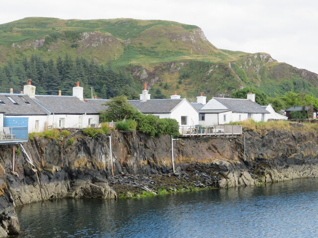
Ellenabeich
Ellenabeich (Scottish Gaelic: Eilean nam Beitheach, meaning "island of the birchwoods.") is a small village on the isle of Seil (Scottish Gaelic: Saoil...

Balvicar
Balvicar (Scottish Gaelic: Baile a' Bhiocair) is a village on the island of Seil, a small island seven miles (eleven kilometres) southwest of Oban, Scotland...

Seil
Seil (; Scottish Gaelic: Saoil, Scottish Gaelic pronunciation: [ˈs̪ɯːl]) is one of the Slate Islands, located on the east side of the Firth of Lorn, 7...
Easdale
Easdale (Scottish Gaelic: Eilean Èisdeal) is one of the Slate Islands, in the Firth of Lorn, Scotland. Once the centre of the Scottish slate industry,...

Cuan Sound
Cuan Sound is a narrow channel, 200 metres (660 ft) wide, located in Argyll, western Scotland. It separates Seil and Luing and later becomes the Firth...
Torsa
Torsa (occasionally Torsay) is one of the Slate Islands in Argyll and Bute, Scotland. Lying east of Luing and south of Seil, this tidal island was inhabited...
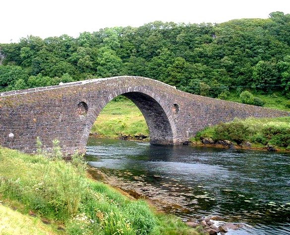
Clachan Bridge
The Clachan Bridge is a simple, single-arched, hump-backed, masonry bridge spanning the Clachan Sound, 13 kilometres (8 mi) southwest of Oban in Argyll...
Slate Islands
The Slate Islands are an island group in the Inner Hebrides, lying immediately off the west coast of Scotland, north of Jura and southwest of Oban. The...
Nearby Amenities
Located within 500m of 56.289286,-5.6335646Have you been to Breine Phort?
Leave your review of Breine Phort below (or comments, questions and feedback).