Cotty's Point
Coastal Marsh, Saltings in Cornwall
England
Cotty's Point
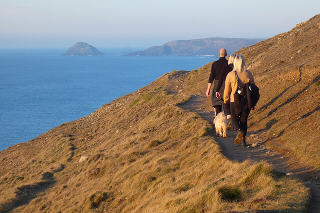
Cotty's Point is a picturesque coastal marsh and saltings located in Cornwall, England. Situated near the village of Cotty's Bay, the area is renowned for its outstanding natural beauty and diverse ecosystem.
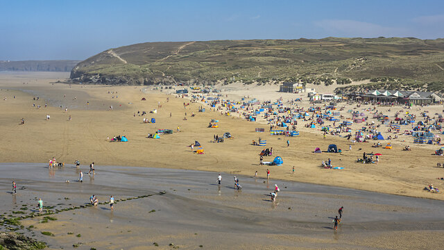
The marshland at Cotty's Point is characterized by its lush vegetation, comprising of reeds, grasses, and wildflowers. These plants provide a vital habitat for a wide range of bird species, making it a popular destination for birdwatchers and nature enthusiasts. Visitors can expect to see a variety of wading birds, including herons, egrets, and curlews, as well as migratory species during the appropriate seasons.
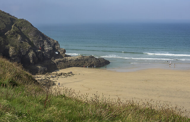
The intertidal mudflats and salt marshes at Cotty's Point also contribute to its ecological significance. These habitats support a rich array of invertebrates, such as crabs, snails, and worms, which in turn attract larger predators like foxes and otters. The area's unique mix of saltwater and freshwater creates an environment that is teeming with life and provides an important feeding ground for many species.
In addition to its ecological importance, Cotty's Point also offers breathtaking views of the surrounding coastline. The site overlooks the Atlantic Ocean, providing visitors with stunning vistas of crashing waves, rocky cliffs, and sandy beaches. The rugged beauty of the area is further enhanced by the presence of wildflowers that bloom along the marshes, adding vibrant colors to the landscape.
Cotty's Point is a haven for nature lovers, offering a serene escape from the hustle and bustle of everyday life. Whether exploring the diverse wildlife or simply taking in the stunning scenery, visitors to Cotty's Point are sure to be captivated by its natural wonders.
If you have any feedback on the listing, please let us know in the comments section below.
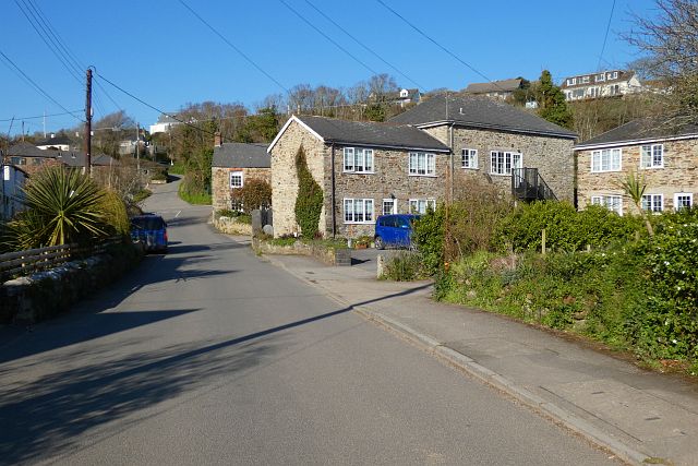
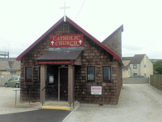
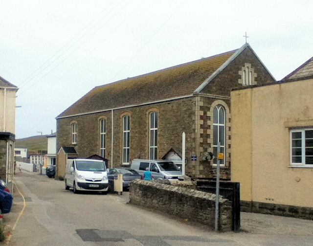
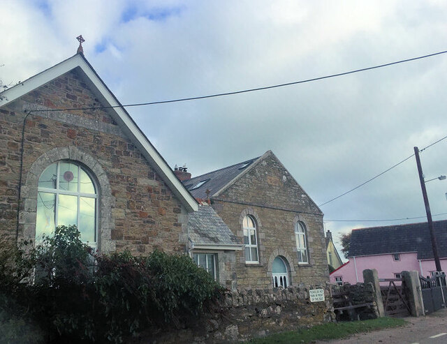
Cotty's Point Images
Images are sourced within 2km of 50.35269/-5.1538534 or Grid Reference SW7555. Thanks to Geograph Open Source API. All images are credited.


Cotty's Point is located at Grid Ref: SW7555 (Lat: 50.35269, Lng: -5.1538534)
Unitary Authority: Cornwall
Police Authority: Devon and Cornwall
What 3 Words
///mailboxes.witless.fermented. Near Perranporth, Cornwall
Nearby Locations
Related Wikis

Perranporth
Perranporth (Standard Written Form: Porthperan) is a seaside resort town on the north coast of Cornwall, England, United Kingdom. It is 2.1 miles east...

Reen Manor
Reen Manor is a hamlet east of Perranporth in Cornwall, England. == References ==

Rose, Cornwall
Rose (Cornish: Ros) is a hamlet in mid-Cornwall, UK. Rose is to the north-west of Goonhavern and east of Perranporth.Between Rose and Lower Rose is St...
Bolingey
Bolingey (Cornish: Melinji) is a village on the north coast of Cornwall, England, United Kingdom. It is half-a-mile south of the small seaside resort of...
Perran Round
Perran Round (also known as St Piran's Round) is an amphitheatre in the hamlet of Rose, midway between the villages of Goonhavern and Perranporth, Cornwall...
Lower Rose
Lower Rose is a hamlet in the parish of Perranzabuloe (where the population at the 2011 census was included.), Cornwall, England, UK. Lower Rose is approximately...
Penwartha Coombe
Penwartha Coombe is a hamlet south of Perranporth, Cornwall, England. == References ==
Perrancoombe
Perrancoombe (Cornish: Kommperan) is a hamlet near Perranzabuloe in Cornwall, England. The name Perrancoombe comes from the Cornish language words Peran...
Nearby Amenities
Located within 500m of 50.35269,-5.1538534Have you been to Cotty's Point?
Leave your review of Cotty's Point below (or comments, questions and feedback).