Sgeir an Fhairchin
Island in Argyllshire
Scotland
Sgeir an Fhairchin
The requested URL returned error: 429 Too Many Requests
If you have any feedback on the listing, please let us know in the comments section below.
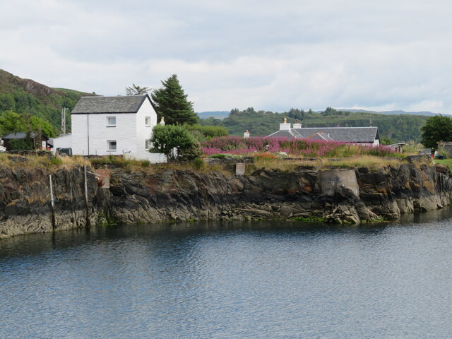
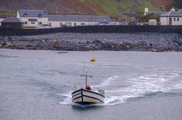
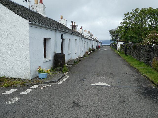
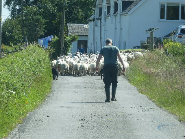
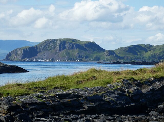
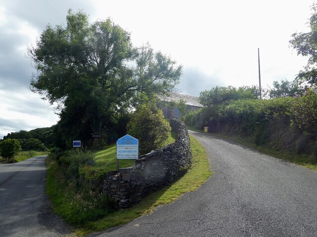
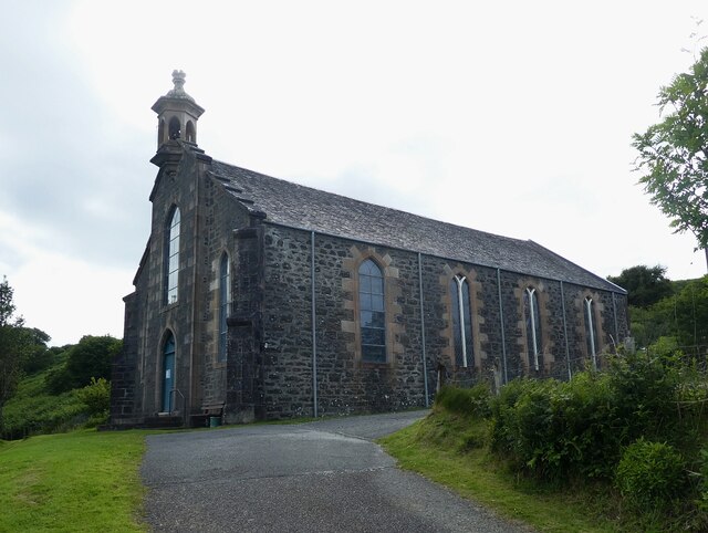
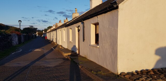
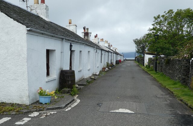
Sgeir an Fhairchin Images
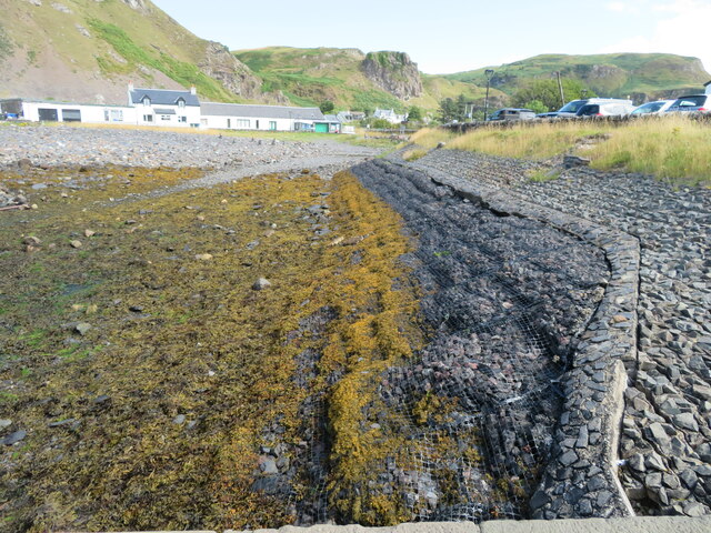
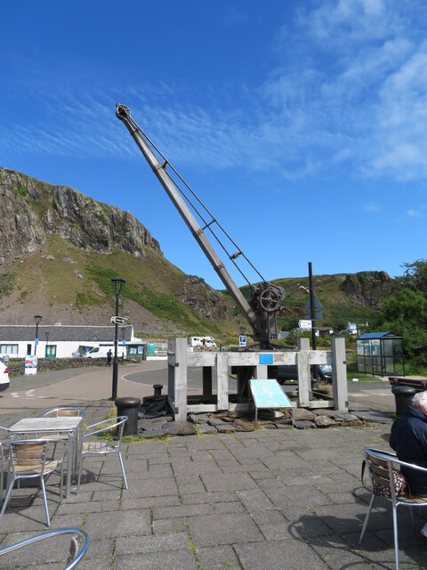
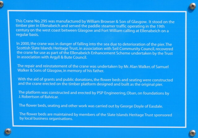
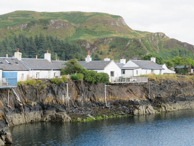
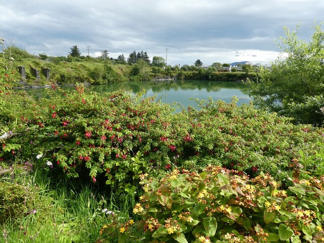
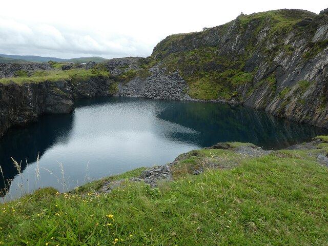
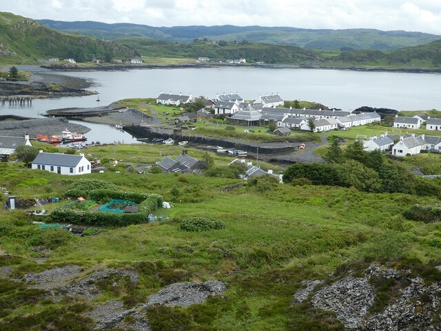
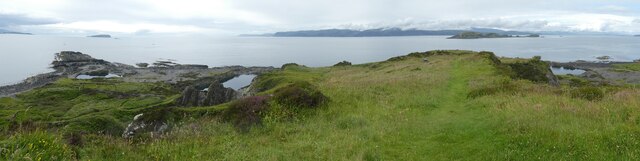
Images are sourced within 2km of 56.287603/-5.6363793 or Grid Reference NM7516. Thanks to Geograph Open Source API. All images are credited.
Sgeir an Fhairchin is located at Grid Ref: NM7516 (Lat: 56.287603, Lng: -5.6363793)
Unitary Authority: Argyll and Bute
Police Authority: Argyll and West Dunbartonshire
What 3 Words
///trumped.unafraid.fatherly. Near Lochbuie, Argyll & Bute
Nearby Locations
Related Wikis

Ellenabeich
Ellenabeich (Scottish Gaelic: Eilean nam Beitheach, meaning "island of the birchwoods.") is a small village on the isle of Seil (Scottish Gaelic: Saoil...

Easdale
Easdale (Scottish Gaelic: Eilean Èisdeal) is one of the Slate Islands, in the Firth of Lorn, Scotland. Once the centre of the Scottish slate industry,...
Balvicar
Balvicar (Scottish Gaelic: Baile a' Bhiocair) is a village on the island of Seil, a small island seven miles (eleven kilometres) southwest of Oban, Scotland...

Seil
Seil (; Scottish Gaelic: Saoil, Scottish Gaelic pronunciation: [ˈs̪ɯːl]) is one of the Slate Islands, located on the east side of the Firth of Lorn, 7...
Nearby Amenities
Located within 500m of 56.287603,-5.6363793Have you been to Sgeir an Fhairchin?
Leave your review of Sgeir an Fhairchin below (or comments, questions and feedback).