Sgeir Breine Phuirt
Island in Argyllshire
Scotland
Sgeir Breine Phuirt
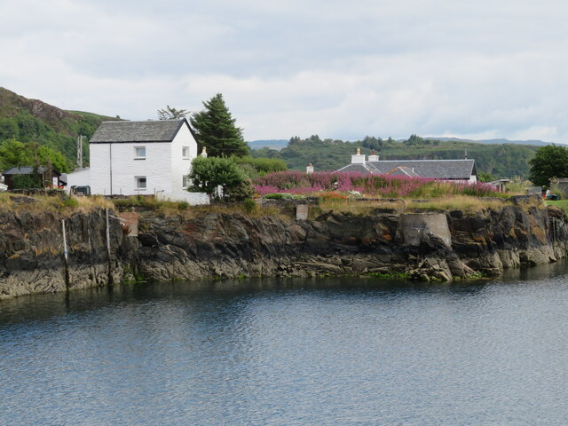
Sgeir Breine Phuirt, also known as the Skerry of Port Bannatyne, is a small island located in Argyllshire, Scotland. It is part of the Inner Hebrides archipelago and lies in the Firth of Clyde, near the town of Port Bannatyne.
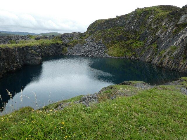
The island is relatively small, measuring approximately 170 meters in length and 50 meters in width. It is mainly composed of rugged cliffs, with steep slopes leading down to the surrounding sea. The terrain is rocky and barren, with little vegetation present.
Sgeir Breine Phuirt is a popular spot for birdwatchers, as it serves as a breeding ground and nesting site for various seabird species. Visitors can observe colonies of guillemots, razorbills, and puffins, among others, during the breeding season.
Due to its rocky and inaccessible nature, human presence on the island is limited. However, it is believed that in the past, Sgeir Breine Phuirt may have been used as a hunting ground for seals or seabirds by local communities.
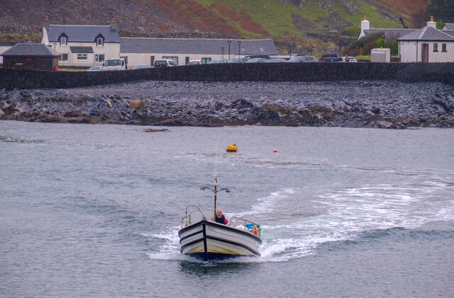
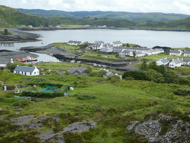
The island can be reached by boat, with Port Bannatyne serving as the nearest access point. Visitors are advised to take caution when approaching the island, as the cliffs can be treacherous and the currents around it can be strong.
Overall, Sgeir Breine Phuirt offers a unique and rugged landscape, providing a haven for various bird species. Its remote and untouched nature makes it a fascinating destination for nature enthusiasts and photographers alike.
If you have any feedback on the listing, please let us know in the comments section below.
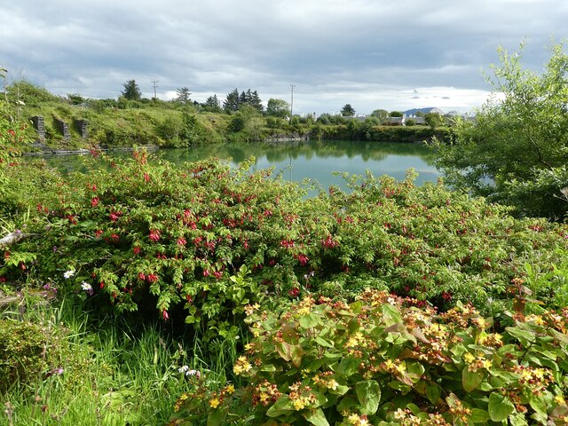
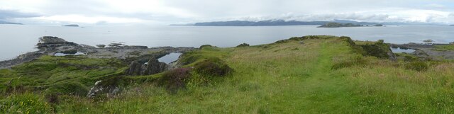
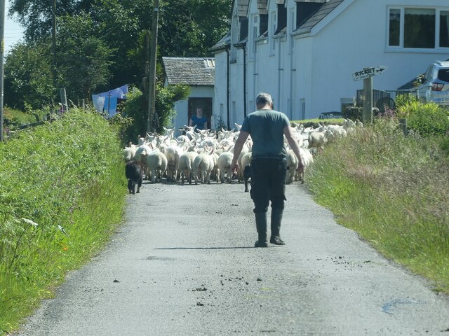
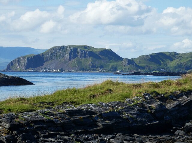
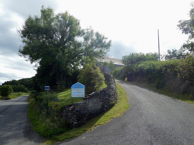
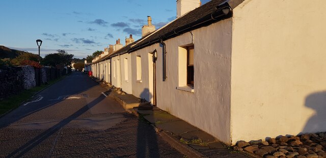
Sgeir Breine Phuirt Images
Images are sourced within 2km of 56.288891/-5.6347558 or Grid Reference NM7516. Thanks to Geograph Open Source API. All images are credited.

Sgeir Breine Phuirt is located at Grid Ref: NM7516 (Lat: 56.288891, Lng: -5.6347558)
Unitary Authority: Argyll and Bute
Police Authority: Argyll and West Dunbartonshire
What 3 Words
///goods.charcoal.schematic. Near Lochbuie, Argyll & Bute
Nearby Locations
Related Wikis

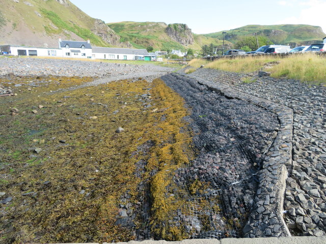
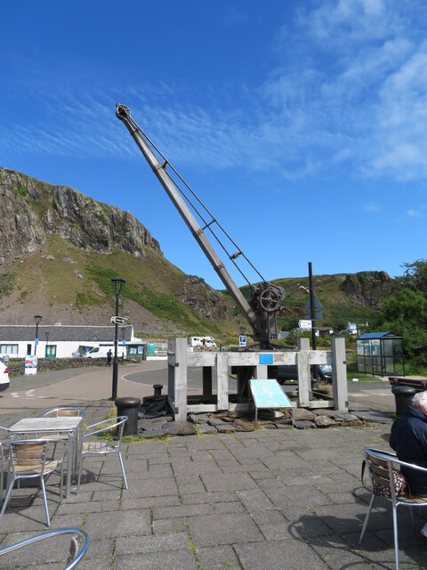
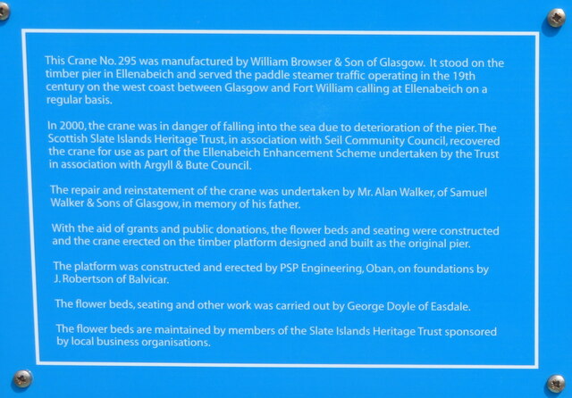
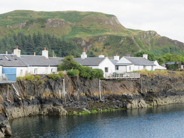
Ellenabeich
Ellenabeich (Scottish Gaelic: Eilean nam Beitheach, meaning "island of the birchwoods.") is a small village on the isle of Seil (Scottish Gaelic: Saoil...

Balvicar
Balvicar (Scottish Gaelic: Baile a' Bhiocair) is a village on the island of Seil, a small island seven miles (eleven kilometres) southwest of Oban, Scotland...
Easdale
Easdale (Scottish Gaelic: Eilean Èisdeal) is one of the Slate Islands, in the Firth of Lorn, Scotland. Once the centre of the Scottish slate industry,...

Seil
Seil (; Scottish Gaelic: Saoil, Scottish Gaelic pronunciation: [ˈs̪ɯːl]) is one of the Slate Islands, located on the east side of the Firth of Lorn, 7...
Nearby Amenities
Located within 500m of 56.288891,-5.6347558Have you been to Sgeir Breine Phuirt?
Leave your review of Sgeir Breine Phuirt below (or comments, questions and feedback).