Kilbride
Settlement in Argyllshire
Scotland
Kilbride
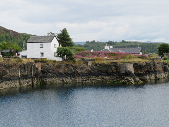
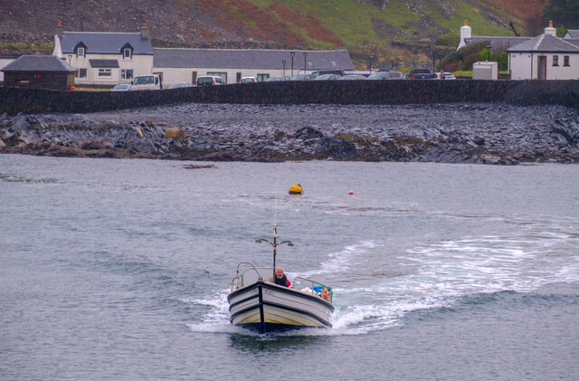
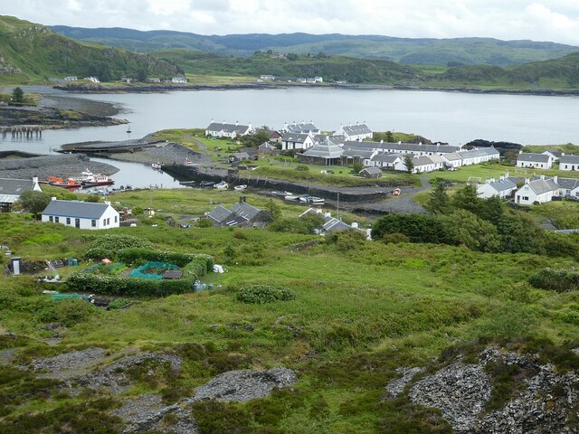
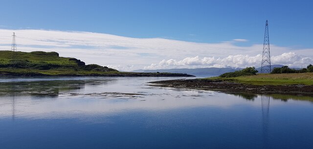
Kilbride is a small village located in the county of Argyllshire, Scotland. Situated on the western coast of the country, it is nestled between the picturesque landscapes of Loch Fyne and the acclaimed Argyll Forest Park. With a population of around 300 inhabitants, Kilbride offers a tranquil and serene setting for residents and visitors alike.
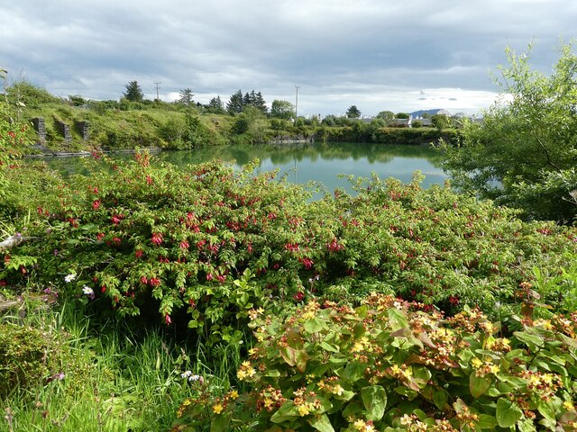
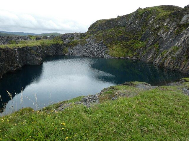
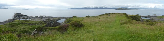
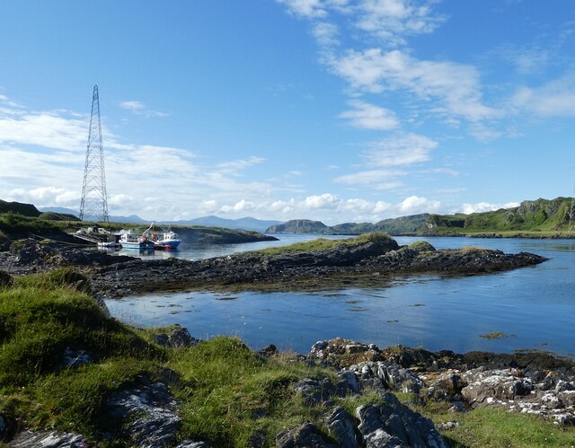
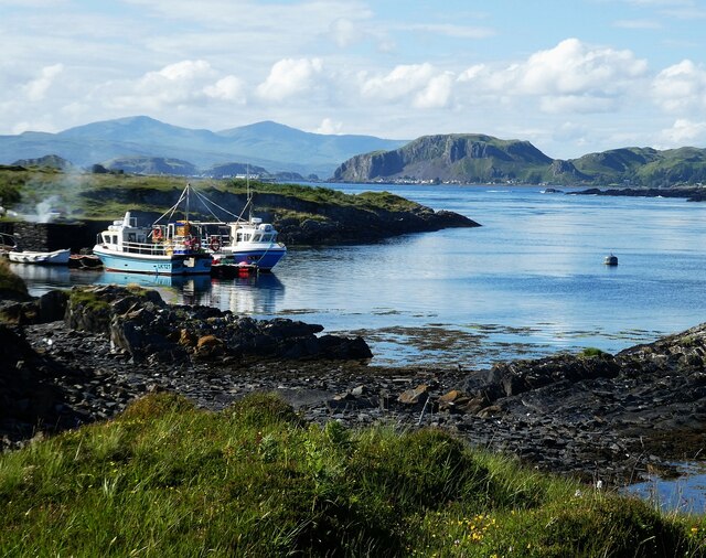
The village of Kilbride is renowned for its natural beauty and is a popular destination for outdoor enthusiasts. The surrounding area provides ample opportunities for activities such as hiking, fishing, and wildlife watching. Loch Fyne, in particular, attracts anglers with its diverse fish population, including salmon and trout.
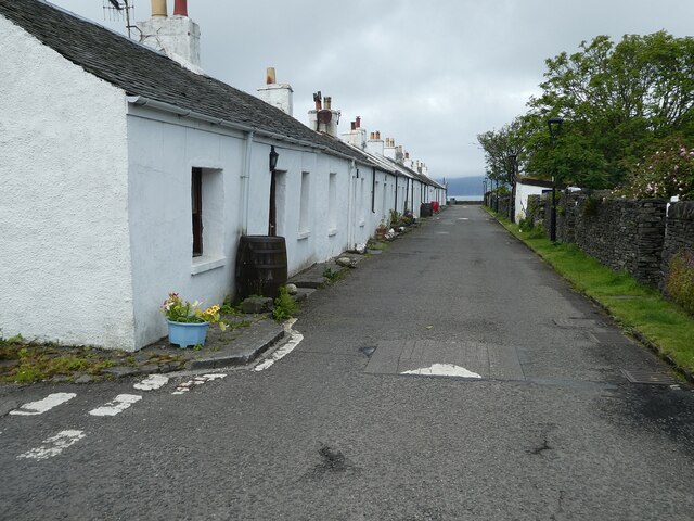
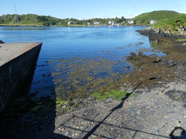
Historically, Kilbride was a hub for the local farming community, and although agriculture remains a significant part of the village's economy, it has also embraced tourism in recent years. Visitors can explore the charming streets of Kilbride, which are lined with traditional Scottish cottages, as well as enjoy the warm hospitality of the local bed and breakfast accommodations.
For history enthusiasts, Kilbride is home to the ancient Kilmory Knap Chapel, a well-preserved medieval church that dates back to the 12th century. The chapel provides a glimpse into the region's rich cultural heritage and attracts visitors interested in historical architecture.
Overall, Kilbride offers a peaceful retreat for those seeking a break from the hustle and bustle of city life. Its natural beauty, outdoor activities, and historical landmarks make it an attractive destination for tourists and a cherished home for its residents.
If you have any feedback on the listing, please let us know in the comments section below.
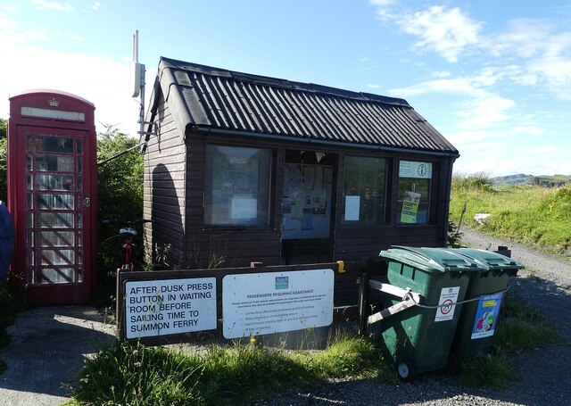
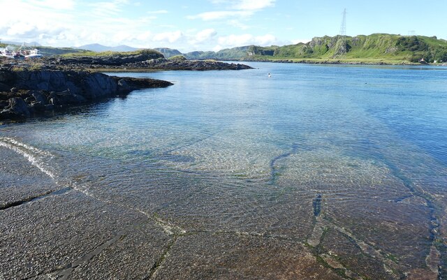
Kilbride Images
Images are sourced within 2km of 56.282947/-5.6366479 or Grid Reference NM7516. Thanks to Geograph Open Source API. All images are credited.
Kilbride is located at Grid Ref: NM7516 (Lat: 56.282947, Lng: -5.6366479)
Unitary Authority: Argyll and Bute
Police Authority: Argyll and West Dunbartonshire
What 3 Words
///automatic.sped.unable. Near Lochbuie, Argyll & Bute
Nearby Locations
Related Wikis

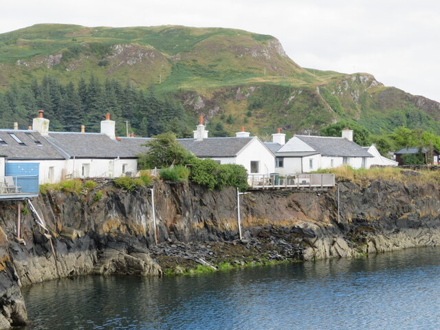
Ellenabeich
Ellenabeich (Scottish Gaelic: Eilean nam Beitheach, meaning "island of the birchwoods.") is a small village on the isle of Seil (Scottish Gaelic: Saoil...

Easdale
Easdale (Scottish Gaelic: Eilean Èisdeal) is one of the Slate Islands, in the Firth of Lorn, Scotland. Once the centre of the Scottish slate industry,...

Cuan Sound
Cuan Sound is a narrow channel, 200 metres (660 ft) wide, located in Argyll, western Scotland. It separates Seil and Luing and later becomes the Firth...
Balvicar
Balvicar (Scottish Gaelic: Baile a' Bhiocair) is a village on the island of Seil, a small island seven miles (eleven kilometres) southwest of Oban, Scotland...

Seil
Seil (; Scottish Gaelic: Saoil, Scottish Gaelic pronunciation: [ˈs̪ɯːl]) is one of the Slate Islands, located on the east side of the Firth of Lorn, 7...
Torsa
Torsa (occasionally Torsay) is one of the Slate Islands in Argyll and Bute, Scotland. Lying east of Luing and south of Seil, this tidal island was inhabited...
Slate Islands
The Slate Islands are an island group in the Inner Hebrides, lying immediately off the west coast of Scotland, north of Jura and southwest of Oban. The...

Fladda, Slate Islands
Fladda is one of the Slate Islands, off the west coast of Argyll and Bute, Scotland. Fladda is an islet in the Sound of Luing, between Luing and Belnahua...
Nearby Amenities
Located within 500m of 56.282947,-5.6366479Have you been to Kilbride?
Leave your review of Kilbride below (or comments, questions and feedback).