Pernagie Brow
Coastal Marsh, Saltings in Cornwall
England
Pernagie Brow

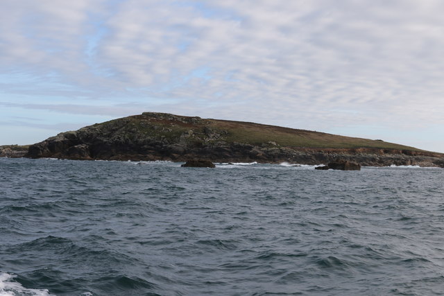
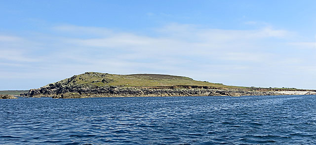
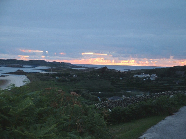
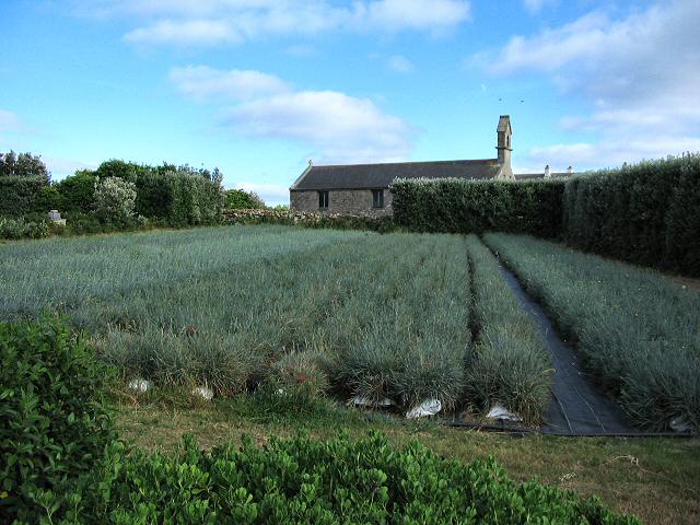
Pernagie Brow is a coastal marsh and saltings located in Cornwall, England. Situated along the picturesque coastline, this area is known for its unique ecosystem and breathtaking natural beauty.
The marsh is characterized by its diverse vegetation, including reeds, grasses, and salt-tolerant plants that thrive in the brackish water. These plants provide shelter and breeding grounds for various bird species, making Pernagie Brow an important site for ornithologists and birdwatchers.
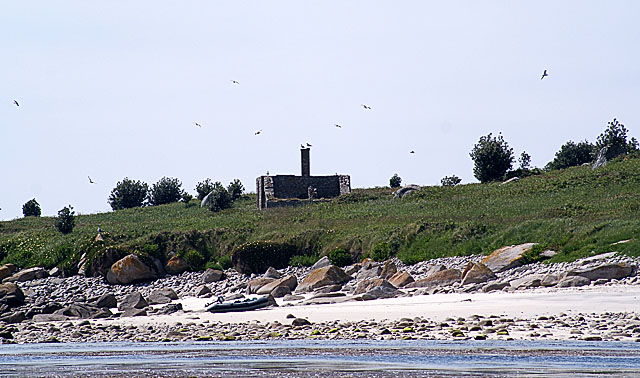
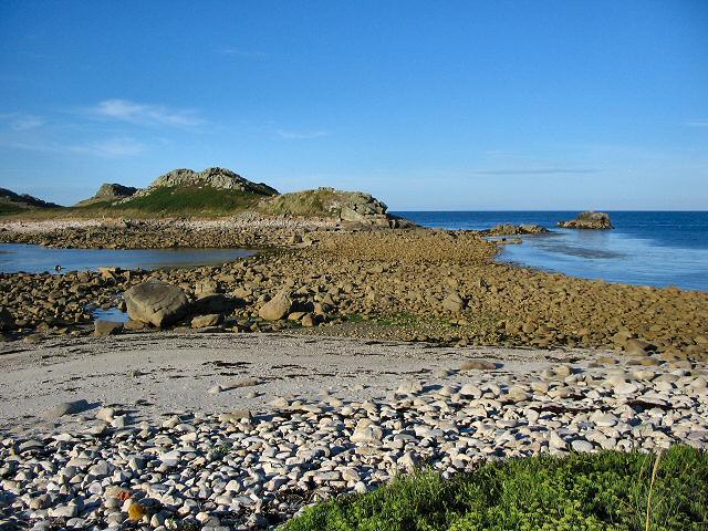
The saltings, or salt marshes, are formed by the tidal flow of seawater, creating a habitat that is teeming with life. The intertidal mudflats are home to a wide range of marine organisms, such as clams, crabs, and small fish. Additionally, the saltings attract migratory birds during the winter months, as they provide an abundant food source.
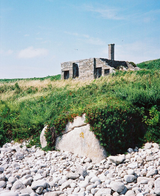
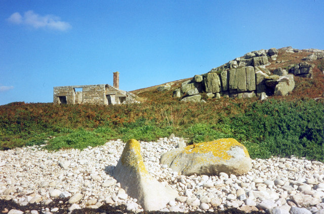
The landscape of Pernagie Brow is a combination of mudflats, saltmarsh, and shallow pools. The changing tides and the constant interplay of water and land create a dynamic environment that supports a rich biodiversity. This area is also a popular spot for nature enthusiasts, who can explore the marsh and its surroundings through walking trails and observation points.
Pernagie Brow is not only a haven for wildlife but also an important site for scientific research and conservation efforts. The local authorities and environmental organizations work together to protect this fragile ecosystem and maintain its ecological balance.
With its stunning coastal views, diverse flora and fauna, and scientific significance, Pernagie Brow stands as a testament to the beauty and importance of preserving our natural habitats.
If you have any feedback on the listing, please let us know in the comments section below.
Pernagie Brow Images
Images are sourced within 2km of 49.976313/-6.3000168 or Grid Reference SV9117. Thanks to Geograph Open Source API. All images are credited.


Pernagie Brow is located at Grid Ref: SV9117 (Lat: 49.976313, Lng: -6.3000168)
Division: Isles of Scilly
Unitary Authority: Isles of Scilly
Police Authority: Devon and Cornwall
What 3 Words
///drummers.fizzled.forest. Near St Martin's, Isles of Scilly
Nearby Locations
Related Wikis

White Island, Isles of Scilly
White Island (Cornish: Ar Nor, "facing the mainland" or Enys Wynn "white island" ) is one of the larger unpopulated islands of the Isles of Scilly, part...

Middle Town, St Martin's
Middle Town (Cornish: Tregres) is a small settlement on the island of St Martin's in the Isles of Scilly, England. It is situated slightly inland, approximately...

Lower Town, Isles of Scilly
Lower Town (Cornish: Trewoles) is the westernmost settlement on the island of St Martin's in the Isles of Scilly, England. One of the island's two quays...

Teän
Teän ( TEE-ən, sometimes written Tean without the diaeresis; Cornish: Enys Tian) is an uninhabited island to the north of the Isles of Scilly archipelago...

St Martin's, Isles of Scilly
St Martin's (Cornish: Brechiek, lit. 'dappled island') is the northernmost populated island of the Isles of Scilly, England, United Kingdom. It has an...

Round Island Light, Isles of Scilly
Round Island Lighthouse (Cornish: Golowji an Voth "the hump lighthouse"), in the Isles of Scilly was designed by William Tregarthen Douglass for Trinity...

St Helen's, Isles of Scilly
St Helen's (Cornish: Enys Elyd or Enys Elidius) is one of the fifty or so uninhabited islands in the archipelago of the Isles of Scilly and has an approximate...

St Martin's Church, St Martin's
St Martin's Church, St Martin's is a Grade II listed parish church in the Church of England located in St Martin's, Isles of Scilly, UK. == History... ==
Have you been to Pernagie Brow?
Leave your review of Pernagie Brow below (or comments, questions and feedback).