St Martin's Flats
Coastal Marsh, Saltings in Cornwall
England
St Martin's Flats

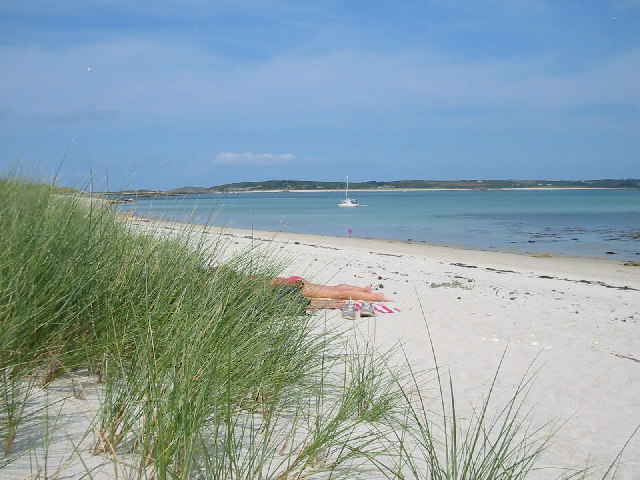
St Martin's Flats is a picturesque coastal area located in Cornwall, England. Situated amidst the stunning landscape of Coastal Marsh and Saltings, this region offers a unique blend of natural beauty and diverse wildlife.
The flats are characterized by their vast expanse of marshland, which is intersected by several small tidal creeks. These creeks are influenced by the ebb and flow of the nearby Atlantic Ocean, creating an ever-changing environment that supports a rich ecosystem of flora and fauna.
The marshes of St Martin's Flats are home to a wide variety of plant species, including sea lavender, samphire, and sea aster. These plants have adapted to the saline conditions of the area, thriving in the brackish water that is a result of the daily tidal fluctuations.
In addition to the abundant plant life, St Martin's Flats also provides a vital habitat for numerous bird species. Visitors to the area can catch glimpses of wading birds such as herons, curlews, and oystercatchers, as well as migratory species that make a stopover during their journeys.
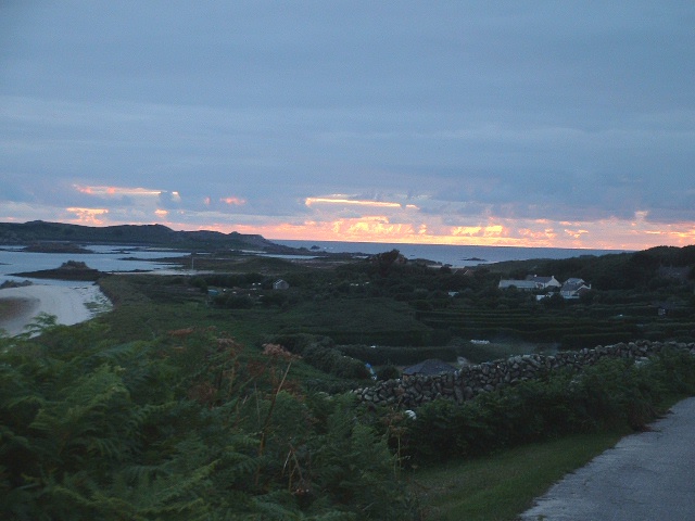
The natural beauty of St Martin's Flats is further enhanced by its tranquil atmosphere and stunning panoramic views. The flats offer a sense of seclusion and serenity, allowing visitors to escape the hustle and bustle of everyday life and immerse themselves in the peacefulness of nature.
Overall, St Martin's Flats in Cornwall is a haven for nature enthusiasts, offering a unique and diverse ecosystem that showcases the beauty and resilience of coastal marshlands. It is a place where visitors can appreciate the wonders of the natural world and experience a true sense of connection with the environment.
If you have any feedback on the listing, please let us know in the comments section below.
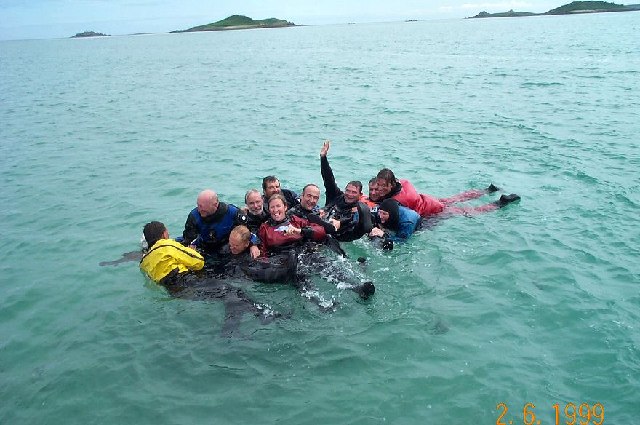
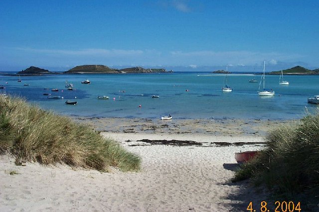
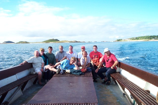
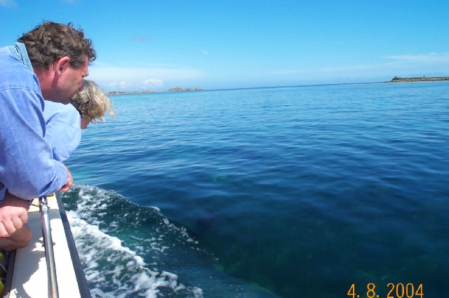
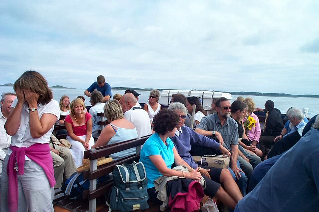
St Martin's Flats Images
Images are sourced within 2km of 49.961846/-6.2951128 or Grid Reference SV9215. Thanks to Geograph Open Source API. All images are credited.


St Martin's Flats is located at Grid Ref: SV9215 (Lat: 49.961846, Lng: -6.2951128)
Division: Isles of Scilly
Unitary Authority: Isles of Scilly
Police Authority: Devon and Cornwall
What 3 Words
///hushed.stilted.painters. Near St Martin's, Isles of Scilly
Nearby Locations
Related Wikis

Middle Town, St Martin's
Middle Town (Cornish: Tregres) is a small settlement on the island of St Martin's in the Isles of Scilly, England. It is situated slightly inland, approximately...

St Martin's, Isles of Scilly
St Martin's (Cornish: Brechiek, lit. 'dappled island') is the northernmost populated island of the Isles of Scilly, England, United Kingdom. It has an...

Lower Town, Isles of Scilly
Lower Town (Cornish: Trewoles) is the westernmost settlement on the island of St Martin's in the Isles of Scilly, England. One of the island's two quays...

St Martin's Church, St Martin's
St Martin's Church, St Martin's is a Grade II listed parish church in the Church of England located in St Martin's, Isles of Scilly, UK. == History... ==

St Martin's Methodist Church, Isles of Scilly
The Methodist Church, St Martin's, Isles of Scilly is a Grade II listed chapel in St Martin's, Isles of Scilly. == History == Bible Christians arrived...

Higher Town, Isles of Scilly
Higher Town (Cornish: Trewartha) is the easternmost and largest settlement on the island of St Martin's in the Isles of Scilly, England. It is situated...

Teän
Teän ( TEE-ən, sometimes written Tean without the diaeresis; Cornish: Enys Tian) is an uninhabited island to the north of the Isles of Scilly archipelago...

White Island, Isles of Scilly
White Island (Cornish: Ar Nor, "facing the mainland" or Enys Wynn "white island" ) is one of the larger unpopulated islands of the Isles of Scilly, part...
Nearby Amenities
Located within 500m of 49.961846,-6.2951128Have you been to St Martin's Flats?
Leave your review of St Martin's Flats below (or comments, questions and feedback).