Rubh' an Fhiodha

Coastal Marsh, Saltings in Inverness-shire

Scotland

Rubh' an Fhiodha

Lochmaddy/Loch nam Madadh
Lochmaddy/Loch nam Madadh Credit: Sandy Gerrard

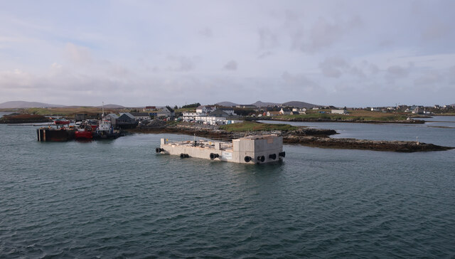
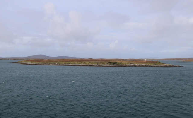
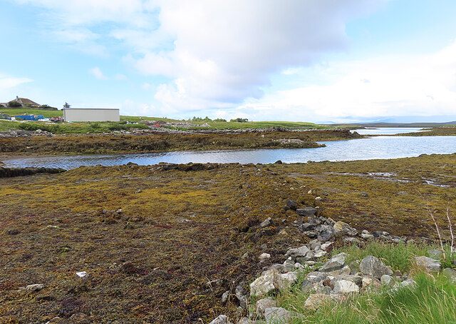
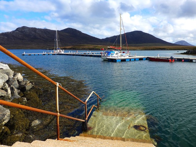
Rubh' an Fhiodha, located in Inverness-shire, Scotland, is a coastal marsh and saltings area of significant ecological importance. Stretching over a vast expanse of land, this marsh is characterized by its unique blend of coastal flora and fauna, making it a haven for wildlife and a popular spot for nature enthusiasts.

The marsh is situated along the coastline, with its terrain varying from sandy beaches to wetlands and mudflats. These diverse habitats provide a home for a wide range of plant and animal species. The saltings, or salt marshes, are particularly notable for their ability to support salt-tolerant vegetation such as sea lavender, samphire, and sea aster. These plants not only provide shelter and food for various bird species but also help stabilize the marshland soil.

Rubh' an Fhiodha is an important stopover site for migratory birds, attracting a wide variety of species throughout the year. Visitors may spot waders like curlews, oystercatchers, and redshanks, as well as terns, gulls, and herons. The marsh also serves as a breeding ground for several bird species, including the elusive bittern.

Aside from its avian residents, Rubh' an Fhiodha is also home to a diverse range of invertebrates, such as crabs, snails, and worms. These creatures play an essential role in the marsh ecosystem, supporting the food chain and contributing to nutrient cycling.

Thanks to its exceptional biodiversity and ecological value, Rubh' an Fhiodha is a designated Site of Special Scientific Interest (SSSI). Its preservation and conservation are paramount to maintaining the delicate balance of this coastal marsh and protecting the numerous species that call it home.

If you have any feedback on the listing, please let us know in the comments section below.

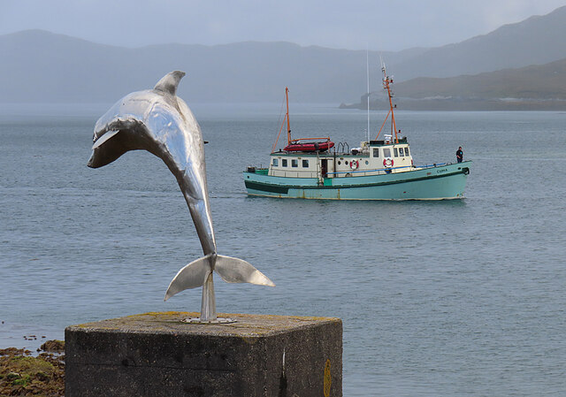
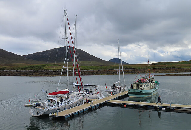
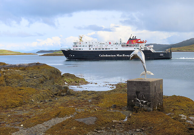
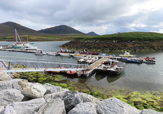
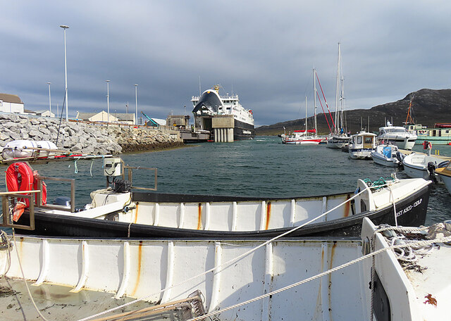
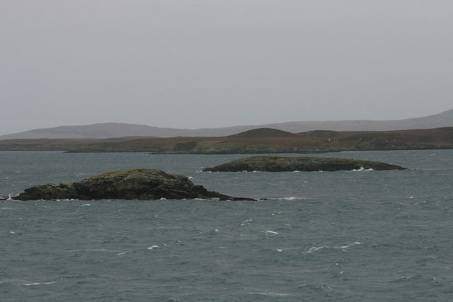
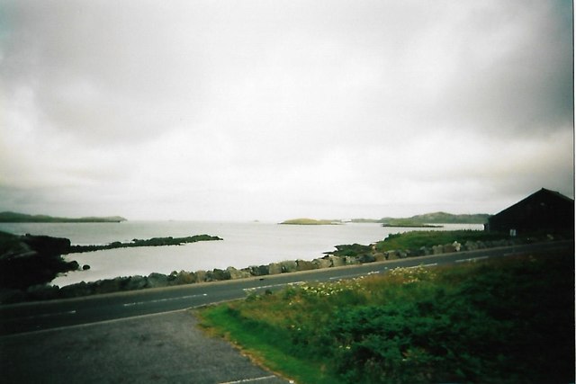
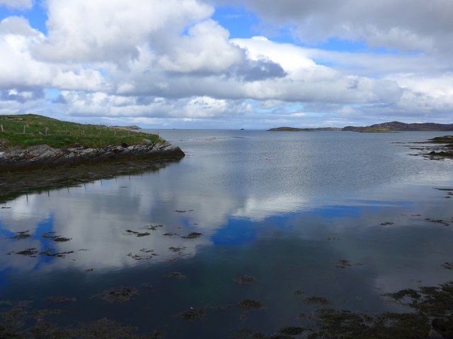
Rubh' an Fhiodha Images

Images are sourced within 2km of 57.610631/-7.1527522 or Grid Reference NF9269. Thanks to Geograph Open Source API. All images are credited.

Lochmaddy/Loch nam Madadh
Works ongoing at Lochmaddy Pier See <a href="https://www.geograph.org.uk/photo/2897842">NF9267 : Lochmaddy Pier</a> for an earlier view.
Works ongoing at Lochmaddy Pier
See NF9267 : Lochmaddy Pier for an earlier view.
Hamarsaigh From the ferry into Lochmaddy.
Hamarsaigh
From the ferry into Lochmaddy.
Seaweed at Lochmaddy At low tide there is a very large expanse of rocks covered in vegetation here.
Seaweed at Lochmaddy
At low tide there is a very large expanse of rocks covered in vegetation here.
Taigh Chearsabhagh The buildings house a museum and arts centre, and a café with excellent home baking.
Taigh Chearsabhagh
The buildings house a museum and arts centre, and a café with excellent home baking.
MV 'Hebrides' at Lochmaddy The MV 'Hebrides' is the ferry from Uig in Skye to Tarbert in Harris and Lochmaddy in South Uist. Until the Berneray causeway was built and the Sound of Harris ferry service started, this was the only way to get from the northern to the southern Western Isles.
MV 'Hebrides' at Lochmaddy
The MV 'Hebrides' is the ferry from Uig in Skye to Tarbert in Harris and Lochmaddy in South Uist. Until the Berneray causeway was built and the Sound of Harris ferry service started, this was the only way to get from the northern to the southern Western Isles.
MV 'Cuma' The MV 'Cuma' is available for charter and regularly makes trips to St Kilda from her base in Miavaig in West Lewis. This week she was coming in to pick up a party of botanists on their way to survey the islands south of Barra. Pictured passing the dolphin statue outside the Caledonian MacBrayne office and terminal at Lochmaddy.
MV 'Cuma'
The MV 'Cuma' is available for charter and regularly makes trips to St Kilda from her base in Miavaig in West Lewis. This week she was coming in to pick up a party of botanists on their way to survey the islands south of Barra. Pictured passing the dolphin statue outside the Caledonian MacBrayne office and terminal at Lochmaddy.
Lochmaddy Marina The outermost pontoons at Lochmaddy, in use by a handful of pleasure boats.
Lochmaddy Marina
The outermost pontoons at Lochmaddy, in use by a handful of pleasure boats.
MV 'Hebrides' Leaving Lochmaddy The ferry is setting off for Uig in the Isle of Skye.
MV 'Hebrides' Leaving Lochmaddy
The ferry is setting off for Uig in the Isle of Skye.
Lochmaddy Marina This is very nearly the whole of the marina, which is used by commercial and pleasure boats.
Lochmaddy Marina
This is very nearly the whole of the marina, which is used by commercial and pleasure boats.
Lochmaddy Marina and Ferry Terminal MV 'Hebrides' at the ferry pier, from the pontoon giving access to the marina.
Lochmaddy Marina and Ferry Terminal
MV 'Hebrides' at the ferry pier, from the pontoon giving access to the marina.
On final approach to Loch Maddy I boarded the ferry at Tarbert, Isle of Harris a couple of hours ago and was told that the ferry had a change of plan and instead of going directly to Uig on Skye was now going via Loch Maddy on North Uist. All at no extra cost!
On final approach to Loch Maddy
I boarded the ferry at Tarbert, Isle of Harris a couple of hours ago and was told that the ferry had a change of plan and instead of going directly to Uig on Skye was now going via Loch Maddy on North Uist. All at no extra cost!
Go on, read it for yourself...
An Glais-eilean Meadhonach Mind your navigation in these waters! Can you imagine sailing into Loch Maddy on foggy days prior to the advent of radar, radio beacons, and sonar?
An Glais-eilean Meadhonach
Mind your navigation in these waters! Can you imagine sailing into Loch Maddy on foggy days prior to the advent of radar, radio beacons, and sonar?
Shore and small islands at Lochmaddy
Bagh Kersavagh, Lochmaddy The English is, I guess, Kersavay Bay.
Bagh Kersavagh, Lochmaddy
The English is, I guess, Kersavay Bay.
Pontoons at Lochmaddy And just look at the clarity of the water!
Pontoons at Lochmaddy
And just look at the clarity of the water!
Fish quay, Lochmaddy
Show me another place!

Rubh' an Fhiodha is located at Grid Ref: NF9269 (Lat: 57.610631, Lng: -7.1527522)

Unitary Authority: Na h-Eileanan an Iar

Police Authority: Highlands and Islands

What 3 Words

///riskiest.hindered.blotchy. Near Lochmaddy, Na h-Eileanan Siar

Related Wikis

Lochmaddy

Lochmaddy (Scottish Gaelic: Loch nam Madadh [l̪ˠɔx nə ˈmat̪əɣ], "Loch of the Hounds") is the administrative centre of North Uist in the Outer Hebrides...
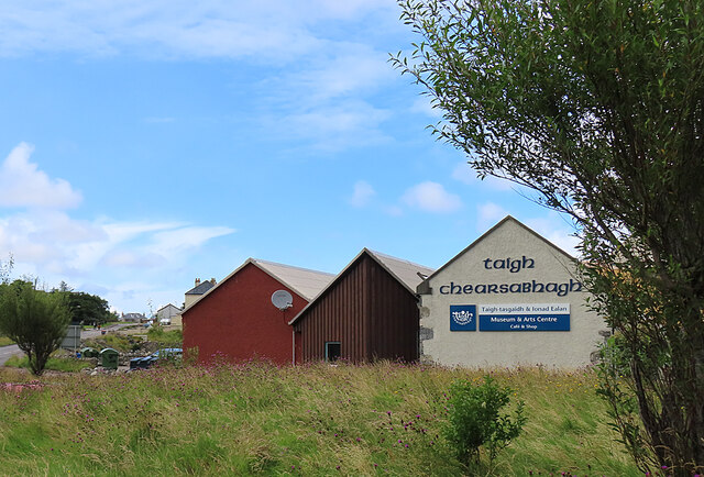
Taigh Chearsabhagh

Taigh Chearsabhagh is an arts centre and museum in Lochmaddy on the island of North Uist, Scotland.Taigh Chearsabhagh was built in 1741 and originally...

Ceallasaigh Beag

Ceallasaigh Beag (or Keallasay Beg) is a low-lying island in Loch Maddy off North Uist in the Outer Hebrides of Scotland. This an area of shallow lagoons...

Ceallasaigh Mòr

Ceallasaigh Mòr (or Keallasay More) is a low-lying island in Loch Maddy off North Uist in the Outer Hebrides of Scotland. This an area of shallow lagoons...

Weavers Point

Weavers Point (Scottish Gaelic: Rubha an Fhigheadair) is a headland to the north of the entrance to Loch Maddy, on the north eastern coastline of North...

Na Fir Bhrèige

Na Fir Bhrèige (pronounced [nə fiɾʲ ˈvɾʲeːkʲə]; can be translated from Gaelic into English as "The False Men") is a set of three standing stones on the...

Loch an Duin

Loch an Duin is a complex system of freshwater, brackish and sea lochs, tidal channels and islands, on and close to North Uist off the west coast of Scotland...

Stromay

Stromay (Scottish Gaelic: Sròmaigh) is a tidal island off North Uist in the Sound of Harris, Scotland. The low island of Stromay lies between two wide...

Nearby Amenities

Located within 500m of 57.610631,-7.1527522
Barrier: cattle_grid
Lat/Long: 57.6120187/-7.1548677
Both nam Faileas
Artist Name: Chris Drury
Artwork Type: architecture
Name En: Hut of the Shadow
Name Gd: Both nam Faileas
Tourism: artwork
Website: http://chrisdrury.co.uk/both-nam-faileas-hut-of-the-shadow/
Lat/Long: 57.610001/-7.1537324
Spònais
Name En: Sponish
Name Gd: Spònais
Place: hamlet
Lat/Long: 57.6117852/-7.1567774
Power: pole
Lat/Long: 57.6122336/-7.1583542
Passing Place
Lat/Long: 57.6120688/-7.1588092
Barrier: cattle_grid
Lat/Long: 57.6120069/-7.1564687
Power: pole
Lat/Long: 57.6099908/-7.158955
Generator Method: wind_turbine
Generator Source: wind
Generator Type: horizontal_axis
Power: generator
Lat/Long: 57.6104829/-7.1598093
Generator Method: wind_turbine
Generator Source: wind
Generator Type: horizontal_axis
Power: generator
Lat/Long: 57.6104901/-7.1603149
Barrier: cattle_grid
Lat/Long: 57.610707/-7.1570444
Power: pole
Lat/Long: 57.6117559/-7.1586103
Power: pole
Lat/Long: 57.611113/-7.1583126
Power: pole
Lat/Long: 57.6106396/-7.1580954
Power: pole
Lat/Long: 57.6104445/-7.1582845
Power: pole
Lat/Long: 57.6096306/-7.1589804
Power: pole
Lat/Long: 57.6087783/-7.1589094
Power: pole
Lat/Long: 57.60834/-7.1589071
Power: pole
Lat/Long: 57.6078714/-7.1588985
Sruth Houram
Natural: strait
Lat/Long: 57.6091032/-7.1567971
The data included in this document is from www.openstreetmap.org. The data is made available under ODbL.

Have you been to Rubh' an Fhiodha?

Leave your review of Rubh' an Fhiodha below (or comments, questions and feedback).