Loch nam Madadh
Sea, Estuary, Creek in Inverness-shire
Scotland
Loch nam Madadh

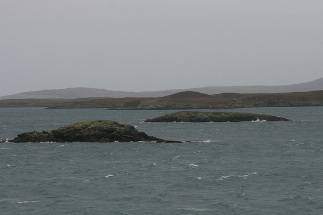
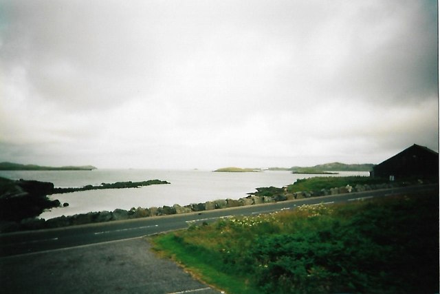
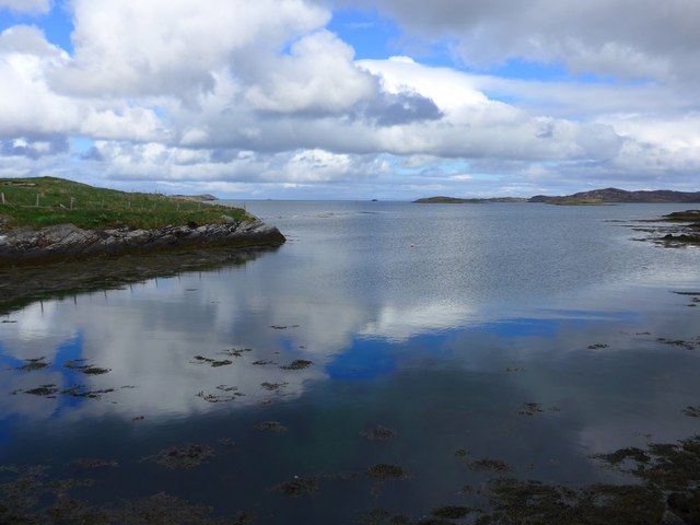
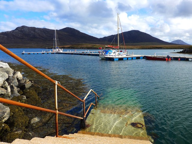
Loch nam Madadh is a beautiful body of water located in Inverness-shire, Scotland. It is classified as a sea loch, which means it is directly connected to the ocean and experiences tidal fluctuations. The loch is situated on the western coast of Inverness-shire, near the small village of Poolewe.
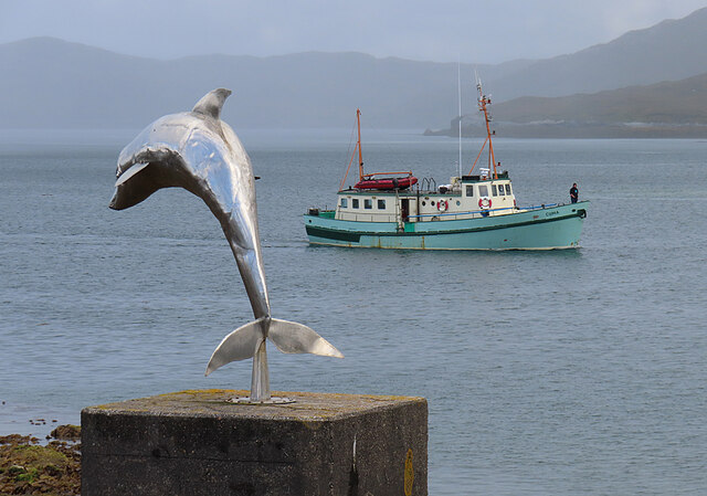
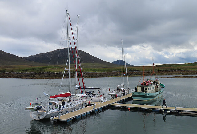
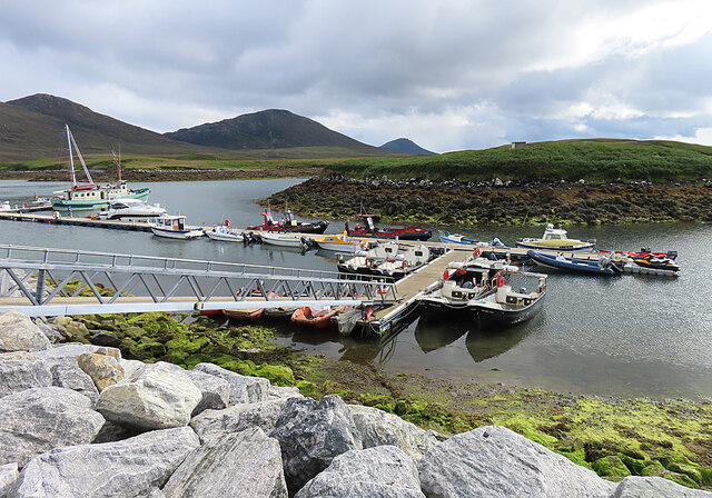
With its stunning landscape and tranquil atmosphere, Loch nam Madadh offers a picturesque setting for visitors and locals alike. Surrounded by rolling hills and dense forests, the loch provides a sense of serenity and natural beauty. The calm, crystal-clear waters of the loch reflect the surrounding landscape, creating a mesmerizing view.
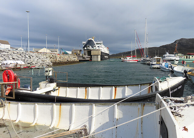
The loch is also an estuary, serving as an important habitat for a diverse range of marine life. The nutrient-rich waters attract various species of fish, making it a popular spot for fishing enthusiasts. Additionally, the surrounding marshes and wetlands provide a haven for numerous bird species, including herons, ducks, and geese.
Loch nam Madadh is also connected to a small creek, which feeds into the loch from a nearby river. This creek adds to the overall charm of the area, with its gentle flow and lush vegetation along its banks.
Overall, Loch nam Madadh is a remarkable destination for nature lovers and those seeking tranquility in the midst of Scotland's rugged beauty. Whether it's exploring the surrounding hills, fishing in the loch, or simply enjoying the peaceful ambiance, Loch nam Madadh offers a truly unforgettable experience.
If you have any feedback on the listing, please let us know in the comments section below.
Loch nam Madadh Images
Images are sourced within 2km of 57.612867/-7.1526336 or Grid Reference NF9269. Thanks to Geograph Open Source API. All images are credited.


Loch nam Madadh is located at Grid Ref: NF9269 (Lat: 57.612867, Lng: -7.1526336)
Unitary Authority: Na h-Eileanan an Iar
Police Authority: Highlands and Islands
Also known as: Loch Maddy
What 3 Words
///safe.mothering.novel. Near Lochmaddy, Na h-Eileanan Siar
Related Wikis

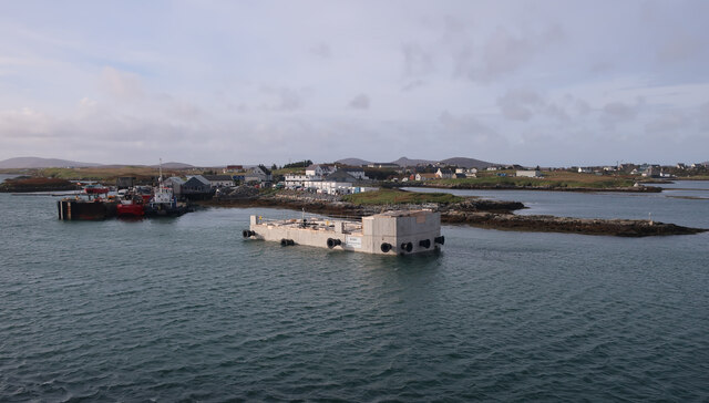
Lochmaddy
Lochmaddy (Scottish Gaelic: Loch nam Madadh [l̪ˠɔx nə ˈmat̪əɣ], "Loch of the Hounds") is the administrative centre of North Uist in the Outer Hebrides...

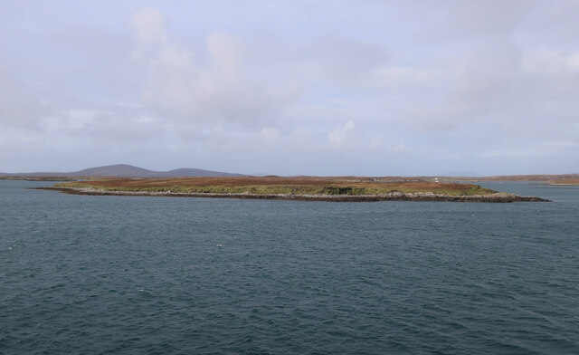
Ceallasaigh Beag
Ceallasaigh Beag (or Keallasay Beg) is a low-lying island in Loch Maddy off North Uist in the Outer Hebrides of Scotland. This an area of shallow lagoons...

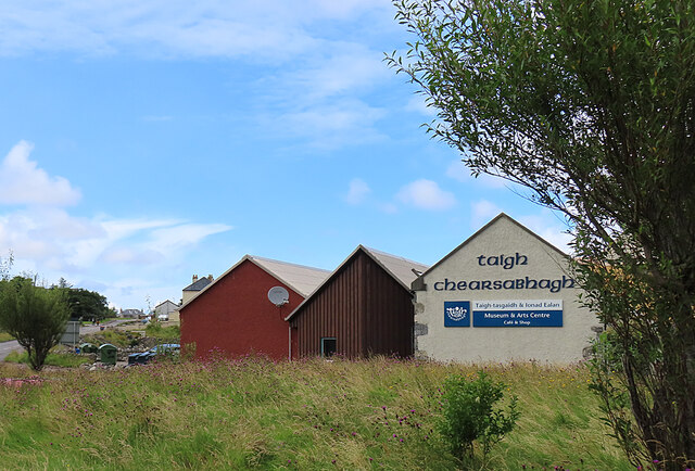
Taigh Chearsabhagh
Taigh Chearsabhagh is an arts centre and museum in Lochmaddy on the island of North Uist, Scotland.Taigh Chearsabhagh was built in 1741 and originally...

Ceallasaigh Mòr
Ceallasaigh Mòr (or Keallasay More) is a low-lying island in Loch Maddy off North Uist in the Outer Hebrides of Scotland. This an area of shallow lagoons...
Weavers Point
Weavers Point (Scottish Gaelic: Rubha an Fhigheadair) is a headland to the north of the entrance to Loch Maddy, on the north eastern coastline of North...

Na Fir Bhrèige
Na Fir Bhrèige (pronounced [nə fiɾʲ ˈvɾʲeːkʲə]; can be translated from Gaelic into English as "The False Men") is a set of three standing stones on the...
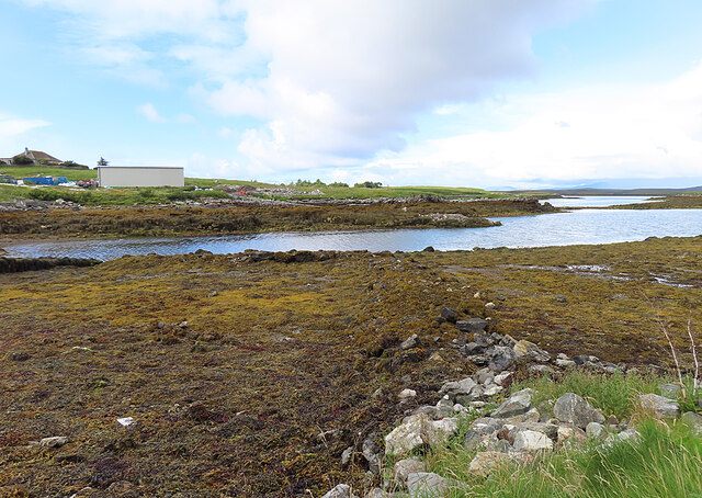
Loch an Duin
Loch an Duin is a complex system of freshwater, brackish and sea lochs, tidal channels and islands, on and close to North Uist off the west coast of Scotland...
Stromay
Stromay (Scottish Gaelic: Sròmaigh) is a tidal island off North Uist in the Sound of Harris, Scotland. The low island of Stromay lies between two wide...
Nearby Amenities
Located within 500m of 57.612867,-7.1526336Have you been to Loch nam Madadh?
Leave your review of Loch nam Madadh below (or comments, questions and feedback).