Rubha nan Gall
Coastal Feature, Headland, Point in Inverness-shire
Scotland
Rubha nan Gall

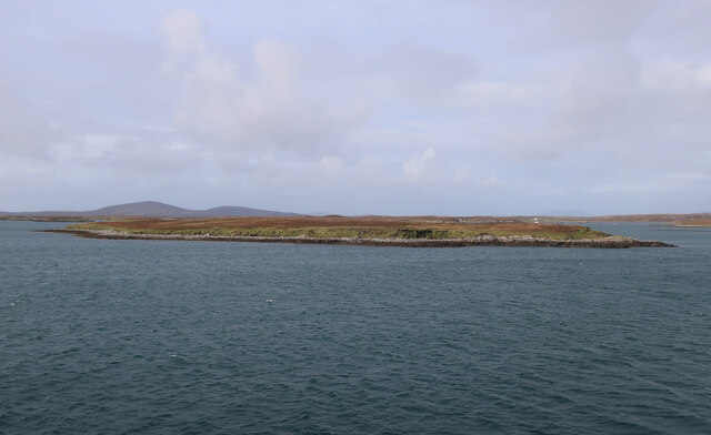
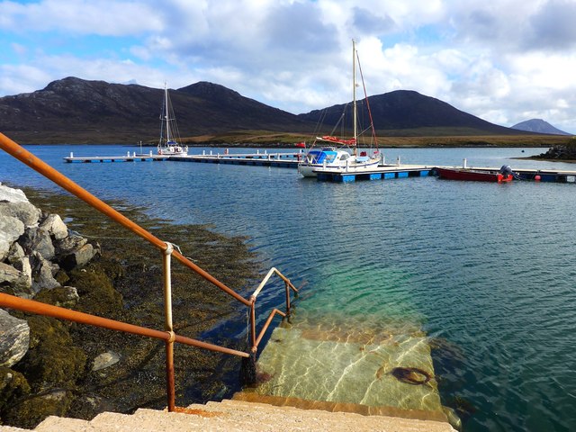
Rubha nan Gall, located in Inverness-shire, Scotland, is a picturesque coastal headland that is known for its stunning natural beauty and historical significance. With its Gaelic name meaning "headland of the strangers," it carries a rich heritage and offers a unique experience for visitors.
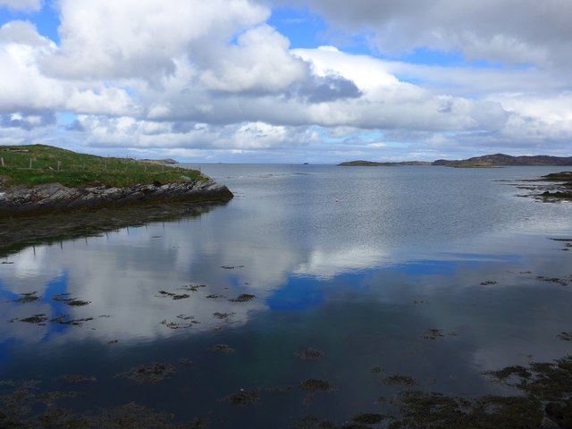
Situated on the west coast of Scotland, Rubha nan Gall extends into the North Atlantic Ocean, offering breathtaking panoramic views of the surrounding landscape. The headland is defined by steep cliffs that rise majestically from the sea, providing a dramatic backdrop against the crashing waves. The rugged terrain is covered in lush vegetation, including heather, grasses, and wildflowers, creating a vibrant and colorful landscape.
Rubha nan Gall holds historical importance due to its association with the Norsemen who inhabited the area centuries ago. It served as a strategic point for Vikings during their expeditions along the Scottish coast. The headland is home to the ruins of a Norse settlement, including a small chapel and burial grounds. These remnants provide a glimpse into the lives of these ancient seafarers and their influence on the region.
In addition to its historical significance, Rubha nan Gall is also a haven for wildlife enthusiasts. The headland provides a habitat for a variety of bird species, including puffins, guillemots, and razorbills. Visitors can observe these magnificent creatures in their natural environment, making it a popular spot for birdwatching.
Overall, Rubha nan Gall is a captivating coastal feature that combines natural beauty, historical significance, and abundant wildlife. Whether exploring the Norse ruins, admiring the stunning views, or observing the diverse birdlife, visitors are sure to be enthralled by this remarkable headland in Inverness-shire.
If you have any feedback on the listing, please let us know in the comments section below.
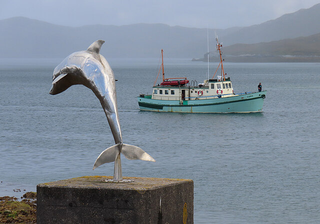
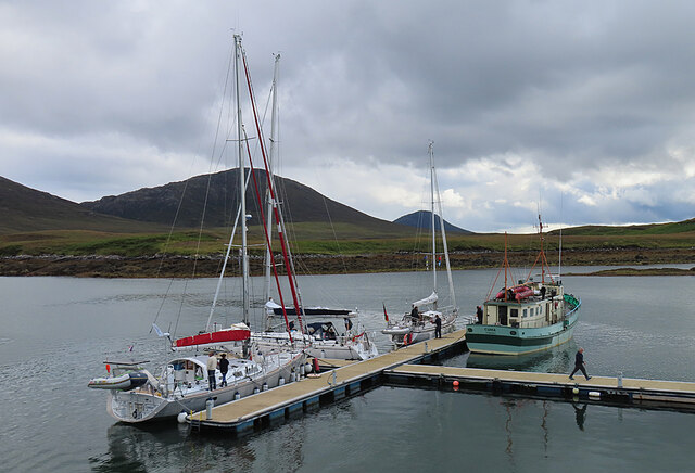
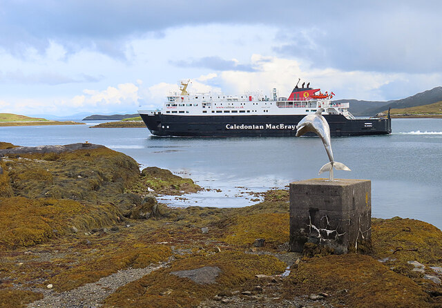
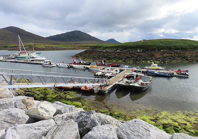
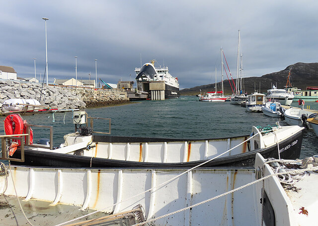
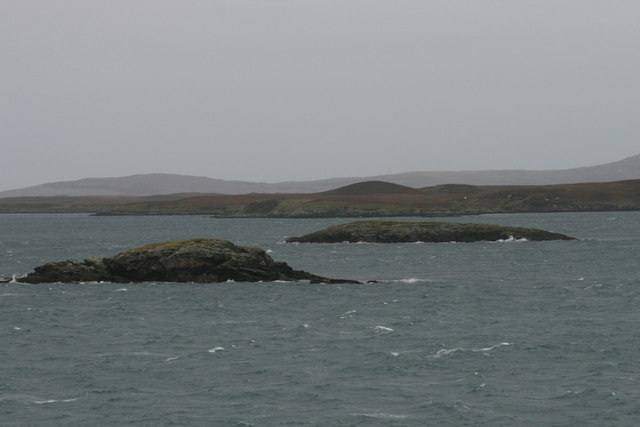
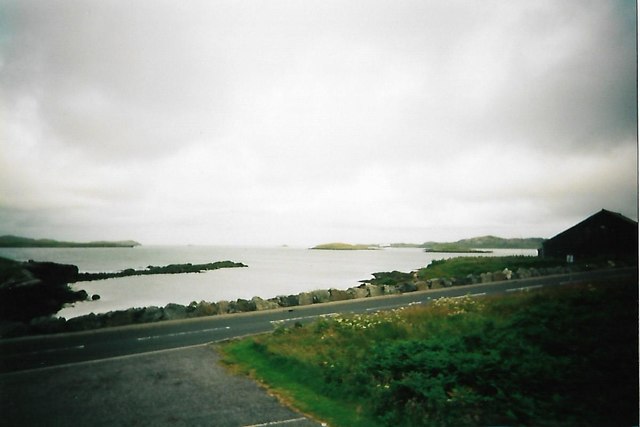
Rubha nan Gall Images
Images are sourced within 2km of 57.605771/-7.1556332 or Grid Reference NF9269. Thanks to Geograph Open Source API. All images are credited.


Rubha nan Gall is located at Grid Ref: NF9269 (Lat: 57.605771, Lng: -7.1556332)
Unitary Authority: Na h-Eileanan an Iar
Police Authority: Highlands and Islands
What 3 Words
///powerful.sunset.afraid. Near Lochmaddy, Na h-Eileanan Siar
Nearby Locations
Related Wikis

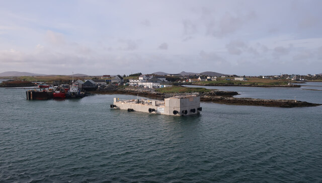
Lochmaddy
Lochmaddy (Scottish Gaelic: Loch nam Madadh [l̪ˠɔx nə ˈmat̪əɣ], "Loch of the Hounds") is the administrative centre of North Uist in the Outer Hebrides...

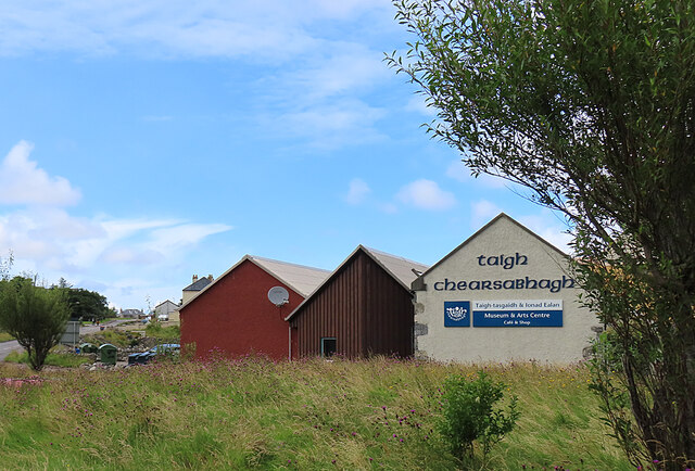
Taigh Chearsabhagh
Taigh Chearsabhagh is an arts centre and museum in Lochmaddy on the island of North Uist, Scotland.Taigh Chearsabhagh was built in 1741 and originally...

Ceallasaigh Beag
Ceallasaigh Beag (or Keallasay Beg) is a low-lying island in Loch Maddy off North Uist in the Outer Hebrides of Scotland. This an area of shallow lagoons...

Weavers Point
Weavers Point (Scottish Gaelic: Rubha an Fhigheadair) is a headland to the north of the entrance to Loch Maddy, on the north eastern coastline of North...
Ceallasaigh Mòr
Ceallasaigh Mòr (or Keallasay More) is a low-lying island in Loch Maddy off North Uist in the Outer Hebrides of Scotland. This an area of shallow lagoons...

Na Fir Bhrèige
Na Fir Bhrèige (pronounced [nə fiɾʲ ˈvɾʲeːkʲə]; can be translated from Gaelic into English as "The False Men") is a set of three standing stones on the...
Loch an Duin
Loch an Duin is a complex system of freshwater, brackish and sea lochs, tidal channels and islands, on and close to North Uist off the west coast of Scotland...
Stromay
Stromay (Scottish Gaelic: Sròmaigh) is a tidal island off North Uist in the Sound of Harris, Scotland. The low island of Stromay lies between two wide...
Nearby Amenities
Located within 500m of 57.605771,-7.1556332Have you been to Rubha nan Gall?
Leave your review of Rubha nan Gall below (or comments, questions and feedback).