Àird Thànais

Coastal Feature, Headland, Point in Inverness-shire

Scotland

Àird Thànais

Tidal channels and mud flats Having squeezed into a corner of this square, further progress across the tidal mud flats would appear to be a foolish move. The unnamed islet some 150m away is, according to the OS map, surrounded by sand. In reality it appears to be a rather sicky mud.
Tidal channels and mud flats Credit: Gordon Hatton

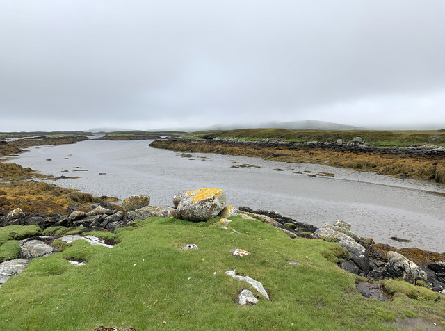
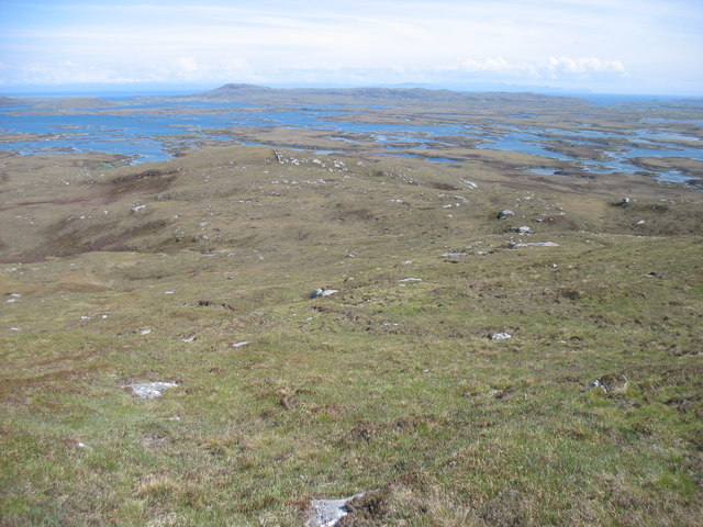
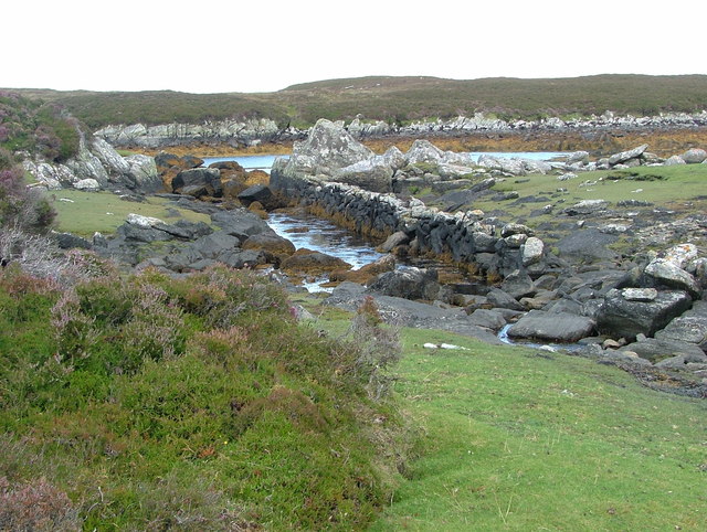
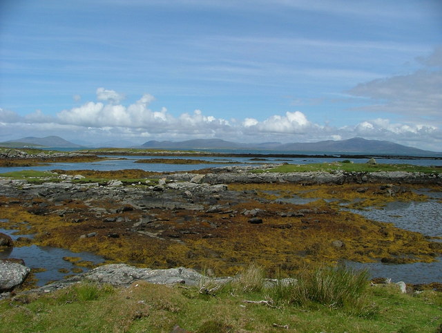
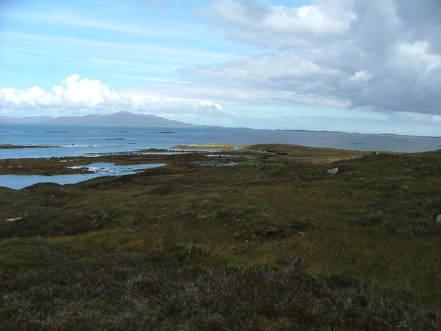
Àird Thànais is a picturesque coastal feature located in Inverness-shire, Scotland. Situated on the western coast, it is specifically classified as a headland, also known as a point. The headland is known for its stunning natural beauty and panoramic views of the surrounding area.

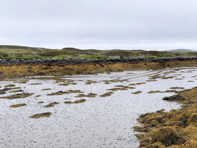
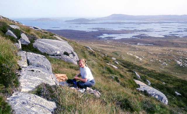
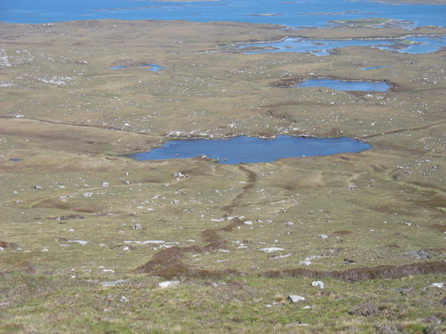
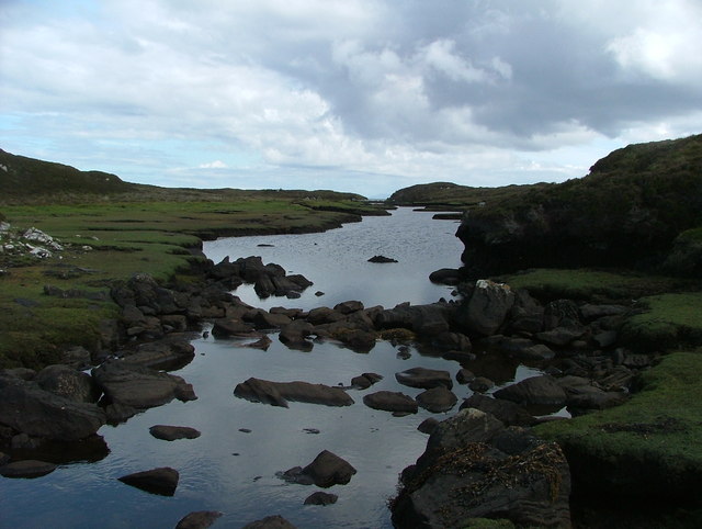
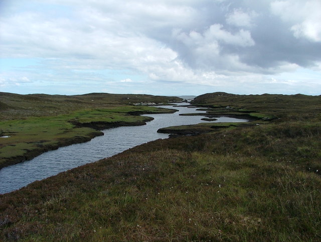
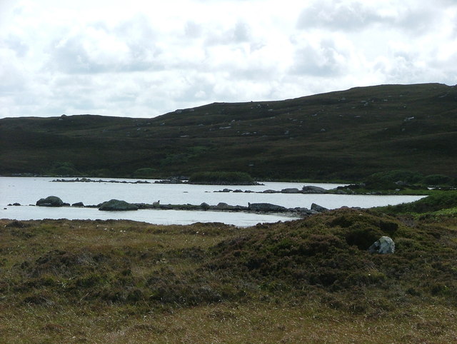
At Àird Thànais, visitors can expect to find a rugged and rocky landscape, characteristic of many headlands. The cliffs that line the coastline provide a dramatic backdrop to the crashing waves of the North Atlantic Ocean. The headland offers breathtaking views of the open sea, with its clear blue waters extending as far as the eye can see.

The area surrounding Àird Thànais is abundant in wildlife, making it a popular spot for nature enthusiasts. Seabirds such as gulls and fulmars can often be spotted soaring above the cliffs, while seals and dolphins occasionally make appearances in the waters below.

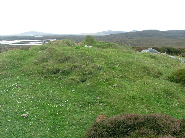
Access to Àird Thànais is relatively easy, with a well-maintained footpath leading visitors to the headland. The path winds its way through lush greenery and offers several viewpoints along the way, allowing visitors to fully appreciate the stunning coastal scenery.

Overall, Àird Thànais is a must-visit destination for anyone seeking to immerse themselves in the beauty of Scotland's rugged coastline. With its breathtaking views, diverse wildlife, and easy accessibility, it is a place that truly captivates the senses and leaves a lasting impression on all who visit.

If you have any feedback on the listing, please let us know in the comments section below.
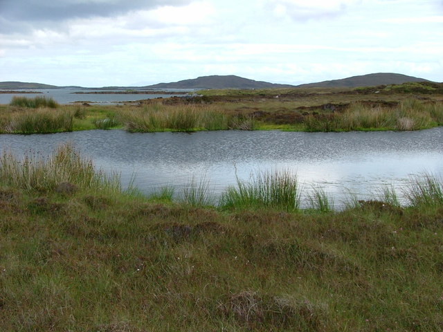
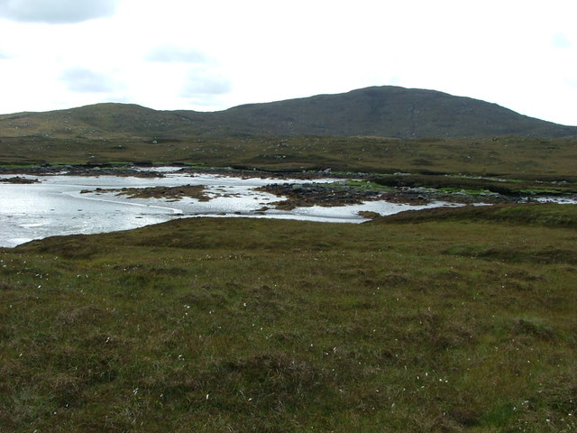
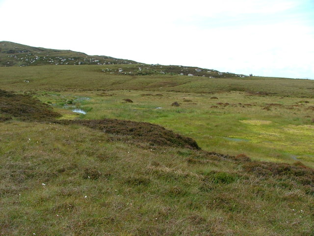
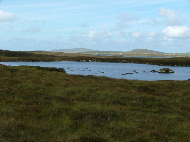
Àird Thànais Images

Images are sourced within 2km of 57.665853/-7.1648162 or Grid Reference NF9275. Thanks to Geograph Open Source API. All images are credited.

Tidal channels and mud flats Having squeezed into a corner of this square, further progress across the tidal mud flats would appear to be a foolish move. The unnamed islet some 150m away is, according to the OS map, surrounded by sand. In reality it appears to be a rather sicky mud.
Tidal channels and mud flats
Having squeezed into a corner of this square, further progress across the tidal mud flats would appear to be a foolish move. The unnamed islet some 150m away is, according to the OS map, surrounded by sand. In reality it appears to be a rather sicky mud.
A maze of muddy channels Looking east from the Rubha Dubh promontory across a maze of muddy channels, exposed rocks and little islands.
A maze of muddy channels
Looking east from the Rubha Dubh promontory across a maze of muddy channels, exposed rocks and little islands.
Tidal channel between Aird Innis and Aird nan Laogh Seen close to low tide. Aird Innis, almost a separate island is on the far side of the mud.
Tidal channel between Aird Innis and Aird nan Laogh
Seen close to low tide. Aird Innis, almost a separate island is on the far side of the mud.
Tidal channel between Aird Innis and Aird nan Laogh Seen close to low tide. Aird Innis, almost a separate island is on the far side of the mud.
Tidal channel between Aird Innis and Aird nan Laogh
Seen close to low tide. Aird Innis, almost a separate island is on the far side of the mud.
On the south slopes of Beinn Bhreac
Loch Dubh na Moine Taken from the east slopes of Beinn Mhor. What was presumably an old enclosure boundary leads down to the loch.
Loch Dubh na Moine
Taken from the east slopes of Beinn Mhor. What was presumably an old enclosure boundary leads down to the loch.
South-east slopes of Beinn Mhor, North Uist
Abhainn Dubh Black River indeed - it flows over and through the peat, and even at close quarters, while clear, appears black.
Abhainn Dubh
Black River indeed - it flows over and through the peat, and even at close quarters, while clear, appears black.
Abhainn Dubh A wider image of the Black River.
Abhainn Dubh
A wider image of the Black River.
Loch Iosal an Duin A lovely loch complete with Dun (just into the next grid-square south).
Loch Iosal an Duin
A lovely loch complete with Dun (just into the next grid-square south).
Outflow from unnamed lochan The dry stone wall follows the burn flowing from the loch, indeed it seems to have been built in the middle of the burn.  It is not marked on the maps.
Outflow from unnamed lochan
The dry stone wall follows the burn flowing from the loch, indeed it seems to have been built in the middle of the burn. It is not marked on the maps.
Greineam from Aird na Muile The fabulous North Uist coastline is dotted with islets, so many of them named, such as Greineam.  The hills in the distance are those of south Harris, with Ceapabhal on the left/west and Roineabhal on the right/east.
Greineam from Aird na Muile
The fabulous North Uist coastline is dotted with islets, so many of them named, such as Greineam. The hills in the distance are those of south Harris, with Ceapabhal on the left/west and Roineabhal on the right/east.
Aird Thormaid across Camas Dubh Sunlight picks out the end of the small peninsula.  The Sound of Harris provides a backdrop.
Aird Thormaid across Camas Dubh
Sunlight picks out the end of the small peninsula. The Sound of Harris provides a backdrop.
Cnoc Mor Thormaid What appears to be a very overgrown cairn on the small hillock of Cnoc Mor Thormaid.  I wonder if it's of any antiquarian interest - there is any amount of neolithic monuments in the wider area.
Cnoc Mor Thormaid
What appears to be a very overgrown cairn on the small hillock of Cnoc Mor Thormaid. I wonder if it's of any antiquarian interest - there is any amount of neolithic monuments in the wider area.
Pool on Aird Thanais This headland is very boggy underfoot - not pleasant walking at all.  The views surrounding it make up for this.
Pool on Aird Thanais
This headland is very boggy underfoot - not pleasant walking at all. The views surrounding it make up for this.
Low tide at Loch Hurabhaig Beinn Mhor in the background
Low tide at Loch Hurabhaig
Beinn Mhor in the background
Feur-lochan A bog more than a lochan, with mosses of a lurid green/yellow.
Feur-lochan
A bog more than a lochan, with mosses of a lurid green/yellow.
Loch Aird an Dun The high loch of the Dun.  The white structure in the distance is the Berneray-Leverburgh ferry.
Loch Aird an Dun
The high loch of the Dun. The white structure in the distance is the Berneray-Leverburgh ferry.
Show me another place!

Àird Thànais is located at Grid Ref: NF9275 (Lat: 57.665853, Lng: -7.1648162)

Unitary Authority: Na h-Eileanan an Iar

Police Authority: Highlands and Islands

What 3 Words

///hook.outlast.shadowing. Near Lochmaddy, Na h-Eileanan Siar

Related Wikis

Loch an Duin

Loch an Duin is a complex system of freshwater, brackish and sea lochs, tidal channels and islands, on and close to North Uist off the west coast of Scotland...

Stromay

Stromay (Scottish Gaelic: Sròmaigh) is a tidal island off North Uist in the Sound of Harris, Scotland. The low island of Stromay lies between two wide...

Dun an Sticir

Dun an Sticir (Scottish Gaelic: Dùn an Sticir [ˈt̪un əɲ ˈʃtʲiçkʲɪɾʲ]) is an Iron Age broch situated approximately 9.5 kilometers north of Lochmaddy in...

Ceallasaigh Mòr

Ceallasaigh Mòr (or Keallasay More) is a low-lying island in Loch Maddy off North Uist in the Outer Hebrides of Scotland. This an area of shallow lagoons...

Nearby Amenities

Located within 500m of 57.665853,-7.1648162
Eilean Siar
Alt Name: Outer Hebrides
Gns Classification: ADM1
Gns Uni: 6086825
Is In: Scotland
Is In Country: United Kingdom
Is In Country Code: GB
Name En: Western Isles
Name Gd: Eilean Siar
Name Ko: 아우터헤브리디스
Place: county
Source: GNS
Wikidata: Q80967
Lat/Long: 57.666667/-7.166667
The data included in this document is from www.openstreetmap.org. The data is made available under ODbL.

Have you been to Àird Thànais?

Leave your review of Àird Thànais below (or comments, questions and feedback).