Rubha nan Sgarbh
Coastal Feature, Headland, Point in Inverness-shire
Scotland
Rubha nan Sgarbh

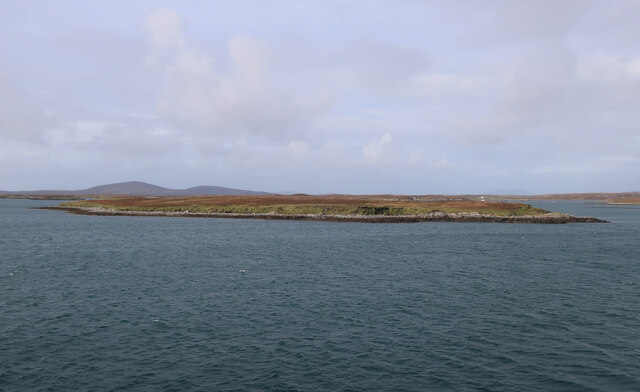
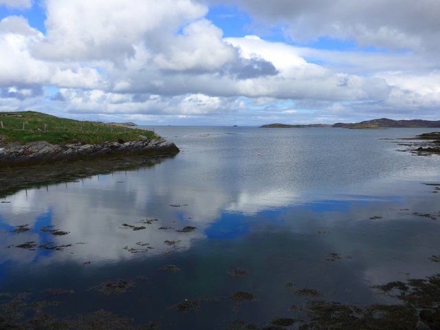
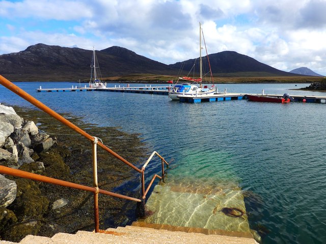
Rubha nan Sgarbh, located in Inverness-shire, Scotland, is a prominent coastal feature known for its stunning headland and point. Situated on the western coast of the Highlands, this rocky headland juts out into the North Atlantic Ocean, offering breathtaking views and a picturesque landscape.
The name Rubha nan Sgarbh translates to "Point of the Cormorants" in English, which is fitting as the area is known to be a haven for these large seabirds. The headland is characterized by its rugged cliffs, which provide nesting sites and roosting areas for a variety of bird species, including cormorants, gulls, and fulmars.
The headland is composed of ancient sedimentary rocks and is marked by a distinct geological feature known as a sea stack. This sea stack, known as Sgeir Mhor, stands tall and solitary, rising from the sea just off the coast. It serves as a dramatic focal point and a favorite subject for photographers and nature enthusiasts.
The surrounding coastal area of Rubha nan Sgarbh is also renowned for its diverse wildlife and natural beauty. Seal colonies can often be spotted lounging on nearby rocks, while dolphins and porpoises can sometimes be seen playing in the waters offshore. The headland is enveloped by a windswept coastal vegetation, including grasses, heather, and wildflowers, adding to its allure.
Visitors to Rubha nan Sgarbh can explore the area via well-maintained coastal paths, allowing them to appreciate the headland's majestic cliffs and panoramic views of the ocean and surrounding coastline. It is a popular destination for hikers, birdwatchers, and nature lovers seeking a tranquil and awe-inspiring coastal experience.
If you have any feedback on the listing, please let us know in the comments section below.
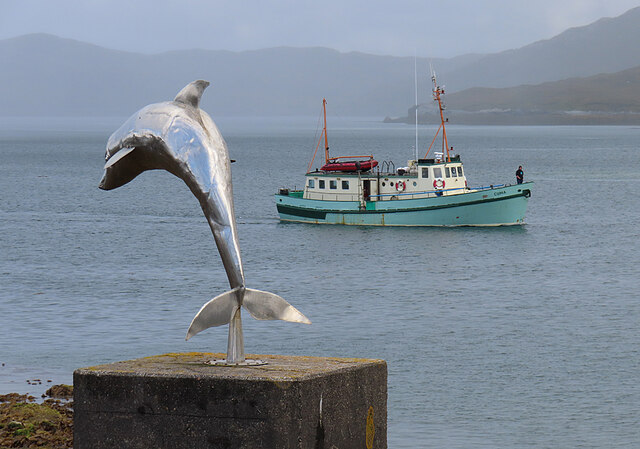
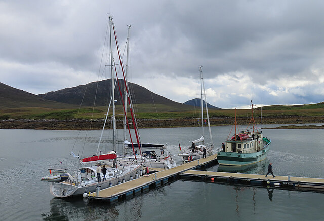
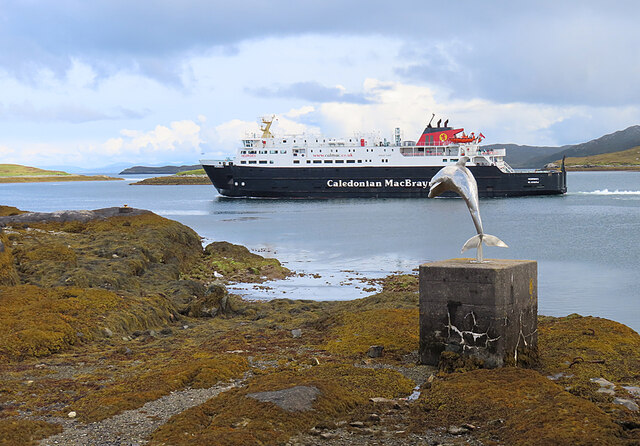
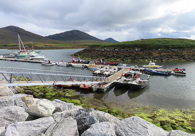
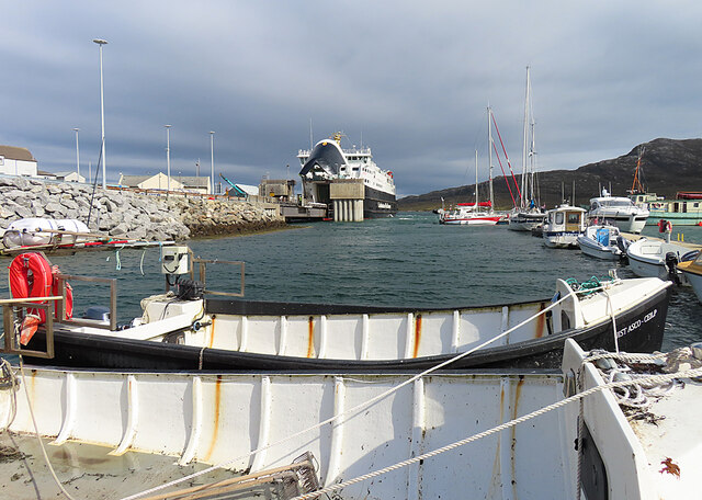
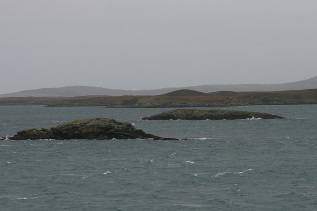
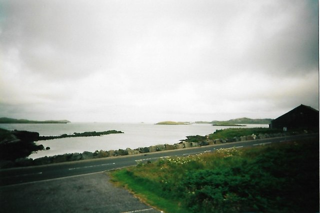
Rubha nan Sgarbh Images
Images are sourced within 2km of 57.608283/-7.1547324 or Grid Reference NF9269. Thanks to Geograph Open Source API. All images are credited.


Rubha nan Sgarbh is located at Grid Ref: NF9269 (Lat: 57.608283, Lng: -7.1547324)
Unitary Authority: Na h-Eileanan an Iar
Police Authority: Highlands and Islands
What 3 Words
///laminated.bunk.stocks. Near Lochmaddy, Na h-Eileanan Siar
Related Wikis

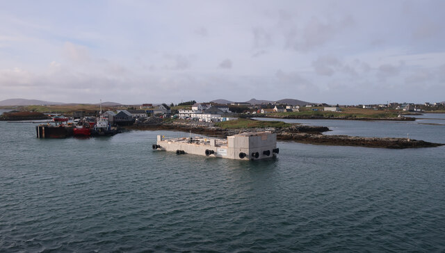
Lochmaddy
Lochmaddy (Scottish Gaelic: Loch nam Madadh [l̪ˠɔx nə ˈmat̪əɣ], "Loch of the Hounds") is the administrative centre of North Uist in the Outer Hebrides...

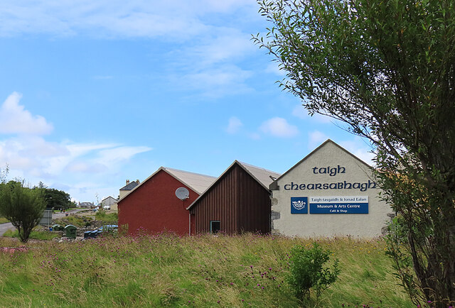
Taigh Chearsabhagh
Taigh Chearsabhagh is an arts centre and museum in Lochmaddy on the island of North Uist, Scotland.Taigh Chearsabhagh was built in 1741 and originally...

Ceallasaigh Beag
Ceallasaigh Beag (or Keallasay Beg) is a low-lying island in Loch Maddy off North Uist in the Outer Hebrides of Scotland. This an area of shallow lagoons...

Ceallasaigh Mòr
Ceallasaigh Mòr (or Keallasay More) is a low-lying island in Loch Maddy off North Uist in the Outer Hebrides of Scotland. This an area of shallow lagoons...
Weavers Point
Weavers Point (Scottish Gaelic: Rubha an Fhigheadair) is a headland to the north of the entrance to Loch Maddy, on the north eastern coastline of North...

Na Fir Bhrèige
Na Fir Bhrèige (pronounced [nə fiɾʲ ˈvɾʲeːkʲə]; can be translated from Gaelic into English as "The False Men") is a set of three standing stones on the...
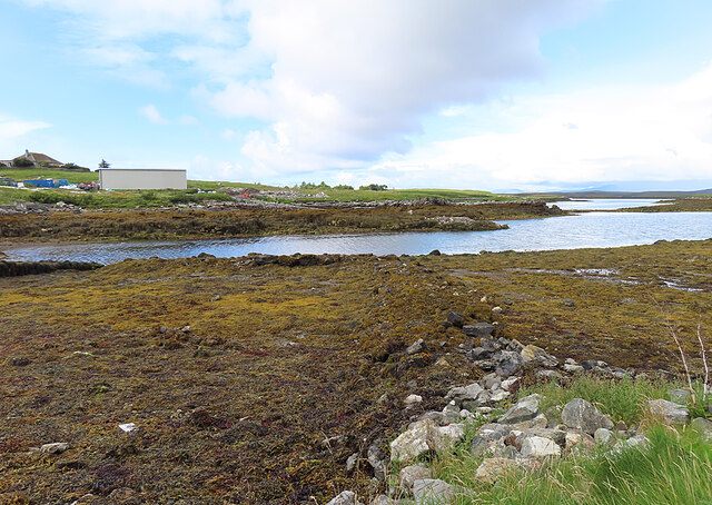
Loch an Duin
Loch an Duin is a complex system of freshwater, brackish and sea lochs, tidal channels and islands, on and close to North Uist off the west coast of Scotland...
Stromay
Stromay (Scottish Gaelic: Sròmaigh) is a tidal island off North Uist in the Sound of Harris, Scotland. The low island of Stromay lies between two wide...
Nearby Amenities
Located within 500m of 57.608283,-7.1547324Have you been to Rubha nan Sgarbh?
Leave your review of Rubha nan Sgarbh below (or comments, questions and feedback).