Rubha na Rainich
Coastal Feature, Headland, Point in Inverness-shire
Scotland
Rubha na Rainich
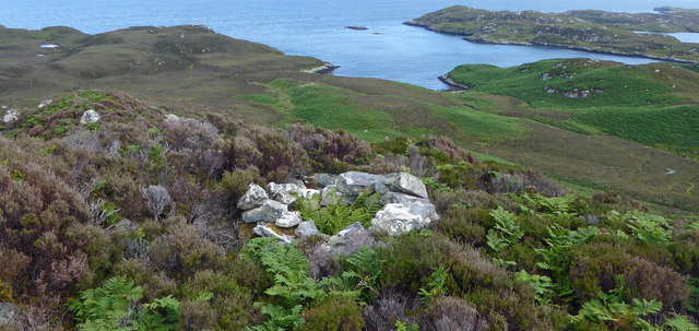
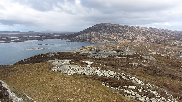
Rubha na Rainich is a stunning coastal feature located in Inverness-shire, Scotland. This headland, also known as Rainich Point, juts out into the North Atlantic Ocean, offering breathtaking panoramic views of the surrounding landscape.
Situated on the western coast of Scotland, Rubha na Rainich is characterized by its rugged terrain and dramatic cliffs that rise steeply from the sea. The headland is composed mainly of ancient rock formations, adding to its geological significance. These cliffs provide a nesting habitat for a variety of seabirds, including puffins, razorbills, and guillemots, making it a popular spot for birdwatching enthusiasts.
The headland is also renowned for its picturesque lighthouse, which was constructed in the 19th century to guide ships navigating the treacherous waters of the Moray Firth. The lighthouse stands tall on the edge of the headland, its vibrant white structure contrasting beautifully against the rugged coastal backdrop.
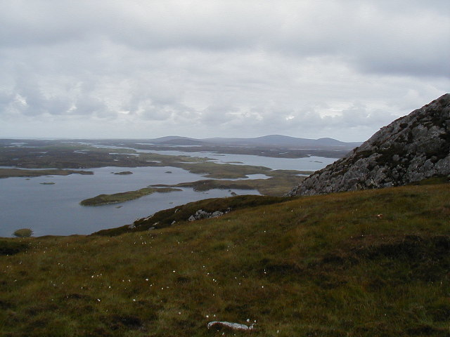
In addition to its natural beauty, Rubha na Rainich offers opportunities for outdoor activities such as hiking and photography. The headland is accessible via a well-maintained walking trail that winds its way through heather-covered moorland and offers stunning vistas at every turn. The area is also rich in marine life, with seals often spotted basking on the rocky shores, adding another element of interest to this coastal feature.
Overall, Rubha na Rainich is a captivating headland that showcases the raw beauty of Scotland's western coast. With its breathtaking views, rich wildlife, and historical lighthouse, it is a must-visit destination for nature lovers and those seeking a glimpse of Scotland's natural wonders.
If you have any feedback on the listing, please let us know in the comments section below.
Rubha na Rainich Images
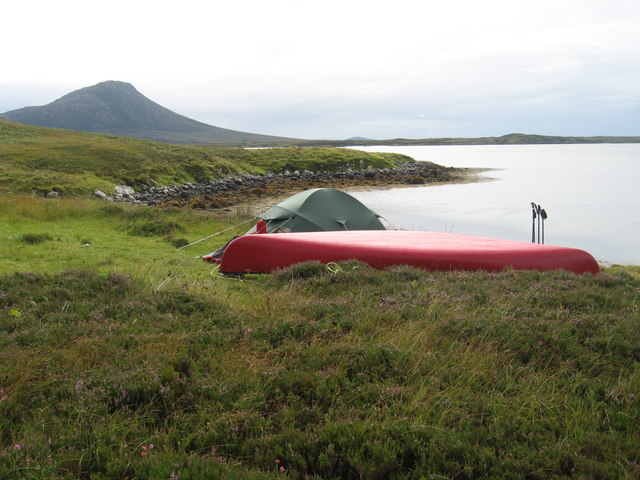
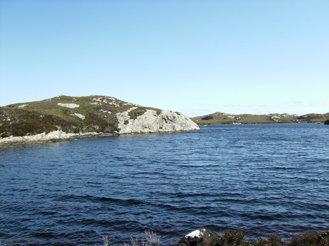
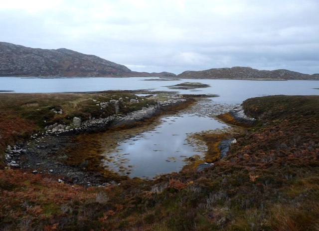
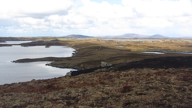
Images are sourced within 2km of 57.555541/-7.1467076 or Grid Reference NF9263. Thanks to Geograph Open Source API. All images are credited.


Rubha na Rainich is located at Grid Ref: NF9263 (Lat: 57.555541, Lng: -7.1467076)
Unitary Authority: Na h-Eileanan an Iar
Police Authority: Highlands and Islands
What 3 Words
///binds.withdrew.manliness. Near Lochmaddy, Na h-Eileanan Siar
Related Wikis

Taigh Chearsabhagh
Taigh Chearsabhagh is an arts centre and museum in Lochmaddy on the island of North Uist, Scotland.Taigh Chearsabhagh was built in 1741 and originally...

Lochmaddy
Lochmaddy (Scottish Gaelic: Loch nam Madadh [l̪ˠɔx nə ˈmat̪əɣ], "Loch of the Hounds") is the administrative centre of North Uist in the Outer Hebrides...

Flodaigh Mòr
Flodaigh Mòr (or Floddaymore) is an uninhabited island in the Outer Hebrides of Scotland. == Geography and geology == Flodaigh Mòr lies east of North Uist...
Weavers Point
Weavers Point (Scottish Gaelic: Rubha an Fhigheadair) is a headland to the north of the entrance to Loch Maddy, on the north eastern coastline of North...

Loch Sgadabhagh
Loch Sgadabhagh or Loch Scadavay is a body of water on the island of North Uist, Scotland. The name may be of Old Norse derivation meaning "lake of tax...

Ceallasaigh Beag
Ceallasaigh Beag (or Keallasay Beg) is a low-lying island in Loch Maddy off North Uist in the Outer Hebrides of Scotland. This an area of shallow lagoons...

Ronay
Ronay (Scottish Gaelic: Rònaigh) is an island in the Outer Hebrides of Scotland, which lies a short distance off the east coast of Grimsay. == Geography... ==

Fraoch-Eilean
Fraoch-eilean is a small island with an uncertain population north of Benbecula in the Outer Hebrides of Scotland. It is about 55 hectares (140 acres...
Nearby Amenities
Located within 500m of 57.555541,-7.1467076Have you been to Rubha na Rainich?
Leave your review of Rubha na Rainich below (or comments, questions and feedback).