Andrews' Geo
Coastal Feature, Headland, Point in Shetland
Scotland
Andrews' Geo

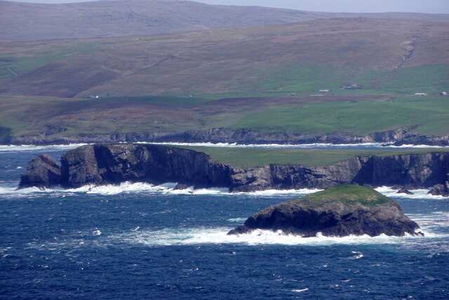
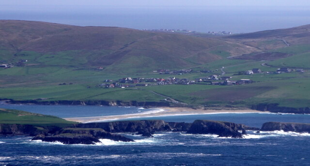
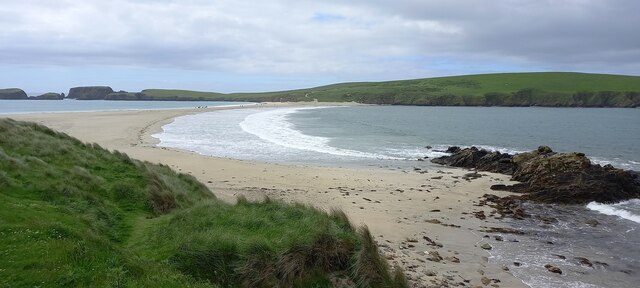
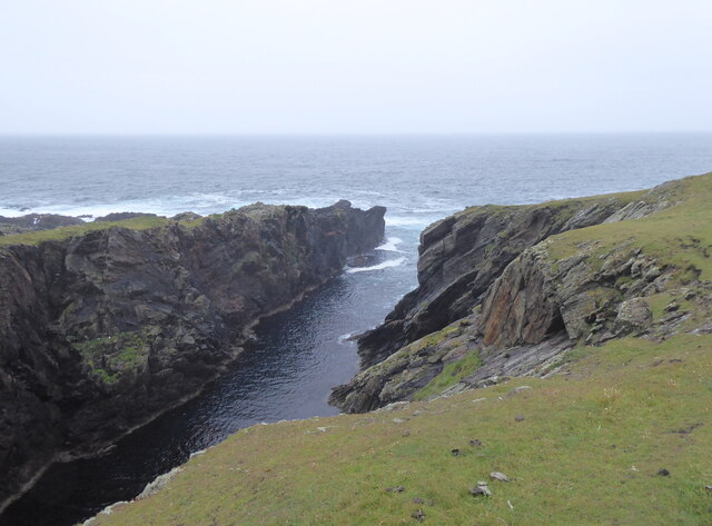
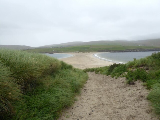
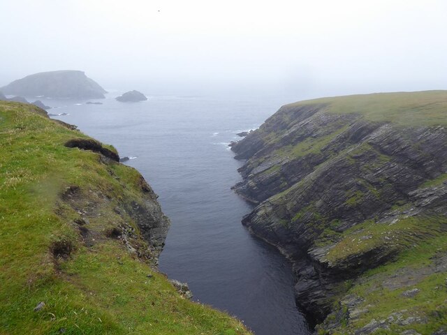
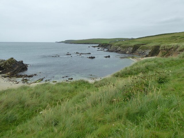
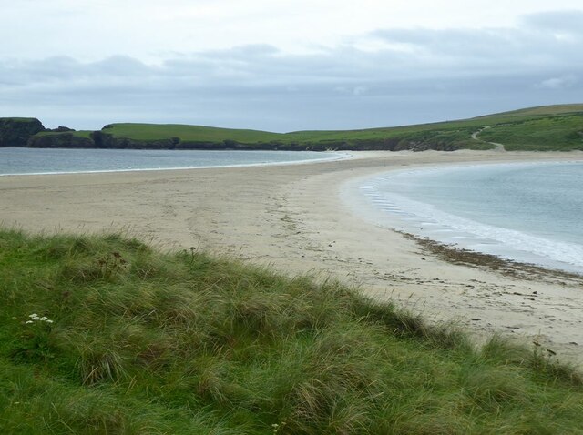
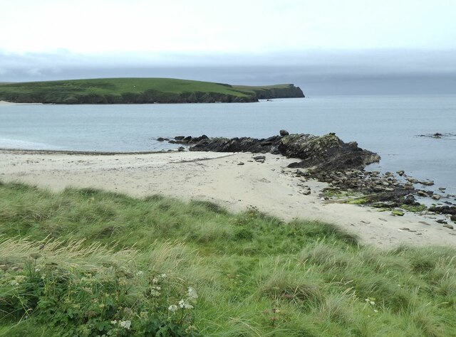
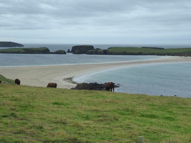
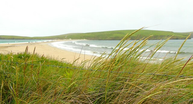
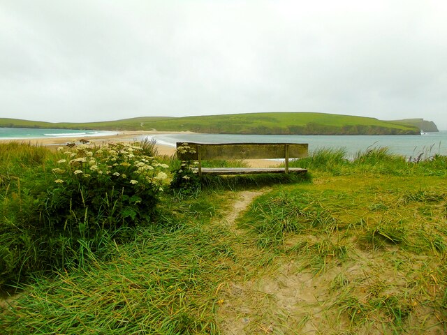
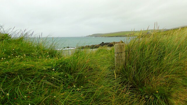
Andrews' Geo is a prominent coastal feature located in Shetland, Scotland. Specifically, it is a headland or a point that juts out into the sea, offering stunning views of the surrounding landscape. Andrews' Geo is situated on the west coast of Shetland, near the town of Walls.
This coastal feature is characterized by its rugged and rocky terrain, with steep cliffs that rise up from the sea. The cliffs are composed of contrasting layers of sedimentary rocks, showcasing the geological history of the area. The exposed rocks display various hues, ranging from shades of grey to reddish-brown, adding to the visual appeal of the site.
One of the notable aspects of Andrews' Geo is its unique wildlife. The surrounding waters are home to a diverse range of marine life, including seals, otters, and various species of seabirds. These creatures can often be spotted in the vicinity of the headland, making it a popular spot for wildlife enthusiasts and photographers.
In addition to its natural beauty, Andrews' Geo also holds historical significance. The area has been inhabited for centuries, with archaeological evidence indicating human presence dating back to the Iron Age. Ruins of ancient structures, such as stone walls and foundations, can still be found in the vicinity, alluding to the rich history of the region.
Overall, Andrews' Geo is a captivating coastal feature that showcases the raw beauty of Shetland's landscape. Its rugged cliffs, diverse wildlife, and historical remnants make it a must-visit destination for nature lovers and history enthusiasts alike.
If you have any feedback on the listing, please let us know in the comments section below.
Andrews' Geo Images
Images are sourced within 2km of 59.978613/-1.3337987 or Grid Reference HU3721. Thanks to Geograph Open Source API. All images are credited.


Andrews' Geo is located at Grid Ref: HU3721 (Lat: 59.978613, Lng: -1.3337987)
Unitary Authority: Shetland Islands
Police Authority: Highlands and Islands
What 3 Words
///petulant.collect.proof. Near Sandwick, Shetland Islands
Nearby Locations
Related Wikis

Bigton
Bigton is a small settlement on South Mainland, Shetland, UK. Bigton is within the civil parish of Dunrossness.Bigton lies on the Atlantic coast of the...

St Ninian's Isle
St Ninian's Isle is a small tied island connected by the largest tombolo in the UK to the south-western coast of the Mainland, Shetland, in Scotland. It...

Colsay
Colsay is an uninhabited island off the South West coast of Mainland, Shetland. Fora Ness lies to the south, across the Muckle Sound. The highest elevation...

Levenwick
Levenwick is a small village about 17 miles (27 km) south of Lerwick, on the east side of the South Mainland of Shetland, Scotland. It is part of the parish...

Scousburgh
Scousburgh is a small community in the parish of Dunrossness, in the South Mainland of Shetland, Scotland, overlooking the picturesque Scousburgh Sand...

Clumlie Broch
Clumlie Broch is an Iron Age broch located on Mainland, Shetland, in Scotland (grid reference HU40451811). == Location == Clumlie Broch is located in Dunrossness...

Dunrossness
Dunrossness, (Old Norse: Dynrastarnes meaning "headland of the loud tide-race", referring to the noise of Sumburgh Roost) is the southernmost parish of...

Hoswick
Hoswick is a settlement in Sandwick in the south mainland of Shetland, Scotland, on the eastern part of the Dunrossness civil parish. It is separated from...
Nearby Amenities
Located within 500m of 59.978613,-1.3337987Have you been to Andrews' Geo?
Leave your review of Andrews' Geo below (or comments, questions and feedback).