Geo of Lindale
Coastal Feature, Headland, Point in Shetland
Scotland
Geo of Lindale

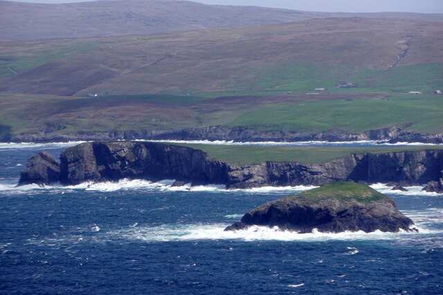
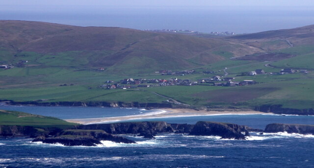
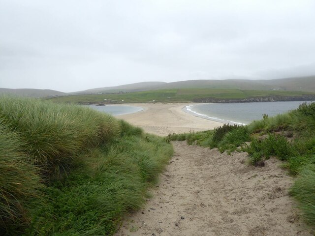
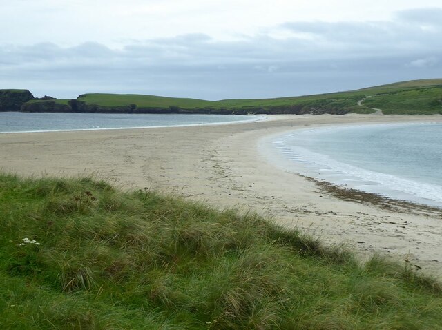
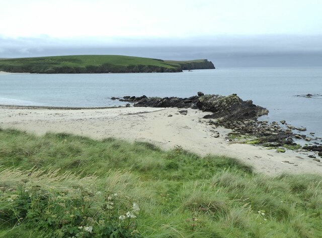
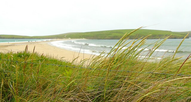
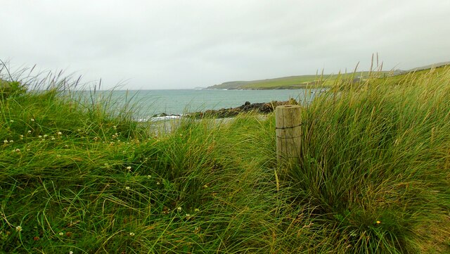
Geo of Lindale is a prominent coastal feature located in the Shetland Islands, Scotland. It is known for its stunning landscapes and unique geological formations. Situated on the west coast of the Shetland Mainland, this headland stretches out into the North Atlantic Ocean, providing breathtaking views of the surrounding seascape.
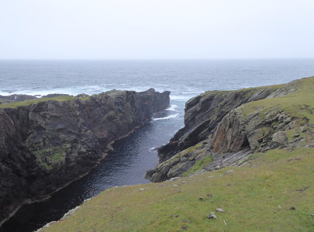
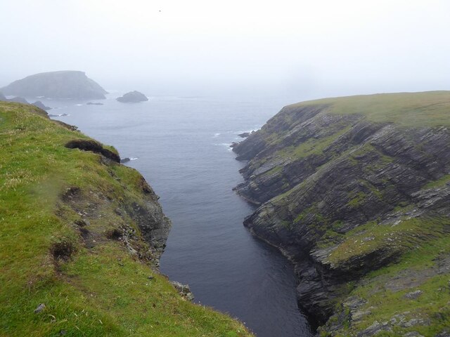
The name "geo" is a local term used in Shetland to describe narrow inlets or coves formed by the erosion of cliffs. Geo of Lindale is characterized by its dramatic cliffs, which rise steeply from the rocky shoreline. These cliffs are composed mainly of sandstone and shale, showcasing intricate layers of sedimentary rock that have been shaped by millions of years of natural processes.
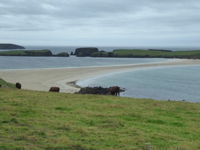
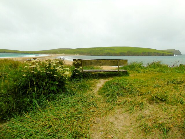
The headland itself juts out into the ocean, creating a natural vantage point for observing the marine environment. From here, visitors can witness the mighty waves crashing against the rocks and observe seabirds soaring above the water. The geo is also a popular spot for fishing, with anglers often trying their luck from the rocky ledges.
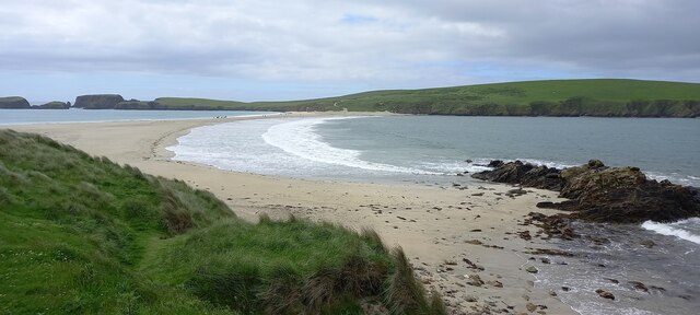
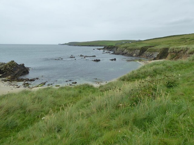
The area surrounding Geo of Lindale is rich in biodiversity, with various species of birds, plants, and marine life thriving in this unique coastal habitat. Seals can frequently be seen lazing on the nearby skerries, while dolphins and whales occasionally make appearances in the waters offshore.
Overall, Geo of Lindale is a striking coastal feature that offers an immersive experience of Shetland's rugged beauty. Whether it be for geological enthusiasts, nature lovers, or those seeking tranquility, this headland provides a captivating and memorable visit.
If you have any feedback on the listing, please let us know in the comments section below.
Geo of Lindale Images
Images are sourced within 2km of 59.979806/-1.3354231 or Grid Reference HU3721. Thanks to Geograph Open Source API. All images are credited.


Geo of Lindale is located at Grid Ref: HU3721 (Lat: 59.979806, Lng: -1.3354231)
Unitary Authority: Shetland Islands
Police Authority: Highlands and Islands
What 3 Words
///overtones.onto.butternut. Near Sandwick, Shetland Islands
Nearby Locations
Related Wikis

Bigton
Bigton is a small settlement on South Mainland, Shetland, UK. Bigton is within the civil parish of Dunrossness.Bigton lies on the Atlantic coast of the...

St Ninian's Isle
St Ninian's Isle is a small tied island connected by the largest tombolo in the UK to the south-western coast of the Mainland, Shetland, in Scotland. It...

Colsay
Colsay is an uninhabited island off the South West coast of Mainland, Shetland. Fora Ness lies to the south, across the Muckle Sound. The highest elevation...

Levenwick
Levenwick is a small village about 17 miles (27 km) south of Lerwick, on the east side of the South Mainland of Shetland, Scotland. It is part of the parish...

Scousburgh
Scousburgh is a small community in the parish of Dunrossness, in the South Mainland of Shetland, Scotland, overlooking the picturesque Scousburgh Sand...

Hoswick
Hoswick is a settlement in Sandwick in the south mainland of Shetland, Scotland, on the eastern part of the Dunrossness civil parish. It is separated from...
Little Havra
Little Havra is a small island off the west of South Mainland in Shetland. It is 35 metres (115 ft) at its highest point, upon which there is a cairn....

Clumlie Broch
Clumlie Broch is an Iron Age broch located on Mainland, Shetland, in Scotland (grid reference HU40451811). == Location == Clumlie Broch is located in Dunrossness...
Nearby Amenities
Located within 500m of 59.979806,-1.3354231Have you been to Geo of Lindale?
Leave your review of Geo of Lindale below (or comments, questions and feedback).