Hundi Geo
Coastal Feature, Headland, Point in Shetland
Scotland
Hundi Geo
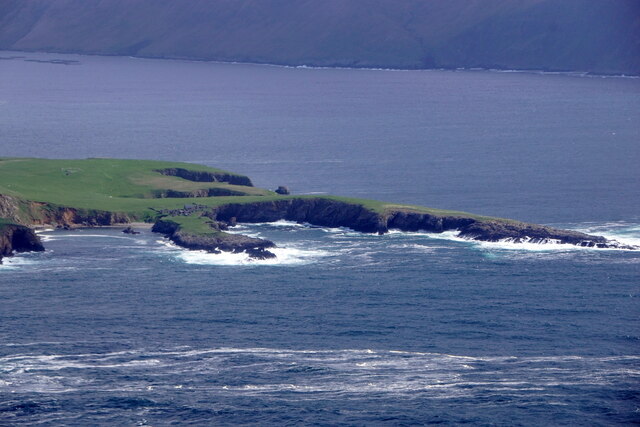
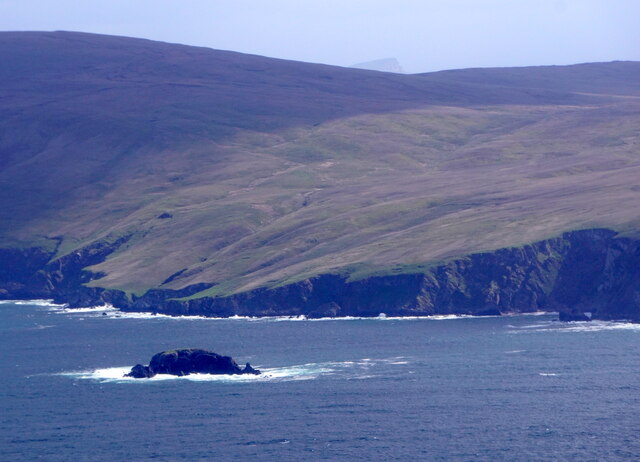
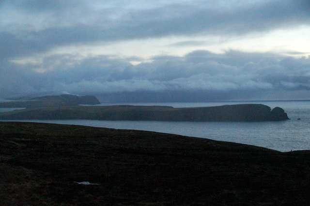
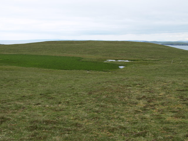
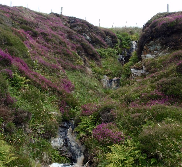
Hundi Geo is a prominent coastal feature located in the Shetland Islands, an archipelago in Scotland. It is specifically situated on the east coast of the main island, known as Mainland. Hundi Geo is classified as a headland or point, characterized by its striking cliffs and rocky terrain.
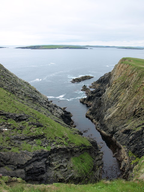
The name "Hundi Geo" derives from the Shetland dialect, with "Hundi" meaning "dog" and "Geo" referring to a narrow inlet or cove. This name is believed to have been given due to the shape of the headland resembling a dog's head when viewed from a distance.
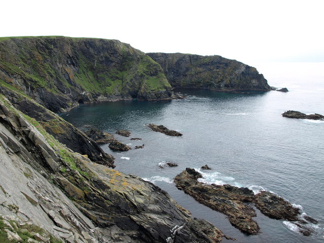
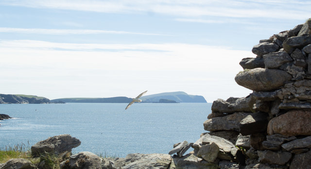
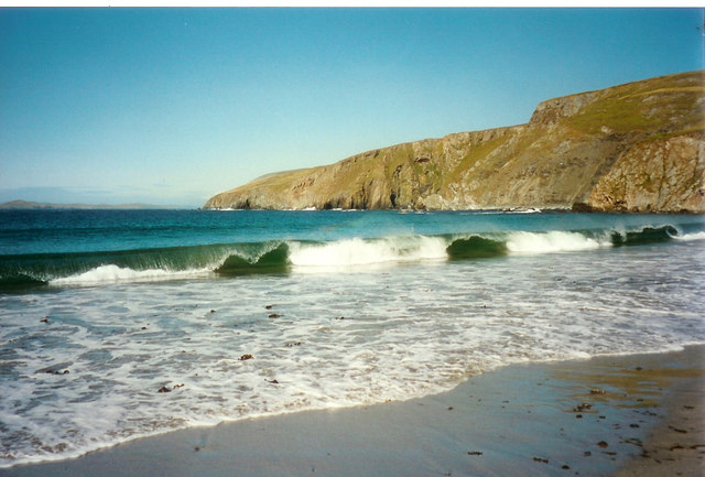
The headland is composed of rugged rocks, including sandstone and basalt formations, which have been shaped by the relentless force of the North Sea's waves. Hundi Geo is known for its dramatic cliffs, rising to a considerable height above the sea level. These cliffs provide stunning panoramic views of the surrounding coastline and the vast expanse of the sea.
The area around Hundi Geo is rich in marine biodiversity, attracting a variety of seabirds, such as puffins, guillemots, and fulmars. It is also a popular spot for birdwatching enthusiasts and nature photographers.
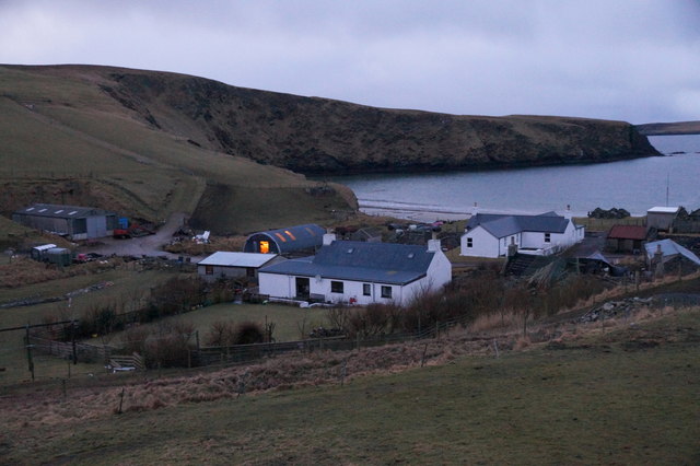
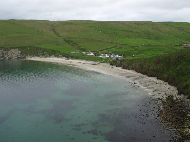
Access to Hundi Geo is relatively easy, with a well-maintained footpath leading to the headland from the nearby village of Cunningsburgh. Visitors can explore the area on foot, taking in the breathtaking views and enjoying the peacefulness of the coastal surroundings.
Overall, Hundi Geo is a captivating coastal feature in the Shetland Islands, offering a remarkable natural landscape and an opportunity to appreciate the rugged beauty of the Scottish coastline.
If you have any feedback on the listing, please let us know in the comments section below.
Hundi Geo Images
Images are sourced within 2km of 60.007216/-1.3327933 or Grid Reference HU3724. Thanks to Geograph Open Source API. All images are credited.


Hundi Geo is located at Grid Ref: HU3724 (Lat: 60.007216, Lng: -1.3327933)
Unitary Authority: Shetland Islands
Police Authority: Highlands and Islands
What 3 Words
///plotted.flagged.improvise. Near Sandwick, Shetland Islands
Nearby Locations
Related Wikis

South Havra
South Havra (Scots: Sooth Haevra; Old Norse: Hafrey), formerly Hevera, is an uninhabited island in the Scalloway Islands, Shetland, Scotland. == Geography... ==

Little Havra
Little Havra is a small island off the west of South Mainland in Shetland. It is 35 metres (115 ft) at its highest point, upon which there is a cairn....

Bigton
Bigton is a small settlement on South Mainland, Shetland, UK. Bigton is within the civil parish of Dunrossness. Bigton lies on the Atlantic coast of the...
St Ninian's Isle
St Ninian's Isle is a small tied island connected by the largest tombolo in the UK to the south-western coast of the Mainland, Shetland, in Scotland. It...
Have you been to Hundi Geo?
Leave your review of Hundi Geo below (or comments, questions and feedback).