May Wick
Bay in Shetland
Scotland
May Wick
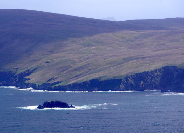
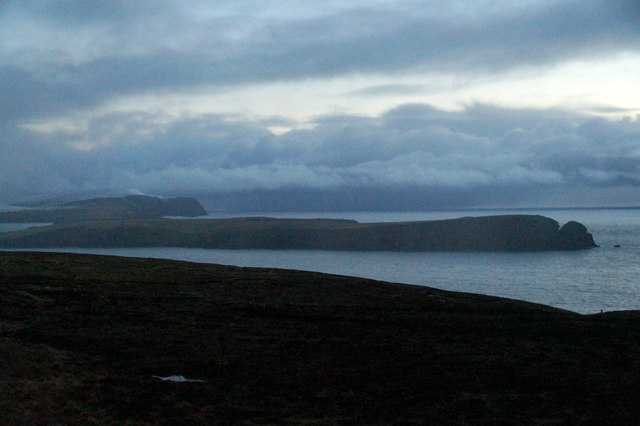
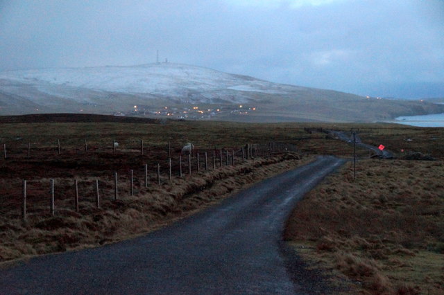
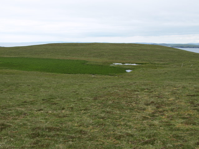
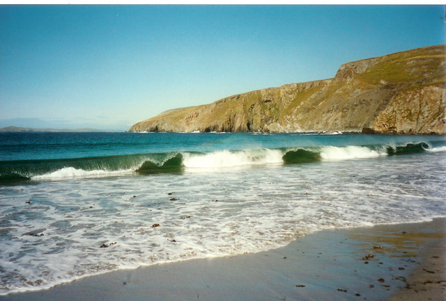
May Wick is a picturesque bay located on the northern coast of the Shetland Islands, an archipelago in Scotland. Situated near the village of Sumburgh, May Wick is known for its stunning natural beauty and diverse wildlife.
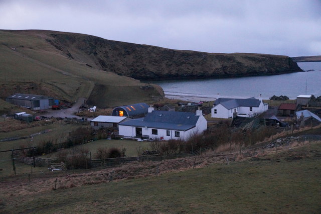
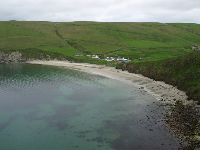
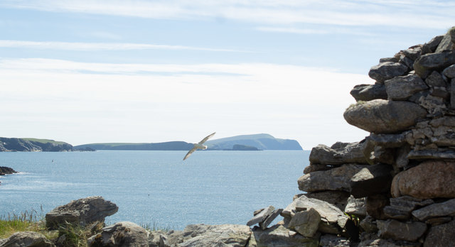
The bay itself is characterized by its pristine sandy beach, which stretches for approximately one kilometer. The sand, composed of fine grains, is a pale golden color, contrasting beautifully with the azure waters of the North Sea. The bay's gentle slope makes it an ideal spot for beachcombing, picnicking, or simply enjoying a leisurely stroll along the shore.
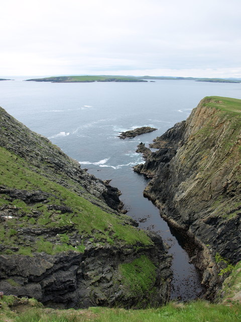
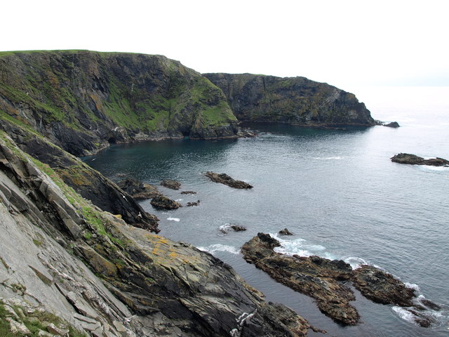
May Wick is also renowned for its rich biodiversity. The surrounding cliffs and grassy dunes provide a habitat for numerous bird species, including puffins, guillemots, and fulmars. Birdwatchers flock to the area to catch glimpses of these fascinating creatures in their natural habitat. On sunny days, seals can often be spotted basking on the rocks or swimming close to the shore.
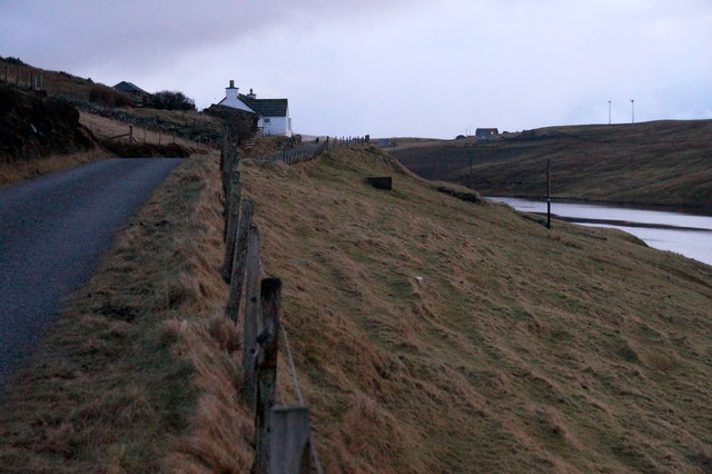
The bay is easily accessible, with a car park and public toilets located nearby. Visitors can also take advantage of the nearby Sumburgh Head Lighthouse, which offers breathtaking panoramic views of the bay and its surroundings.
Whether you are a nature enthusiast, a photographer, or simply seeking a tranquil escape, May Wick is a must-visit destination in the Shetland Islands. Its unspoiled beauty and diverse wildlife make it an enchanting and memorable place to explore.
If you have any feedback on the listing, please let us know in the comments section below.
May Wick Images
Images are sourced within 2km of 60.006713/-1.3273701 or Grid Reference HU3724. Thanks to Geograph Open Source API. All images are credited.


May Wick is located at Grid Ref: HU3724 (Lat: 60.006713, Lng: -1.3273701)
Unitary Authority: Shetland Islands
Police Authority: Highlands and Islands
What 3 Words
///attention.cookie.canines. Near Sandwick, Shetland Islands
Nearby Locations
Related Wikis

South Havra
South Havra (Scots: Sooth Haevra; Old Norse: Hafrey), formerly Hevera, is an uninhabited island in the Scalloway Islands, Shetland, Scotland. == Geography... ==

Little Havra
Little Havra is a small island off the west of South Mainland in Shetland. It is 35 metres (115 ft) at its highest point, upon which there is a cairn....

Bigton
Bigton is a small settlement on South Mainland, Shetland, UK. Bigton is within the civil parish of Dunrossness.Bigton lies on the Atlantic coast of the...
St Ninian's Isle
St Ninian's Isle is a small tied island connected by the largest tombolo in the UK to the south-western coast of the Mainland, Shetland, in Scotland. It...

Hoswick
Hoswick is a settlement in Sandwick in the south mainland of Shetland, Scotland, on the eastern part of the Dunrossness civil parish. It is separated from...

Levenwick
Levenwick is a small village about 17 miles (27 km) south of Lerwick, on the east side of the South Mainland of Shetland, Scotland. It is part of the parish...

Catpund
Catpund is a quarry site in Shetland, Scotland, where steatite vessels were cut from the rock from prehistory onwards. The quarrying marks are still visible...

Sandwick, Dunrossness
see also Sandwick, Whalsay and Sandwick, OrkneySandwick (Old Norse: Sandvik "Sandy Bay") is a village and an ancient parish in the Shetland Islands, Scotland...
Nearby Amenities
Located within 500m of 60.006713,-1.3273701Have you been to May Wick?
Leave your review of May Wick below (or comments, questions and feedback).