Minister's Geo
Coastal Feature, Headland, Point in Orkney
Scotland
Minister's Geo
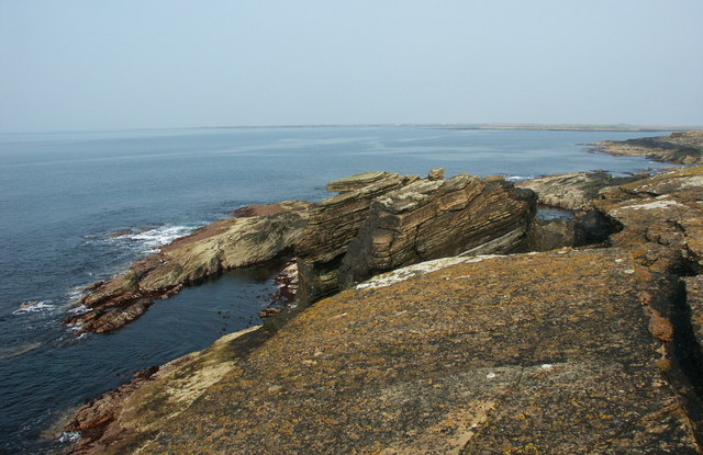
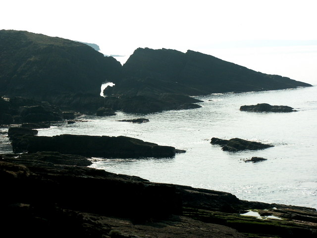
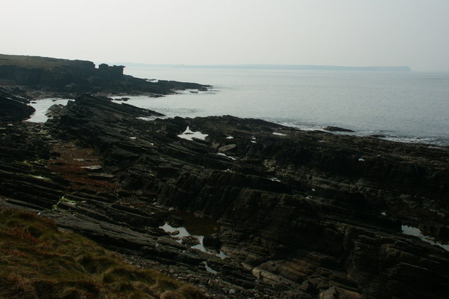
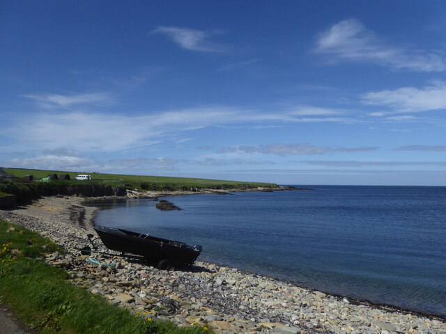
Minister's Geo is a prominent coastal feature located in Orkney, an archipelago situated off the northeastern coast of Scotland. It is a headland or point that juts out into the North Sea, offering stunning views of the surrounding rugged coastline and the vast ocean beyond.
The geo, which is a local term for a narrow inlet or steep-sided cleft in the cliffs, is named after the nearby village of Birsay's former minister. It is a popular destination for locals and tourists alike, thanks to its unique geological formations and natural beauty.
The headland is characterized by towering cliffs that rise dramatically from the sea, reaching heights of up to 30 meters. These cliffs are composed of various types of sedimentary rocks, including sandstone and shale, which have been shaped by the relentless forces of erosion over millions of years.
The Minister's Geo also boasts a diverse range of wildlife, including seabirds such as fulmars, kittiwakes, and guillemots, which nest on the cliffs and can be observed soaring above the churning waves. Visitors may also catch a glimpse of seals, dolphins, or even whales swimming in the waters below.
The area surrounding Minister's Geo is rich in history and archaeology. Nearby, the remains of the 12th-century Birsay Palace can be explored, offering insights into the region's medieval past. Additionally, the headland is home to the famous tidal island of the Brough of Birsay, which can be accessed during low tide and features the ruins of an ancient Norse settlement.
Overall, Minister's Geo is a captivating coastal feature that showcases the raw beauty of Orkney's coastline while offering visitors a glimpse into the region's rich natural and historical heritage.
If you have any feedback on the listing, please let us know in the comments section below.
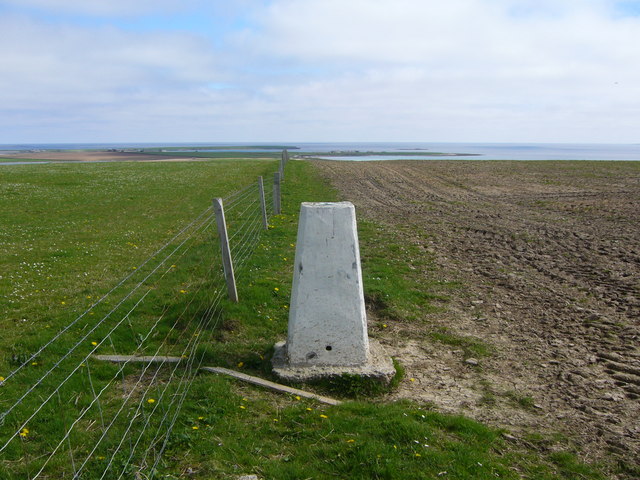
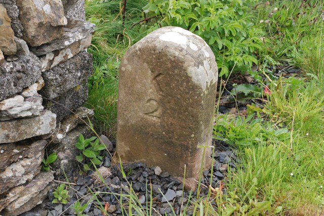
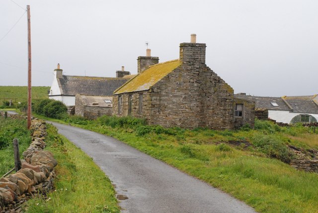
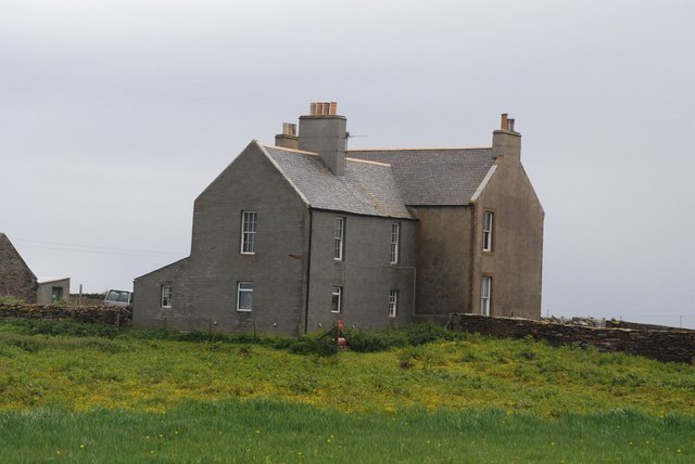
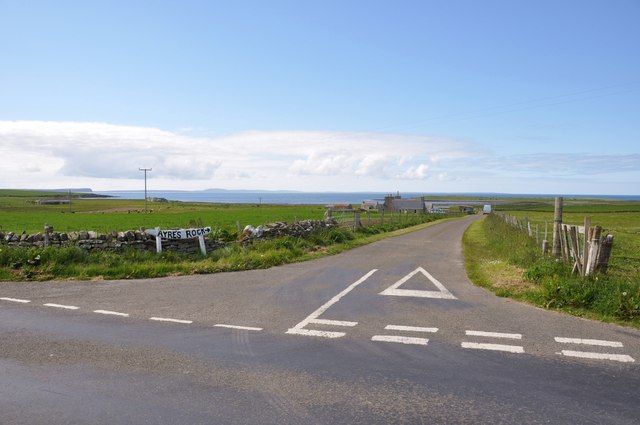
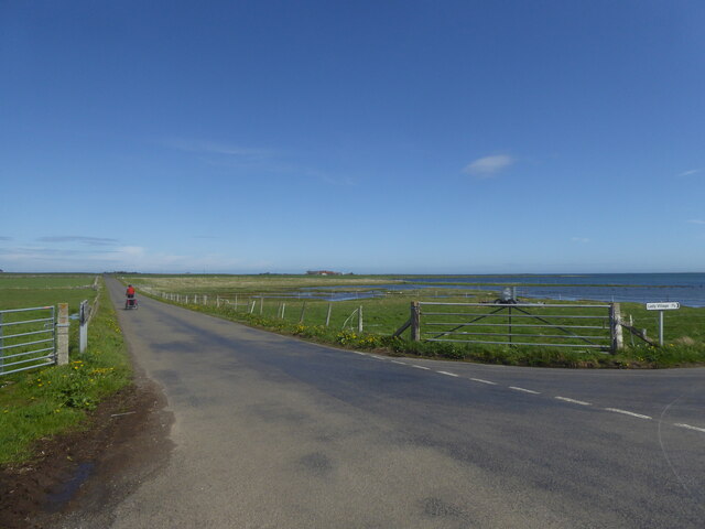
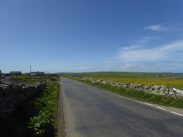
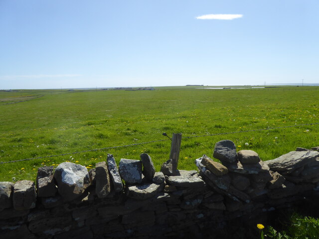
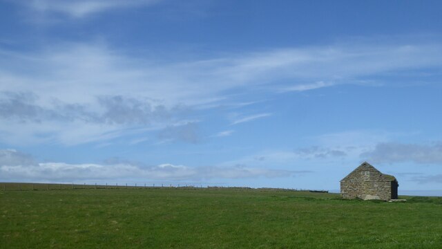
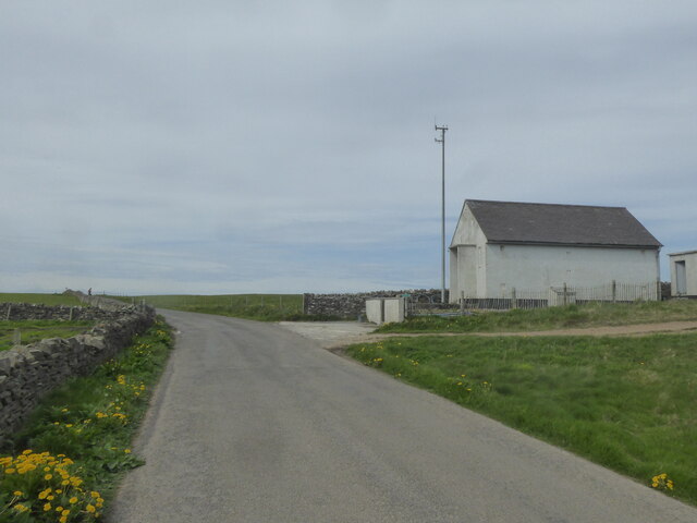
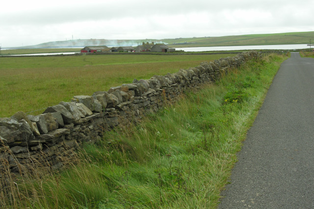
Minister's Geo Images
Images are sourced within 2km of 59.257894/-2.616097 or Grid Reference HY6441. Thanks to Geograph Open Source API. All images are credited.

Minister's Geo is located at Grid Ref: HY6441 (Lat: 59.257894, Lng: -2.616097)
Unitary Authority: Orkney Islands
Police Authority: Highlands and Islands
What 3 Words
///fairy.maple.enough. Near Kettletoft, Orkney Islands
Nearby Locations
Related Wikis

Broughtown
Broughtown is a village on the island of Sanday, in Orkney, Scotland. The settlement is within the parish of Cross and Burness. Sanday Airport is adjacent...

Sanday Airport
Sanday Airport (IATA: NDY, ICAO: EGES) is located 20 NM (37 km; 23 mi) north northeast of Kirkwall Airport on Sanday, Orkney Islands, Scotland. Sanday...

Kettletoft
Kettletoft is a settlement on the island of Sanday in Orkney, Scotland. The B9068 road runs from Kettletoft to Scar and the B9069 from Kettletoft to Northwall...

Sanday, Orkney
Sanday (, Scots: Sandee) is one of the inhabited islands of Orkney that lies off the north coast of mainland Scotland. With an area of 50.43 km2 (19.5...
Nearby Amenities
Located within 500m of 59.257894,-2.616097Have you been to Minister's Geo?
Leave your review of Minister's Geo below (or comments, questions and feedback).