Rives Geo

Coastal Feature, Headland, Point in Orkney

Scotland

Rives Geo

Backaskaill trig
Backaskaill trig Credit: Iain Macaulay

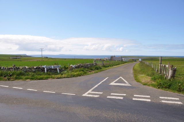
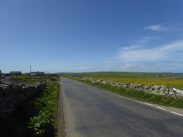
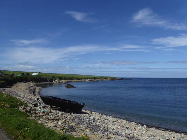
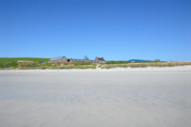
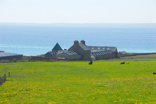
Rives Geo, located in Orkney, is a prominent coastal feature known for its stunning headland and picturesque point. Situated on the northeastern coast of Mainland Orkney, Rives Geo offers breathtaking views of the North Sea and the surrounding rugged landscape.

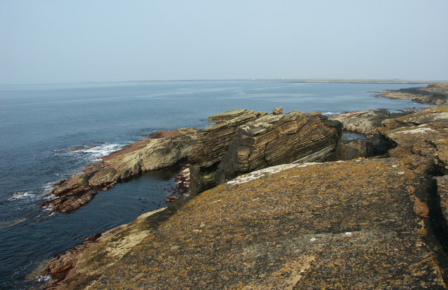
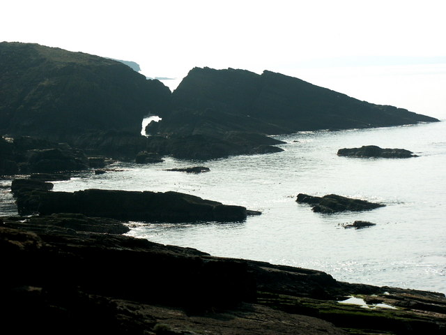
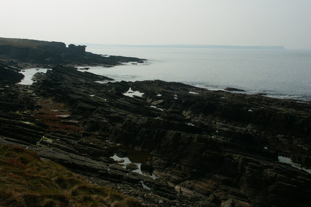
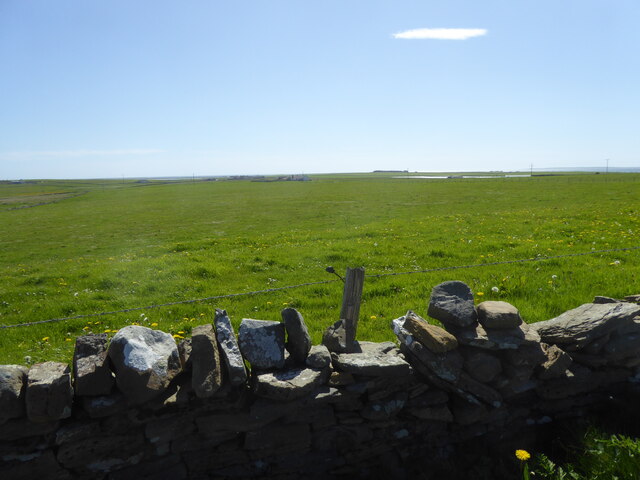
The headland at Rives Geo is characterized by its towering cliffs, rising majestically from the ocean below. These cliffs are comprised of layers of sedimentary rock, showcasing the geological history of the area. The constant erosion from the crashing waves has sculpted the cliffs into intriguing shapes, providing a dramatic backdrop to the coastal scene.

At the tip of the headland lies the point of Rives Geo, which juts out into the sea. This point acts as a natural barrier, protecting the nearby coastline from the force of the waves. The rugged terrain and jagged rocks surrounding the point add to its charm and create a unique visual appeal.

Rives Geo is also home to a diverse range of wildlife, including seabirds such as puffins, razorbills, and fulmars. The surrounding waters are known for their richness in marine life, attracting seals, dolphins, and occasionally even whales.

Visitors to Rives Geo can enjoy stunning coastal walks along the cliffs, taking in the breathtaking views and immersing themselves in the tranquility of the area. The sound of the crashing waves and the fresh sea breeze make it a perfect spot for nature enthusiasts and photographers.

Overall, Rives Geo is a captivating coastal feature that showcases the natural beauty and geological wonders of Orkney. Its headland, point, and surrounding landscape provide a picturesque setting for exploration and appreciation of the region's natural treasures.

If you have any feedback on the listing, please let us know in the comments section below.
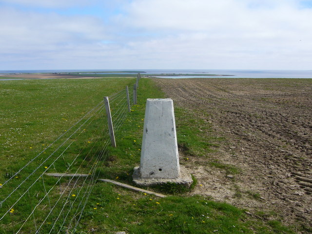
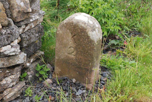
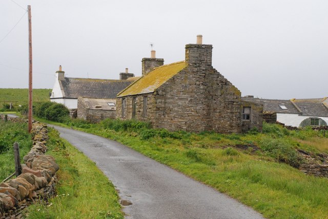
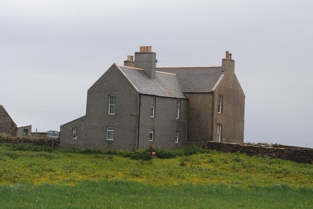
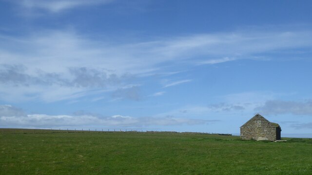
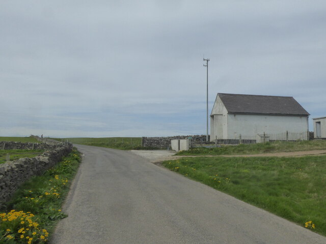
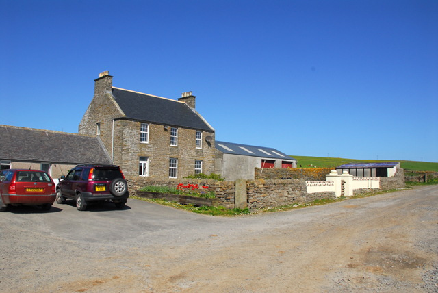
Rives Geo Images

Images are sourced within 2km of 59.256039/-2.6229376 or Grid Reference HY6441. Thanks to Geograph Open Source API. All images are credited.

Backaskaill trig
Backaskaill trig
Milestone 2 miles to Kettletoft.
Milestone
2 miles to Kettletoft.
Marygarth Manse Mid 19th Century Building.
Marygarth Manse
Mid 19th Century Building.
Stack at Taing of the Pund, Sanday Looking northeast towards the Bay of Brough. This whole stretch of coastline is spectacular, with superb erosional features such as arches, caves and stacks.
Stack at Taing of the Pund, Sanday
Looking northeast towards the Bay of Brough. This whole stretch of coastline is spectacular, with superb erosional features such as arches, caves and stacks.
Natural Arch near Blue Geo, Sanday Looking southwest, into the afternoon sun, hence the high contrast. Wave cut platform foreground, with arch.
Natural Arch near Blue Geo, Sanday
Looking southwest, into the afternoon sun, hence the high contrast. Wave cut platform foreground, with arch.
Cliffs and Strata, The Wheems, Sanday Dipping strata eroded into fantastic features. Calf of Eday beyond on the horizon.
Cliffs and Strata, The Wheems, Sanday
Dipping strata eroded into fantastic features. Calf of Eday beyond on the horizon.
Sanday Parish Church near Broughtown
Ayers Rock! No not a sacred monolith in the Australian desert, but the road down to an independent hostel, campsite and craft centre.
<span class="nowrap"><a title="http://www.ayres-rock-sanday-orkney.co.uk/" rel="nofollow ugc noopener" href="http://www.ayres-rock-sanday-orkney.co.uk/">Link</a><img style="margin-left:2px;" alt="External link" title="External link - shift click to open in new window" src="https://s1.geograph.org.uk/img/external.png" width="10" height="10"/></span>
Ayers Rock!
No not a sacred monolith in the Australian desert, but the road down to an independent hostel, campsite and craft centre. LinkExternal link
B9068 at Newbiggings, Sanday
Boat on the shore at Ayre, Sanday
Over wall and fields to Purgatory, Sanday
Ruin by the Coo Road, Sanday
Telephone exchange, Sanday
Bea Loch, Sanday Taken from the Islander plane
Bea Loch, Sanday
Taken from the Islander plane
Backaskaill House, Sanday, Orkney General shot of Backaskaill House. Was once a farm house, but now detached and no longer part of the farm.
Backaskaill House, Sanday, Orkney
General shot of Backaskaill House. Was once a farm house, but now detached and no longer part of the farm.
Backaskaill House, Sanday from the beach View of Backaskaill House from the beach of Backaskail Bay. Note that the house name is spelt with two l's.
Keywords:Scotland, Sanday, Orkney, beach, coast, sand, farm buildings, bay, sea
Backaskaill House, Sanday from the beach
View of Backaskaill House from the beach of Backaskail Bay. Note that the house name is spelt with two l's. Keywords:Scotland, Sanday, Orkney, beach, coast, sand, farm buildings, bay, sea
Backaskaill House, Sanday with bay in background Backaskaill House lies very near to the beach of Backaskail Bay. Note two l's used in house spelling.
Backaskaill House, Sanday with bay in background
Backaskaill House lies very near to the beach of Backaskail Bay. Note two l's used in house spelling.
Show me another place!

Rives Geo is located at Grid Ref: HY6441 (Lat: 59.256039, Lng: -2.6229376)

Unitary Authority: Orkney Islands

Police Authority: Highlands and Islands

What 3 Words

///relations.suspends.whoever. Near Kettletoft, Orkney Islands

Related Wikis

Broughtown

Broughtown is a village on the island of Sanday, in Orkney, Scotland. The settlement is within the parish of Cross and Burness. Sanday Airport is adjacent...

Sanday Airport

Sanday Airport (IATA: NDY, ICAO: EGES) is located 20 NM (37 km; 23 mi) north northeast of Kirkwall Airport on Sanday, Orkney Islands, Scotland. Sanday...

Kettletoft

Kettletoft is a settlement on the island of Sanday in Orkney, Scotland. The B9068 road runs from Kettletoft to Scar and the B9069 from Kettletoft to Northwall...

Sanday, Orkney

Sanday (, Scots: Sandee) is one of the inhabited islands of Orkney that lies off the north coast of mainland Scotland. With an area of 50.43 km2 (19.5...

Nearby Amenities

Located within 500m of 59.256039,-2.6229376
Created By: almien_coastlines mod
Lat/Long: 59.255407/-2.62685
Created By: almien_coastlines mod
Lat/Long: 59.255916/-2.625844
Created By: almien_coastlines mod
Lat/Long: 59.254895/-2.627106
Created By: almien_coastlines mod
Lat/Long: 59.256417/-2.622092
Created By: almien_coastlines mod
Lat/Long: 59.255907/-2.622846
Created By: almien_coastlines mod
Lat/Long: 59.254641/-2.627609
Created By: almien_coastlines mod
Lat/Long: 59.256037/-2.623844
Created By: almien_coastlines mod
Lat/Long: 59.256162/-2.622594
Created By: almien_coastlines mod
Lat/Long: 59.256671/-2.621589
Created By: almien_coastlines mod
Lat/Long: 59.256926/-2.621086
Created By: almien_coastlines mod
Lat/Long: 59.256036/-2.623344
The data included in this document is from www.openstreetmap.org. The data is made available under ODbL.

Have you been to Rives Geo?

Leave your review of Rives Geo below (or comments, questions and feedback).